

Why visit Comrie
Townapedia lists 21 museums and landmarks, 4 parks and trails, 10 places to eat, 4 places to stay and 6 attractions in and around town.
Highlights include Auchingarrich Wildlife Centre, Cultybraggan Camp, Cultybraggan Camp Museum and Comrie Golf Course.
Weather in Comrie
Forecast from MET Norway (CC BY 4.0). Full forecast
About Comrie
Comrie (; Scottish Gaelic: Comaraidh; Pictish: Aberlednock; Latin: Victoria) is a village and parish in the southern Highlands of Scotland, towards the western end of the Strathearn district of Perth and Kinross, 7 mi (11 km) west of Crieff.
From the Wikipedia article Comrie, Perth and Kinross (this version), under CC BY-SA 4.0.
Things to do6



Museums and landmarks21



9 more on the map.
Parks, trails and playgrounds4


Restaurants and cafes10
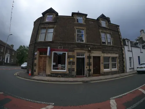
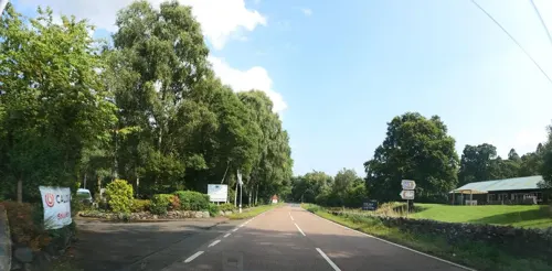
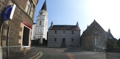




History
There is significant evidence of prehistoric habitation of the area, marked by numerous standing stones and archaeological remains that give insight into the original prehistoric, Pictish and later Celtic societies that lived here.
In AD 79, the Roman General Agricola chose what are now the outskirts of Comrie as the site for a fort and temporary marching camp, due to the area's strategic position on the southern fringe of the Highlands. It is one of the line of so-called "Glen blocking" forts running from Drumquhassle to Stracathro and including the legionary fortress of Inchtuthil. The temporary camp was c. 22 acre (c. 9 ha) in size. An infamous battle between the Celts and Romans is known to have occurred on the unidentified mountain Mons Graupius. The area around Comrie, Strathearn, is one of several proposed battle sites.
James V of Scotland came to Comrie and Cultybraggan regularly in September to hunt deer. Records survive of the food he consumed included bread, ale and fish sent from Stirling. His consort Mary of Guise and her ladies in waiting also came to the hunting in Glenartney. A "Hunt Hall" for the use of Mary, Queen of Scots, was built in Glenartney by James Stewart, 1st Lord Doune in August 1563.
Read more of the history
Comrie's early prosperity derived from weaving. This was mostly done as domestic piecework. Comrie was also important as a droving town. Cattle destined for the markets of the Scottish Lowlands and ultimately England would be driven south from their grazing areas in the Highlands. River crossings, such as at Comrie, were important staging posts on the way south. Much of the land around Comrie was owned by the Drummond family, Earls of Perth, latterly Earls of Ancaster, whose main seat was Drummond Castle, south of Crieff. Another branch of the Drummonds owned Drummondernoch (Gaelic: Drumainn Èireannach – Drummond of Ireland), to the west of the town. Aberuchill Castle, however, just outside Comrie was originally a Campbell seat.
Over the years the village has grown to incorporate many smaller satellite settlements, including The Ross (Gaelic: An Ros) a small settlement to the west of the village contained within a river peninsula (An Ros literally translates as peninsula) which became more accessible when the Ross Bridge was constructed in 1792. Before that the peninsula was only reached by a river ford. Similarly, the once isolated communities in the surrounding glens and mountains, such as Invergeldie in Glen Lednock and Dalchruin in Glen Artney, have generally come to be seen as part of Comrie village. Previously, they existed as small isolated settlements – for instance, Glen Lednock contained 21 different settlements of 350 individual structures and 25 corn-drying kilns. However, these exclusively Gaelic-speaking hamlets were largely eviscerated by the Highland Clearances of the 18th and 19th centuries. The first earthquake reported in Scottish history occurred in Comrie in 1801; two farmworkers were killed when a barn collapsed during the earthquake.
Comrie underwent something of a renaissance in the early 19th century and Victorian periods as an attractive location for wealthy residents and visitors, an image which has been maintained to this day. This popularity helped to bring the railway in 1893, when the Caledonian Railway completed a branch line from Crieff. The line was later extended to meet the Callander and Oban Railway at Lochearnhead. The Comrie–Lochearnhead line was closed in 1951 and the Comrie–Crieff line in 1964, due largely to the improved road network in the area.
Comrie's mountainous setting with abundant streams and lochs brought a number of hydro-electric power plants into the area in the earlier 20th century. A dam was built in Glen Lednock and water piped to another plant from Loch Earn in the west.
Today Comrie is an attractive retirement village, recording the highest proportion of over-65s in Scotland in the 1991 census. Its economy is supplemented by adventure and wildlife tourism. Like other Highland villages, it has seen an influx of residents in recent decades. Some have bought buy-to-let and second-home conversions, which has tended to raise housing prices and cause tensions with locals. Even so, Comrie retains its spirit, traditions and community feel.
From the History section of Comrie, Perth and Kinross on Wikipedia, under CC BY-SA 4.0.
Notable people from Comrie
 George GilfillanScottish writer (1813-1878)Photo: G J Stodart (Engraver) (Life time: died 1884), Public domain
 Carly Boothprofessional golferPhoto: DanRocketYardSports, CC BY-SA 4.0
 Archibald McIntyreCanadian carpenter and joiner (1835–1899)Photo: Archibald McIntyre / published in..., Public domain
- John Manson CraigScottish military officer (1896–1970); recipient of the Victoria Cross
Born in Comrie, according to Wikidata (CC0). Each name links to its Wikipedia article.
Where to stay4
Churches and places of worship3
Shopping5
Schools, colleges and libraries1
Healthcare1
Map of Comrie
55 places. The map loads OpenStreetMap tiles when you open it.
Getting there and nearby towns
Perth Airport (PSL) is the nearest airport with scheduled flights listed in OpenStreetMap, 24 miles away.
- Crieff 5 mi east, about 9 min by car
- Dunblane 12 mi south, about 20 min by car
- Doune 13 mi south, about 20 min by car
- Methven 16 mi east, about 25 min by car
- Stirling 17 mi south, about 28 min by car
- Tillicoultry 18 mi southeast, about 28 min by car
- Sauchie 18 mi southeast, about 30 min by car
- Alloa 19 mi southeast, about 30 min by car
- Dollar 19 mi southeast, about 30 min by car
- Perth 21 mi east, about 34 min by car
Drive times are estimates from straight-line distance, not routes.
Towns near Comrie


Keep exploring
Local news
Headlines from INDB.
Reviews, tips and questions
Loading what members have shared...
Sources and licences
- GeoNames (CC BY 4.0): population, coordinates, regions and time zone
- Mapillary (see each image): photos
- OpenStreetMap contributors (ODbL 1.0): places, airports, map data
- Wikidata (CC0 1.0): elevation, founding date, time zone, website
- Wikimedia Commons (see each image): photos
- Wikipedia (CC BY-SA 4.0): overview and history text
Photo credits
- Nissen Huts, Cultybraggan Camp, Mick Garratt, CC BY-SA 2.0
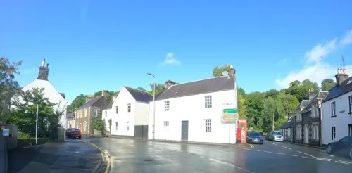
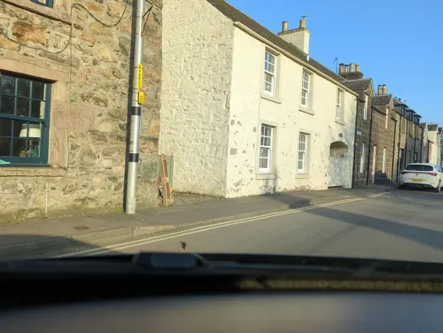
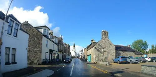
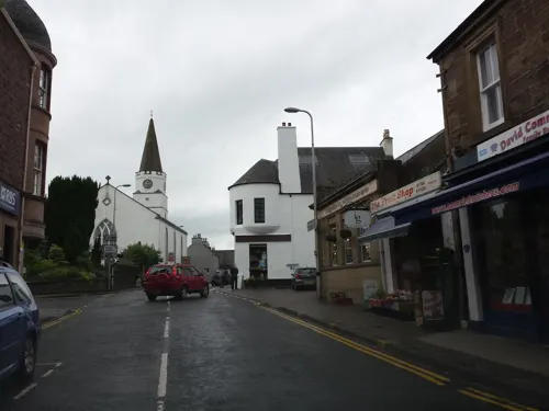
- Street-level photo, moohan, CC BY-SA 4.0
- Street-level photo, hobgoblin, CC BY-SA 4.0
- Street-level photo, hobgoblin, CC BY-SA 4.0
- Street-level photo, rudolfmayer, CC BY-SA 4.0
- Street-level photo, hobgoblin, CC BY-SA 4.0
- Street-level photo, hobgoblin, CC BY-SA 4.0
- Street-level photo, hobgoblin, CC BY-SA 4.0
- Street-level photo, hobgoblin, CC BY-SA 4.0
- Street-level photo, hobgoblin, CC BY-SA 4.0
- Street-level photo, hobgoblin, CC BY-SA 4.0
- Street-level photo, rudolfmayer, CC BY-SA 4.0
- Street-level photo, hobgoblin, CC BY-SA 4.0
- Street-level photo, hobgoblin, CC BY-SA 4.0
- Street-level photo, hobgoblin, CC BY-SA 4.0
- Street-level photo, hobgoblin, CC BY-SA 4.0
Page built November 10, 2026. Spotted a mistake? Tell us or suggest a place.