


New Milton, United Kingdom
New Milton is a town of 25,546 people in England, United Kingdom.
Why visit New Milton
Townapedia lists 6 museums and landmarks, 6 parks and trails, 55 places to eat, 16 places to stay and 3 attractions in and around town.
Highlights include Forest Arts Centre, Highcliffe Castle, Sammy Miller Museum and Hoburne Holiday Park Bashley.
Weather in New Milton
Forecast from MET Norway (CC BY 4.0). Full forecast
About New Milton
New Milton is a market town and civil parish in the New Forest district, in southwest Hampshire, England. To the north is in the New Forest and to the south the coast at Barton on Sea. The town is equidistant between Lymington and Christchurch, 6 miles (9.7 km) away.
From the Wikipedia article New Milton (this version), under CC BY-SA 4.0.
Things to do3


Danestream Farm Shop
Farm and orchard · 1.4 mi
Mo-Fr 09:00-17:00; Sa 08:30-16:30; Su off
Museums and landmarks6

Highcliffe Castle
Museum · 2.5 mi
Grade I listed historic house museum in Highcliffe and Walkford, Bournemouth, Christchurch and Poole, Dorset, England, UK

Sammy Miller Motorcycle Museum
Museum · 0.7 mi
Motorcycle museum in New Milton, Hampshire

Parks, trails and playgrounds6


Restaurants and cafes55
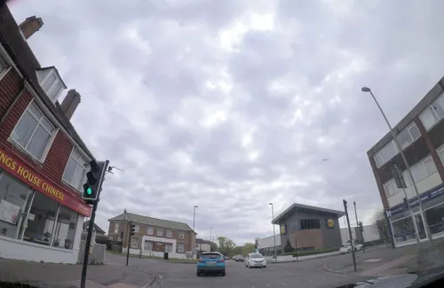
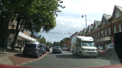
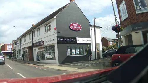
Bombay Night
Restaurant · Indian · 0.5 mi
15-21 Old Milton Road, New Milton
12noon - 2.30pm and 6.00pm to 11.30pm
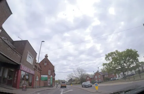
The Raj
Restaurant · Indian, Bangladeshi · 0.6 mi
1 Old Milton Green, New Milton
Mo-Su 11:45-14:25,17:00-23:30
The Wheatsheaf
Bar and pub · 0.6 mi
Christchurch Road, New Milton
Mo-Th 11:30-23:00; Fr 11:30-23:30; Sa-Su 11:30-23:00

The Hourglass Micropub
Bar and pub · 0.4 mi
8 Station Road, New Milton
Mo 17:00-23:00, Tu-Sa 12:00-23:00, Su 12:00-22:00

Bijou Coffee House
Cafe · Coffee Shop · 1.4 mi
Marine Drive, New Milton
Mo-Sa 10:00-16:00, Su 10:00-15:00
Wellingtons
Bar and pub · 0.4 mi
2-4 Osborne Road, New Milton
Mo-Th 11:00-23:00, Fr,Sa 11:00-24:00, Sa 12:00-10:30
43 more on the map.
History
The manor of ("Mildeltune") is listed in the Domesday Book of 1086 and literally means "Middle farm." It was part of the lands belonging to Hugh de Port, and the estate was held from him by William Chernet. The Chernet family maintained possession of Milton into the 13th century, although lesser families were managing the estate on their behalf. The most important of these were the Chaucombe (or Chalcombe) family, who were probably the first people to build a church in Milton in the mid 13th century. In 1303, Thomas de Chaucombe was given permission to hold a weekly market on Tuesdays at Milton, as well as an annual fair on the feast day of Mary Magdalene, but this attempt to create a market town seems to have failed.
Read more of the history
From 1365 to 1565, the manor was in the possession of the Tyrrell family. The manor passed through various hands in subsequent centuries. The last significant owners were the Bursey family in the 19th century, and in the 1890s the remaining lands of the estate were subdivided and sold. In close proximity to Milton was the manor of Fernhill. In the Domesday book, it was held by Nigel from Roger de Montgomerie, 1st Earl of Shrewsbury. In the 15th century, John Fromond, the owner of this scattered estate, willed the lands to Winchester College, in whose hands the estate remained down to the 19th century. Another estate called "Gore" appeared by the 15th century, and still survives (partially) as a farm to the west of the town.
The traditional village centre of Milton was just south of the church. Up to the 1960s, moated earthworks were still visible next to the road known as Moat Lane. Excavations of these earthworks in 1956 revealed a series of peasant enclosures and hut remains dating from the 9th to the 12th century, but no evidence of a manorial farmstead was found. The parish church of Milton is dedicated to Mary Magdalene and consists of a chancel with vestry, a nave and a western tower. The medieval church was pulled down and replaced around 1830, although the tower is of an earlier 17th century date. In 1835, a Church of England National School was founded on an island of land near the village green, where children were taught until just after World War I. In 1881, the population of the entire Milton parish was only 1489 people, and Milton was still a small village. The location of the village on the main Christchurch to Lymington road (now the A337) meant that there were two coaching inns - The Wheatsheaf and The George - the former of which is still operating.
In March 1888 New Milton railway station opened, and it is still in operation today. A new town developed, which expanded rapidly with the coming of the railway and the name New Milton was used for the first time and can originally be traced back to the Post Office that stood opposite the railway station. In 1895, the owner of the Post Office, Emma Newhook, commissioned a sign, which read - "New Milton Sub Post Office" to differentiate it from the post office in Old Milton. This was officially accepted in 1896, and so the name New Milton caught on. Much of the local farmland has been developed, first in the 1960s for commuter housing and again in the 1970s for small industrial/trade units. There is a mix of housing from cottages on the outskirts to more modern, urban housing in the central area. Milton village subsequently became known as Old Milton (renamed on Ordnance Survey maps by 1970) and lies between New Milton and Barton on Sea.
There are few notable architectural points of interest in the local area. However, a distinctive row of Coast Guard Cottages is to be found in Barton Lane, Barton on Sea; these were built at the end of the nineteenth century by the Government of the day to house armed guards to try to stop the smuggling that was rife at the time. The Barton on Sea-to-Mudeford coastline was renowned for smuggling with many of the offshore seaways and routes to shore being named after well known local smuggling families. It was in this context that Frederick Marryat, author of The Children of the New Forest, was sent on patrol here as a young naval lieutenant in 1821, to watch over traffic from the sheltered Christchurch Bay area. Britain's first reinforced concrete bridge was built in 1901 just outside New Milton at Chewton. There was an earlier experiment in building with this material in its unreinforced form at Sway (Sway Tower). Also built in 1900 was the Tudor style water tower, in Osborne Road. It has a staircase, a turret, slit windows and battlements. It is an orange-red colour, from locally cut and finished bricks.
The Roman Catholic church of Our Lady of Lourdes was completed in 1927 and expanded in 1951.
On 23 August 1940, 8 August 1942 and 22 January 1943 bombing raids were carried out upon New Milton by the German Luftwaffe. The town's water tower was suggested as the target. During the Second World War, New Milton housed evacuees and was a transit station for soldiers going to the battlefields. It also had an army hospital which co-served unwell American airmen based at the nearby airfields at Lymington and Holmsley.
The Memorial Centre in Whitefield Road commemorates those who died in the raids, as well as townspeople who have died more recently. Bricks can be purchased for inscription and insertion into the wall of the Memorial Room, which stands to the left of the front door and contains mementos saved from the original building, which was destroyed by fire in the 1970s.
From the History section of New Milton on Wikipedia, under CC BY-SA 4.0.
Notable people from New Milton
 Andrew WallsBritish historian of missionsPhoto: Caorongjin, CC BY-SA 4.0
 Caroline WebbBritish author, economist and executive coachPhoto: Sevenshift, CC BY-SA 4.0
 Neil MossEnglish footballer (born 1975)Photo: Timmy96, CC0
 George RandellAustralian politicianPhoto: Unknown author Unknown author, Public domain
- Marion Coakesequestrian
- Guy D'Oyly-HughesRoyal Navy officer
- Winifred Margaret DeansTranslator of German scientific texts (1901-1990)
- Charlotte TaylorEnglish cricketer
Born in New Milton, according to Wikidata (CC0). Each name links to its Wikipedia article.
Where to stay16
Churches and places of worship9
Kingdom Hall Of Jehovah’s Witness
Church · Jehovahs Witness · 0.6 mi
1 Elm Avenue
Shopping16
Gas and EV charging1
Schools, colleges and libraries10
Healthcare7
Map of New Milton
129 places. The map loads OpenStreetMap tiles when you open it.
Getting there and nearby towns
Bournemouth Airport (BOH) is the nearest airport with scheduled flights listed in OpenStreetMap, 8 miles away.
- Ringwood 8 mi northwest, about 13 min by car
- Bournemouth 10 mi west, about 16 min by car
- Verwood 12 mi northwest, about 20 min by car
- Poole 14 mi west, about 23 min by car
- Wimborne Minster 14 mi west, about 23 min by car
- Southampton 15 mi northeast, about 25 min by car
- Swanage 16 mi southwest, about 26 min by car
- Romsey 18 mi northeast, about 28 min by car
- Ryde 22 mi east, about 36 min by car
- Portsmouth 25 mi east, about 41 min by car
Drive times are estimates from straight-line distance, not routes.
Towns near New Milton


Keep exploring
Local news
Headlines from INDB.
Reviews, tips and questions
Loading what members have shared...
Sources and licences
- GeoNames (CC BY 4.0): population, coordinates, regions and time zone
- Mapillary (see each image): photos
- OpenStreetMap contributors (ODbL 1.0): places, airports, map data
- Wikidata (CC0 1.0): elevation, founding date, time zone, website, landmarks and historic places
- Wikimedia Commons (see each image): photos
- Wikipedia (CC BY-SA 4.0): overview and history text
Photo credits
- Station Road, New Milton, Singinglemon, CC0
- Arnewood School New Milton - September 2023, Pasicles, CC0
- Highcliffe Castle 1, Dave Pape, Public domain
- Ballard School, Amyupperdog, CC BY-SA 4.0
- Ashley Infant School, 22 June 2025, Pasicles, CC0
- New Milton Infant School, 18 May 2025, Pasicles, CC0
- New Milton Junior School, 18 May 2025, Pasicles, CC0
- Ashley Junior School, Pasicles, CC0
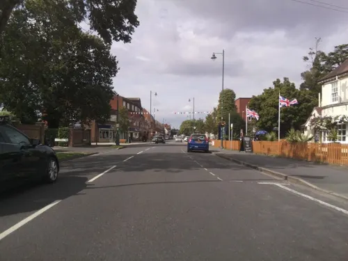
- Street-level photo, southglos, CC BY-SA 4.0
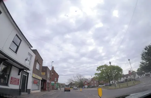
- Street-level photo, southglos, CC BY-SA 4.0
- Street-level photo, southglos, CC BY-SA 4.0
- Street-level photo, southglos, CC BY-SA 4.0
- Street-level photo, 4004, CC BY-SA 4.0
- Street-level photo, 4004, CC BY-SA 4.0
- Street-level photo, 4004, CC BY-SA 4.0
- Street-level photo, 4004, CC BY-SA 4.0
- Street-level photo, southglos, CC BY-SA 4.0
- Street-level photo, southglos, CC BY-SA 4.0
- Street-level photo, southglos, CC BY-SA 4.0
- Street-level photo, southglos, CC BY-SA 4.0
- Street-level photo, southglos, CC BY-SA 4.0
- Street-level photo, 4004, CC BY-SA 4.0
- Street-level photo, southglos, CC BY-SA 4.0


Page built November 10, 2026. Spotted a mistake? Tell us or suggest a place.