


Lymington, United Kingdom
Lymington is a town of 14,858 people in England, United Kingdom.
Why visit Lymington
Townapedia lists 7 museums and landmarks, 21 parks and trails, 68 places to eat, 13 places to stay and 3 attractions in and around town.
Highlights include Stephen Lees Gallery, St Barbe Museum and Art Gallery, Lymington River Reedbeds SSSI and Boldre Foreshore.
Weather in Lymington
Forecast from MET Norway (CC BY 4.0). Full forecast
About Lymington
Lymington is a port town on the west bank of the Lymington River on the Solent, in the New Forest district of Hampshire, England.
From the Wikipedia article Lymington (this version), under CC BY-SA 4.0.
Travel tips from other travellers: Lymington on Wikivoyage (CC BY-SA 4.0).
Photos of Lymington

Things to do3



Museums and landmarks7
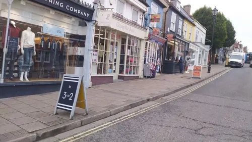

St Barbe Museum and Art Gallery
Museum
Museum in Lymington, United Kingdom


Buckland Rings
Monument and historic site · 1.0 mi
Hillfort in Hampshire, England, UK
The Old Toll House
Monument and historic site · 0.8 mi
169 Southampton Road, Lymington
Parks, trails and playgrounds21


Lymington River Reedbeds SSSI
Hiking and trails · 0.8 mi
Undershore, Lymington
24/7

Boldre Foreshore
Park · 1.9 mi
Nature reserve in Lymington, Hampshire, UK
Lymington and Keyhaven Marshes Nature Reserve
Park · 1.9 mi
Hampshire coastal nature reserve



9 more on the map.
Restaurants and cafes68

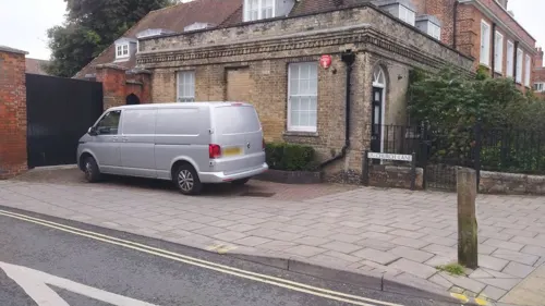
The Six Bells
Bar and pub
47-48 Saint Thomas Street, Lymington
Mo-Th 08:00-23:00; Fr,Sa 08:00-24:00, Su 08:00-23:00
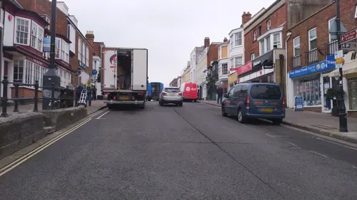
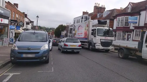
Brisa
Restaurant · Spanish, Tapas
113 High Street, Lymington
Mo-Fr 11:00-23:00; Sa 10:00-23:00; Su 11:00-21:00
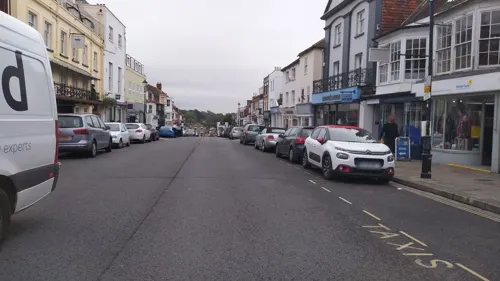
Caffè Nero
Cafe · Coffee Shop
29 High Street, Lymington
Mo-Fr 07:00-18:00; Sa 07:00-17:00; Su 08:00-17:00
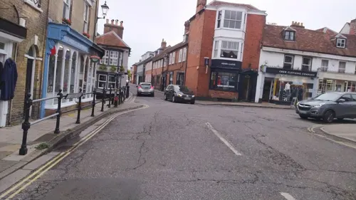
Eat Pizza
Restaurant · Pizza
9 Gosport Street, Lymington
Su-Fr 12:00-14:30,17:00-22:00; Sa 12:00-22:00
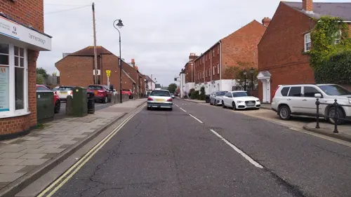
Lal Quilla
Restaurant · Indian
135,136 High Street, Lymington
Su-Th 17:30-23:00; Fr 17:30-00:00; Sa 17:30-00:00
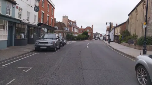

Coffee Mongers
Cafe · Coffee Shop · 0.9 mi
13 Ampress Lane, Lymington
Mo-Fr 08:30-16:00, Sa 09:00-14:00

Rivaaz
Restaurant · Indian · 0.4 mi
7 Saint Thomas Street, Lymington
Su-Th 17:00-22:30; Fr,Sa 17:00-23:30
56 more on the map.
History
The earliest settlement in the Lymington area was around the Iron Age hill fort known today as Buckland Rings. The hill and ditches of the fort survive, and archaeological excavation of part of the walls was carried out in 1935. The fort has been dated to around the 6th century BC. There is another supposed Iron Age site at nearby Ampress Hole. However, evidence of later settlement there (as opposed to occupation) is sparse before Domesday (1086).
Lymington itself began as an Anglo-Saxon village. The Jutes arrived in the area from the Isle of Wight in the 6th century and founded a settlement called Limentun. The Old English word tun means a farm or hamlet whilst limen is derived from the Ancient British word *lemanos meaning an elm tree.
The town is recorded in Domesday as Lentune. About 1200, the lord of the manor, William de Redvers created the borough of New Lymington around the present quay and High Street, while Old Lymington comprised the rest of the parish. He gave the town its first charter and the right to hold a market. The town became a parliamentary borough in 1585, returning two MPs until 1832, when its electoral base was expanded. Its representation was reduced to one member under the Reform Act 1867, and it was subsumed into the New Forest Division under the Redistribution of Seats Act 1885.
Read more of the history
Lymington was famous for salt-making from the Middle Ages up to the 19th century. There was an almost continuous belt of salt workings along the coast toward Hurst Spit.
In the 18th and early 19th centuries, Lymington possessed a military depot that included a number of foreign troops – mostly artillery but also several militia regiments. At the time of the Napoleonic Wars, the King's German Artillery was based near Portchester Castle and sent sick soldiers to Lymington or Eling Hospital. As well as Germans and Dutch, there were French émigrés and French regiments. They were raised to take part in the ill-fated Quiberon Invasion of France, from which few returned (contrast the Battle of Quiberon Bay, or Bataille des Cardinaux, a 1759 victory).
From the early 19th century, Lymington had a thriving shipbuilding industry, particularly associated with Thomas Inman, builder of the schooner Alarm, which famously raced the American yacht America in the 1851 America's Cup. Much of the town centre is Victorian and Georgian, with narrow cobbled streets in the area of the quay. In 1859 the Roman Catholic church of Our Lady of Mercy and Saint Joseph was built to a design by Joseph Hansom.
Lymington particularly promotes stories about its smuggling. There are unproven stories of smugglers' tunnels running from the old inns and under the High Street to the town quay.
Lymington was among the boroughs reformed by the Municipal Corporations Act 1835. In 1932 it was extended to include Milton (previously an urban district), the parishes of Milford on Sea and Pennington, and parts of Lymington Rural District, so extending it along the coast to the edge of Christchurch.
The borough of Lymington was abolished on 1 April 1974 under the terms of the Local Government Act 1972, becoming an unparished area in the district of New Forest, with charter trustees. The area was subsequently divided into the four parishes of New Milton, Lymington and Pennington, Milford-on-Sea and Hordle on 1 April 1979. A new library was added in 2002.
From the History section of Lymington on Wikipedia, under CC BY-SA 4.0.
Notable people from Lymington
 BirdyBritish singerPhoto: Harald Krichel, CC BY-SA 3.0
 Robbie KayBritish actorPhoto: Heroes & Villains, CC BY-SA 2.0
 AdamskiEnglish record producerPhoto: Nana Klimek, CC BY-SA 3.0
 George Elgar HicksEnglish painter (1824-1914)Photo: George Elgar Hicks, Public domain
 Hector Hurstracecar driverPhoto: Chris501, CC BY 3.0
 Robert SamberBritish writer and translator who translated Charles Perrault's Little Red Riding Hood into English in 1729Photo: Charles Perrault (author), Public domain
- Thomas BlakistonBritish zoologist (1832–1891)
- Nick Rogerssailing competitor from Great Britain
- Tony DellAustralian cricketer
- Richard Lyons, 1st Viscount LyonsBritish diplomat (1817-1887)
- Henry CallawayMissionary, Bishop of St. John's (1817–1890)
- Alexander CowieEnglish cricketer (1889-1916)
Born in Lymington, according to Wikidata (CC0). Each name links to its Wikipedia article.
Where to stay13
Churches and places of worship8
St Thomas the Apostle
Church · Anglican
Saint Thomas Street, Lymington
Kingdom Hall of Jehovah's Witnesses
Church · Jehovahs Witness
Marsh Lane, Lymington
Shopping29
Gas and EV charging3
Schools, colleges and libraries8
Our Lady and St Joseph Catholic Primary School
School · Roman Catholic · 1.4 mi
83A Ramley Road, Lymington
Healthcare2
Map of Lymington
162 places. The map loads OpenStreetMap tiles when you open it.
Getting there and nearby towns
Bournemouth Airport (BOH) is the nearest airport with scheduled flights listed in OpenStreetMap, 14 miles away.
- New Milton 6 mi west, about 9 min by car
- Southampton 12 mi northeast, about 19 min by car
- Newport 12 mi east, about 19 min by car
- Ringwood 12 mi northwest, about 20 min by car
- Bournemouth 15 mi west, about 24 min by car
- Romsey 16 mi north, about 26 min by car
- Ryde 17 mi east, about 27 min by car
- Verwood 17 mi northwest, about 27 min by car
- Portsmouth 20 mi east, about 32 min by car
- Poole 20 mi west, about 32 min by car
Drive times are estimates from straight-line distance, not routes.
Towns near Lymington


Keep exploring
Local news
Headlines from INDB.
Reviews, tips and questions
Loading what members have shared...
Sources and licences
- GeoNames (CC BY 4.0): population, coordinates, regions and time zone
- Mapillary (see each image): photos
- OpenStreetMap contributors (ODbL 1.0): places, airports, map data
- Wikidata (CC0 1.0): elevation, founding date, time zone, website, landmarks and historic places
- Wikimedia Commons (see each image): photos
- Wikipedia (CC BY-SA 4.0): overview and history text
Photo credits
- Lymington Harbour, Charlesdrakew ( talk ), Public domain
- Lymington old hight street - panoramio, cowbridgeguide.co.uk, CC BY 3.0
- Lymington High St. Market Day. - panoramio, grumpylumixuser, CC BY 3.0
- Lymington. - panoramio, Robert Powell, CC BY-SA 3.0
- Lymington MMB 05 Quay Road, mattbuck ( category ), CC BY-SA 3.0
- Hillyar & Son and Oriana - Gosport Street, Lymington (9203805694), Elliott Brown from Birmingham, United Kingdom, CC BY 2.0
- Lymington Parish Church, Dave Pape, Public domain
- Chequers Inn, Lower Woodside. - panoramio, Robert Powell, CC BY-SA 3.0
- St Barbe Museum and Art Gallery, StBarbe2022, CC BY-SA 4.0
- HY08EZB 150411 CPS (5643025819), Chris Sampson, CC BY 2.0
- St. Barbe Museum & Art Gallery - School Lane, Lymington (9188152788), Elliott Brown from Birmingham, United Kingdom, CC BY 2.0
- Drinking Fountain in Bath Road Recreation Ground, RichardPRussell, CC BY-SA 4.0
- Street-level photo, noid, CC BY-SA 4.0
- Street-level photo, noid, CC BY-SA 4.0
- Street-level photo, noid, CC BY-SA 4.0
- Street-level photo, noid, CC BY-SA 4.0
- Street-level photo, noid, CC BY-SA 4.0
- Street-level photo, noid, CC BY-SA 4.0
- Street-level photo, noid, CC BY-SA 4.0
- Street-level photo, noid, CC BY-SA 4.0
- Street-level photo, noid, CC BY-SA 4.0
- Street-level photo, noid, CC BY-SA 4.0
- Street-level photo, noid, CC BY-SA 4.0
- Street-level photo, noid, CC BY-SA 4.0
- Street-level photo, noid, CC BY-SA 4.0
- Street-level photo, noid, CC BY-SA 4.0
- Street-level photo, noid, CC BY-SA 4.0
- Street-level photo, noid, CC BY-SA 4.0
- Street-level photo, noid, CC BY-SA 4.0
- Street-level photo, noid, CC BY-SA 4.0
- Street-level photo, southglos, CC BY-SA 4.0
- Street-level photo, southglos, CC BY-SA 4.0
- Street-level photo, southglos, CC BY-SA 4.0

Page built November 10, 2026. Spotted a mistake? Tell us or suggest a place.