

Credenhill, United Kingdom
Credenhill is a town of 2,271 people in England, United Kingdom.
Why visit Credenhill
Townapedia lists 6 museums and landmarks, 3 parks and trails and 2 places to eat in and around town.
Highlights include Magnis, Magnae Dobunnorum, The Weir and Burghill Valley Golf Club.
Weather in Credenhill
Forecast from MET Norway (CC BY 4.0). Full forecast
About Credenhill
Credenhill is a village and civil parish in Herefordshire, England. The population of this civil parish taken at the 2011 Census was 2,271.
From the Wikipedia article Credenhill (this version), under CC BY-SA 4.0.
Museums and landmarks6
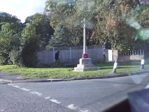

Magnae Dobunnorum
Monument and historic site · 0.5 mi
Romano-British town and archaeological site
Parks, trails and playgrounds3



Restaurants and cafes2


Churches and places of worship7
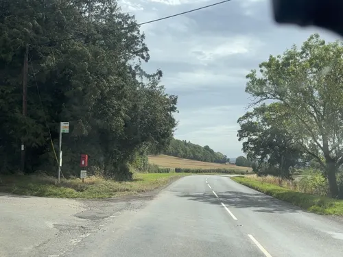
St Mary the Virgin's Church, Yazor
Church · 3.3 mi
Grade II listed church in Yazor, Herefordshire, England,UK

Church of St Mary Magdalene, Stretton Sugwas
Church · 1.0 mi
Church in Herefordshire, England, UK
St Mary's Church, Wormsley
Church · 3.2 mi
Church in Brinsop and Wormsley, Herefordshire, England,UK
History
Credenhill village has had military connections since 80 BC, when Iron Age Celts constructed a hill fort and earthwork defence system commanding the surrounding area. The Romans founded the town of Magnis at what is now Kenchester, which was later abandoned during the withdrawal of Roman armies from Britain. In 428 AD Magnis was destroyed by a fire during raids by the Picts and Scots. The remains of the old fort was occupied by the Saxons in 480 AD. The Saxon chief Creoda occupied the fort in 540 AD, and "Creoda's Hill" gave its name to Credenhill.
During the First World War, land in Credenhill was occupied by an army unit to store ammunition. In 1939 the land was requisitioned for defence and became RAF Hereford.
From the History section of Credenhill on Wikipedia, under CC BY-SA 4.0.
Schools, colleges and libraries2
Map of Credenhill
20 places. The map loads OpenStreetMap tiles when you open it.
Getting there and nearby towns
Gloucestershire Airport (GLO) is the nearest airport with scheduled flights listed in OpenStreetMap, 30 miles away.
- Hereford 4 mi southeast, about 7 min by car
- Lugwardine 6 mi east, about 10 min by car
- Leominster 10 mi north, about 16 min by car
- Ewyas Harold 10 mi south, about 16 min by car
- Ross on Wye 15 mi southeast, about 25 min by car
- Monmouth 19 mi south, about 31 min by car
- Ruardean 19 mi southeast, about 31 min by car
- Abergavenny 20 mi southwest, about 33 min by car
- Ludlow 20 mi north, about 33 min by car
- Great Malvern 21 mi east, about 33 min by car
Drive times are estimates from straight-line distance, not routes.
Towns near Credenhill


Keep exploring
Local news
Headlines from INDB.
Reviews, tips and questions
Loading what members have shared...
Sources and licences
- GeoNames (CC BY 4.0): population, coordinates, regions and time zone
- Mapillary (see each image): photos
- OpenStreetMap contributors (ODbL 1.0): places, airports, map data
- Wikidata (CC0 1.0): elevation, founding date, time zone, website, landmarks and historic places
- Wikimedia Commons (see each image): photos
- Wikipedia (CC BY-SA 4.0): overview and history text
Photo credits
- Weir Garden Hereford Feb 2019, Pebbleduck, CC BY-SA 4.0
- Street-level photo, swinetown, CC BY-SA 4.0
- Street-level photo, southglos, CC BY-SA 4.0
Page built November 10, 2026. Spotted a mistake? Tell us or suggest a place.