


Why visit Crick
Townapedia lists 9 museums and landmarks, 7 parks and trails, 15 places to eat, 4 places to stay and 5 attractions in and around town.
Highlights include Dow Bridge, Pulpit Bridge, Watford Park and Stanford Hall, Leicestershire.
Weather in Crick
Forecast from MET Norway (CC BY 4.0). Full forecast
About Crick
Crick is a village in the West Northamptonshire unitary authority area of Northamptonshire, England. It is close to the border with Warwickshire, 6 miles (10 km) east of Rugby and 14 miles (23 km) northwest of Northampton. The villages of Crick and West Haddon were by-passed by the A428 main road from Rugby to Northampton when the Daventry International Rail Freight Terminal (DIRFT) was built in 1996. The terminal is a short distance east of junction 18 of the M1 motorway, which is next to Crick.
From the Wikipedia article Crick, Northamptonshire (this version), under CC BY-SA 4.0.
Things to do5

Dow Bridge
Bridge · 4.4 mi
Bridge in Newton and Biggin, Rugby, Warwickshire, England, UK

Pulpit Bridge, Watford Park
Bridge · 1.9 mi
1877 railway bridge in Northamptonshire, England


Museums and landmarks9

Stanford Hall, Leicestershire
Museum · 4.2 mi
Grade I listed historic house museum near Lutterworth, United Kingdom

Parks, trails and playgrounds7



Restaurants and cafes15
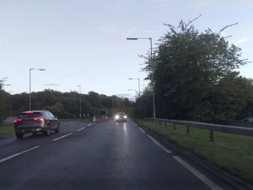
The George
Bar and pub · 1.8 mi
11 Watling Street, Rugby
Mo-Th 12:00-22:00; Fr-Sa 12:00-23:00; Su 12:00-21:00
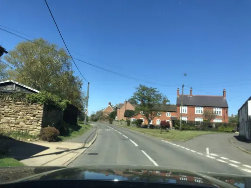



3 more on the map.
History
Crick takes its name from the Brittonic Celtic word for "hill", "cruc". There are many similar examples across Wales, for example Crughywel, Crug Mawr and Crickadarn. Crack's Hill (grid reference SP595736) is about one mile (1.5 km) northeast of the village, next to the canal, and gives good views of Crick, Yelvertoft, West Haddon and Rugby from the top. Kilsby and Crick railway station was located 1+1⁄2 mi (2.5 km) west of the village between 1881 and 1960.
From the History section of Crick, Northamptonshire on Wikipedia, under CC BY-SA 4.0.
Notable people from Crick
- Harry AdamsWelsh footballer (1855-1910)
Born in Crick, according to Wikidata (CC0). Each name links to its Wikipedia article.
Where to stay4
Holiday Inn Rugby-Northampton M1, Jct.18
Motel and hotel · 0.5 mi
Rugby Road, Northampton
Churches and places of worship15
St Michael and All Angels Church
Church · Anglican · 2.4 mi
Church Lane, Northampton
Kilsby United Reformed Church
Church · United Reformed · 1.9 mi
Chapel Street, Rugby
St Peter & St Paul Church
Church · Anglican · 2.4 mi
Church Street, Northampton
Shopping1
Gas and EV charging1
Schools, colleges and libraries6
Map of Crick
63 places. The map loads OpenStreetMap tiles when you open it.
Getting there and nearby towns
Sywell Aerodrome (ORM) is the nearest airport with scheduled flights listed in OpenStreetMap, 15 miles away.
- Kilsby 2 mi southwest, about 3 min by car
- West Haddon 3 mi east, about 4 min by car
- Rugby 6 mi west, about 9 min by car
- Daventry 6 mi south, about 10 min by car
- Welford 6 mi northeast, about 9 min by car
- Spratton 8 mi east, about 13 min by car
- Husbands Bosworth 8 mi northeast, about 13 min by car
- Flore 8 mi southeast, about 14 min by car
- Harpole 10 mi southeast, about 15 min by car
- Northampton 13 mi southeast, about 20 min by car
Drive times are estimates from straight-line distance, not routes.
Towns near Crick


Keep exploring
Local news
Headlines from INDB.
Reviews, tips and questions
Loading what members have shared...
Sources and licences
- GeoNames (CC BY 4.0): population, coordinates, regions and time zone
- Mapillary (see each image): photos
- OpenStreetMap contributors (ODbL 1.0): places, airports, map data
- Wikidata (CC0 1.0): elevation, founding date, time zone, website, landmarks and historic places
- Wikimedia Commons (see each image): photos
- Wikipedia (CC BY-SA 4.0): overview and history text
Photo credits
- St Margaret of Antioch Church Crick, Peter_Glyn, CC BY-SA 4.0
- Dow Bridge (old drawing), W.H.G, Public domain
- Stanford Hall, Lutterworth, The original uploader was Asterion at English Wikipedia ., CC BY 2.5
- St Michael and All Angels Church, Church Lane, Winwick (NHLE Code 1229677) (March 2024) (8), User:Hassocks5489, CC0
- Street-level photo, southglos, CC BY-SA 4.0
- Street-level photo, adam2, CC BY-SA 4.0
- Street-level photo, adam2, CC BY-SA 4.0
- Street-level photo, southglos, CC BY-SA 4.0
- Street-level photo, adam2, CC BY-SA 4.0
- Street-level photo, adam2, CC BY-SA 4.0
- Street-level photo, laye, CC BY-SA 4.0
Page built November 10, 2026. Spotted a mistake? Tell us or suggest a place.