
Cross Hands, United Kingdom
Cross Hands is a town of 4,549 people in Wales, United Kingdom.
Why visit Cross Hands
Townapedia lists 1 museum or landmark, 4 parks and trails, 14 places to eat, 2 places to stay and 2 attractions in and around town.
Highlights include Cross Hands Public Hall & Cinema.
Weather in Cross Hands
Forecast from MET Norway (CC BY 4.0). Full forecast
About Cross Hands
Cross Hands is a village in Carmarthenshire, Wales, approximately 12 miles (19 kilometres) from Carmarthen.
From the Wikipedia article Cross Hands (this version), under CC BY-SA 4.0.
Travel tips from other travellers: Cross Hands on Wikivoyage (CC BY-SA 4.0).
Things to do2


Museums and landmarks1
Parks, trails and playgrounds4


Restaurants and cafes14




2 more on the map.
History
The village played an important role in the local coal industry, helping to house the many anthracite miners working in the nearby mines such as in Tumble. Norton & Co opened the Cross Hands Colliery in 1869. There were 859 employees at its peak in 1923. By 1962 the village's collieries had closed.
Cross Hands is notable for its public hall and cinema. It was built in 1926 by an unknown Italian architect from Swansea. Its elegant art deco style architecture lead to it gaining a Grade II* listed building status in 1999. After some renovations in the early 1990s, the hall still stands as a fully operational cinema run by a charity. The rear is now used as a hall for the elderly.
From the History section of Cross Hands on Wikipedia, under CC BY-SA 4.0.
Notable people from Cross Hands
- Ken JonesWelsh rugby union player, born 1941 (1941–2022)
Born in Cross Hands, according to Wikidata (CC0). Each name links to its Wikipedia article.
Where to stay2
Churches and places of worship8
Shopping6
Gas and EV charging4
Schools, colleges and libraries6
Healthcare1
Map of Cross Hands
48 places. The map loads OpenStreetMap tiles when you open it.
Getting there and nearby towns
Swansea Airport (SWS) is the nearest airport with scheduled flights listed in OpenStreetMap, 13 miles away.
- Ammanford 4 mi east, about 7 min by car
- Pontyberem 4 mi west, about 6 min by car
- Llandybie 4 mi northeast, about 6 min by car
- Glanamman 7 mi east, about 11 min by car
- Llanelli 8 mi southwest, about 13 min by car
- Llandeilo 8 mi northeast, about 12 min by car
- Gorseinon 9 mi south, about 14 min by car
- Carmarthen 10 mi northwest, about 17 min by car
- Kidwelly 10 mi southwest, about 16 min by car
- Clydach 11 mi southeast, about 18 min by car
Drive times are estimates from straight-line distance, not routes.
Towns near Cross Hands


Keep exploring
Local news
Headlines from INDB.
Reviews, tips and questions
Loading what members have shared...
Sources and licences
- GeoNames (CC BY 4.0): population, coordinates, regions and time zone
- Mapillary (see each image): photos
- OpenStreetMap contributors (ODbL 1.0): places, airports, map data
- Wikidata (CC0 1.0): elevation, founding date, time zone, website, landmarks and historic places
- Wikipedia (CC BY-SA 4.0): overview and history text
Photo credits
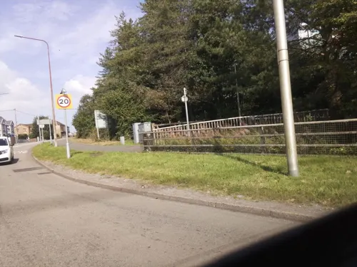
- Street-level photo, southglos, CC BY-SA 4.0
- Street-level photo, rac_uk2, CC BY-SA 4.0
- Street-level photo, southglos, CC BY-SA 4.0
- Street-level photo, southglos, CC BY-SA 4.0
- Street-level photo, laye, CC BY-SA 4.0
- Street-level photo, southglos, CC BY-SA 4.0
- Street-level photo, southglos, CC BY-SA 4.0
- Street-level photo, southglos, CC BY-SA 4.0
- Street-level photo, toho, CC BY-SA 4.0
- Street-level photo, southglos, CC BY-SA 4.0
Page built November 10, 2026. Spotted a mistake? Tell us or suggest a place.