


Ammanford, United Kingdom
Ammanford is a town of 23,709 people in Wales, United Kingdom.
Why visit Ammanford
Townapedia lists 1 museum or landmark, 4 parks and trails, 13 places to eat and 2 attractions in and around town.
Highlights include Ammanford Miners' Theatre and Gorsedd Stone Circle.
Weather in Ammanford
Forecast from MET Norway (CC BY 4.0). Full forecast
About Ammanford
Ammanford (Welsh: Rhydaman ) is a town and community in Carmarthenshire, Wales. At the 2021 census the community had a population of 5,445, and the wider built-up area had a population of 8,285.
From the Wikipedia article Ammanford (this version), under CC BY-SA 4.0.
Travel tips from other travellers: Ammanford on Wikivoyage (CC BY-SA 4.0).
Things to do2

Museums and landmarks1

Parks, trails and playgrounds4

Restaurants and cafes13
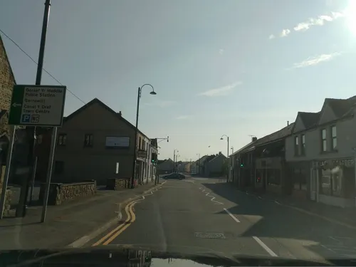
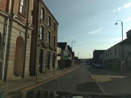
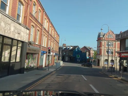
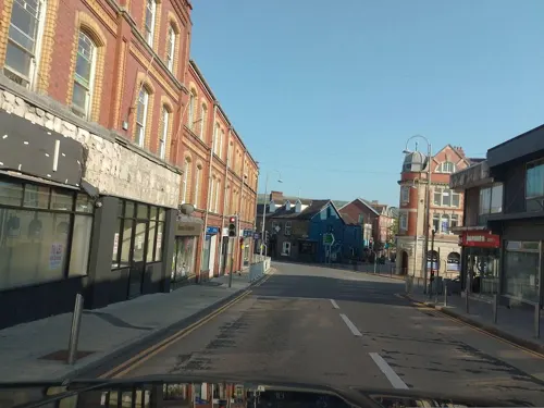
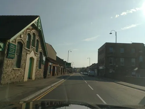



Great Western
Bar and pub · 0.4 mi
47 Station Road, Ammanford
Mo-We 12:00-22:30; Th 12:00-23:00; Fr 12:00-00:30; Sa 11:00-00:30;...

1 more on the map.
History
The town of Ammanford is a relatively modern settlement. It was originally known as Cross Inn, named after an inn that was located at a location where a number of roads converged. During the nineteenth century, as a result of the growth of both the tinplate and anthracite coal trades, a village grew around the Cross Inn (which later became known as Ammanford Square).
As the settlement expanded, prominent residents came to the view that its name should be changed since there were a number of other places named Cross Inn in Carmarthenshire alone. In 1880, a number of public meetings were held, and in November 1880 it was resolved that the name Ammanford (i.e. "Ford of the River Amman") adopted. The meeting was chaired by Watcyn Wyn. It took several years for the new name to be widely adopted, but the decision of the Great Western Railway to change the name of the Cross Inn station to Ammanford in June 1883 was welcomed by residents and tradesmen.
Ammanford hosted the National Eisteddfod of Wales in 1922 and 1970.
In 1925 the Ammanford Anthracite Strike took place, where anthracite miners took control of the town by force and violence for 10 days. 200 Glamorgan police were ambushed by strikers at Pontamman Bridge during the 'Battle of Ammanford'.
Read more of the history
On 24 April 2024, Ysgol Dyffryn Aman, the local comprehensive school, was the site of a stabbing incident in which two teachers and a student were injured. A teenage girl was arrested.
From the History section of Ammanford on Wikipedia, under CC BY-SA 4.0.
Notable people from Ammanford
 John Rhys-DaviesWelsh actorPhoto: NASA Headquarters / NASA/Aubrey Gemignani, Public domain
 Rick SmithWelsh musician, founding member of UnderworldPhoto: Mark Harrison, CC BY-SA 4.0
- Alexandra RoachWelsh actress
- Alex JonesWelsh television presenter
- Donald PeersBritish singer (1908-1973)
- Rae Jenkinsorchestral conductor
- Gareth Jewellactor
- Sara GregoryBritish actress
- Terry BoyleWelsh footballer (born 1958)
- Lucy Packerengland international rugby union player
- Roger ThomasBritish politician (1925-1994)
- Owain Wyn EvansBritish journalist and broadcaster
Born in Ammanford, according to Wikidata (CC0). Each name links to its Wikipedia article.
Churches and places of worship13
Shopping2
Gas and EV charging3
Schools, colleges and libraries8
Healthcare1
Map of Ammanford
47 places. The map loads OpenStreetMap tiles when you open it.
Getting there and nearby towns
Swansea Airport (SWS) is the nearest airport with scheduled flights listed in OpenStreetMap, 14 miles away.
- Clydach 8 mi southeast, about 14 min by car
- Gorseinon 9 mi south, about 14 min by car
- Ystalyfera 9 mi east, about 15 min by car
- Llanelli 11 mi southwest, about 17 min by car
- Swansea 12 mi south, about 19 min by car
- Neath 12 mi southeast, about 19 min by car
- Briton Ferry 13 mi southeast, about 21 min by car
- Carmarthen 14 mi west, about 23 min by car
- Maesteg 19 mi southeast, about 31 min by car
- Rhondda 25 mi east, about 40 min by car
Drive times are estimates from straight-line distance, not routes.
Towns near Ammanford


Keep exploring
Local news
Headlines from INDB.
Reviews, tips and questions
Loading what members have shared...
Sources and licences
- GeoNames (CC BY 4.0): population, coordinates, regions and time zone
- Mapillary (see each image): photos
- OpenStreetMap contributors (ODbL 1.0): places, airports, map data
- Wikidata (CC0 1.0): elevation, founding date, time zone, website, landmarks and historic places
- Wikimedia Commons (see each image): photos
- Wikipedia (CC BY-SA 4.0): overview and history text
Photo credits
- Ammanford, Quay Street, Nigel Davies, CC BY-SA 2.0
- Ysgol Dyffryn Aman, Crowaled, CC BY-SA 4.0
- Gellimanwydd Welsh Independent Chapel, GeraintTudur2, CC BY-SA 3.0
- Street-level photo, laye, CC BY-SA 4.0
- Street-level photo, laye, CC BY-SA 4.0
- Street-level photo, laye, CC BY-SA 4.0
- Street-level photo, laye, CC BY-SA 4.0
- Street-level photo, laye, CC BY-SA 4.0
- Street-level photo, laye, CC BY-SA 4.0
- Street-level photo, laye, CC BY-SA 4.0
- Street-level photo, laye, CC BY-SA 4.0
- Street-level photo, laye, CC BY-SA 4.0
- Street-level photo, laye, CC BY-SA 4.0
- Street-level photo, laye, CC BY-SA 4.0
- Street-level photo, laye, CC BY-SA 4.0
Page built November 10, 2026. Spotted a mistake? Tell us or suggest a place.