
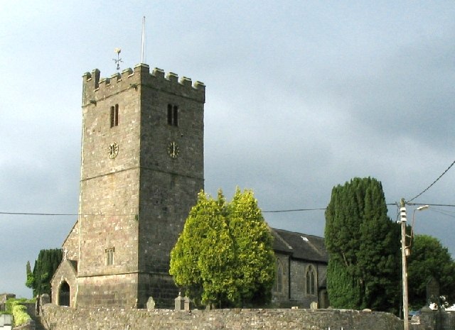


Why visit Llandybie
Townapedia lists 3 museums and landmarks, 14 parks and trails, 30 places to eat, 1 place to stay and 8 attractions in and around town.
Highlights include Llandeilo Bridge, Ammanford Miners' Theatre, Dryslwyn Castle and Lime Kilns.
Weather in Llandybie
Forecast from MET Norway (CC BY 4.0). Full forecast
About Llandybie
Llandybie (Welsh: Llandybïe [ˌɬandəˈbiːɛ] , "Saint Tybie's church") is a village and community in Carmarthenshire, Wales, with the village being situated 2 miles (3.2 km) north of Ammanford.
From the Wikipedia article Llandybie (this version), under CC BY-SA 4.0.
Things to do8



Museums and landmarks3

Dryslwyn Castle
Monument and historic site · 5.0 mi
Castle in Carmarthenshire, Wales


Parks, trails and playgrounds14

Gelli Aur country park
Park · 3.0 mi
Country park in Carmarthenshire, Wales



2 more on the map.
Restaurants and cafes30
Lemongrass
Cafe · Coffee Shop, Thai · 1.6 mi
Th 11:30-14:30,16:00-20:30; Fr-Sa 11:30-14:30,16:00-21:00

Badgers Steak House and Grill
Restaurant · Steak House · 1.3 mi
137 Penygroes Road, Blaenau
Th-Sa 09:00-14:00,18:00-23:00; Su 12:00-15:00



Great Western
Bar and pub · 1.7 mi
47 Station Road, Ammanford
Mo-We 12:00-22:30; Th 12:00-23:00; Fr 12:00-00:30; Sa 11:00-00:30;...
Gelli Aur Cafe
Cafe · 3.0 mi
Café beverages snacks toilet and deer observation point. I'm informed it's open all year but closes early Christmas .
Mo-Su 09:00-17:00
18 more on the map.
Notable people from Llandybie
- Elmer Gethin ReesWelsh Mathematician (1941–2019)
- William Nathaniel JonesBritish politician (1858-1934)
- Jenny OgwenWelsh actress and presenter (born 1944)
- Caroline Catharine WilkinsonWelsh botanist and writer (1822-1881)
- John Thomas JobWelsh bard (1867–1938)
Born in Llandybie, according to Wikidata (CC0). Each name links to its Wikipedia article.
Where to stay1
Churches and places of worship30
Shopping4
Gas and EV charging5
Schools, colleges and libraries14
Healthcare1
Map of Llandybie
110 places. The map loads OpenStreetMap tiles when you open it.
Getting there and nearby towns
Swansea Airport (SWS) is the nearest airport with scheduled flights listed in OpenStreetMap, 15 miles away.
- Ammanford 2 mi southeast, about 3 min by car
- Pontyberem 8 mi southwest, about 12 min by car
- Ystalyfera 10 mi east, about 17 min by car
- Gorseinon 11 mi south, about 17 min by car
- Clydach 11 mi southeast, about 17 min by car
- Llanelli 12 mi southwest, about 19 min by car
- Carmarthen 13 mi west, about 21 min by car
- Swansea 14 mi south, about 23 min by car
- Neath 14 mi southeast, about 22 min by car
- Briton Ferry 15 mi southeast, about 25 min by car
Drive times are estimates from straight-line distance, not routes.
Towns near Llandybie


Keep exploring
Local news
Headlines from INDB.
Reviews, tips and questions
Loading what members have shared...
Sources and licences
- GeoNames (CC BY 4.0): population, coordinates, regions and time zone
- Mapillary (see each image): photos
- OpenStreetMap contributors (ODbL 1.0): places, airports, map data
- Wikidata (CC0 1.0): elevation, founding date, time zone, website, landmarks and historic places
- Wikimedia Commons (see each image): photos
- Wikipedia (CC BY-SA 4.0): overview and history text
Photo credits
- Llandybie Church, Nigel Davies, CC BY-SA 2.0
- Llandybie National School 2, Ken Day, CC BY-SA 4.0
- Llandybie National School 1, Ken Day, CC BY-SA 4.0
- Llandybie 2 High Street with shop attached, Ken Day, CC BY-SA 4.0
- Llandybie Stone Spheres at Entrance to Tir y Plas, Ken Day, CC BY-SA 4.0
- Llandybie RH Stone Sphere at Entrance to Tir y Plas, Ken Day, CC BY-SA 4.0
- Landilo Bridge, South Wales, Unknown author, Public domain
- Dryslwyn Castle, closer look, Natasha de Vere & Col Ford, CC BY 2.0
- St Tyfi's Church, Dynevor 01, Dave.Dunford, CC BY-SA 4.0
- Ysgol Dyffryn Aman, Crowaled, CC BY-SA 4.0
- Gellimanwydd Welsh Independent Chapel, GeraintTudur2, CC BY-SA 3.0
- Llandybie Cilyrychan lime kilns, Ken Day, CC BY-SA 4.0
- St Michael's Church, Llanfihangel Aberbythych, Adrian Dust, CC BY-SA 2.0
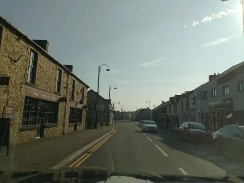
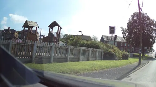
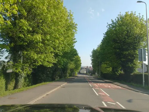
- Street-level photo, laye, CC BY-SA 4.0
- Street-level photo, laye, CC BY-SA 4.0
- Street-level photo, southglos, CC BY-SA 4.0
- Street-level photo, laye, CC BY-SA 4.0
- Street-level photo, laye, CC BY-SA 4.0
- Street-level photo, laye, CC BY-SA 4.0
- Street-level photo, laye, CC BY-SA 4.0
- Street-level photo, laye, CC BY-SA 4.0
- Street-level photo, laye, CC BY-SA 4.0
- Street-level photo, laye, CC BY-SA 4.0
- Street-level photo, laye, CC BY-SA 4.0
- Street-level photo, southglos, CC BY-SA 4.0
- Street-level photo, laye, CC BY-SA 4.0
- Street-level photo, laye, CC BY-SA 4.0


Page built November 10, 2026. Spotted a mistake? Tell us or suggest a place.