


Why visit Clydach
Townapedia lists 3 museums and landmarks, 11 parks and trails, 36 places to eat, 2 places to stay and 5 attractions in and around town.
Highlights include Pontardawe Arts Centre, Swing Bridge, River Neath, Scott's Pit Engine House and Sir Ludwig Mond.
Weather in Clydach
Forecast from MET Norway (CC BY 4.0). Full forecast
About Clydach
Clydach is a village and community in Swansea, Wales, within the Clydach ward and the Llangyfelach parish. It is located 6 miles (9.7 km) northeast of Swansea city centre. In 2011, the population was 7,503. Welsh is the first language of 24 per cent of the population and both Welsh and English language schools are available.
From the Wikipedia article Clydach, Swansea (this version), under CC BY-SA 4.0.
Things to do5

Pontardawe Arts Centre
Cinema and theater · 3.3 mi
Multi-purpose cultural venue in Pontardawe, Neath Port Talbot, Wales


Museums and landmarks3


Parks, trails and playgrounds11

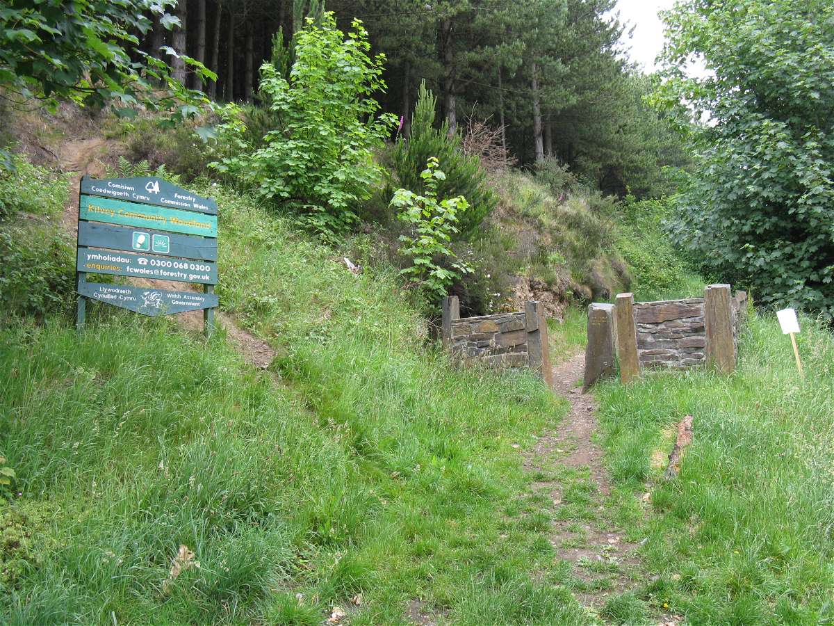
Kilvey Community Woodland
Park · 3.6 mi
Nature reserve in Swansea, Wales

Cwm Clydach RSPB Reserve
Park · 2.6 mi
RSPB nature reserve in the United Kingdom


Restaurants and cafes36
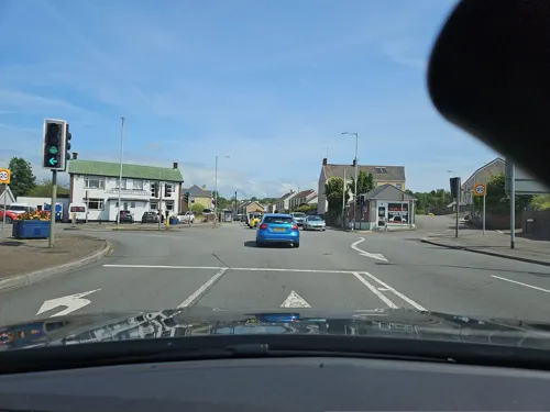

Fountain Inn
Bar and pub · 1.6 mi
12 Woodfield Street, Swansea
Mo-Su 10:00-23:00
The Copper Pot
Bar and pub · 1.5 mi
125 Samlet Road
Mo-Th 11:00-22:00; Fr-Su 10:00-23:00


The Red Lion Inn
Bar and pub · 1.4 mi
49 Sway Road, Swansea
Mo,Tu,We,Th,Su 08:00-24:00; Fr,Sa 08:00-25:00
24 more on the map.
History
In the 1800s, Clydach was a very small community if it could even be called that. Maps from then show Clydach to consist of sub-areas namely 'Mount Pleasant' (the area by high street shops), 'Faerdre' (covering the area nearest to Vardre Road), 'Down' the area that was once 'Down Farm' which is now land laying behind the Farmer's Arms, Clydach and below 'Ty gwyn Road'. There was also an area called Ty Gwyn as Ty Gwyn/White House was present on the land. The road leading to Ty Gwyn is now Ty Gwyn Road and also 'Coed Cae-Du' near Craig Cefn Parc.
The map of c. 1878 Clydach (which can be viewed at the Archive Service at Swansea Civic Centre) shows that number 1 St John's Road was originally the old 'St John's School for Girls, Boys and Infants', which was linked to St John's Church near the shops at Capel Buildings near the Mond. A second school is shown where the current building of Clydach Infants stands which is also for girls/boys and infants.
Read more of the history
On a map dated 1899 Clydach has grown substantially to have a larger community base with the school on Twyn-y-Bedw Road being expended upon and a second school being built just a little farther up the same street. The St John's School was by this point being used as a Sunday school and not for general education. There was a Clydach woollen factory not far from the schools on a road named 'Prince Llewellyn Street' or as it is now known 'Factory Road'. St Mary's Church is not on this map and is shown as a blank open space.
In 1918 the Sunday school is still showing on the map under the area name of Vardre close to Mount Pleasant and Graig Felin was known as Aber-Clydach. The top of Clydach near Lone Road and Bryn Mair was named Upper Forge not yet having its slang title of 'Sunny Bank' with the locals. Note: Sunny Bank does not appear by name on any maps seen to date (June 2012).
In the early 19th century, Clydach was a small village in the Swansea Valley. As the coal in the South Wales Valleys was a valuable commodity during the Industrial Revolution, Clydach experienced growth as a through road for transporting goods between Swansea and the many mines and heavy metal industries. The 16-mile (26 km) long Swansea Canal was built through the centre of Clydach between 1794 and 1798. It was constructed to transport up to 400,000 tonnes of coal a year from Ystalyfera to Swansea port. The canal remained profitable until 1902, when losses were first reported. This decline in revenue and profits was largely due to the competition from its rival the Swansea Vale Railway. The last commercial cargo carried on the Swansea Canal was in 1931 when coal was conveyed from Clydach to Swansea. Boats continued to operate on the canal after that date but only for maintenance work, with horse-drawn boats last recorded in Clydach in 1958. Only 5 miles (8.0 km) of the canal's original length of 16 miles (26 km) remain.
From the History section of Clydach, Swansea on Wikipedia, under CC BY-SA 4.0.
Notable people from Clydach
- Keith ToddScottish professional footballer (born 1941)
- Derek BevanWelsh rugby union referee
- Arthur FrancisWelsh cricketer
- Brian EvansBritish cricket player (1936-2011)
- William ThomasWelsh actor
- Richard ParkhouseEnglish cricketer (1910-1984)
- Mike LlewellynWelsh cricketer
- Alun Oldfield Daviesbroadcaster and public servant (1905-1988)
- Leo McAuliffemotorcycle racer
- David Christopher DaviesWelsh missionary and representative of the British Missionary Society (B.M.S.) in Wales
Born in Clydach, according to Wikidata (CC0). Each name links to its Wikipedia article.
Where to stay2
Churches and places of worship24
Shopping11
Gas and EV charging4
Schools, colleges and libraries20
Healthcare1
Map of Clydach
117 places. The map loads OpenStreetMap tiles when you open it.
Getting there and nearby towns
Swansea Airport (SWS) is the nearest airport with scheduled flights listed in OpenStreetMap, 9 miles away.
- Neath 4 mi east, about 7 min by car
- Swansea 5 mi southwest, about 8 min by car
- Gorseinon 6 mi west, about 10 min by car
- Ystalyfera 8 mi northeast, about 12 min by car
- Llanelli 11 mi west, about 18 min by car
- Maesteg 12 mi southeast, about 19 min by car
- Pyle 14 mi southeast, about 23 min by car
- Porthcawl 16 mi southeast, about 26 min by car
- Coity 19 mi southeast, about 30 min by car
- Rhondda 19 mi east, about 31 min by car
Drive times are estimates from straight-line distance, not routes.
Towns near Clydach


Keep exploring
Local news
Headlines from INDB.
Reviews, tips and questions
Loading what members have shared...
Sources and licences
- GeoNames (CC BY 4.0): population, coordinates, regions and time zone
- Mapillary (see each image): photos
- OpenStreetMap contributors (ODbL 1.0): places, airports, map data
- Wikidata (CC0 1.0): elevation, founding date, time zone, website, landmarks and historic places
- Wikimedia Commons (see each image): photos
- Wikipedia (CC BY-SA 4.0): overview and history text
Photo credits
- Ludwig Mond, Els Pam Pels, CC0
- Kilvey Community Woodland entrance, Nigel Davies, CC BY-SA 2.0
- Scott's Pit - 2018, Ismenethea, CC BY-SA 4.0
- Street-level photo, toho, CC BY-SA 4.0
- Street-level photo, matth81, CC BY-SA 4.0
Page built November 10, 2026. Spotted a mistake? Tell us or suggest a place.