
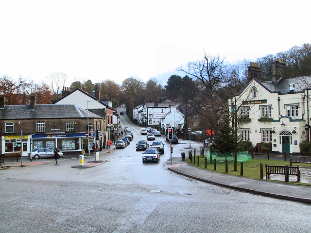


Why visit Disley
Townapedia lists 16 museums and landmarks, 13 parks and trails, 30 places to eat, 1 place to stay and 5 attractions in and around town.
Highlights include New Mills Art Theatre, Railway Bridge, Gate Piers to Lyme Park and Anson Engine Museum.
Weather in Disley
Forecast from MET Norway (CC BY 4.0). Full forecast
About Disley
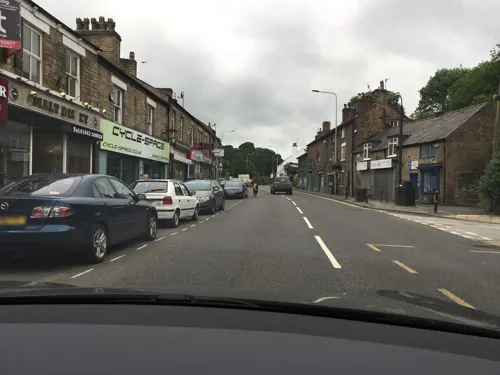
Disley is a village and civil parish in Cheshire, England, on the edge of the Peak District in the Goyt Valley, south of Stockport and close to the county boundary with Derbyshire at New Mills. The population at the 2011 Census was 4,294. To the north, the River Goyt and the Peak Forest Canal, which opened in 1800, pass along the edge of the village. Today, it is a commuter town, retaining a semi-rural character.
From the Wikipedia article Disley (this version), under CC BY-SA 4.0.
Photos of Disley


Things to do5


Railway Bridge
Bridge · 3.1 mi
Grade II listed railway bridge in Whaley Bridge, High Peak, Derbyshire, England, UK

Museums and landmarks16


Anson Engine Museum
Museum · 2.2 mi
Museum based in Poynton, England, United Kingdom

Mellor hill fort
Monument and historic site · 2.7 mi
Prehistoric site in North West England



4 more on the map.
Parks, trails and playgrounds13






1 more on the map.
Restaurants and cafes30
The White Horse Disley
Restaurant · British, American
18 Buxton Old Road, Stockport
Mo-Sa 12:00-22:30; Su 12:00-22:00
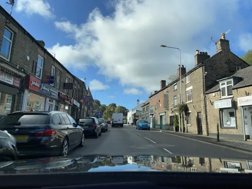
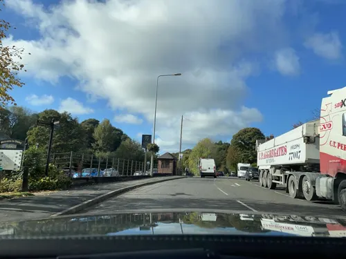
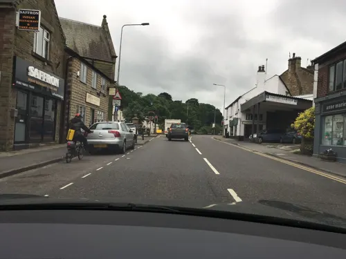
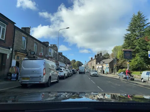
Matcha
Cafe · Coffee Shop
36 Market Street, Stockport
Mo-Sa 07:00-17:00; Su 09:00-16:00
Village Bakery
Bakery
30 Market Street, Stockport
Tu-Fr 08:00-15:00; Sa 08:30-14:00


Fizz
Restaurant · Mediterranean
7-9 Buxton Old Road, Stockport
Mo-Fr 17:00-22:00; Sa 12:00-22:00; Su 12:00-21:00

18 more on the map.
History
Its Anglo-Saxon name was Dystiglegh, meaning "wood or clearing by a mound" or possibly "windy settlement". In the 13th century, in the time of Edward I, there are references to confirmatory grants of land made to Jordan de Dystelegh of Disley Hall and Roger de Stanley-de-Dystelegh of Stanley Hall in the district, pointing to even older local settlements. It later had the name Dystelegh.
Disley was the home of several farmsteads, including one at Stanley, where the golf club is now located. The barn, erected sometime around the 15th or 16th-century, still stands.
Sir Piers Legh of Lyme founded St Mary's Church, completed in 1524 and consecrated as parish church in 1558. The earliest parish register is from 1591.
In 1724, the road from Manchester to Buxton became a turnpike road and in the early 1800s the road was rerouted from its original route along Jackson's Edge road to the current line of the A6.
At the time of the first census, Disley had a population of 995 residents. By 1881, this had increased to 3,312 and, as of 2019, the population is now in the region of 4,600.
The fountain in Fountain Square was donated by the Orfords in 1837 to provide the village with clean water, the stone coming from the Jacksons Edge Quarry. It was used until the 1920s.
Read more of the history
The village had at least one cotton mill by the mid-19th century. As the cotton industry declined, more varied employment became the norm. As of 2005, there is a paper mill and some light engineering works, but most people travel out to work.
From the History section of Disley on Wikipedia, under CC BY-SA 4.0.
More about Disley
Education
Disley has a primary school, Disley Primary School, which in 2020 became an academy as part of The TRUE Learning Partnership, and two nurseries, Blue Grass Purple Cow and Disley Under Fives.
From the Wikipedia article Disley, under CC BY-SA 4.0.
Notable people from Disley
- "Molly" Clutton BrockBrit expelled from Zimbabwe for not supporting apartheid 1912-2013
- Piers LeghEnglish soldier; (1389-1422)
- Thomas BrownEnglish surveyor, civil engineer, businessman and landowner
- Beatrice WebbEnglish medical practitioner
Born in Disley, according to Wikidata (CC0). Each name links to its Wikipedia article.
Where to stay1
Churches and places of worship11
Shopping3
Gas and EV charging2
Schools, colleges and libraries8
Healthcare2
Map of Disley
91 places. The map loads OpenStreetMap tiles when you open it.
Getting there and nearby towns
Manchester Airport (MAN) is the nearest airport with scheduled flights listed in OpenStreetMap, 10 miles away.
- New Mills 2 mi east, about 3 min by car
- Marple 3 mi north, about 4 min by car
- Poynton 3 mi west, about 5 min by car
- Hazel Grove 4 mi northwest, about 6 min by car
- Hayfield 4 mi east, about 7 min by car
- Chinley 4 mi east, about 7 min by car
- Bredbury 5 mi northwest, about 8 min by car
- Bramhall 5 mi west, about 8 min by car
- Adlington 5 mi southwest, about 8 min by car
- Stockport 6 mi northwest, about 10 min by car
Drive times are estimates from straight-line distance, not routes.
Towns near Disley


Keep exploring
Local news
Headlines from INDB.
Reviews, tips and questions
Loading what members have shared...
Sources and licences
- GeoNames (CC BY 4.0): population, coordinates, regions and time zone
- Mapillary (see each image): photos
- OpenStreetMap contributors (ODbL 1.0): places, airports, map data
- Wikidata (CC0 1.0): elevation, founding date, time zone, website, landmarks and historic places
- Wikimedia Commons (see each image): photos
- Wikipedia (CC BY-SA 4.0): overview and history text
Photo credits
- Disley in 2005, Roger May, CC BY-SA 2.0
- 17 Buxton Old Road, Disley, Dave.Dunford, CC BY-SA 4.0
- The Fountain, Disley, Dave.Dunford, CC BY-SA 4.0
- Fountain, Disley, Dave Dunford, CC BY-SA 2.0
- The Malt Cottage, Disley, Dave.Dunford, CC BY-SA 4.0
- Milestone adjacent to The Fountain, Disley, Dave.Dunford, CC BY-SA 4.0
- Nos 12, 14 and 16, Buxton Old Road, Disley, Dave.Dunford, CC BY-SA 4.0
- Moore's Buildings, Disley, Dave.Dunford, CC BY-SA 4.0
- White Horse Hotel, Disley, Dave.Dunford, CC BY-SA 4.0
- Anson engine museum 6246, Photograph by Clem Rutter, Rochester, Kent. ( www.clemrutter.net )., CC BY-SA 3.0
- Mellor (33824488192), Andrew Bowden from London, United Kingdon, CC BY-SA 2.0
- Lyme Park 2014 07, Photograph by Mike Peel ( www.mikepeel.net )., CC BY-SA 4.0
- All saints church, Marple, Greater Manchester, Zzztriple2000, CC BY 3.0
- St James' Church, Buxworth, Benjamin Shaw, CC BY-SA 4.0
- St Martin's Church, Brabyns Brow, Marple (NHLE Code 1241823) (March 2015) (1), User:Hassocks5489, CC0
- St Mary's Church, Disley, Keith Howard, CC BY-SA 2.0
- Fox Inn, Brook Bottom, Dave.Dunford, CC BY-SA 4.0
- St paul strines, Beep boop beep, CC BY-SA 4.0
- St Thomas' Church, High Lane, David Dixon, CC BY-SA 2.0
- Gate piers to Lyme Park in Red Lane, Disley, Dave.Dunford, CC BY-SA 4.0
- Former stables, Rams Head, Disley, Dave.Dunford, CC BY-SA 4.0
- The Cage Lyme park, Stephen G Taylor, CC BY-SA 2.0
- Meat safe, Lyme Park, Dave.Dunford, CC BY-SA 4.0
- The Orangery, Lyme Park, September 2013, Julie Anne Workman, CC BY-SA 3.0
- Iron Bridge, Brabyns Park, Neil Theasby, CC BY-SA 2.0
- Street-level photo, wasd42, CC BY-SA 4.0
- Street-level photo, julianlb, CC BY-SA 4.0
- Street-level photo, emerald-deepen-coherent, CC BY-SA 4.0
- Street-level photo, wasd42, CC BY-SA 4.0
- Street-level photo, wasd42, CC BY-SA 4.0
- Street-level photo, julianlb, CC BY-SA 4.0
- Street-level photo, wasd42, CC BY-SA 4.0
- Street-level photo, wasd42, CC BY-SA 4.0
- Street-level photo, wasd42, CC BY-SA 4.0
- Street-level photo, julianlb, CC BY-SA 4.0
- Street-level photo, wasd42, CC BY-SA 4.0
- Street-level photo, wasd42, CC BY-SA 4.0
- Street-level photo, julianlb, CC BY-SA 4.0
- Street-level photo, julianlb, CC BY-SA 4.0
- Street-level photo, julianlb, CC BY-SA 4.0
- Street-level photo, julianlb, CC BY-SA 4.0
- Street-level photo, wasd42, CC BY-SA 4.0
- Street-level photo, julianlb, CC BY-SA 4.0
- Street-level photo, julianlb, CC BY-SA 4.0
- Street-level photo, julianlb, CC BY-SA 4.0
- Street-level photo, julianlb, CC BY-SA 4.0


Page built November 10, 2026. Spotted a mistake? Tell us or suggest a place.