


Why visit Poynton
Townapedia lists 9 museums and landmarks, 13 parks and trails, 55 places to eat, 2 places to stay and 1 attraction in and around town.
Highlights include Anson Museum and Adlington Hall.
Weather in Poynton
Forecast from MET Norway (CC BY 4.0). Full forecast
About Poynton
Poynton is a town in the civil parish of Poynton-with-Worth, in the Cheshire East district and the ceremonial county of Cheshire, England; from 1974 to 2009 it was in Macclesfield district. It is located on the easternmost fringe of the Cheshire Plain, 11 miles (18 km) south-east of Manchester, 7 miles (11 km) north of Macclesfield and 5 miles (8 km) south of Stockport.
From the Wikipedia article Poynton (this version), under CC BY-SA 4.0.
Photos of Poynton

Things to do1

Museums and landmarks9


Adlington Hall
Museum · 2.3 mi
Country house in Cheshire, England, UK
Anson Engine Museum
Museum · 1.1 mi
Museum based in Poynton, England, United Kingdom


Bramall Hall
Museum · 2.6 mi
Tudor manor house in Bramhall, Stockport, Greater Manchester, England, UK

Lyme Park
Museum · 2.7 mi
Grade II* listed country estate and park in Cheshire East, United Kingdom

Brookside Miniature Railway
Monument and historic site · 1.0 mi
London Road North, Poynton
Th-Su 10:30-16:00; PH 10:30-16:00

Parks, trails and playgrounds13





1 more on the map.
Restaurants and cafes55
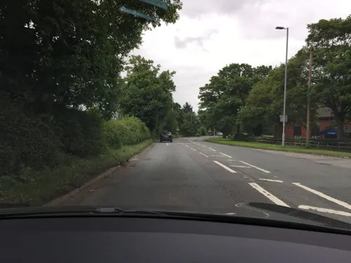
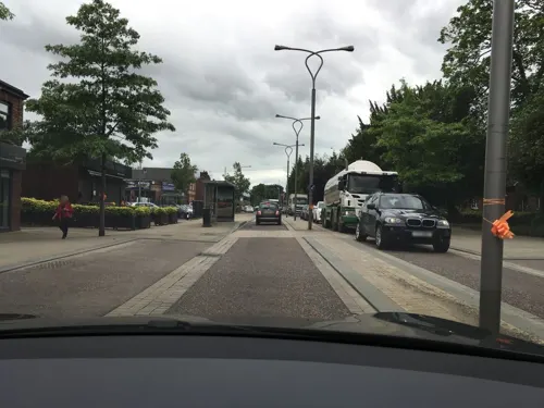
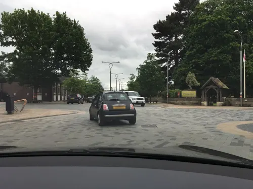
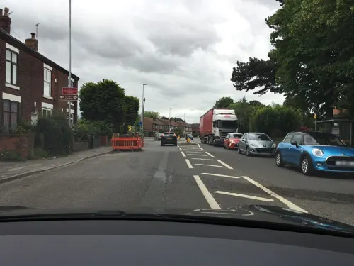



43 more on the map.
History
The name Poynton derives from the Old English pofaingtūn meaning 'settlement connected with Pofa'.
The settlement does not appear in the Domesday Book of 1086. The first mention of the manor of Poynton occurred in the 13th century when it was held under the Earl of Chester by the Poutrells family and then by the de Stockeports, lords of Stockport. It was part of the barony of Stockport. Past spellings include Ponynton and Poynington. The Warren family held the manor from 1382, beginning with Sir John de Warren, who was a son of Sir Edward de Warren and his wife Cicely de Eton of Poynton and Stockport. This family held the manor until 1801, when Sir George Warren, the last surviving male, died. He was succeeded by his daughter, Lady Warren Bulkeley. She died childless in 1826 when she left the estate to Frances Maria Warren (then Lady Vernon) daughter of Sir John Borlase Warren, 1st Baronet. The Lords Vernon held the estate until the final sale in 1920.
Read more of the history
Coal was found outcropping to the east of Towers Road, which corresponds to the line of the Red Rock Fault at the surface. The earliest record to be found is a lease dated 28 February 1589, which talks of the "Coal pit at Wourthe lately occupied by George Finche". This could be worked on the surface then by shallow shafts, and later by deeper shafts with waterwheels or steam engines operating pumps and winding gear. In the late 18th century, the Warrens of Poynton co-operated with the Leghs of Lyme to work the Cannel and Sheepwash seams at Norbury Hollow. Initially, the mines were pumped using waterwheels driven by the Norbury Brook; atmospheric steam engines were then used and then condensing engines thus allowing deeper pits to be sunk. Output in 1789 was over 23,586 tonnes (26,000 tons), rising to a production of 221,056 tonnes (243,673 tons) in 1859, an amount believed unlikely to have been surpassed. The Poynton Collieries were substantial, and the coal rights were held by the Warren family who leased them the Wrights and the Claytons. The canal, and new roads and railway lines, were used to remove the coal. In 1826, the estate passed to George John Venables Vernon, 4th Lord Vernon, who decided in 1832 to manage the mines himself. In 1856 it was estimated that there was a reserve of 15,163,027 tons, which would supply 245,000 tons for 61 years. This was to be supplied by the Park Round Pit and the Park Oval Pit, both working the Four Foot and Five Foot Seam, and the Anson Pit and the Nelson Pit, which were working the Accommodation Seam. The pits had good transport links to their principal markets, cotton mills around Manchester. With the Lancashire Cotton Famine in 1861, and the subsequent recession, the price of coal collapsed, and the output dropped 112,840 tons, leading to worker redundancies. A new shaft, the Lawrance Pit, was sunk at Park in 1885, raising the output to 216,362 tons and paying for itself within a year. However the costs were rising and the closure of the Norbury Pits resulted in a constant ingress of water. In 1926 production was down to 80,146 tons. The 1926 General strike lasted for 17 weeks in Poynton and the men went back to work as the collieries would have closed because of the cost of pumping. The collieries closed on 30 August 1935; 250 men were made redundant. Eighty were offered jobs in the Kent coalfield and some secured employment with Avro at Woodford. The Anson Colliery is now the site of the Anson Engine Museum; all other shafts have been capped and Park Pit has been levelled.
The Macclesfield Canal was originally proposed in 1765 but construction did not start until 1826 because of opposition from outside parties. The canal was designed by Thomas Telford and completed in 1831. Sir George Warren was a promoter of the extension of the turnpike road from Manchester by way of Hazel Grove to Sandon, Staffordshire, where it joined what is now the A51 road. The Manchester and Birmingham Railway opened a line through Poynton in 1845, which now forms part of the London–Manchester main line. The Macclesfield, Bollington and Marple Railway opened in 1869 with stations at Higher Poynton and Middlewood; it closed in 1970, and the line is now a footpath called the Middlewood Way.
In the late 18th century, the Pickford family developed their family business of waggoners on the London-to-Manchester route with The Birches Farm at Poynton as its headquarters. The business thrived and they relocated to London in 1823. Pickfords is today one of the best-known removal firms in the United Kingdom.
From the 1870s, private house-building gathered pace and gradually Poynton became a commuter town for workers in the Manchester conurbation. Since the Second World War, several housing estates have been built by both the local authorities and private developers.
The population has risen from 5,000 to almost 15,000 since 1945.
From the History section of Poynton on Wikipedia, under CC BY-SA 4.0.
More about Poynton
Geography
Poynton is located at SJ925835 53°20′53″N 2°06′50″W, between the Norbury Brook and the Poynton Brook at the easternmost limit of the Cheshire Plain. The land is between 88 metres (289 ft) and 190 metres (620 ft) above sea level. The town is approximately 17 kilometres (11 mi) SSE of Manchester, 8 kilometres (5.0 mi) from Manchester Airport, 15 kilometres (9.3 mi) from junction 5 of the M56 motorway and 10 kilometres (6.2 mi) from junction 3 of the M60 motorway. The west of the parish is predominantly residential, buffered from Hazel Grove and Bramhall by the North Cheshire Green Belt. To the south of the town are two business parks but here and to the east it is rural in nature, bounding on the former deer park of Lyme Hall. The A6 trunk road passes to the north of the parish, and the Macclesfield Canal runs north–south along the 155 metres (509 ft) contour to the east of the parish.
Arts and culture
Poynton Co-op was founded in 1862, staying independent until February 1992. There were many Friendly Societies, Burial Clubs, Workmen's Club and the Miners' Union. The Methodist Chapel was established in 1847 followed by the Baptists and Primitive Methodists chapels; together with St George's Church they were the social centres of the village. Lord Vernon opened the first school in 1838 which was extended as the number of children attending it grew, and this building is now used as the Poynton Youth and Community Centre.
The Poynton Show is held every August bank holiday weekend. It started in 1885, as an agricultural show, and has grown in size; 35,000 people visited the show in 1970. It offers a range of events in the main arena such as stunt riding and aerobatics, a fairground, exhibitions and competitive events.
Education
Education in Poynton is now run by Cheshire East Council; it was formerly run by Cheshire County Council. Given the proximity to the border, some parents choose to have their children educated in Stockport.
There are 5 primary schools and Poynton High School. After secondary school, young residents can attend Poynton High School's sixth form or colleges nearby such as Aquinas College, Marple College or Macclesfield College.
From the Wikipedia article Poynton, under CC BY-SA 4.0.
Notable people from Poynton
 Alan BeithBritish politician (born 1943)Photo: Roger Harris, CC BY 3.0
 Graham EvansBritish politician (born 1963)Photo: ©House of Lords / photography by Roger Harris, CC BY 3.0
- Laurie BellEnglish association football player (born 1992)
- James Meuniercricketer (1885-1957)
- Joyce ScottAustralian artist
- Howard StablefordBritish television presenter
- Reuben SinghBritish entrepreneur
Born in Poynton, according to Wikidata (CC0). Each name links to its Wikipedia article.
Where to stay2
Churches and places of worship9
St. Martin's Church
Church · Anglican · 1.3 mi
Shrigley Road North, Higher Poynton
Shopping7
Gas and EV charging1
Schools, colleges and libraries8
Healthcare5
Map of Poynton
110 places. The map loads OpenStreetMap tiles when you open it.
Getting there and nearby towns
Manchester Airport (MAN) is the nearest airport with scheduled flights listed in OpenStreetMap, 7 miles away.
- Stockport 4 mi north, about 7 min by car
- Wilmslow 5 mi west, about 8 min by car
- Manchester 10 mi northwest, about 17 min by car
- Stalybridge 10 mi north, about 15 min by car
- Timperley 10 mi west, about 15 min by car
- Salford 12 mi northwest, about 19 min by car
- Oldham 13 mi north, about 21 min by car
- Swinton 14 mi northwest, about 23 min by car
- Prestwich 14 mi northwest, about 23 min by car
- Saddleworth 14 mi north, about 23 min by car
Drive times are estimates from straight-line distance, not routes.
Towns near Poynton


Keep exploring
Local news
Headlines from INDB.
Reviews, tips and questions
Loading what members have shared...
Sources and licences
- GeoNames (CC BY 4.0): population, coordinates, regions and time zone
- Mapillary (see each image): photos
- OpenStreetMap contributors (ODbL 1.0): places, airports, map data
- Wikidata (CC0 1.0): elevation, founding date, time zone, website, landmarks and historic places
- Wikimedia Commons (see each image): photos
- Wikipedia (CC BY-SA 4.0): overview and history text
Photo credits
- Poynton Village (A523) 1, Rovernut, CC BY 2.0
- Poynton Library, Peter Broster, CC BY-SA 4.0
- Poynton with Worth - Bulkeley Road, Andrew Smith, CC BY-SA 2.0
- 44 And 46, London Road North, Poynton, Dave.Dunford, CC BY-SA 4.0
- 50, London Road North, Poynton, Dave.Dunford, CC BY-SA 4.0
- Poynton town centre, Jonathan Billinger, CC BY-SA 2.0
- Courtyard from the south-west, John Swallow, CC BY-SA 3.0
- Avro Heritage Museum Rear, Trevor Harris, CC BY-SA 2.0
- Bramall Hall from west, 2011, David Dixon, CC BY-SA 2.0
- Lyme Park 2014 07, Photograph by Mike Peel ( www.mikepeel.net )., CC BY-SA 4.0
- St Christopher's Church, Pott Shrigley, Geoff Pick, CC BY-SA 2.0
- St Mary's Church, Disley, Keith Howard, CC BY-SA 2.0
- Anson engine museum 6246, Photograph by Clem Rutter, Rochester, Kent. ( www.clemrutter.net )., CC BY-SA 3.0
- St George's Church, Poynton, David Dixon, CC BY-SA 2.0
- The Kingfisher 2, Peter Broster, CC BY-SA 4.0
- Street-level photo, julianlb, CC BY-SA 4.0
- Street-level photo, julianlb, CC BY-SA 4.0
- Street-level photo, julianlb, CC BY-SA 4.0
- Street-level photo, julianlb, CC BY-SA 4.0
- Street-level photo, julianlb, CC BY-SA 4.0
- Street-level photo, julianlb, CC BY-SA 4.0
- Street-level photo, julianlb, CC BY-SA 4.0
- Street-level photo, julianlb, CC BY-SA 4.0
- Street-level photo, julianlb, CC BY-SA 4.0
- Street-level photo, julianlb, CC BY-SA 4.0
- Street-level photo, julianlb, CC BY-SA 4.0
- Street-level photo, julianlb, CC BY-SA 4.0


Page built November 10, 2026. Spotted a mistake? Tell us or suggest a place.