


Why visit Marple
Townapedia lists 30 museums and landmarks, 50 parks and trails, 224 places to eat, 11 places to stay and 15 attractions in and around town.
Highlights include Garrick Theatre, Theatre Royal, Gate Piers to Lyme Park and Spring Bank Arts Centre.
Weather in Marple
Forecast from MET Norway (CC BY 4.0). Full forecast
About Marple
Marple is a town in the Metropolitan Borough of Stockport, Greater Manchester, England. It is on the River Goyt, 9 miles (14 km) south-east of Manchester, 9 miles (14 km) north of Macclesfield and 4 miles (6 km) south-east of Stockport. At the 2021 census, the built up area had a population of 12,970.
From the Wikipedia article Marple, Greater Manchester (this version), under CC BY-SA 4.0.
Travel tips from other travellers: Marple on Wikivoyage (CC BY-SA 4.0).
Photos of Marple


Things to do15

Garrick Theatre
Cinema and theater · 4.2 mi
Theatre in Stockport, England

Theatre Royal
Cinema and theater · 3.9 mi
Former theatre and cinema in Hyde, Greater Manchester, England, UK




3 more on the map.
Museums and landmarks30


Anson Engine Museum
Museum · 3.4 mi
Museum based in Poynton, England, United Kingdom

Bramall Hall
Museum · 4.5 mi
Tudor manor house in Bramhall, Stockport, Greater Manchester, England, UK

Hat Works
Museum · 4.2 mi
Museum and former cotton mill Greater Manchester, England

Lyme Park
Museum · 3.9 mi
Grade II* listed country estate and park in Cheshire East, United Kingdom

Mellor hill fort
Monument and historic site · 1.4 mi
Prehistoric site in North West England

Staircase House
Museum · 4.0 mi
Grade II* listed medieval building and museum in Stockport, England

Brookside Miniature Railway
Monument and historic site · 2.9 mi
London Road North, Poynton
Th-Su 10:30-16:00; PH 10:30-16:00
Abbot's Chair
Monument and historic site · 4.5 mi
Remains of former monastic cross in Derbyshire

Stockport Air Raid Shelters
Museum · 4.2 mi
Underground air-raid shelters dug under Stockport in England
Stockport Castle
Monument and historic site · 3.9 mi
Former motte-and-bailey castle in Stockport, Cheshire
18 more on the map.
Parks, trails and playgrounds50


Etherow Country Park
Park · 2.0 mi
Country park in Compstall, England





38 more on the map.
Restaurants and cafes224

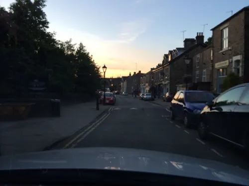
Maple Tree
Restaurant · Chinese · 0.6 mi
6 Town Street, Stockport
We-Th,Su 17:00-22:00; Fr-Sa 17:00-23:00
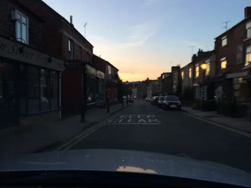
Libbys Bread & Wine
Cafe · Coffee Shop, Tapas, Wine · 0.6 mi
Café and bakery by day; wine bar with small plates in the evening.
1-3 Town Street, Stockport
Mo-We 08:00-16:00; Th-Sa 08:00-16:00,17:00+; Su 09:00-14:00
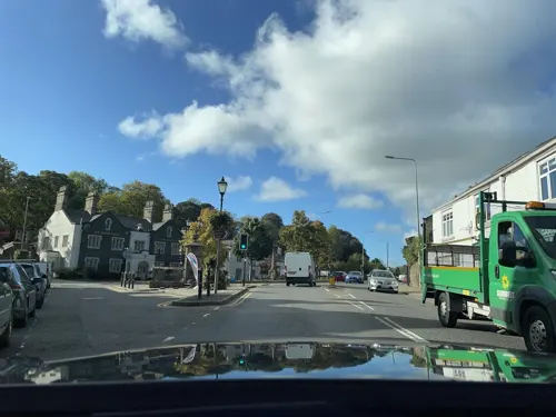
FOLD Bistro & Bottle Shop
Restaurant · British, Local · 0.6 mi
7 Town Street, Stockport
Th 12:00-22:00; Fr-Sa 09:00-23:00; Su 12:00-19:00
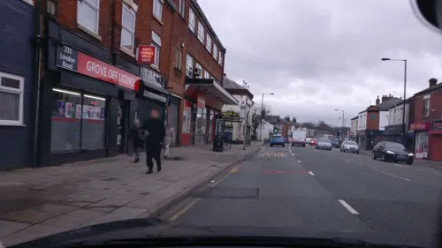
TAPTU
Restaurant · Mediterranean, Tapas · 2.6 mi
229 London Road
Su-Mo, We-Th 12:00-21:00; Fr-Sa 12:00-22:00
The White Horse Disley
Restaurant · British, American · 2.7 mi
18 Buxton Old Road, Stockport
Mo-Sa 12:00-22:30; Su 12:00-22:00

Fizz
Restaurant · Mediterranean · 2.7 mi
7-9 Buxton Old Road, Stockport
Mo-Fr 17:00-22:00; Sa 12:00-22:00; Su 12:00-21:00

212 more on the map.
History
The first reference to Marple in written history was to Merpel, believed to be derived from the Old English maere pill, meaning 'the stream at the boundary'.
Scientists estimate that the earliest residents of the area settled several millennia ago. There are clues to their existence around the Ludworth area where there are standing stones and tumuli. This was confirmed around 1998 when an archaeological dig in Mellor revealed many clues about the existence of Marple's earliest residents.
The area was predominantly within the Macclesfield Forest, and was omitted from the Domesday Book survey. The first mention of the area was in 1122 in a deed for the sale of land. In 1220 the land passed to the Vernon family where it remained for several generations.
The pre–Industrial Revolution inhabitants of the village mostly worked on small farms and others specialised in linen weaving and hatting. After 1790, Samuel Oldknow transformed much of this lifestyle, with the construction of lime kilns and mills as part of the Industrial Revolution. The population of the village began to rise, with the construction of terraces to house mill workers and the formation of a village centre filled with private businesses.
Read more of the history
Samuel Oldknow also played a large role in the development of the town in addition to his mills; there is still a street named Oldknow Road in Marple today. He built workers' cottages and churches, introduced aspen trees to the area, and assisted in the constructions of the Macclesfield and Peak Forest Canals. Marple Aqueduct, which opened in 1800, carries the Peak Forest Canals over the River Goyt, was designed by Benjamin Outram, a pioneer in the building of canals and tramways. Seven men lost their lives during its construction. Samuel Oldknow died in 1828; his mill was destroyed by fire in 1892. These navigations accelerated Marple's growth, but eventually declined into disrepair when the railway arrived in 1865. They have since been restored for use by leisure narrowboats, now forming part of the Cheshire Ring.
In the early 1900s the town prospered from the success of cotton in nearby Stockport and Manchester; the canals in the area served as a link with other industrial towns. Marple grew as a residential suburb of Stockport after the arrival of frequent bus and rail services in the 1920s.
From the History section of Marple, Greater Manchester on Wikipedia, under CC BY-SA 4.0.
More about Marple
Geography
The area, close to Derbyshire, covers just over 11 square miles (28 km2) of countryside, ranging from heavily wooded valleys to hill-top moorland. It rises from around 262 feet (80 m) above sea level at the River Goyt to 1,073 feet (327 m) at Cobden Edge. On a clear day it is possible to view the Beetham Tower in Manchester as well as the city centre, the Winter Hill TV transmitter and the surrounding counties of Cheshire, Derbyshire, Lancashire and West Yorkshire and the mountains of North Wales from the top of these hills.
Arts and culture
Since 1932, Marple has had a cinema in a building designed in 1878 as a place of worship or refuge. The building was purchased in 1932 by the 'Marple Cinema Company' and became the Regent Cinema. It remains open as one of the few independent cinemas in the UK.
The town has two brass bands: the Marple Band and the Hawk Green (Marple) Band.
Marple is twinned with the town Motril in the province of Granada in Spain.
Local news and television programmes are provided by Salford-based BBC North West and ITV Granada. Television signals are received from the Winter Hill TV transmitter.
Local radio stations are BBC Radio Manchester, Heart North West, Smooth North West, Capital Manchester and Lancashire, Greatest Hits Radio Manchester & The North West and Your FM, a community-based station which broadcast from Stockport.
The town is served by the local newspaper the Manchester Evening News.
In 2008, Marple was used as the setting for the BBC drama Sunshine.
Marple featured in a 2010 BBC documentary on Dr Beeching which described the long-term effects of axing much of the UK railway network in the 1960s. The programme highlighted the transport issues and how getting a direct train from Marple to Stockport was now impossible and the road traffic made the journey one of the most difficult in the UK.
Education
Education in Marple is run by Stockport Metropolitan Borough Council.
There are two primary schools (Rose Hill Primary and All Saints' Primary) plus the secondary Marple Hall School, which occupies the site of the ancestral home of the Bradshaw-Isherwood family. Marple Sixth Form College (formerly Ridge Danyers College) offers courses to young people and adults. There is also an independent school and nursery, Brabyns Preparatory School.
From the Wikipedia article Marple, Greater Manchester, under CC BY-SA 4.0.
Notable people from Marple
- Oswald CarverBritish rower (1887–1915)
- Peter J. HammondBritish economist
- Mabel HardieBritish doctor
- G. Howell-Bakerillustrator and painter, died 1919 (1871–1919)
- Timmy MallettEnglish television and radio presenter, artist
- Donald TitteringtonBritish statistician
- Anne BannisterBritish psychotherapist
- William WashingtonEnglish painter and engraver (1885–1956)
- Joseph TotterdellAustralian politician (1885-1959)
Born in Marple, according to Wikidata (CC0). Each name links to its Wikipedia article.
Where to stay11
Churches and places of worship52
Shopping22
Gas and EV charging11
Schools, colleges and libraries53
Healthcare21
Map of Marple
250 places. The map loads OpenStreetMap tiles when you open it.
Getting there and nearby towns
Manchester Airport (MAN) is the nearest airport with scheduled flights listed in OpenStreetMap, 9 miles away.
- New Mills 3 mi southeast, about 5 min by car
- Stockport 4 mi west, about 7 min by car
- Poynton 4 mi southwest, about 6 min by car
- Stalybridge 6 mi north, about 10 min by car
- Wilmslow 8 mi southwest, about 13 min by car
- Manchester 9 mi northwest, about 15 min by car
- Oldham 10 mi north, about 17 min by car
- Salford 11 mi northwest, about 18 min by car
- Saddleworth 11 mi north, about 18 min by car
- Timperley 11 mi west, about 18 min by car
Drive times are estimates from straight-line distance, not routes.
Towns near Marple


Keep exploring
Local news
Headlines from INDB.
Reviews, tips and questions
Loading what members have shared...
Sources and licences
- GeoNames (CC BY 4.0): population, coordinates, regions and time zone
- Mapillary (see each image): photos
- OpenStreetMap contributors (ODbL 1.0): places, airports, map data
- Wikidata (CC0 1.0): elevation, founding date, time zone, website, landmarks and historic places
- Wikimedia Commons (see each image): photos
- Wikipedia (CC BY-SA 4.0): overview and history text
Photo credits
- Rose Hill Marple railway station 2007, Mike from Woodley, Cheshire, England, CC BY-SA 2.0
- Stockport Road, Marple 1911, Unknown author Unknown author, Public domain
- Garrick Theatre, Stockport (1), Rept0n1x, CC BY-SA 3.0
- Theatre Royal, Hyde, Izzak, CC BY-SA 3.0
- Anson engine museum 6246, Photograph by Clem Rutter, Rochester, Kent. ( www.clemrutter.net )., CC BY-SA 3.0
- Bramall Hall from west, 2011, David Dixon, CC BY-SA 2.0
- Hat Works, Zzztriple2000 at en.wikipedia, Public domain
- Lyme Park 2014 07, Photograph by Mike Peel ( www.mikepeel.net )., CC BY-SA 4.0
- Mellor (33824488192), Andrew Bowden from London, United Kingdon, CC BY-SA 2.0
- Staircasehouse, Polishname, Public domain
- Compstall - Etherow Country Park Café, Skinsmoke, CC BY-SA 3.0
- Romiley - Chadkirk Chapel, Skinsmoke, CC BY 3.0
- All saints church, Marple, Greater Manchester, Zzztriple2000, CC BY 3.0
- St Matthews church hayfield 021599 df40975f, Alan Fleming, CC BY-SA 2.0
- St. George's Church, Stockport 22 April 2009, This media: Zzztriple2000 ; Original work: Hubert Austin (31 March 1841 – 1915); Subject work of original work :, CC BY 3.0
- St George's Church, Poynton, David Dixon, CC BY-SA 2.0
- St Martin's Church, Brabyns Brow, Marple (NHLE Code 1241823) (March 2015) (1), User:Hassocks5489, CC0
- St James the Less, New Mills, Dave.Dunford, CC BY-SA 4.0
- St Chad's Church, Romiley. 2 May 2020, Stephen Kirkby, CC BY-SA 4.0
- Norfolk Arms and former National Westminster Bank, Marple Bridge, Braveheart, CC BY-SA 4.0
- Gate piers to Lyme Park in Red Lane, Disley, Dave.Dunford, CC BY-SA 4.0
- Stagecoach Manchester 22246 - X246ATD (7853502102), Firing up the quattro.... from Manchester, UK, CC BY 2.0
- Wall Rue Asplenium ruta-muraria (6165579933), Len Worthington, CC BY-SA 2.0
- Hyde cenotaph, Mike from Stockport, England, CC BY-SA 2.0
- Paradise, near Mellor Cross 04, Dave.Dunford, CC BY-SA 4.0
- Iron Bridge, Brabyns Park, Neil Theasby, CC BY-SA 2.0
- Street-level photo, julianlb, CC BY-SA 4.0
- Street-level photo, julianlb, CC BY-SA 4.0
- Street-level photo, julianlb, CC BY-SA 4.0
- Street-level photo, julianlb, CC BY-SA 4.0
- Street-level photo, julianlb, CC BY-SA 4.0
- Street-level photo, wasd42, CC BY-SA 4.0
- Street-level photo, emerald-deepen-coherent, CC BY-SA 4.0
- Street-level photo, wasd42, CC BY-SA 4.0
- Street-level photo, julianlb, CC BY-SA 4.0
- Street-level photo, julianlb, CC BY-SA 4.0
- Street-level photo, wasd42, CC BY-SA 4.0
- Street-level photo, wasd42, CC BY-SA 4.0
- Street-level photo, julianlb, CC BY-SA 4.0
- Street-level photo, cyclestreets, CC BY-SA 4.0
- Street-level photo, cyclestreets, CC BY-SA 4.0
- Street-level photo, julianlb, CC BY-SA 4.0
- Street-level photo, julianlb, CC BY-SA 4.0
- Street-level photo, julianlb, CC BY-SA 4.0
- Street-level photo, julianlb, CC BY-SA 4.0
- Street-level photo, wasd42, CC BY-SA 4.0
- Street-level photo, wasd42, CC BY-SA 4.0
- Street-level photo, julianlb, CC BY-SA 4.0
- Street-level photo, southglos, CC BY-SA 4.0


Page built November 10, 2026. Spotted a mistake? Tell us or suggest a place.