


Ditchingham, United Kingdom
Ditchingham is a town of 1,899 people in England, United Kingdom.
Why visit Ditchingham
Townapedia lists 10 museums and landmarks, 11 parks and trails, 27 places to eat, 3 places to stay and 2 attractions in and around town.
Highlights include The Fisher Theatre, Fen Farm Dairy, Mettingham Castle and Bungay Castle.
Weather in Ditchingham
Forecast from MET Norway (CC BY 4.0). Full forecast
About Ditchingham
Ditchingham is a village and civil parish in the English county of Norfolk.
From the Wikipedia article Ditchingham (this version), under CC BY-SA 4.0.
Photos of Ditchingham


Things to do2


Museums and landmarks10


Bungay Castle
Monument and historic site · 0.8 mi
Castle in Suffolk, England, UK

Norfolk and Suffolk Aviation Museum
Museum · 2.9 mi
Aviation museum in Suffolk, England, United Kingdom

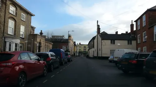

Bungay Priory
Monument and historic site · 0.9 mi
Benedictine priory in Suffolk, England

War Memorial
Monument and historic site · 1.4 mi
Squat square stind block with engraved sides.
Parks, trails and playgrounds11

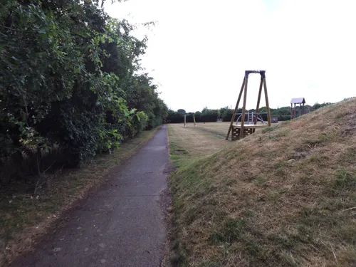



Restaurants and cafes27
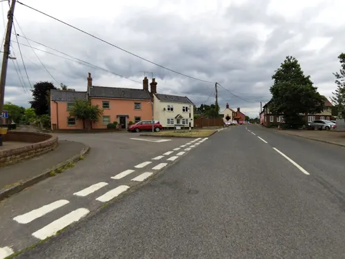
Queens Head
Bar and pub · 1.6 mi
The Street, Bungay
Mo-Su 12:00-23:00
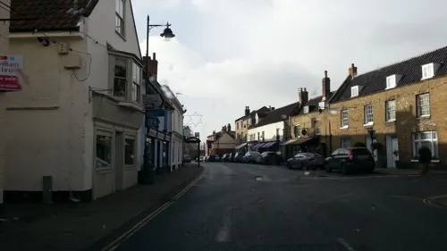


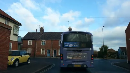
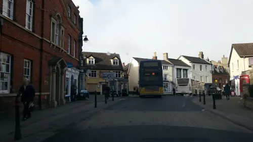
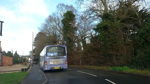
Smokey Joe's American Bar and Grill
Bar and pub
8 Norwich Road, Bungay



15 more on the map.
History
Ditchingham's name is of Anglo-Saxon origin and derives from the Old English for the homestead or settlement of 'Dicca's' people.
In the Domesday Book, Ditchingham is listed as a settlement of 36 households in the hundred of Lodding. In 1086, the village formed part of the East Anglian estates of King William I.
In 1855, an Anglican convent known as the Community of All Hallows was founded in Ditchingham by Lavinia Crosse and Reverend William E. Scudamore. The convent acted as a refuge for women in 'moral danger' and other destitute individuals. The community closed in 2018.
Lilias Rider Haggard's novel, The Rabbit Skin Cap (1939) tells the life story of George Baldry, a local inventor and poacher. The picture on the front cover of the book is a painting by Edward Seago of local schoolboy, Douglas Walter Gower. In later life, Gower discovered the tusk of a woolly mammoth near the long barrow on Broome Heath which is now displayed in Norwich Castle Museum.
Much of the surrounding countryside is part of the estate centred on Ditchingham Hall which was built in the 18th century and features gardens designed by Capability Brown. The Hall is the ancestral seat of the Earl Ferrers and is currently in the possession of Robert Shirley, 14th Earl Ferrers.
Read more of the history
In the Nineteenth Century, a silk factory was built in Ditchingham which was later converted into a maltings and later use as a depot for the US Army during the Second World War. The building was severely damaged by fire in 1999 and is now in residential use.
From the History section of Ditchingham on Wikipedia, under CC BY-SA 4.0.
More about Ditchingham
Geography
According to the 2021 census, Ditchingham has a total population of 1,823 people which demonstrates an increase from the 1,635 people listed in the 2011 census.
Ditchingham is located on the course of the River Waveney with the junction of the A143, between Gorleston-on-Sea and Haverhill, and the B1332, between Trowse and Ditchingham, is located in the parish.
From the Wikipedia article Ditchingham, under CC BY-SA 4.0.
Notable people from Ditchingham
- Jimmy Lewiscricketer (born 1967)
- Sir John Hobart, 3rd BaronetEnglish politician
- Kevin StegglesFootballer (born 1961)
- Deb MurrellBritish cyclist
Born in Ditchingham, according to Wikidata (CC0). Each name links to its Wikipedia article.
Where to stay3
Churches and places of worship14
Shopping10
Gas and EV charging1
Schools, colleges and libraries9
Healthcare1
Map of Ditchingham
88 places. The map loads OpenStreetMap tiles when you open it.
Getting there and nearby towns
Norwich Airport (NWI) is the nearest airport with scheduled flights listed in OpenStreetMap, 16 miles away.
- Beccles 5 mi east, about 8 min by car
- Brooke 6 mi northwest, about 10 min by car
- Thurlton 6 mi northeast, about 10 min by car
- Reedham 8 mi northeast, about 13 min by car
- Dickleburgh 12 mi southwest, about 19 min by car
- Norwich 13 mi northwest, about 20 min by car
- Lowestoft 13 mi east, about 21 min by car
- Bradwell 13 mi northeast, about 21 min by car
- Great Yarmouth 15 mi northeast, about 25 min by car
- Bowthorpe 15 mi northwest, about 24 min by car
Drive times are estimates from straight-line distance, not routes.
Towns near Ditchingham


Keep exploring
Local news
Headlines from INDB.
Reviews, tips and questions
Loading what members have shared...
Sources and licences
- GeoNames (CC BY 4.0): population, coordinates, regions and time zone
- Mapillary (see each image): photos
- OpenStreetMap contributors (ODbL 1.0): places, airports, map data
- Wikidata (CC0 1.0): elevation, founding date, time zone, website, landmarks and historic places
- Wikimedia Commons (see each image): photos
- Wikipedia (CC BY-SA 4.0): overview and history text
Photo credits
- Bungay Castle, 2012, Scott Anderson from UK, CC BY 2.0
- St Andrew's church Bedingham Norfolk (682473502), David from Colorado Springs, United States, CC BY 2.0
- 1216850 I CHURCH OF ST MARY, ST MARY'S STREET Bungay 20260524 0001, Tilman2007, CC BY-SA 4.0
- Bungay - Church of the Holy Trinity, Linda Bailey, CC BY-SA 2.0
- Mettingham-g4, Bernd Jatzwauk Pommes104, CC BY-SA 3.0
- 1234275 II CHEQUERS INN, 23, BRIDGE STREET Bungay 20260524 0001, Tilman2007, CC BY-SA 4.0
- 1234336 II 10, BROAD STREET Bungay 20260524 0001, Tilman2007, CC BY-SA 4.0
- 1234702 II 13, MARKET PLACE Bungay 20260524 0001, Tilman2007, CC BY-SA 4.0
- Bungay - Church of St Mary, Trish Steel, CC BY-SA 2.0
- Broome Heath 1, Dudley Miles, CC BY-SA 4.0
- Mettingham Castle aerial image - Suffolk UK b (14153128613), John Fielding from Norwich, UK, CC BY 2.0
- Norfolk ^ Suffolk Aviation Museum - panoramio, Tanya Dedyukhina, CC BY 3.0
- The Butter Cross plaque 21 Cross Street Bungay Suffolk NR35 1AP, Spudgun67, CC0
- Broome Heath 4, Dudley Miles, CC BY-SA 4.0
- Street-level photo, smsm1, CC BY-SA 4.0
- Street-level photo, adam2, CC BY-SA 4.0
- Street-level photo, adam2, CC BY-SA 4.0
- Street-level photo, adam2, CC BY-SA 4.0
- Street-level photo, adam2, CC BY-SA 4.0
- Street-level photo, adam2, CC BY-SA 4.0
- Street-level photo, adam2, CC BY-SA 4.0
- Street-level photo, adam2, CC BY-SA 4.0
- Street-level photo, adam2, CC BY-SA 4.0
- Street-level photo, smsm1, CC BY-SA 4.0
- Street-level photo, smsm1, CC BY-SA 4.0
- Street-level photo, adam2, CC BY-SA 4.0
- Street-level photo, adam2, CC BY-SA 4.0
- Street-level photo, adam2, CC BY-SA 4.0
- Street-level photo, smsm1, CC BY-SA 4.0
- Street-level photo, smsm1, CC BY-SA 4.0
- Street-level photo, smsm1, CC BY-SA 4.0
- Street-level photo, smsm1, CC BY-SA 4.0
- Street-level photo, adam2, CC BY-SA 4.0
Page built November 10, 2026. Spotted a mistake? Tell us or suggest a place.