


Easton on the Hill, United Kingdom
Easton on the Hill is a town of 1,015 people in England, United Kingdom.
Why visit Easton on the Hill
Townapedia lists 7 museums and landmarks, 2 parks and trails, 4 places to eat and 1 attraction in and around town.
Highlights include Corn Exchange, Stamford, Burghley House, Discover Stamford and Collyweston Quarries.
Weather in Easton on the Hill
Forecast from MET Norway (CC BY 4.0). Full forecast
About Easton on the Hill
Easton on the Hill is a village and civil parish at the extreme north eastern tip of North Northamptonshire, in the ceremonial county of Northamptonshire, England. The parish had a population at the 2011 census was 1,015. The village, sited on the A43 road, is compact in form, with the older part of the village located north of the High Street. The parish extends from the River Welland in the north to the western end of RAF Wittering.
From the Wikipedia article Easton on the Hill (this version), under CC BY-SA 4.0.
Things to do1

Corn Exchange, Stamford
Cinema and theater · 2.1 mi
Meeting hall, entertainment and commerce venue in Stamford, England
Museums and landmarks7

Burghley House
Museum · 2.4 mi
Grand sixteenth-century country house near Stamford, Lincolnshire, England, UK

Discover Stamford
Museum · 2.1 mi
Former local museum in Stamford, England, United Kingdom

Rutland Roman villa
Monument and historic site · 2.9 mi
Roman villa in Rutland, England
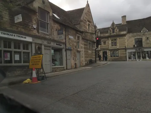
Stamford Town Hall
Museum · 2.0 mi
Building in Stamford, Lincolnshire, England, UK
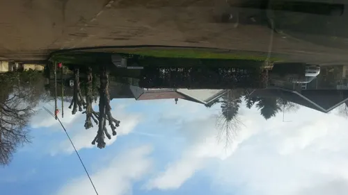
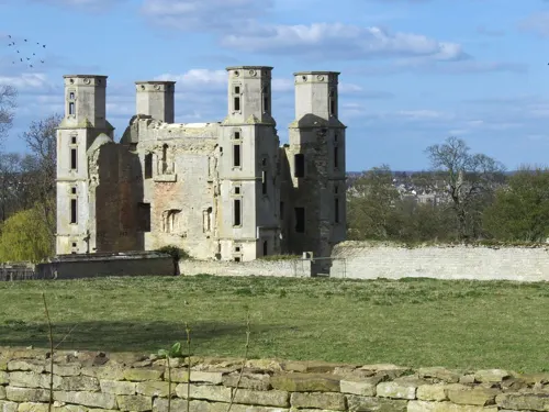

The Stamford Spa
Monument and historic site · 1.1 mi
Former source of mineralised water. Round stone basin with stone lid. A good history is "Stamford Spa" (2017). YouTube video, added by...
Parks, trails and playgrounds2

Collyweston Quarries
Park · 0.6 mi
Nature reserve in Northamptonshire, England, UK

Restaurants and cafes4
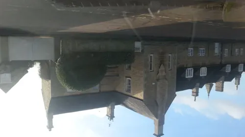
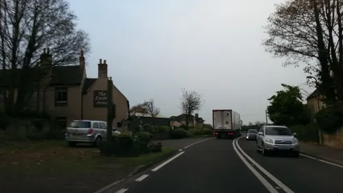
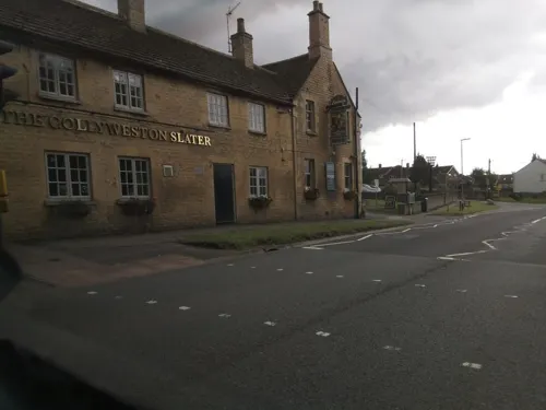

Churches and places of worship16
Schools, colleges and libraries1
Map of Easton on the Hill
31 places. The map loads OpenStreetMap tiles when you open it.
Getting there and nearby towns
Sywell Aerodrome (ORM) is the nearest airport with scheduled flights listed in OpenStreetMap, 25 miles away.
- Stamford 2 mi northeast, about 3 min by car
- Market Deeping 9 mi northeast, about 14 min by car
- Oakham 10 mi west, about 16 min by car
- Peterborough 11 mi east, about 18 min by car
- Bourne 11 mi northeast, about 18 min by car
- Corby 12 mi southwest, about 19 min by car
- Whittlesey 16 mi east, about 27 min by car
- Kettering 18 mi southwest, about 29 min by car
- Spalding 18 mi northeast, about 30 min by car
- Melton Mowbray 19 mi northwest, about 30 min by car
Drive times are estimates from straight-line distance, not routes.
Towns near Easton on the Hill


Keep exploring
Local news
Headlines from INDB.
Reviews, tips and questions
Loading what members have shared...
Sources and licences
- GeoNames (CC BY 4.0): population, coordinates, regions and time zone
- Mapillary (see each image): photos
- OpenStreetMap contributors (ODbL 1.0): places, airports, map data
- Wikidata (CC0 1.0): elevation, founding date, time zone, website, landmarks and historic places
- Wikimedia Commons (see each image): photos
- Wikipedia (CC BY-SA 4.0): overview and history text
Photo credits
- Front of Burghley House 2009, Anthony Masi from UK, CC BY 2.0
- Stamford Museum by Bob Harvey, Bob Harvey, CC BY-SA 2.0
- Collyweston Quarries 7, Dudley Miles, CC BY-SA 4.0
- Catholic church of St Mary and St Augustine, Matt Brown, CC BY 2.0
- St George's Church, Stamford, southern aspect, Paul Harrop, CC BY-SA 2.0
- 1360419 Church of St John the Baptist, St John's Street Stamford 20240519 0011 DxO, Tilman2007, CC BY-SA 4.0
- St Martins Church Stamford, Davecrosby uk, CC BY-SA 3.0
- St Mary Stamford, Peter Jones, CC BY 2.0
- Brazenose College Gate, St Paul's Street, Stamford, Alan Murray-Rust, CC BY-SA 2.0
- Roman.Britain.towns.villas, my work, CC BY-SA 3.0
- Stained glass window, All Saints' church, Stamford (19086028006), Jules & Jenny from Lincoln, UK, CC BY 2.0
- Street-level photo, adam2, CC BY-SA 4.0
- Street-level photo, southglos, CC BY-SA 4.0
- Street-level photo, adam2, CC BY-SA 4.0
- Street-level photo, adam2, CC BY-SA 4.0
- Street-level photo, adam2, CC BY-SA 4.0
- Street-level photo, adam2, CC BY-SA 4.0
- Street-level photo, adam2, CC BY-SA 4.0
- Street-level photo, coljay72, CC BY-SA 4.0
- Street-level photo, adam2, CC BY-SA 4.0
- Street-level photo, southglos, CC BY-SA 4.0


Page built November 10, 2026. Spotted a mistake? Tell us or suggest a place.