


Eckington, United Kingdom
Eckington is a town of 1,217 people in England, United Kingdom.
Why visit Eckington
Townapedia lists 3 museums and landmarks, 4 parks and trails, 19 places to eat, 4 places to stay and 5 attractions in and around town.
Highlights include Eckington Bridge, Number 8, Croome Court and Tiddesley Wood.
Weather in Eckington
Forecast from MET Norway (CC BY 4.0). Full forecast
About Eckington
Eckington is a small village and civil parish in the Wychavon district of Worcestershire, England.
From the Wikipedia article Eckington, Worcestershire (this version), under CC BY-SA 4.0.
Things to do5

Eckington Bridge
Bridge · 0.9 mi
Bridge in Wychavon, Worcestershire, England, UK
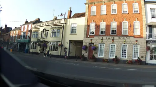
Number 8
Cinema and theater · 3.5 mi
Community arts centre in Pershore, England

Ridgeway Bank Farm Shop and Plant Centre
Farm and orchard · 1.9 mi
Eckington Road, Tewkesbury

Museums and landmarks3

Croome Court
Museum · 3.2 mi
Grade I listed historic house museum in Malvern Hills, United Kingdom
Parks, trails and playgrounds4



Restaurants and cafes19

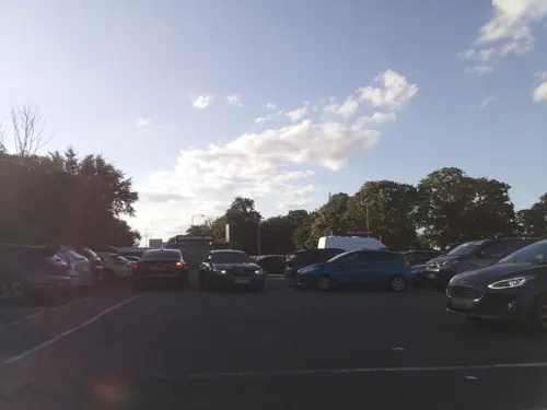
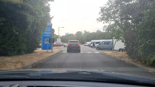
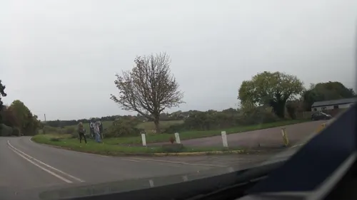
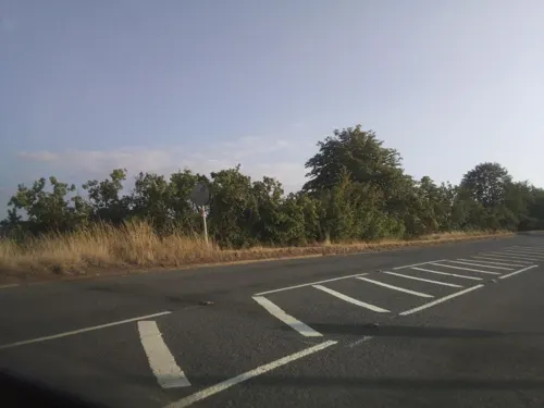
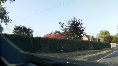


7 more on the map.
History
The name Eckington derives from the Old English Eccaingtūn or Ecciingtūn, meaning 'settlement connected with Ecca/Ecci'.
One of the Pilgrim Fathers, George Soule, is believed to have come from the village.
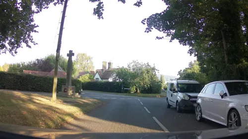
The Grade II listed village cross now stands in a grass triangle at the junction of Church Street and Drakes Bridge Road 52°4'18.83"N+2°6'56.28"W. It was moved to there when restored in 1897, and given a Maltese Cross. The base and shaft are medieval with Victorian inscriptions on north and south faces of the shaft, the former barely visible. The inscription reads:DOMINE•SALVAM•FAC•REGINAM•MDCCCXCVII (God Save the Queen 1897).
From the History section of Eckington, Worcestershire on Wikipedia, under CC BY-SA 4.0.
Where to stay4
Churches and places of worship8
Shopping1
Gas and EV charging1
Schools, colleges and libraries2
Map of Eckington
47 places. The map loads OpenStreetMap tiles when you open it.
Getting there and nearby towns
Gloucestershire Airport (GLO) is the nearest airport with scheduled flights listed in OpenStreetMap, 12 miles away.
- Upton upon Severn 4 mi west, about 7 min by car
- Tewkesbury 5 mi south, about 9 min by car
- Evesham 7 mi east, about 12 min by car
- Bishops Cleeve 9 mi south, about 14 min by car
- Great Malvern 9 mi west, about 15 min by car
- Worcester 10 mi northwest, about 15 min by car
- Harvington 10 mi northeast, about 16 min by car
- South Littleton 10 mi east, about 16 min by car
- Cheltenham 12 mi south, about 19 min by car
- Gloucester 15 mi south, about 24 min by car
Drive times are estimates from straight-line distance, not routes.
Towns near Eckington


Keep exploring
Local news
Headlines from INDB.
Reviews, tips and questions
Loading what members have shared...
Sources and licences
- GeoNames (CC BY 4.0): population, coordinates, regions and time zone
- Mapillary (see each image): photos
- OpenStreetMap contributors (ODbL 1.0): places, airports, map data
- Wikidata (CC0 1.0): elevation, founding date, time zone, website, landmarks and historic places
- Wikimedia Commons (see each image): photos
- Wikipedia (CC BY-SA 4.0): overview and history text
Photo credits
- Eckington Main Street, Bob Embleton, CC BY-SA 2.0
- Croome Court 2016 013, Photograph by Mike Peel ( www.mikepeel.net )., CC BY-SA 4.0
- St Mary Magdalene's Church, Croome D'Abitot 2016 001, Photograph by Mike Peel ( www.mikepeel.net )., CC BY-SA 4.0
- Church of the Holy Trinity EH 1116723 tower, Rodw, CC BY-SA 3.0
- Birlingham Church ^ Graveyard - panoramio (1), cisko66, CC BY 3.0
- Eckington Bridge from the north east 2, Rodw, CC BY-SA 3.0
- SO 9245. Tiddesley Wood, Besford, Worcs. GB. 1 seen - Flickr - gailhampshire, gailhampshire from Cradley, Malvern, U.K, CC BY 2.0
- The Swan, Birlingham, Philip Halling, CC BY-SA 2.0
- Street-level photo, southglos, CC BY-SA 4.0
- Street-level photo, southglos, CC BY-SA 4.0
- Street-level photo, southglos, CC BY-SA 4.0
- Street-level photo, southglos, CC BY-SA 4.0
- Street-level photo, adam2, CC BY-SA 4.0
- Street-level photo, southglos, CC BY-SA 4.0
- Street-level photo, southglos, CC BY-SA 4.0
- Street-level photo, southglos, CC BY-SA 4.0
- Street-level photo, southglos, CC BY-SA 4.0
- Street-level photo, southglos, CC BY-SA 4.0
- Street-level photo, mappo2, CC BY-SA 4.0
- Street-level photo, southglos, CC BY-SA 4.0
- Street-level photo, southglos, CC BY-SA 4.0
- Street-level photo, richardc, CC BY-SA 4.0
- Street-level photo, RyanBush, CC BY-SA 4.0
- Street-level photo, southglos, CC BY-SA 4.0
- Street-level photo, southglos, CC BY-SA 4.0
Page built November 10, 2026. Spotted a mistake? Tell us or suggest a place.