


Why visit Embsay
Townapedia lists 29 museums and landmarks, 6 parks and trails, 78 places to eat, 3 places to stay and 9 attractions in and around town.
Highlights include Craven Museum, Skipton Castle, Skipton Golf Club and Aireville Park.
Weather in Embsay
Forecast from MET Norway (CC BY 4.0). Full forecast
About Embsay
Embsay is a village in the county of North Yorkshire, England. It is paired with the neighbouring hamlet of Eastby to form the civil parish of Embsay with Eastby. The parish population as of the 2011 census was 1,871.
From the Wikipedia article Embsay (this version), under CC BY-SA 4.0.
Things to do9


Museums and landmarks29


Skipton Castle
Museum · 1.3 mi
Grade I listed historic house museum in Skipton, North Yorkshire, England, UK
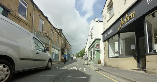


Embsay Kirk
Monument and historic site · 0.7 mi
C1780 house with C19 alterations. Stands on site of former priory. Previous owner John Sidgwick reputed to be model for Mr. Rochester in...
Augustinian Priory of St. Cuthbert
Monument and historic site · 0.6 mi
Pre-cursor of Bolton Priory, but occupied up to dissolution of monestries

17 more on the map.
Parks, trails and playgrounds6


Aireville Park
Park · 1.8 mi
Park in Skipton, North Yorkshire, England


Restaurants and cafes78
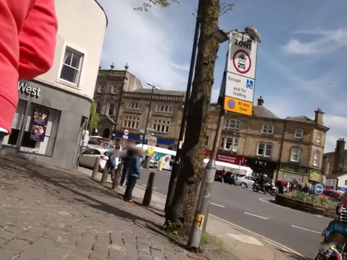
Caffè Nero
Cafe · Coffee Shop · 1.5 mi
40-42 Sheep Street, Skipton
Mo-Fr 07:00-18:00; Sa 07:30-18:00; Su 08:00-18:00


Costa
Cafe · Coffee Shop · 1.5 mi
14-16 Sheep Street, Skipton
Mo-Fr 07:00-17:30; Sa 07:30-17:30; Su 08:30-17:00
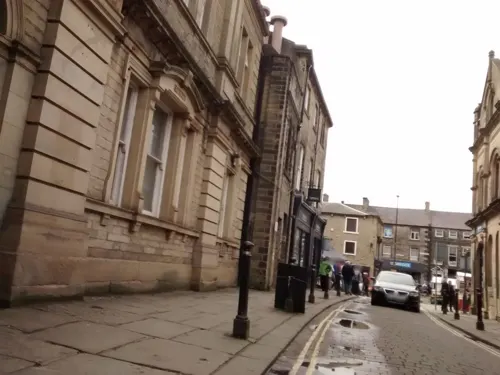


Starbucks
Cafe · Coffee Shop · 1.3 mi
1 Jerry Croft, Skipton
Mo-Fr 07:00-18:00; Sa 07:30-18:00; Su 09:00-17:00; PH 09:00-17:00
66 more on the map.
History
Embsay was originally a Celtic settlement, possibly founded at the same time as a local monastery, destroyed in a Viking raid in 867 AD. The village has a Saxon name and is listed in Domesday Book as "Embesie", which translates as "Embe's enclosure". At that time, much of the area was wooded and this was progressively cleared over time to provide farmland. In 1120, Cecily de Romille and her husband founded Embsay Priory. The Augustinian members of the priory dedicated it to Saint Cuthbert and received local tithes. In 1154 they exchanged estates with the de Romille family and moved to Bolton Abbey, which was a more fertile location. The priory flourished and grew rich on the profits of sheep farming and wool trading. In 1305, Edward I granted a charter for an annual fair at Embsay. The Industrial Revolution resulted in several mills being built in Embsay.
From the History section of Embsay on Wikipedia, under CC BY-SA 4.0.
More about Embsay
Geography
At the foot of Embsay Crag, a rock formation north of the village, is Embsay Reservoir. The crag marks the start of Barden Moor, an expanse of open moorland that is open access land and used by walkers. There are two more reservoirs on the moor: Upper Barden Reservoir and Lower Barden Reservoir. Embsay Reservoir is the headquarters of Craven Sailing Club.
From the Wikipedia article Embsay, under CC BY-SA 4.0.
Notable people from Embsay
- Wilfred BlakeEnglish cricketer (1854-?)
- Ron FawcettBritish rock climber
Born in Embsay, according to Wikidata (CC0). Each name links to its Wikipedia article.
Where to stay3
Churches and places of worship12
Shopping33
Gas and EV charging2
Schools, colleges and libraries6
St Stephen's Catholic Primary School and Nursery
School · Roman Catholic · 1.5 mi
Gargrave Road, Skipton
Healthcare3
Map of Embsay
181 places. The map loads OpenStreetMap tiles when you open it.
Getting there and nearby towns
Leeds Bradford Airport (LBA) is the nearest airport with scheduled flights listed in OpenStreetMap, 16 miles away.
- Skipton 1 mi southwest, about 2 min by car
- Cross Hills 5 mi south, about 8 min by car
- Gargrave 5 mi west, about 7 min by car
- Grassington 7 mi north, about 11 min by car
- Keighley 8 mi southeast, about 13 min by car
- Ilkley 8 mi southeast, about 13 min by car
- Barnoldswick 9 mi southwest, about 14 min by car
- Hellifield 10 mi west, about 15 min by car
- Bingley 11 mi southeast, about 17 min by car
- Colne 11 mi southwest, about 18 min by car
Drive times are estimates from straight-line distance, not routes.
Towns near Embsay


Keep exploring
Local news
Headlines from INDB.
Reviews, tips and questions
Loading what members have shared...
Sources and licences
- GeoNames (CC BY 4.0): population, coordinates, regions and time zone
- Mapillary (see each image): photos
- OpenStreetMap contributors (ODbL 1.0): places, airports, map data
- Wikidata (CC0 1.0): elevation, founding date, time zone, website, landmarks and historic places
- Wikimedia Commons (see each image): photos
- Wikipedia (CC BY-SA 4.0): overview and history text
Photo credits
- Foyer landscape, JHillCDC, CC BY-SA 4.0
- Skipton Castle dg2, Davegill70, CC BY-SA 3.0
- Main church of Skipton 01, Unknown author, Public domain
- Church St Andrew's Church, Methodist & United Reformed, Skipton (27186088417), Mark Stevenson, CC BY 2.0
- St Mary in Carleton 02, Immanuel Giel, Public domain
- The Chapel (1), Gpwitteveen, CC BY-SA 3.0
- St Mary the Virgin Embsay, Nthep, CC BY-SA 4.0
- St Stephen's Church Skipton 02, Immanuel Giel, CC BY-SA 4.0
- Skipton Castle dg8, Davegill70, CC BY-SA 3.0
- Skipton Golf Club, Ric1980, CC BY-SA 4.0
- Cock and Bottle, Only By Land, CC BY-SA 4.0
- Quaker Meeting House, Skipton, Peter James, CC BY-SA 4.0
- Red Lion Skipton, Only By Land, CC BY-SA 4.0
- Royal Shepherd Public House, Simon Cobb, CC0
- Black Horse Skipton, Only By Land, CC BY-SA 4.0
- Ermysted's Grammar School 14, Immanuel Giel, CC0
- View from Park Hill, Skipton (15773092471), Tim Green from Bradford, CC BY 2.0
- Street-level photo, ljasq, CC BY-SA 4.0
- Street-level photo, tallguy, CC BY-SA 4.0
- Street-level photo, ljasq, CC BY-SA 4.0
- Street-level photo, tallguy, CC BY-SA 4.0
- Street-level photo, tallguy, CC BY-SA 4.0
- Street-level photo, ljasq, CC BY-SA 4.0
- Street-level photo, tallguy, CC BY-SA 4.0
- Street-level photo, ljasq, CC BY-SA 4.0
- Street-level photo, ljasq, CC BY-SA 4.0
- Street-level photo, tallguy, CC BY-SA 4.0
- Street-level photo, tallguy, CC BY-SA 4.0
- Street-level photo, ljasq, CC BY-SA 4.0
- Street-level photo, tallguy, CC BY-SA 4.0
- Street-level photo, ljasq, CC BY-SA 4.0
- Street-level photo, tallguy, CC BY-SA 4.0
- Street-level photo, tallguy, CC BY-SA 4.0
- Street-level photo, tallguy, CC BY-SA 4.0
- Street-level photo, tallguy, CC BY-SA 4.0
- Street-level photo, tallguy, CC BY-SA 4.0
- Street-level photo, tallguy, CC BY-SA 4.0


Page built November 10, 2026. Spotted a mistake? Tell us or suggest a place.