


Why visit Endon
Townapedia lists 2 museums and landmarks, 5 parks and trails, 11 places to eat and 1 attraction in and around town.
Highlights include Ford Green Hall, Bagnall Road Wood and Deep Hayes Country Park.
Weather in Endon
Forecast from MET Norway (CC BY 4.0). Full forecast
About Endon
Endon is a village within the Staffordshire Moorlands district of Staffordshire, England. It is 4 miles (6.4 km) southwest of Leek and 6 miles (9.7 km) north-northeast of Stoke-on-Trent. Endon was formerly a township in civil parish of Leek.
From the Wikipedia article Endon (this version), under CC BY-SA 4.0.
Things to do1

Museums and landmarks2

Ford Green Hall
Museum · 2.8 mi
Farmhouse and museum in Stoke-on-Trent, Staffordshire, England, UK

Railway Bridge Pivot
Monument and historic site · 0.4 mi
Disused light railway bridge pivot
Parks, trails and playgrounds5

Deep Hayes Country Park
Park · 2.2 mi
Country park in Staffordshire, UK


Restaurants and cafes11



Notable people from Endon
- T. E. HulmeEnglish Imagist poet and critic (1883–1917)
- Danny ShelleyFootballer (born 1990)
Born in Endon, according to Wikidata (CC0). Each name links to its Wikipedia article.
Churches and places of worship8
Shopping1
Gas and EV charging2
Schools, colleges and libraries5
Healthcare1
Map of Endon
36 places. The map loads OpenStreetMap tiles when you open it.
Getting there and nearby towns
Manchester Airport (MAN) is the nearest airport with scheduled flights listed in OpenStreetMap, 20 miles away.
- Biddulph 4 mi northwest, about 6 min by car
- Leek 4 mi northeast, about 7 min by car
- Kidsgrove 5 mi west, about 8 min by car
- Stoke-on-Trent 6 mi southwest, about 9 min by car
- Longton 7 mi south, about 10 min by car
- Newcastle under Lyme 7 mi southwest, about 12 min by car
- Congleton 7 mi northwest, about 12 min by car
- Alsager 8 mi west, about 13 min by car
- Cheadle 8 mi southeast, about 14 min by car
- Rode Heath 8 mi west, about 13 min by car
Drive times are estimates from straight-line distance, not routes.
Towns near Endon


Keep exploring
Local news
Headlines from INDB.
Reviews, tips and questions
Loading what members have shared...
Sources and licences
- GeoNames (CC BY 4.0): population, coordinates, regions and time zone
- Mapillary (see each image): photos
- OpenStreetMap contributors (ODbL 1.0): places, airports, map data
- Wikidata (CC0 1.0): elevation, founding date, time zone, website, landmarks and historic places
- Wikimedia Commons (see each image): photos
- Wikipedia (CC BY-SA 4.0): overview and history text
Photo credits
- St Luke's Church, Endon, AtticTapestry, CC BY-SA 4.0
- Ford Green Hall framed by tree, Nina Richards, CC BY-SA 4.0
- St Anne, Brown Edge 1, AtticTapestry, CC BY-SA 4.0
- St Luke's Endon 2019 2, AtticTapestry, CC BY-SA 4.0
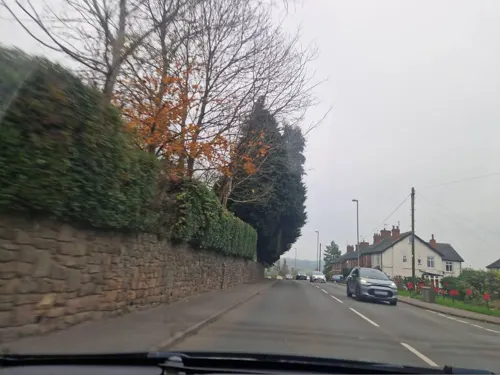
- Street-level photo, edloach, CC BY-SA 4.0
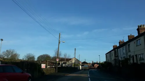
- Street-level photo, edloach, CC BY-SA 4.0
- Street-level photo, adam2, CC BY-SA 4.0
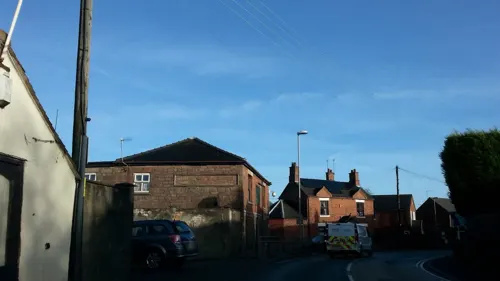
- Street-level photo, edloach, CC BY-SA 4.0
- Street-level photo, adam2, CC BY-SA 4.0
- Street-level photo, adam2, CC BY-SA 4.0
- Street-level photo, adam2, CC BY-SA 4.0
- Street-level photo, adam2, CC BY-SA 4.0
- Street-level photo, edloach, CC BY-SA 4.0
- Street-level photo, adam2, CC BY-SA 4.0
Page built November 10, 2026. Spotted a mistake? Tell us or suggest a place.