


Why visit Leek
Townapedia lists 7 museums and landmarks, 14 parks and trails, 79 places to eat, 5 places to stay and 1 attraction in and around town.
Highlights include Nicholson War Memorial, Brindley Mill, Coombes Valley RSPB reserve and Deep Hayes Country Park.
Weather in Leek
Forecast from MET Norway (CC BY 4.0). Full forecast
About Leek
Leek is a market town and civil parish in the Staffordshire Moorlands District of Staffordshire, England. The town lies on the River Churnet, 10 miles (16 km) north east of Stoke-on-Trent. In 2021, it had a population of 19,385.
From the Wikipedia article Leek, Staffordshire (this version), under CC BY-SA 4.0.
Travel tips from other travellers: Leek on Wikivoyage (CC BY-SA 4.0).
Photos of Leek

Things to do1

Museums and landmarks7

Nicholson War Memorial
Monument and historic site
Grade II listed war memorial in Leek, Staffordshire, England, UK


Dieulacres Abbey
Monument and historic site · 1.0 mi
Former Cistercian monastery in Leek, Staffordshire Moorlands, Staffordshire, England, UK

Nicholson Institute and Leek College of Further Education
Museum
Grade II* listed building in Leek, Staffordshire UK

Parks, trails and playgrounds14

Coombes Valley RSPB reserve
Park · 2.7 mi
RSPB nature reserve in the United Kingdom
Deep Hayes Country Park
Park · 2.5 mi
Country park in Staffordshire, UK



2 more on the map.
Restaurants and cafes79
The Mulberry Leaves
Bar and pub · Burger, Pizza, Regional, Chicken, American, Tex-Mex, Indian, Steak House · 0.7 mi
Churnet Way, Leek
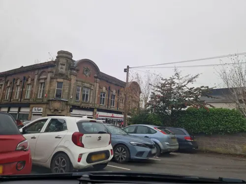
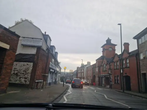
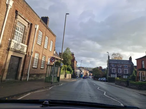
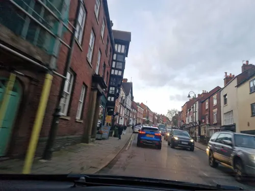
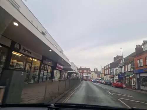
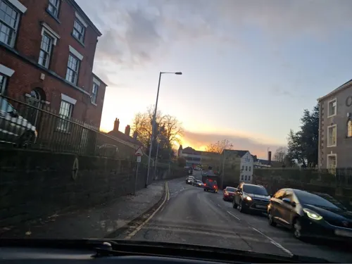


67 more on the map.
History
Leek (Lee, Leike, Leeke) formed part of the great estates of Ælfgar, Earl of Mercia; it escheated to William the Conqueror who held it at the time of the Domesday Survey. Later it passed to the earls Palatine of Chester, remaining in their hands until Ralph de Blundevill, earl of Chester, gave it to the abbey of Dieulacresse, which continued to hold it until its dissolution. The same earl in a charter which he gave to the town (temp. John) calls it a borough and grants to his free burgesses various privileges, including freedom from toll throughout Cheshire. These privileges were confirmed by Richard, abbot of Dieulacresse, but the town received no royal charter and failed to establish its burghal position.
The Wednesday market, which is still held today, dates from a grant of John to the earl of Chester; in the 17th century, this was very considerable. A fair, also granted by John, beginning on the third day before the Translation of Edward the Confessor is still held. The silk manufacture which can be traced to the latter part of the 17th century is thought to have been aided by the settlement in Leek of some Huguenots after the revocation of the Edict of Nantes.
Read more of the history
In the 17th and 18th centuries, the town was famous for its ale. Prince Charles Edward Stuart passed through Leek on his march to Derby (1745) and again on his return journey to Scotland. A story in connection with the Civil Wars is told to explain the expression "Now thus" occurring on the tombstone of a citizen, who by this meaningless answer to all questions sought escape on the plea of insanity.
The Leek Improvement Act 1855 (18 & 19 Vict. c. cxxxii) formed the Leek Improvement Commissioners to provide services for the town. They were later succeeded by Leek Urban District Council.
From the History section of Leek, Staffordshire on Wikipedia, under CC BY-SA 4.0.
More about Leek
Geography
Most of the town is at or above 600 feet (180 m) and is surrounded by the higher countryside of the Staffordshire Moorlands which is situated on the southern uplands of the Pennines.
Leek is built on the slope and crown of a hill which is situated just a few miles south of the Roaches; a gritstone escarpment which rises steeply to 1,657 feet (505 m).
The town is situated at the foot of the Peak District National Park and is therefore sometimes referred to as the "Gateway to the Peak District", although the town is more often referred to as the "Queen of the Moorlands".
Economy
The town has had a regular cattle market for hundreds of years, reflecting its role as a centre of local farming. Following the Industrial Revolution it was a major producer of textiles, with silk working in particular coming to dominate the industrial landscape. However, this industry has now ceased.
The mills from the town's textile era remain and many have now been converted into housing.
Britannia Building Society had its headquarters in the town and was a large local employer. Irish agricultural cooperative Ornua has its UK headquarters located in Leek, producing and purchasing butter and cheese and employing over 700 staff.
Education
The town retains the three-tier schooling system. St. Edwards Academy (previously St. Edwards Middle, then St. Edwards Junior High) has the highest student capacity of any 'middle school' in Staffordshire, at 768 students.
From the Wikipedia article Leek, Staffordshire, under CC BY-SA 4.0.
Notable people from Leek
 Anna WatkinsBritish rowerPhoto: Jim Thurston from London, UK, CC BY-SA 2.0
 James FordEnglish composer, musician, and record producerPhoto: Henry Laurisch, CC BY-SA 3.0
 Matthew MellorpoliticianPhoto: Contributor(s): The Queenslander, Public domain
- Averil CameronEnglish historian of late antiquity (1940–2026)
- Ken Coates (politician)British politician (1930–2010)
- Kim BarnettEnglish Test and County cricketer (born 1960)
- Wayne CordenBritish footballer (born 1975)
- Basil HaywardEnglish footballer (1928–1989)
- Jack HydeFootballer (1899-1982)
- Paul OgdenFootballer (born 1946)
- Stan TraffordFootballer (born 1945)
- Arthur RowleyFootballer (1870-?)
Born in Leek, according to Wikidata (CC0). Each name links to its Wikipedia article.
Where to stay5
Churches and places of worship13
Shopping30
Gas and EV charging4
Schools, colleges and libraries16
Healthcare8
Map of Leek
177 places. The map loads OpenStreetMap tiles when you open it.
Getting there and nearby towns
Manchester Airport (MAN) is the nearest airport with scheduled flights listed in OpenStreetMap, 20 miles away.
- Stoke-on-Trent 10 mi southwest, about 16 min by car
- Longton 10 mi southwest, about 15 min by car
- Newcastle under Lyme 11 mi southwest, about 18 min by car
- Sandbach 14 mi west, about 23 min by car
- Stone 15 mi south, about 24 min by car
- Uttoxeter 16 mi southeast, about 25 min by car
- Poynton 17 mi north, about 28 min by car
- Wilmslow 18 mi northwest, about 29 min by car
- New Mills 18 mi north, about 29 min by car
- Middlewich 19 mi west, about 30 min by car
Drive times are estimates from straight-line distance, not routes.
Towns near Leek


Keep exploring
Local news
Headlines from INDB.
Reviews, tips and questions
Loading what members have shared...
Sources and licences
- GeoNames (CC BY 4.0): population, coordinates, regions and time zone
- Mapillary (see each image): photos
- OpenStreetMap contributors (ODbL 1.0): places, airports, map data
- Wikidata (CC0 1.0): elevation, founding date, time zone, website, landmarks and historic places
- Wikimedia Commons (see each image): photos
- Wikipedia (CC BY-SA 4.0): overview and history text
Photo credits
- Leek 4, Charlesdrakew, Public domain
- Leek - Police Station And Superintendents House Including Stables And Boundary Wall - 20200520103314, LaurenLRogers, CC BY-SA 4.0
- 12 Haywood Street, Leek, David Smith, CC BY-SA 2.0
- 27-33 London Street, Leek, Alan Murray-Rust, CC BY-SA 2.0
- 35-41 London Street, Leek, Alan Murray-Rust, CC BY-SA 2.0
- Nicholson War Memorial, Leek 2, AtticTapestry, CC BY-SA 4.0
- Dieulacres - Chronique, Unknown author Unknown author, Public domain
- Nicholson Institute, Leek, AtticTapestry, CC BY-SA 4.0
- Leek, church of St Edward the Confessor, Poliphilo, CC0
- Brindley Mill 2019, AtticTapestry, CC BY-SA 4.0
- St Lukes Church 1, Leek, AtticTapestry, CC BY-SA 4.0
- Leek St Mary , Catholic Church, Staffs, Yarah, CC BY-SA 3.0
- Trinity Church, Leek 1, AtticTapestry, CC BY-SA 4.0
- St John's Church, Leek 2, AtticTapestry, CC BY-SA 4.0
- Brindley Mill, AtticTapestry, CC BY-SA 4.0
- Street-level photo, edloach, CC BY-SA 4.0
- Street-level photo, edloach, CC BY-SA 4.0
- Street-level photo, mappo2, CC BY-SA 4.0
- Street-level photo, edloach, CC BY-SA 4.0
- Street-level photo, mappo2, CC BY-SA 4.0
- Street-level photo, edloach, CC BY-SA 4.0
- Street-level photo, edloach, CC BY-SA 4.0
- Street-level photo, edloach, CC BY-SA 4.0
- Street-level photo, edloach, CC BY-SA 4.0
- Street-level photo, edloach, CC BY-SA 4.0
- Street-level photo, edloach, CC BY-SA 4.0
- Street-level photo, edloach, CC BY-SA 4.0
- Street-level photo, edloach, CC BY-SA 4.0
- Street-level photo, edloach, CC BY-SA 4.0
- Street-level photo, edloach, CC BY-SA 4.0
- Street-level photo, edloach, CC BY-SA 4.0
- Street-level photo, edloach, CC BY-SA 4.0
- Street-level photo, edloach, CC BY-SA 4.0
- Street-level photo, edloach, CC BY-SA 4.0
- Street-level photo, mappo2, CC BY-SA 4.0
- Street-level photo, edloach, CC BY-SA 4.0
- Street-level photo, edloach, CC BY-SA 4.0
- Street-level photo, edloach, CC BY-SA 4.0
- Street-level photo, edloach, CC BY-SA 4.0
- Street-level photo, edloach, CC BY-SA 4.0
- Street-level photo, edloach, CC BY-SA 4.0


Page built November 10, 2026. Spotted a mistake? Tell us or suggest a place.