


Why visit Cheadle
Townapedia lists 8 museums and landmarks, 14 parks and trails, 34 places to eat, 4 places to stay and 1 attraction in and around town.
Highlights include The Old Furnace, Cheadle Discovery and Visitor Centre and Harston Wood.
Weather in Cheadle
Forecast from MET Norway (CC BY 4.0). Full forecast
About Cheadle
Cheadle is a market town and civil parish in the Staffordshire Moorlands District of Staffordshire, England. It is located between Uttoxeter, Leek, Ashbourne and Stoke-on-Trent. Dating back to Anglo-Saxon times, it lies within the historic Staffordshire Hundred of Totmonslow. In 2011 the parish had a population of 12,165.
From the Wikipedia article Cheadle, Staffordshire (this version), under CC BY-SA 4.0.
Photos of Cheadle


Things to do1

Museums and landmarks8

The Old Furnace
Monument and historic site · 1.9 mi
Building in Staffordshire, England
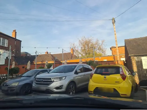
Cheadle Discovery and Visitor Centre
Monument and historic site · 0.4 mi
51 High Street, Stoke-on-Trent
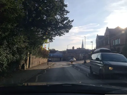

Parks, trails and playgrounds14




2 more on the map.
Restaurants and cafes34
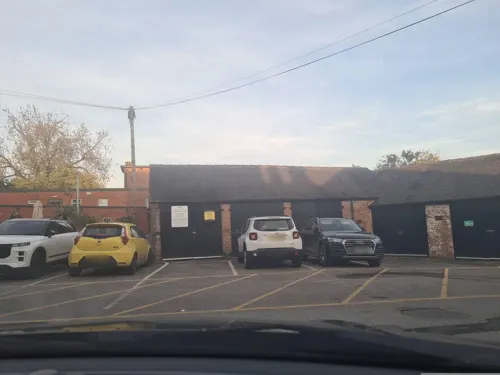
The Wheatsheaf
Bar and pub · 0.4 mi
53 High Street, Stoke-on-Trent
Mo,Tu,We,Th,Su 08:00-24:00; Fr,Sa 08:00-25:00
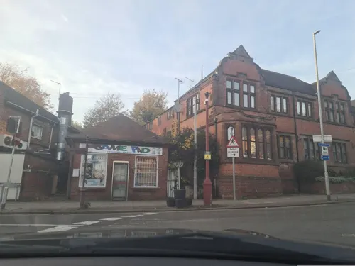



22 more on the map.
History
Cheadle appears in Domesday Book as held by the lord of the manor, Robert of Stafford, at the time the area covered 6 miles by 3 miles and listed 9 families. In 1176 the Basset family acquired the manor of "Chedle" and in 1250 Ralph Basset was granted a market charter and annual fair by King Henry III.
In 1309, 75 families are recorded as using a corn-grinding mill sited near Mill Road. Fifty years later, a new church was built in the village replacing a 12th-century structure and this church remained in use until 1837.
In 1606 a school was founded by the church, and in 1685 the then curate of the parish, Rev, Henry Stubbs, left an endowment to found a grammar school in Cheadle. The school was built at Monkhouse (behind the High Street) and was active until 1917. The endowment continues to this day. The Monkhouse is currently home to 3rd Cheadle Scout Group.
By 1676 Cheadle's population is recorded as just over one thousand, and a hundred years later (1772) as one thousand eight hundred. At this time the main source of employment was agriculture and farming. During the same period a new workhouse was built and opened. It was extended under the Cheadle Union in 1837. Part of the original building was demolished in 1909, renamed an infirmary. The whole complex was demolished in 1987 and a new hospital was built on the site, which was opened in 1989 by Princess Anne.
Read more of the history
In 1798, 10 weavers houses were built. The weavers lived downstairs and the looms for the manufacture of tape were upstairs. By the 1820s the looms were transferred into a factory in Tape Street. This tape factory closed in 1972, and is now a shop. In 1851 silk and narrow fabric mills were built in Cheadle. They employed hundreds of operatives, and closed in 1981.
In the Brookhouses area of Cheadle in 1725, the Cheadle Brass and Copper Company started production, transferring to the Oakamoor area 100 years later under the company name Thomas Patten. It was bought in 1851 by Thomas Bolton of Birmingham. In 1890 Bolton's opened a factory at Froghall and the Oakamoor works were eventually closed in 1963.
St Giles' Catholic Church opened in 1846. Its 200 feet (61 m) spire still dominates the town today. It was built by Augustus Welby Northmore Pugin, who was commissioned by John Talbot, 16th Earl of Shrewsbury to create a church that "would have no rival". To achieve his aim, Talbot gave Pugin unlimited resources with which to build it. The church is more commonly known as 'Pugin's Gem', and is the centre of a local tourist event known as 'Discover the Secret'. Cheadle Town Hall was completed in 1894.
At the turn of the 20th century the first open air swimming baths were constructed at Brookhouses, and telephone installation began in 1904. In 1901 Cheadle was linked to the railway network by the Cheadle Railway, operated and later owned by the North Staffordshire Railway, with the building of a railway station at Majors Barn, giving access to further industries and movement of passengers. At a later period sand, gravel and aggregates used for building purposes were transported from the station as well as coal.
The first motor car arrived in Cheadle in 1903, and the first licensed omnibus service – Cheadle to Longton – commenced in January 1914.
One of the British Signals Intelligence Y-stations called RAF Cheadle was situated at Woodhead Hall, from land purchased by the Air Ministry playing a vital role in helping intercept German Luftwaffe radio communications during the Second World War.
From the History section of Cheadle, Staffordshire on Wikipedia, under CC BY-SA 4.0.
More about Cheadle
Economy
Cheadle is mentioned in Domesday Book as a small and unimportant hamlet with a small population. The town grew steadily over the next few hundred years, with the development of industry and agriculture. The historic industries that the town has depended on have been coal mining, silk, agriculture, brass making and the historic copper industry in nearby Froghall and Oakamoor. The town and the nearby village of Tean also had a textiles industry in tape weaving: the mill has since been converted into flats.
For hundreds of years the main industry in the Cheadle area was coal mining. The Cheadle Coalfield was part of the much larger North Staffordshire Coalfield. The town and the surrounding area were once home to over sixty mines, but the Industry declined in the 20th century, and one by one the remaining larger pits were closed; Parkhall (now the home to the JCB factories) and Hazlewall in the 1930s, New Haden in 1943 and Foxfield in 1965. However opencast mining and small scale adit mining carried on in Cheadle up until the 1990s.
Today the town's main employer is the large JCB factories. There are also several small industrial units on the site of the former New Haden Colliery and the local Alton Towers Resort employs many of its work force from the Cheadle area. A lot of people in the town commute to Stoke-on-Trent, Newcastle-under-Lyme, Uttoxeter and Derby.
From the Wikipedia article Cheadle, Staffordshire, under CC BY-SA 4.0.
Notable people from Cheadle
 William HarrisLiberal Party politician and strategist, architect, and writer, in Birmingham, EnglandPhoto: Signed E. C. Mountfort, Public domain
- Mary Adela BlaggBritish astronomer (1858–1944)
- Jon Davidsonassociation football player (born 1970)
- Gareth OwenEnglish-born Welsh footballer (born 1982)
- John Manchester AllenNew Zealand politician
- Thomas FreethEnglish modernist stained glass artist
- Terry LoweFootballer (born 1943)
- Fred InskipEnglish footballer (1924-2000)
- Fred ObreyFootballer (1912-1986)
- Bob BorsleyBritish sport shooter
Born in Cheadle, according to Wikidata (CC0). Each name links to its Wikipedia article.
Where to stay4
Churches and places of worship9
Shopping7
Gas and EV charging1
Schools, colleges and libraries8
Healthcare4
Map of Cheadle
90 places. The map loads OpenStreetMap tiles when you open it.
Getting there and nearby towns
Manchester Airport (MAN) is the nearest airport with scheduled flights listed in OpenStreetMap, 28 miles away.
- Longton 6 mi west, about 10 min by car
- Uttoxeter 8 mi southeast, about 12 min by car
- Stoke-on-Trent 9 mi west, about 14 min by car
- Leek 9 mi north, about 14 min by car
- Stone 9 mi southwest, about 14 min by car
- Newcastle under Lyme 10 mi west, about 17 min by car
- Kidsgrove 13 mi northwest, about 21 min by car
- Rugeley 16 mi south, about 25 min by car
- Congleton 16 mi northwest, about 25 min by car
- Burton upon Trent 19 mi southeast, about 30 min by car
Drive times are estimates from straight-line distance, not routes.
Towns near Cheadle


Keep exploring
Local news
Headlines from INDB.
Reviews, tips and questions
Loading what members have shared...
Sources and licences
- GeoNames (CC BY 4.0): population, coordinates, regions and time zone
- Mapillary (see each image): photos
- OpenStreetMap contributors (ODbL 1.0): places, airports, map data
- Wikidata (CC0 1.0): elevation, founding date, time zone, website, landmarks and historic places
- Wikimedia Commons (see each image): photos
- Wikipedia (CC BY-SA 4.0): overview and history text
Photo credits
- Cheadle High Street, AtticTapestry, CC BY-SA 4.0
- St Giles' Church, Cheadle, Brian Deegan, CC BY-SA 2.0
- St Giles' School, Cheadle, Michael Garlick, CC BY-SA 2.0
- At Cheadle, Staffordshire 2025 041, Photograph by Mike Peel ( www.mikepeel.net )., CC BY-SA 4.0
- At Cheadle, Staffordshire 2025 042, Photograph by Mike Peel ( www.mikepeel.net )., CC BY-SA 4.0
- At Cheadle, Staffordshire 2025 092, Photograph by Mike Peel ( www.mikepeel.net )., CC BY-SA 4.0
- At Cheadle, Staffordshire 2025 091, Photograph by Mike Peel ( www.mikepeel.net )., CC BY-SA 4.0
- At Cheadle, Staffordshire 2025 044, Photograph by Mike Peel ( www.mikepeel.net )., CC BY-SA 4.0
- At Cheadle, Staffordshire 2025 043, Photograph by Mike Peel ( www.mikepeel.net )., CC BY-SA 4.0
- At Cheadle, Staffordshire 2025 052, Photograph by Mike Peel ( www.mikepeel.net )., CC BY-SA 4.0
- At Cheadle, Staffordshire 2025 089, Photograph by Mike Peel ( www.mikepeel.net )., CC BY-SA 4.0
- At Cheadle, Staffordshire 2025 090, Photograph by Mike Peel ( www.mikepeel.net )., CC BY-SA 4.0
- At Cheadle, Staffordshire 2025 095, Photograph by Mike Peel ( www.mikepeel.net )., CC BY-SA 4.0
- At Cheadle, Staffordshire 2025 045, Photograph by Mike Peel ( www.mikepeel.net )., CC BY-SA 4.0
- At Cheadle, Staffordshire 2025 046, Photograph by Mike Peel ( www.mikepeel.net )., CC BY-SA 4.0
- At Cheadle, Staffordshire 2025 051, Photograph by Mike Peel ( www.mikepeel.net )., CC BY-SA 4.0
- At Cheadle, Staffordshire 2025 050, Photograph by Mike Peel ( www.mikepeel.net )., CC BY-SA 4.0
- Harston Wood 3, AtticTapestry, CC BY-SA 4.0
- St Mary's Church, Cresswell, Geoff Pick, CC BY-SA 2.0
- Checkley Church 3, AtticTapestry, CC BY-SA 4.0
- St Giles RC Church Cheadle Staffs tower, Oosoom, CC BY-SA 3.0
- The Old Furnace, Mike Faherty, CC BY-SA 2.0
- Street-level photo, mappo2, CC BY-SA 4.0
- Street-level photo, mappo2, CC BY-SA 4.0
- Street-level photo, mappo2, CC BY-SA 4.0
- Street-level photo, mappo2, CC BY-SA 4.0
- Street-level photo, mappo2, CC BY-SA 4.0
- Street-level photo, mappo2, CC BY-SA 4.0
- Street-level photo, mappo2, CC BY-SA 4.0
- Street-level photo, mappo2, CC BY-SA 4.0
- Street-level photo, mappo2, CC BY-SA 4.0
- Street-level photo, mappo2, CC BY-SA 4.0
- Street-level photo, mappo2, CC BY-SA 4.0
- Street-level photo, mappo2, CC BY-SA 4.0
- Street-level photo, mappo2, CC BY-SA 4.0


Page built November 10, 2026. Spotted a mistake? Tell us or suggest a place.