


Finchampstead, United Kingdom
Finchampstead is a town of 1,034 people in England, United Kingdom.
Why visit Finchampstead
Townapedia lists 3 museums and landmarks, 17 parks and trails, 12 places to eat and 2 places to stay in and around town.
Highlights include Finchampstead War Memorial, California Country Park and Ambarrow Court.
Weather in Finchampstead
Forecast from MET Norway (CC BY 4.0). Full forecast
About Finchampstead
Finchampstead is a village and civil parish in Wokingham Borough in Berkshire, England. Bordering northeastern Hampshire to the south, its northern extremity is 2 miles (3 km) south of Wokingham, 5 miles (8 km) west of Bracknell, 8 miles (13 km) south-east of Reading, and 34 miles (55 km) west of central London. It is an affluent area, with the village ranking as Britain's 31st wealthiest. It has a high standard of living and is rated as one of the most desirable places to live in the United Kingdom.
From the Wikipedia article Finchampstead (this version), under CC BY-SA 4.0.
Museums and landmarks3

Parks, trails and playgrounds17

Edgbarrow Woods
Park · 2.3 mi
Woods situated between Sandhurst and Crowthorne, Berkshire, England
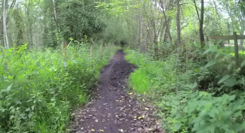

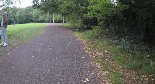
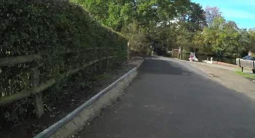



5 more on the map.
Restaurants and cafes12
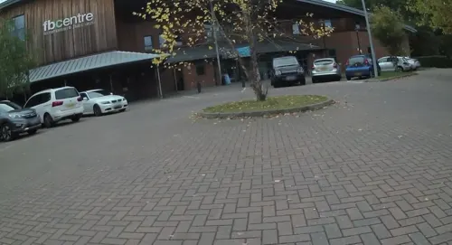
FBC Centre
Cafe · 1.2 mi
Gorse Ride North, Finchampstead
Mo-Fr 09:00-21:00; Sa 08:30-18:00; Su 10:30-12:00
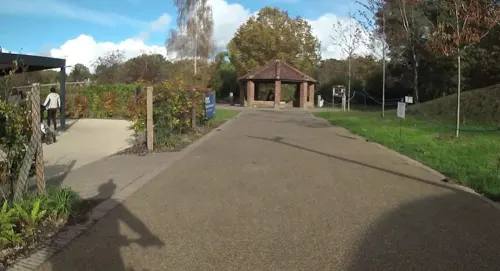
Jacksons Cafe
Cafe · 1.4 mi
Nine Mile Ride, Finchampstead
Tu-Sa 08:00-16:00; Su 09:00-16:00; PH 10:00-16:00
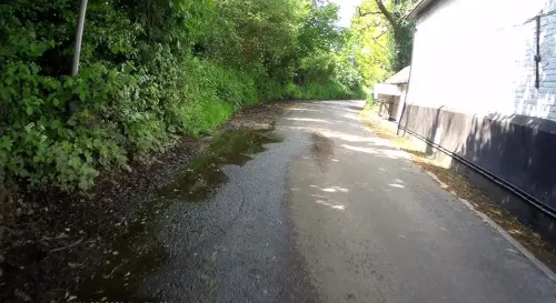
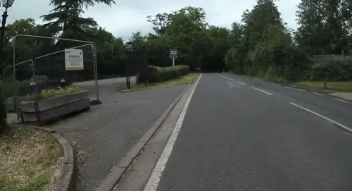
The Greyhound
Bar and pub
Longwater Road, Finchampstead
Mo-Fr 12:00-23:00; Sa 11:00-23:00; Su 11:00-22:00
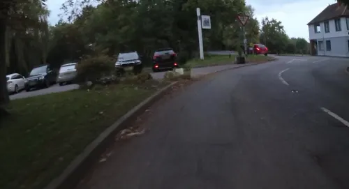

Bobs Fish and Chips
Fast food · Burger, Fish And Chips, Oriental, Pizza · 1.1 mi
425 Finchampstead Road, Wokingham
Mo-Su 00:00-23:00


Where to stay2

History
The Church of England parish church of St James is on top of a prominent hill and has an old Roman earthwork around it. It was probably the site of a pagan temple. The Roman road between London and Silchester, called the "Devil's Highway", ran through the middle of the parish. A Roman milestone survives at Banisters. Finchampstead's Old English toponym derives from the large variety of finches that still populate the area. It is referred to by the younger generation as 'Finch'. Oswald of Northumbria apparently visited the village in the 7th century and named the local holy well, which is recorded in the Anglo-Saxon Chronicle to have flowed with blood in times of National crisis.
Read more of the history
Finchampstead is a richly wooded area on the western edge of old Windsor Forest and once the centre of one of its divisional "walkes" and bailiwicks. It was the hunting place of Royalty and an old tale tells how King Henry VII brought his son, Prince Arthur, out onto the Ridges to see his bride, Catherine of Aragon, for the first time. His other son, Henry VIII, is said to have wooed two sisters at East Court Manor until one committed suicide in a fit of jealousy. There are three manor houses. East Court was next to the church, but has been replaced by a Victorian building and the name has been transferred to another house in the village. West Court is a 17th and 19th century house at Finchampstead Lea. Banisters, on the lower slopes of Fleet Hill, is a brick Restoration house of 1683. Finchampstead's Wellingtonia Avenue was planted with one hundred giant sequoia trees, as a monument to the 1st Duke of Wellington in the 1860s. Wellington College school nearby was also erected in his memory.
From the History section of Finchampstead on Wikipedia, under CC BY-SA 4.0.
More about Finchampstead
Geography
Finchampstead parish extends from The Throat on the southern edge of Wokingham, just past the Inchcape Garage, down to the Tally Ho pub on the River Blackwater which forms the southern border with Eversley and its county Hampshire, over Eversley Bridge. Finchampstead Bridge is further east, just above Eversley Cross. To the east of the parish is Sandhurst and to the west are Swallowfield, Arborfield and Barkham. The Roman road from London to Silchester traverses the parish from West Court through to Roman Ride off the A321. It is known as the Devil's Highway and is well preserved as a footpath and byway over much of its length through Windsor Forest. It is used as a road at West Court, and from Armholes past Heath Pool and along Roman Ride.
From the Wikipedia article Finchampstead, under CC BY-SA 4.0.
Notable people from Finchampstead
- Peter LewingtonEnglish cricketer (1950-2017)
- Vera BryanBritish businessperson (1917-2013)
Born in Finchampstead, according to Wikidata (CC0). Each name links to its Wikipedia article.
Churches and places of worship2
Gas and EV charging1
Schools, colleges and libraries6
Charles Kingsley's Church of England Primary School
School · Anglican · 1.3 mi
Glaston Hill Road, Hook
Healthcare2
Map of Finchampstead
45 places. The map loads OpenStreetMap tiles when you open it.
Getting there and nearby towns
Blackbushe Airport (BBS) is the nearest airport with scheduled flights listed in OpenStreetMap, 2 miles away.
- Yateley 2 mi southeast, about 3 min by car
- Crowthorne 3 mi east, about 5 min by car
- Sandhurst 3 mi east, about 5 min by car
- Wokingham 4 mi north, about 6 min by car
- Camberley 5 mi east, about 8 min by car
- Lower Earley 5 mi northwest, about 8 min by car
- Fleet 5 mi south, about 9 min by car
- Bracknell 6 mi northeast, about 9 min by car
- Frimley 6 mi southeast, about 9 min by car
- Farnborough 6 mi southeast, about 10 min by car
Drive times are estimates from straight-line distance, not routes.
Towns near Finchampstead


Keep exploring
Local news
Headlines from INDB.
Reviews, tips and questions
Loading what members have shared...
Sources and licences
- GeoNames (CC BY 4.0): population, coordinates, regions and time zone
- Mapillary (see each image): photos
- OpenStreetMap contributors (ODbL 1.0): places, airports, map data
- Wikidata (CC0 1.0): elevation, founding date, time zone, website, landmarks and historic places
- Wikimedia Commons (see each image): photos
- Wikipedia (CC BY-SA 4.0): overview and history text
Photo credits
- Edgbarrow Woods nature reserve, Alan Hunt, CC BY-SA 2.0
- The Chequers, Eversley, Lewis Hulbert, CC BY-SA 4.0
- Shepperlands Farm (3), Dudley Miles, CC BY-SA 4.0
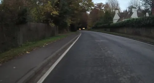
- Street-level photo, jpennycook, CC BY-SA 4.0
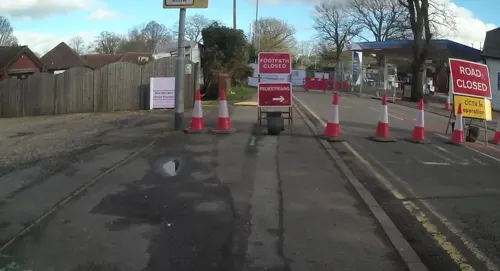
- Street-level photo, jpennycook, CC BY-SA 4.0
- Street-level photo, jpennycook, CC BY-SA 4.0
- Street-level photo, jpennycook, CC BY-SA 4.0
- Street-level photo, jpennycook, CC BY-SA 4.0
- Street-level photo, jpennycook, CC BY-SA 4.0
- Street-level photo, jpennycook, CC BY-SA 4.0
- Street-level photo, jpennycook, CC BY-SA 4.0
- Street-level photo, darbymark, CC BY-SA 4.0
- Street-level photo, cicisxn, CC BY-SA 4.0
- Street-level photo, jpennycook, CC BY-SA 4.0
- Street-level photo, jpennycook, CC BY-SA 4.0
- Street-level photo, jpennycook, CC BY-SA 4.0
- Street-level photo, jpennycook, CC BY-SA 4.0
- Street-level photo, jpennycook, CC BY-SA 4.0
- Street-level photo, cicisxn, CC BY-SA 4.0
- Street-level photo, jpennycook, CC BY-SA 4.0
- Street-level photo, jpennycook, CC BY-SA 4.0
Page built November 10, 2026. Spotted a mistake? Tell us or suggest a place.