


Why visit Flexbury
Townapedia lists 8 museums and landmarks, 20 parks and trails, 39 places to eat, 25 places to stay and 2 attractions in and around town.
Highlights include Sandymouth Beach, Bude Tunnel, The Storm Tower and Maer Lake.
Weather in Flexbury
Forecast from MET Norway (CC BY 4.0). Full forecast
About Flexbury
Flexbury is a village about 0.8 miles from Bude, in the civil parish of Bude–Stratton, north Cornwall, England. Described as a hamlet in 1887, residential properties have since been built to the coast at Crooklets beach. In 2018 it had an estimated population of 2290.
From the Wikipedia article Flexbury (this version), under CC BY-SA 4.0.
Things to do2

Sandymouth Beach
Beach · 1.8 mi
Sandy beach in Kilkhampton, Cornwall, England, UK

Museums and landmarks8




Parks, trails and playgrounds20




8 more on the map.
Restaurants and cafes39
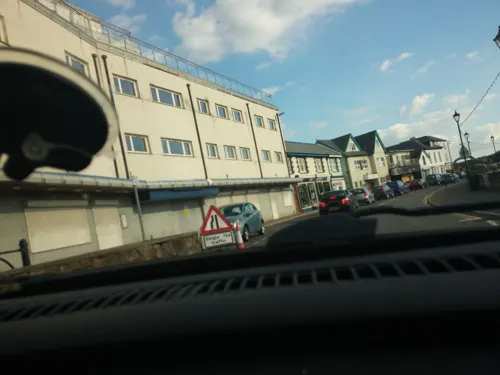
Silver River Chinese takeaway
Restaurant · Chinese · 0.5 mi
20 The Strand, Bude
Tu-Su 17:00-22:00
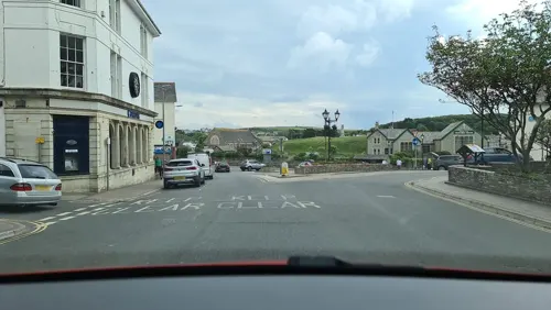
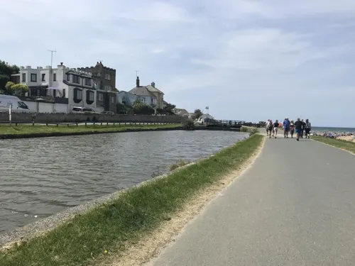
The Barge
Cafe · Cake, Coffee Shop, Hotdog, Ice Cream, Sandwich, Tea · 0.5 mi
Mo-Sa 09:00-17:00; Su 10:00-17:00
La Bocca
Restaurant · Italian, Pizza · 0.5 mi
23 The Strand, Bude
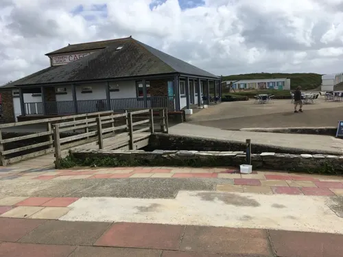
The Lock Gates Tea Room
Cafe · Cake, Sandwich, Breakfast · 0.5 mi
We-Su 10:00-16:00


27 more on the map.
History
The name "Flexbury" may mean "Felix’s earthwork". In 1887 it was described as a ″hamlet and seat, near Bude Haven″. Flexbury Park Methodist Church, opened in 1905 and is a grade II listed building. The church closed in 2008 and is now a residential property.
Flexbury has a history of flooding which was addressed by the Flexbury flood alleviation scheme.
From the History section of Flexbury on Wikipedia, under CC BY-SA 4.0.
Where to stay25
Churches and places of worship13
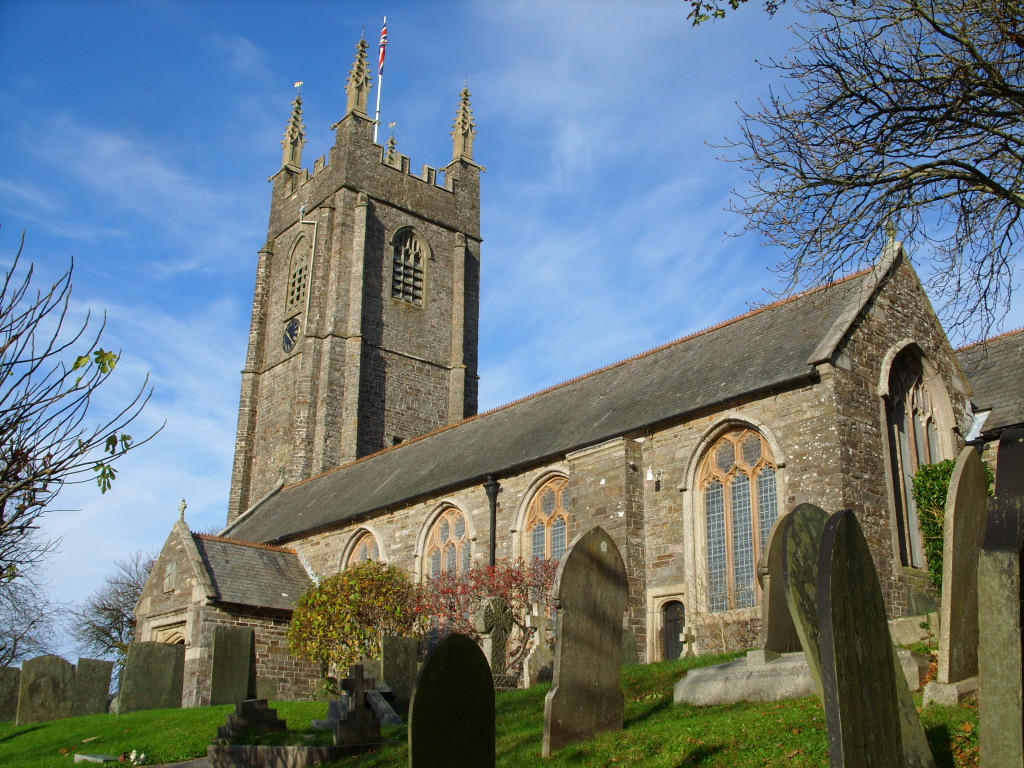
Saint Andrews Church
Church · Anglican · 1.4 mi
Diddies Road, Stratton
Shopping22
Gas and EV charging1
Schools, colleges and libraries5
Healthcare3
Map of Flexbury
138 places. The map loads OpenStreetMap tiles when you open it.
Getting there and nearby towns
Cornwall Airport Newquay (NQY) is the nearest airport with scheduled flights listed in OpenStreetMap, 34 miles away.
- Tintagel 15 mi southwest, about 24 min by car
- Camelford 16 mi south, about 26 min by car
- Delabole 17 mi southwest, about 27 min by car
- Lifton 18 mi southeast, about 28 min by car
- Bideford 19 mi northeast, about 31 min by car
- Appledore 21 mi northeast, about 34 min by car
- Hatherleigh 21 mi east, about 33 min by car
- Bodmin 26 mi south, about 42 min by car
- Tavistock 26 mi southeast, about 42 min by car
- Barnstaple 27 mi northeast, about 44 min by car
Drive times are estimates from straight-line distance, not routes.
Towns near Flexbury


Keep exploring
Local news
Headlines from INDB.
Reviews, tips and questions
Loading what members have shared...
Sources and licences
- GeoNames (CC BY 4.0): population, coordinates, regions and time zone
- Mapillary (see each image): photos
- OpenStreetMap contributors (ODbL 1.0): places, airports, map data
- Wikidata (CC0 1.0): elevation, founding date, time zone, website, landmarks and historic places
- Wikimedia Commons (see each image): photos
- Wikipedia (CC BY-SA 4.0): overview and history text
Photo credits
- Strattonchurch, Talskiddy at English Wikipedia, CC BY 3.0
- Storm Tower, Compass Point. - panoramio, Robert Powell, CC BY-SA 3.0
- Bude Tunnel, Ian Hughes, CC BY 2.0
- Beach Huts on Crooklets Beach - panoramio, Matt Prosser, CC BY-SA 3.0
- Street-level photo, hobgoblin, CC BY-SA 4.0
- Street-level photo, miguel_andrade, CC BY-SA 4.0
- Street-level photo, geow, CC BY-SA 4.0
- Street-level photo, miguel_andrade, CC BY-SA 4.0
- Street-level photo, danielgwj, CC BY-SA 4.0
- Street-level photo, alexanderar, CC BY-SA 4.0
- Street-level photo, alexanderar, CC BY-SA 4.0
- Street-level photo, miguel_andrade, CC BY-SA 4.0
- Street-level photo, hobgoblin, CC BY-SA 4.0
- Street-level photo, alexanderar, CC BY-SA 4.0
- Street-level photo, miguel_andrade, CC BY-SA 4.0
- Street-level photo, miguel_andrade, CC BY-SA 4.0
- Street-level photo, alexanderar, CC BY-SA 4.0
- Street-level photo, miguel_andrade, CC BY-SA 4.0
- Street-level photo, danielgwj, CC BY-SA 4.0
- Street-level photo, alexanderar, CC BY-SA 4.0
- Street-level photo, WaggyDog, CC BY-SA 4.0
Page built November 10, 2026. Spotted a mistake? Tell us or suggest a place.