


Appledore, United Kingdom
Appledore is a town of 2,161 people in England, United Kingdom.
Why visit Appledore
Townapedia lists 8 museums and landmarks, 11 parks and trails, 20 places to eat, 6 places to stay and 9 attractions in and around town.
Highlights include Bideford Long Bridge, Instow Rear Lighthouse, North Devon Maritime Museum and Bideford Railway Heritage Centre.
Weather in Appledore
Forecast from MET Norway (CC BY 4.0). Full forecast
About Appledore
Appledore is a village at the mouth of the River Torridge, about 6 miles (10 km) west of Barnstaple and about 3 miles (5 km) north of Bideford in the county Devon, England. It is the home of Appledore Shipbuilders, a lifeboat slipway and Hocking's Ice Cream, a brand of ice cream only sold in North Devon. There are numerous shops, cafes and galleries. The local football club is Appledore F.C.
From the Wikipedia article Appledore, Torridge (this version), under CC BY-SA 4.0.
Things to do9

Bideford Long Bridge
Bridge · 2.3 mi
Grade I listed building in Bideford, Devon, England
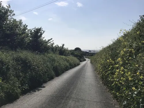
Instow Rear Lighthouse
Lighthouse · 1.3 mi
Lighthouse in North Devon, England
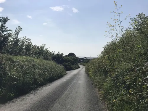

Crow Point Lighthouse
Lighthouse · 1.2 mi
Lighthouse in North Devon, England
Instow Front Lighthouse
Lighthouse · 1.2 mi
Lighthouse in North Devon, England

The Big Sheep
Monument and historic site · 3.0 mi
Amusement park in Southern England
Museums and landmarks8


Bideford Railway Heritage Centre
Museum · 2.4 mi
Heritage centre in the UK

Burton at Bideford
Museum · 2.0 mi
Art gallery and museum in Bideford, England
Parks, trails and playgrounds11




Restaurants and cafes20
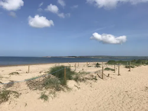
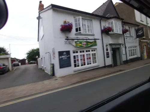
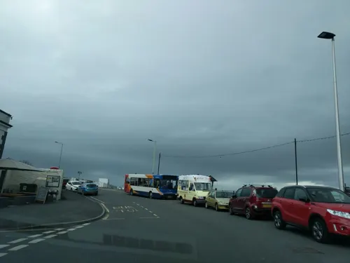
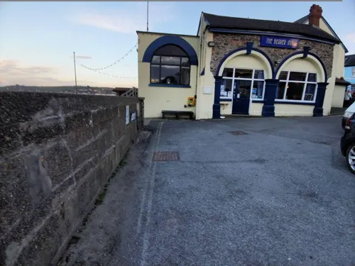
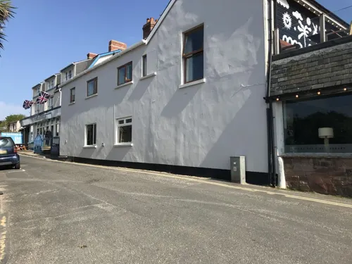

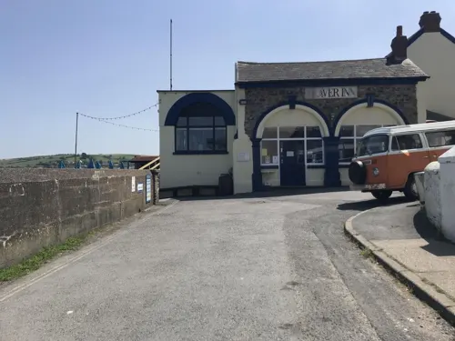
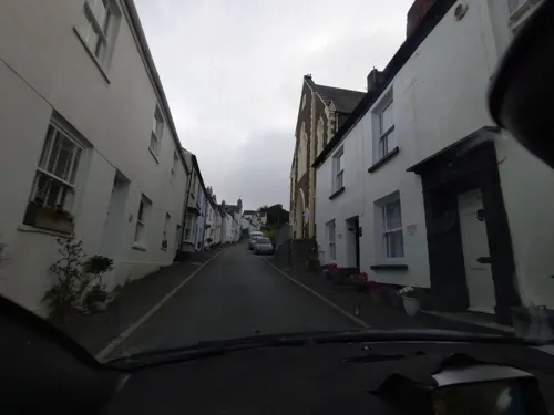
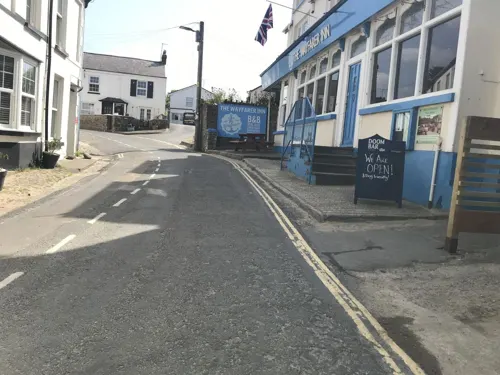

8 more on the map.
History
Appledore is not mentioned in the Domesday Book of 1086 (though it mentions two other, smaller, Appledores in Devon). Its earliest recorded name, in 1335, is le Apildore in the manor of Northam.
There was a Saxon settlement, but the Devon historian WG Hoskins says of the local legend that it was the site of a Viking raid in 878 AD, 'there is no authority for this identification'.
The settlement prospered as a port in the Elizabethan period, and some cottages date from this period. The construction of a quay in 1845 further developed the port, and as a result Appledore has a rich maritime heritage from the second half of the 19th century. The painter Edward Calvert was born there in 1799. Shipowner Sir William Reardon Smith was born in Appledore and went to the Wesleyan school there. The population in the 1841 census was 2,174 inhabitants.
The Richmond Dry Dock was built in 1856 by William Yeo and named after Richmond Bay in Prince Edward Island, where the Yeo family's shipping fleet was based. From 1882 until the 1930s it was owned by Robert Cook, and continued in use until the 1960s. It is a Grade II* listed building. There is a maritime museum in the village chronicling the history of shipbuilding and seafaring in the village.
Read more of the history
A lifeboat service for the area around the mouth of the River Taw was introduced in February 1825. The boat was kept in the King's Watch House at Appledore for six years until a new boat house was built at Watertown, half a mile nearer the sea. From 1848 a second lifeboat was stationed at Braunton Burrows on the opposite side of the estuary but its crew always came from Appledore. A third station was built at Northam Burrows to the west of Appledore in 1851 and the Appledore boat moved there. A new station at Badsteps allowed Northam Burrows to close in 1889 and Braunton Burrows closed in 1918 as it was difficult to find men and horses to launch the boat. Appledore Lifeboat Station was rebuilt in 2001 and is home to an inshore lifeboat; a larger all-weather Tamar class boat is kept moored just off shore.
From the History section of Appledore, Torridge on Wikipedia, under CC BY-SA 4.0.
Notable people from Appledore
 William Tatem, 1st Baron GlanelyBritish racehorse owner (1868-1942)Photo: Internet Archive Book Images, No restrictions
 William Reardon SmithBritish shipownerPhoto: 14GTR, CC BY-SA 4.0
- Edward CalvertBritish artist (1799-1883)
- Sheila StewartBritish writer
Born in Appledore, according to Wikidata (CC0). Each name links to its Wikipedia article.
Where to stay6
Churches and places of worship12
Shopping7
Schools, colleges and libraries5
Map of Appledore
78 places. The map loads OpenStreetMap tiles when you open it.
Getting there and nearby towns
Swansea Airport (SWS) is the nearest airport with scheduled flights listed in OpenStreetMap, 39 miles away.
- Bideford 2 mi south, about 4 min by car
- Barnstaple 7 mi east, about 10 min by car
- Ilfracombe 12 mi north, about 19 min by car
- Hatherleigh 17 mi south, about 27 min by car
- Winkleigh 17 mi southeast, about 28 min by car
- Chulmleigh 17 mi southeast, about 28 min by car
- Lynton 20 mi northeast, about 32 min by car
- North Tawton 22 mi southeast, about 35 min by car
- Tiverton 32 mi east, about 52 min by car
- Exeter 37 mi southeast, about 1 h by car
Drive times are estimates from straight-line distance, not routes.
Towns near Appledore


Keep exploring
Local news
Headlines from INDB.
Reviews, tips and questions
Loading what members have shared...
Sources and licences
- GeoNames (CC BY 4.0): population, coordinates, regions and time zone
- Mapillary (see each image): photos
- OpenStreetMap contributors (ODbL 1.0): places, airports, map data
- Wikidata (CC0 1.0): elevation, founding date, time zone, website, landmarks and historic places
- Wikimedia Commons (see each image): photos
- Wikipedia (CC BY-SA 4.0): overview and history text
Photo credits
- Appledore quay 800, Sannse at English Wikipedia, CC BY-SA 3.0
- Bideford long bridge pan 1200, Sannse at English Wikipedia, CC BY-SA 3.0
- Burton at Bideford front 2017, User:Jack1956, CC0
- St Marys church Appledore, Rodw, Public domain
- All Saints Chapel, Instow, Ethan Doyle White, CC BY-SA 4.0
- Northam Church by Roger A Smith, Roger A Smith, CC BY-SA 2.0
- The Champion of Wales, now renamed as "The Champ" Appledore, Steven Manning, CC BY-SA 4.0
- Bideford-signalbox, Martin Bodman, CC BY-SA 2.0
- North Devon Maritime Museum, Ethan Doyle White, CC BY-SA 4.0
- Street-level photo, WaggyDog, CC BY-SA 4.0
- Street-level photo, WaggyDog, CC BY-SA 4.0
- Street-level photo, adam2, CC BY-SA 4.0
- Street-level photo, WaggyDog, CC BY-SA 4.0
- Street-level photo, miguel_andrade, CC BY-SA 4.0
- Street-level photo, adam2, CC BY-SA 4.0
- Street-level photo, WaggyDog, CC BY-SA 4.0
- Street-level photo, adam2, CC BY-SA 4.0
- Street-level photo, WaggyDog, CC BY-SA 4.0
- Street-level photo, miguel_andrade, CC BY-SA 4.0
- Street-level photo, miguel_andrade, CC BY-SA 4.0
- Street-level photo, miguel_andrade, CC BY-SA 4.0
- Street-level photo, WaggyDog, CC BY-SA 4.0
- Street-level photo, miguel_andrade, CC BY-SA 4.0
- Street-level photo, miguel_andrade, CC BY-SA 4.0
- Street-level photo, adam2, CC BY-SA 4.0
- Street-level photo, WaggyDog, CC BY-SA 4.0
- Street-level photo, miguel_andrade, CC BY-SA 4.0
- Street-level photo, adam2, CC BY-SA 4.0
- Street-level photo, WaggyDog, CC BY-SA 4.0
- Street-level photo, cyclestreets, CC BY-SA 4.0
- Street-level photo, adam2, CC BY-SA 4.0
- Street-level photo, WaggyDog, CC BY-SA 4.0
- Street-level photo, WaggyDog, CC BY-SA 4.0
Page built November 10, 2026. Spotted a mistake? Tell us or suggest a place.