


Why visit Tintagel
Townapedia lists 15 museums and landmarks, 3 parks and trails, 24 places to eat, 14 places to stay and 3 attractions in and around town.
Highlights include St Nectan's Kieve, Tintagel Haven, King Arthur's Great Halls and Tintagel Old Post Office.
Weather in Tintagel
Forecast from MET Norway (CC BY 4.0). Full forecast
About Tintagel
Tintagel () or Trevena (Cornish: Tre war Venydh, meaning Village on a Mountain) is a civil parish and village situated on the Atlantic coast of Cornwall, England, United Kingdom. The village and nearby Tintagel Castle are associated with the legends surrounding King Arthur and in recent times have become a tourist attraction. It was claimed by Geoffrey of Monmouth that the castle was the place of Arthur's conception.
From the Wikipedia article Tintagel (this version), under CC BY-SA 4.0.
Travel tips from other travellers: Tintagel on Wikivoyage (CC BY-SA 4.0).
Photos of Tintagel


Things to do3

St Nectan's Kieve
Waterfall · 1.8 mi
Waterfall and pool near Tintagel, Cornwall

Tintagel Haven
Beach · 0.5 mi
Section of coastline in Northern Cornwall, UK

Museums and landmarks15


Museum of Witchcraft and Magic
Museum · 3.1 mi
Museum established in Windsor, Berkshire, in 1954 and relocated to Cornwall, England in 1960
North Cornwall Museum and Art Gallery
Museum · 4.2 mi
Privately owned local museum and art gallery

Round called Castle Goff
Monument and historic site · 4.0 mi
Archaeological site in Cornwall, England, UK
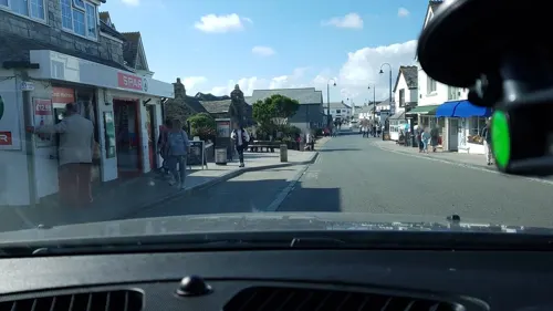
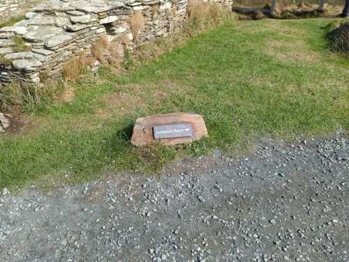


3 more on the map.
Parks, trails and playgrounds3


Restaurants and cafes24
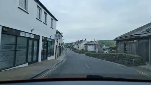
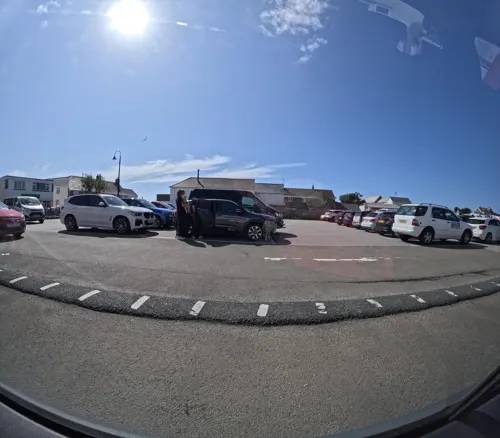


The Crossbow
Restaurant
Mo,Tu 09:30-14:30; Fr 09:30-14:30,17:30-20:00; Sa 10:30-14:30




12 more on the map.
History
A small cliff castle was established at Bossiney in Norman times, probably before the Domesday Survey of 1086. In Domesday Book, there are certainly two manors in this parish, a probable third being Trethevy.
Bossiney and Trevena were established as a borough in 1253 by Richard, 1st Earl of Cornwall. Bossiney, which included Trevena, was held from the monks of Bodmin by the Earl of Cornwall. There was land for six ploughs and 30 acres (750 acres; 300 ha) of pasture. Before the Conquest, it had been held from the monks by Alfwy. The monks of Bodmin held Treknow themselves. There was land for eight ploughs and 100 acres (1,060 acres; 430 ha) of pasture. Tintagel was one of the 17 Antiqua maneria of the Duchy of Cornwall. The parish feast traditionally celebrated at Tintagel was 19 October, the feast day of St Denys, patron of the chapel at Trevena. The proper date is 9 October, but the feast was moved forward due to the calendar reform of 1752. The market hall and the site of the fair were near the chapel. Tintagel (Trevena) declined towards the end of the medieval period for it was ill-equipped to take up fishing as an alternative occupation. Paradoxically it now enjoys a temporary prosperity as a result of tourist interest in the castle which was converted so romantically by Geoffrey of Monmouth into an ancient residence of King Arthur.
Read more of the history
The Tithe Commissioners' survey was carried out in 1840–41 and recorded the area of the parish as 4,280 acres (1,730 ha), of which arable and pasture land was 3,200 acres (1,300 ha). The land owned by the largest landowner, Lord Wharncliffe, amounted to 1,814 acres (734 ha), and there was 125 acres (51 ha) of glebe land. Precise details of the size and tenure of every piece of land are given. Sidney Madge did research into the history of the parish and compiled a manuscript Records of Tintagel in 1945. The villages of Trevena and Bossiney were until the early 20th century separated by fields along Bossiney Road.
Trebarwith was the scene of the shipwreck of the Sarah Anderson in 1886, where all aboard perished, but the most famous of the wrecks happened on 20 December 1893 at Lye Rock, when the barque Iota was driven against the cliff. The crew were able to get onto the rock and, apart from a youth of 14, were saved by four men, three of which were from Tintagel. One of these, Charles Hambly, received a Vellum testimonial and three medals for bravery afterwards. The story is told in verse by Joseph Brown in his 1897 poem Musings on Tintagel and its Heroes. The youth was buried in Tintagel Churchyard and the grave is marked by a wooden cross. His name is given in the bureaucratic Italian usage, surname first: Catanese Domenico. On 6 July 1979, Tintagel was briefly subject to national attention when an RAF Hawker Hunter fighter aircraft crashed into the village following an engine malfunction. The unusual incident caused significant damage and consternation, but no deaths.
The borough of Bossiney was given the right to send two MPs to Parliament c. 1552 and continued to do so until 1832 when its status as a borough was abolished. For the purposes of local government, Tintagel is currently a civil parish and councillors are elected every four years. The principal local authority in this area is Cornwall Council, but until March 2009 the parish was in the area of North Cornwall District Council. Parish council minutes can be found on Tintagel Web. From 1894 to 1974, the parish was in the Camelford Rural District.
From the History section of Tintagel on Wikipedia, under CC BY-SA 4.0.
More about Tintagel
Geography
The coastline around Tintagel is significant because it is composed of old Devonian slate; about a mile southwards from Tintagel towards Treknow the coastline was quarried extensively for this hard-wearing roofing surface. Quarries inland at Trebarwith and Trevillet continued to be worked until the mid-20th century. Apart from the island headlands on the coast include Willapark and Start Point.
The turquoise green water around this coast is caused by the slate/sand around Tintagel which contains elements of copper: strong sunlight turns the water a light turquoise green colour in warm weather. The rocks contain various metal ores in small amounts: a few of these were mined in the Victorian period.
Though very near the coast the hill of Condolden (or Kingsdown) is among the very few areas in Cornwall outside Bodmin Moor which exceeds 1000 feet. At Trethevy is the waterfall known as St Nectan's Kieve in a wooded valley. The beach at Bossiney Haven is close by and Trebarwith Strand, just half an hour's walk south of Tintagel, is one of Cornwall's finer beaches, boasting clear seas, golden sands, and superb surf. There is also a small beach at Tintagel Haven immediately north of the castle, as well as a cave known as Merlin's Cave under the castle. A stream called the Trerammett River flows from Treven to Tintagel Haven.
From the Wikipedia article Tintagel, under CC BY-SA 4.0.
Notable people from Tintagel
- Harry Cannfootballer (1905-1980)
Born in Tintagel, according to Wikidata (CC0). Each name links to its Wikipedia article.
Where to stay14
Churches and places of worship13
Shopping20
Gas and EV charging1
Schools, colleges and libraries1
Healthcare1
Map of Tintagel
95 places. The map loads OpenStreetMap tiles when you open it.
Getting there and nearby towns
Cornwall Airport Newquay (NQY) is the nearest airport with scheduled flights listed in OpenStreetMap, 19 miles away.
- Bodmin 13 mi south, about 21 min by car
- St Austell 22 mi south, about 36 min by car
- Newquay 22 mi southwest, about 36 min by car
- Tavistock 28 mi east, about 45 min by car
- Saltash 29 mi southeast, about 47 min by car
- Truro 31 mi southwest, about 49 min by car
- Plymouth 33 mi southeast, about 54 min by car
- Bideford 34 mi northeast, about 55 min by car
- Redruth 36 mi southwest, about 58 min by car
- Plymstock 36 mi southeast, about 58 min by car
Drive times are estimates from straight-line distance, not routes.
Towns near Tintagel


Keep exploring
Local news
Headlines from INDB.
Reviews, tips and questions
Loading what members have shared...
Sources and licences
- GeoNames (CC BY 4.0): population, coordinates, regions and time zone
- Mapillary (see each image): photos
- OpenStreetMap contributors (ODbL 1.0): places, airports, map data
- Wikidata (CC0 1.0): elevation, founding date, time zone, website, landmarks and historic places
- Wikimedia Commons (see each image): photos
- Wikipedia (CC BY-SA 4.0): overview and history text
Photo credits
- RemainsofTintagel, Unknown author, Public domain
- Old Post Office, Tintagel. - panoramio, Bob&Anne Powell, CC BY-SA 3.0
- Tintagel post office, Herbythyme, CC BY-SA 3.0
- Tintagel - Tintagel Old Post Office - 20230717111412, PMLongman, CC BY-SA 4.0
- St Nectan's Kieve-8684, Raimond Spekking, CC BY-SA 4.0
- Tintagel in north Cornwall - aerial image (29868958812), John Fielding from Norwich, UK, CC BY 2.0
- Tintagel Old Post Office, Zaian at English Wikipedia, Public domain
- Tintagel Ruins - Mainland Courtyard 01, Rawac, CC BY-SA 3.0
- Boscastle-20040414-MoW, JUweL, CC BY-SA 3.0
- Lanteglos DSC 8710A, Dietrich Krieger, CC BY-SA 3.0
- Minster Church DSC 9344, Dietrich Krieger, CC BY-SA 3.0
- St Piran's Church, Trethevey (5523), Nilfanion, CC BY-SA 4.0
- Tintagel church 1, Herbythyme, CC BY-SA 4.0
- Bossiney Haven panorama, Dsgreat3, CC BY-SA 3.0
- Camelot Castle Hotel in Tintagel aerial view (29883687201), John Fielding from Norwich, UK, CC BY 2.0
- On Lookout (Unsplash), Matt Cannon cannonmatt, CC0
- Spring has sprung (Unsplash), Matt Cannon cannonmatt, CC0
- Ruins of Trevalga Mill, Happinessbird, CC BY-SA 4.0
- Street-level photo, alexanderar, CC BY-SA 4.0
- Street-level photo, miguel_andrade, CC BY-SA 4.0
- Street-level photo, miguel_andrade, CC BY-SA 4.0
- Street-level photo, alexanderar, CC BY-SA 4.0
- Street-level photo, miguel_andrade, CC BY-SA 4.0
- Street-level photo, WaggyDog, CC BY-SA 4.0
- Street-level photo, alexanderar, CC BY-SA 4.0
- Street-level photo, themadcabbie, CC BY-SA 4.0
- Street-level photo, rob, CC BY-SA 4.0
- Street-level photo, themadcabbie, CC BY-SA 4.0
- Street-level photo, themadcabbie, CC BY-SA 4.0
- Street-level photo, alexanderar, CC BY-SA 4.0
- Street-level photo, hobgoblin, CC BY-SA 4.0
- Street-level photo, hobgoblin, CC BY-SA 4.0
- Street-level photo, themadcabbie, CC BY-SA 4.0
- Street-level photo, treestryder, CC BY-SA 4.0
- Street-level photo, themadcabbie, CC BY-SA 4.0
- Street-level photo, rob, CC BY-SA 4.0
- Street-level photo, miguel_andrade, CC BY-SA 4.0
- Street-level photo, WaggyDog, CC BY-SA 4.0
- Street-level photo, alexanderar, CC BY-SA 4.0
- Street-level photo, treestryder, CC BY-SA 4.0
- Street-level photo, treestryder, CC BY-SA 4.0


Page built November 10, 2026. Spotted a mistake? Tell us or suggest a place.