


Hatherleigh, United Kingdom
Hatherleigh is a town of 1,518 people in England, United Kingdom.
Why visit Hatherleigh
Townapedia lists 3 museums and landmarks, 4 places to eat and 3 places to stay in and around town.
Highlights include Hatherleigh Station and Made-Well.
Weather in Hatherleigh
Forecast from MET Norway (CC BY 4.0). Full forecast
About Hatherleigh
Hatherleigh is a market town in the West Devon district, in the county of Devon, England. It is situated near the River Lew, approximately 35 miles (56 km) north-northeast of Plymouth, 24 miles (39 km) west-northwest of Exeter, and 6 miles (9.7 km) north-northwest of Okehampton. It had a population of 1,902 at the 2021 census, making it the smallest town in Devon.
From the Wikipedia article Hatherleigh (this version), under CC BY-SA 4.0.
Museums and landmarks3

Made-Well
Monument and historic site · 0.8 mi
Station Road, Okehampton
Mo-Sa 09:00-16:00; Su 09:00-15:00
Restaurants and cafes4

The George
Bar and pub
5 Market Street, Okehampton
Mo-Th 12:00-23:00; Fr,Sa 12:00-24:00; Su 12:00-20:00
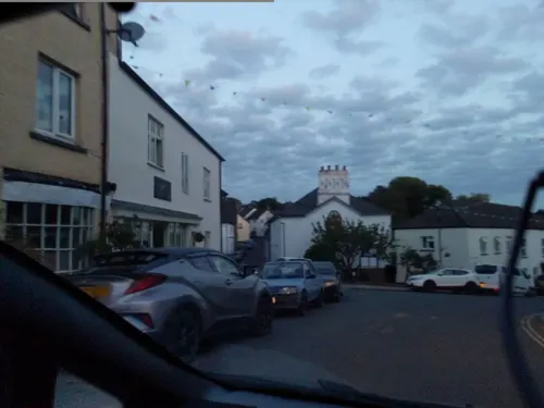
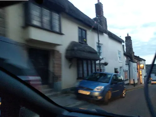

Hatherleigh Fish Bar
Fast food
9 Bridge Street, Okehampton
Tu-Sa 17:00-22:00, Tu 11:30-14:00
Where to stay3
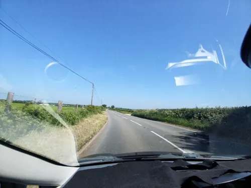

Passaford Meadow Campsite
Campground · 0.5 mi
One acre level field, off grid, compost toilets, hot showers, 10 minutes walk from town, close to multiple cycle routes (Route 27 Devon...
Passaford Lane, Hatherleigh

Churches and places of worship3


Church of St James
Church · 2.9 mi
Church in Iddesleigh, Devon, England, UK
History
An impressive obelisk one mile (1.6 km) east of the town commemorates Lt Col. William Morris (d. 1858 in India): it was built in 1860.
Hatherleigh was the beginning of the 7th stage of the Tour of Britain in September 2009 and record numbers turned out to watch the famous race begin. Hatherleigh had often been on the course of the Tour but this was the first time a stage had started in the town.
Hatherleigh saw the Olympic torch pass through the town on 21 May 2012.
From the History section of Hatherleigh on Wikipedia, under CC BY-SA 4.0.
More about Hatherleigh
Economy
Hatherleigh is home to two pubs, The Tally Ho and The George. The George was burned down in an arson attack on 23 December 2008 and has subsequently been rebuilt and re-opened in 2010. More than 100 firefighters from across the county were drafted in to help fight the blaze which was still burning well into the early hours of Christmas Eve. Hatherleigh also has a cafe, two hairdressers, craft shops, a beauty salon, a butcher, a newsagency, a vets, medical centre, a convenience shop and a petrol station.
The parish church is dedicated to St John the Baptist and has a western tower topped by a shingled spire. The spire was destroyed in the Burns' Day Storm of 1990 and a replica of the original now stands in its place. The nave and aisles are divided by granite arcades. The font is Norman and the original wagon roofs remain. Since 2024, a disused vestry in the church grounds has housed a gymnasium.
From the Wikipedia article Hatherleigh, under CC BY-SA 4.0.
Notable people from Hatherleigh
 Anna Josepha KingAustralian settlerPhoto: Unknown author Unknown author, Public domain
Born in Hatherleigh, according to Wikidata (CC0). Each name links to its Wikipedia article.
Shopping1
Gas and EV charging1
Schools, colleges and libraries1
Map of Hatherleigh
16 places. The map loads OpenStreetMap tiles when you open it.
Getting there and nearby towns
Exeter Airport (EXT) is the nearest airport with scheduled flights listed in OpenStreetMap, 29 miles away.
- Winkleigh 6 mi northeast, about 10 min by car
- North Tawton 8 mi east, about 13 min by car
- Chulmleigh 11 mi northeast, about 17 min by car
- Chagford 14 mi southeast, about 23 min by car
- Bideford 15 mi northwest, about 24 min by car
- Lifton 15 mi southwest, about 25 min by car
- Moretonhampstead 17 mi southeast, about 28 min by car
- Barnstaple 18 mi north, about 29 min by car
- Tavistock 19 mi south, about 31 min by car
- Exeter 25 mi east, about 40 min by car
Drive times are estimates from straight-line distance, not routes.
Towns near Hatherleigh


Keep exploring
Local news
Headlines from INDB.
Reviews, tips and questions
Loading what members have shared...
Sources and licences
- GeoNames (CC BY 4.0): population, coordinates, regions and time zone
- Mapillary (see each image): photos
- OpenStreetMap contributors (ODbL 1.0): places, airports, map data
- Wikidata (CC0 1.0): elevation, founding date, time zone, website, landmarks and historic places
- Wikimedia Commons (see each image): photos
- Wikipedia (CC BY-SA 4.0): overview and history text
Photo credits
- Churchyard, Hatherleigh, Derek Harper, CC BY-SA 2.0
- Church of St. John The Baptist, Hatherleigh. - panoramio, Robert Powell, CC BY-SA 3.0
- George Inn, Hatherleigh, Nilfanion, CC BY-SA 3.0
- . . In Market Street. - panoramio, Jane White, CC BY-SA 3.0
- St. John The Baptist, Hatherleigh. Interior. - panoramio, Robert Powell, CC BY-SA 3.0
- Street-level photo, WaggyDog, CC BY-SA 4.0
- Street-level photo, WaggyDog, CC BY-SA 4.0
- Street-level photo, WaggyDog, CC BY-SA 4.0
- Street-level photo, WaggyDog, CC BY-SA 4.0
- Street-level photo, WaggyDog, CC BY-SA 4.0
Page built November 10, 2026. Spotted a mistake? Tell us or suggest a place.