


Fochabers, United Kingdom
Fochabers is a town of 1,690 people in Scotland, United Kingdom.
Why visit Fochabers
Townapedia lists 13 museums and landmarks, 4 places to eat, 3 places to stay and 1 attraction in and around town.
Highlights include Fochabers Bridge, Bellie and Gordon Castle.
Weather in Fochabers
Forecast from MET Norway (CC BY 4.0). Full forecast
About Fochabers
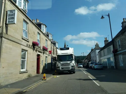
Fochabers (; Scottish Gaelic: Fachabair or Fothabair) is a village in the Parish of Bellie, in Moray, Scotland, 10 miles (16 km) east of the cathedral city of Elgin and located on the east bank of the River Spey. 1,728 people live in the village, which enjoys a rich musical and cultural history. The village is also home to Baxters, the family-run manufacturer of foodstuffs.
From the Wikipedia article Fochabers (this version), under CC BY-SA 4.0.
Things to do1
Museums and landmarks13
Bellie
Monument and historic site · 2.0 mi
Archaeological site in Moray, Scotland, UK


1 more on the map.
Restaurants and cafes4
Where to stay3

More about Fochabers
Education
There are two schools in Fochabers, Milne's Primary School (formerly Milne's Institution) and Milne's High School, which currently serves approximately 300 pupils from Fochabers itself and the surrounding villages and farms. Milne's Institution was originally built in 1846, in accordance with Alexander Milne's Last Will and Testament, using £20,000 (~£2,700,000 today) he left for this purpose.
From the Wikipedia article Fochabers, under CC BY-SA 4.0.
Notable people from Fochabers
 William MarshallScottish composer (1748-1833)Photo: John Moir, Public domain
 Arthur Robertson CushnyScottish pharmacologist and physiologist (1866–1926)Photo: Moffat, CC BY 4.0
 Alexander MilneAmerican businessmanPhoto: Ann Harrison, CC BY-SA 2.0
Born in Fochabers, according to Wikidata (CC0). Each name links to its Wikipedia article.
Churches and places of worship8
Shopping2
Gas and EV charging1
Schools, colleges and libraries3
Healthcare1
Map of Fochabers
36 places. The map loads OpenStreetMap tiles when you open it.
Getting there and nearby towns
RAF Lossiemouth (LMO) is the nearest airport with scheduled flights listed in OpenStreetMap, 11 miles away.
- Rothes 7 mi southwest, about 12 min by car
- Elgin 8 mi west, about 14 min by car
- Portsoy 16 mi east, about 26 min by car
- Nairn 29 mi west, about 47 min by car
- Inverurie 35 mi southeast, about 57 min by car
- Fraserburgh 40 mi east, about 1 h by car
- Ellon 42 mi southeast, about 1 h by car
- Inverness 43 mi west, about 1 h 15 min by car
- Westhill 44 mi southeast, about 1 h 15 min by car
- Aberdeen 49 mi southeast, about 1 h 15 min by car
Drive times are estimates from straight-line distance, not routes.
Towns near Fochabers


Keep exploring
Local news
Headlines from INDB.
Reviews, tips and questions
Loading what members have shared...
Sources and licences
- GeoNames (CC BY 4.0): population, coordinates, regions and time zone
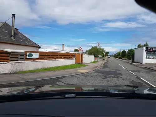
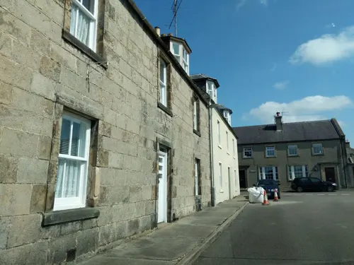
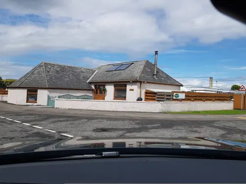
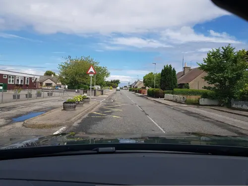
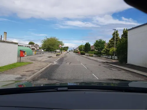
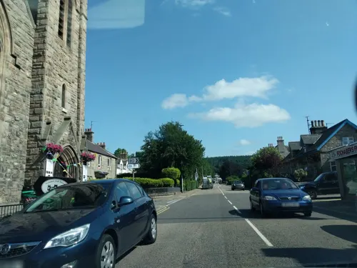
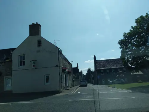
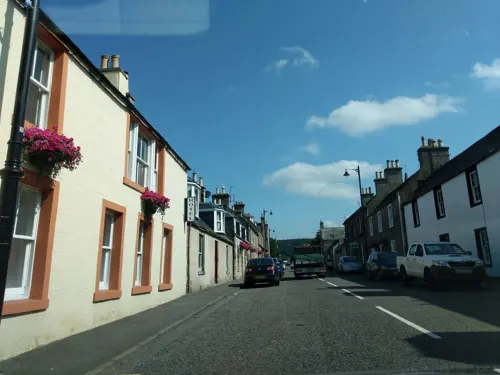
- Mapillary (see each image): photos
- OpenStreetMap contributors (ODbL 1.0): places, airports, map data
- Wikidata (CC0 1.0): elevation, founding date, time zone, website, landmarks and historic places
- Wikimedia Commons (see each image): photos
- Wikipedia (CC BY-SA 4.0): overview and history text
Photo credits
- Fochabers and the Spey, Qeqertaq, CC BY-SA 3.0
- Gordon Castle, Anne Burgess, CC BY-SA 2.0
- Milnes High School Fochabers, Lucas Kendall, CC BY-SA 2.0
- Gordon Arms Hotel (8103585939), Glen Wallace from Inverness, Scotland, CC BY-SA 2.0
- Street-level photo, tallguy, CC BY-SA 4.0
- Street-level photo, ccbb7766, CC BY-SA 4.0
- Street-level photo, toho, CC BY-SA 4.0
- Street-level photo, tallguy, CC BY-SA 4.0
- Street-level photo, caz440, CC BY-SA 4.0
- Street-level photo, ccbb7766, CC BY-SA 4.0
- Street-level photo, ccbb7766, CC BY-SA 4.0
- Street-level photo, ccbb7766, CC BY-SA 4.0
- Street-level photo, ccbb7766, CC BY-SA 4.0
- Street-level photo, ccbb7766, CC BY-SA 4.0
- Street-level photo, ccbb7766, CC BY-SA 4.0
- Street-level photo, ccbb7766, CC BY-SA 4.0
- Street-level photo, toho, CC BY-SA 4.0
- Street-level photo, ccbb7766, CC BY-SA 4.0
- Street-level photo, toho, CC BY-SA 4.0
- Street-level photo, toho, CC BY-SA 4.0
- Street-level photo, ccbb7766, CC BY-SA 4.0
- Street-level photo, caz440, CC BY-SA 4.0
- Street-level photo, toho, CC BY-SA 4.0
- Street-level photo, toho, CC BY-SA 4.0
Page built November 10, 2026. Spotted a mistake? Tell us or suggest a place.