


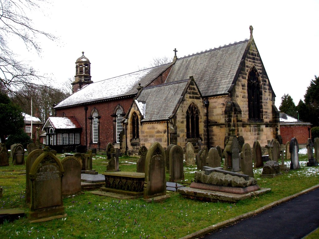


Why visit Formby
Townapedia lists 2 museums and landmarks, 5 parks and trails, 43 places to eat, 2 places to stay and 4 attractions in and around town.
Highlights include Formby Lighthouse, Formby Golf Club and Cabin Hill National Nature Reserve.
Weather in Formby
Forecast from MET Norway (CC BY 4.0). Full forecast
About Formby
Formby is a town and civil parish in the Metropolitan Borough of Sefton, Merseyside, England.
From the Wikipedia article Formby (this version), under CC BY-SA 4.0.
Travel tips from other travellers: Formby on Wikivoyage (CC BY-SA 4.0).
Things to do4



Museums and landmarks2

Parks, trails and playgrounds5



Restaurants and cafes43
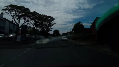
Queen's Road Social
Cafe · Coffee Shop, Breakfast, Sandwich · 0.5 mi
35 Queens Road, Formby
Mo-Th 08:00-17:00, Fr 08:00-20:00, Sa 08:00-17:00, Su 10:00-17:00
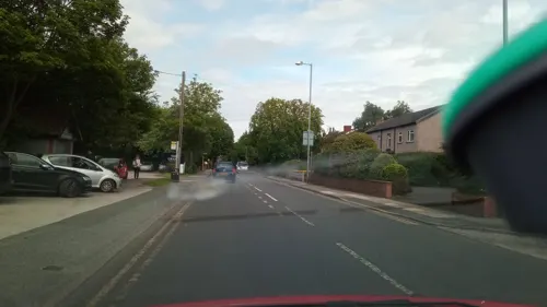
Grapes Hotel
Bar and pub · 0.7 mi
Ryeground Lane, Formby
Mo-Tu 12:00-22:00; We-Fr 12:00-23:00; Sa-Su 10:00-23:00
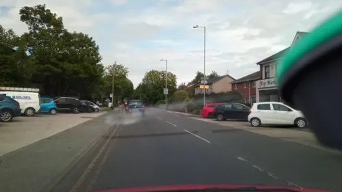
Himalayan Spice Nepalese Restaurant and Bar
Restaurant · Nepalese · 0.7 mi
126 Church Road, Formby
16:00-12:00
Beer Station
Bar and pub · 0.5 mi
3 Victoria Road, Formby
Mo-Th 15:00-21:00, Fr 14:00-22:00, Sa 12:00-22:00, Su 12:00-21:00
Kiosk Coffee
Cafe · Coffee Shop · 0.5 mi
Victoria Road, Formby
Mo-Sa 08:00-16:00, Su 08:30-16:00



31 more on the map.
History
Erosion of sand on the beach at Formby is revealing layers of mud and sediment, laid down in the late Mesolithic to the late Neolithic, approximately 8,000 – 5,000 years ago, and covered in the early Bronze Age. These sediments often contain the footprints of humans and animals (red deer, roe deer, wild boar, wolf, aurochs) and birds (oystercatcher, crane and other waders) from that period. In June 2016, over 50 human footprints from 7,000 years ago were uncovered on the beach.
The common place-name suffix -by is from the Scandinavian byr meaning "homestead", "settlement" or "village". The village of Formby was originally spelt Fornebei and means "the old settlement" or "village belonging to Forni". At that time Fornibiyum was also a well-known Norse family name. He could have been the leader of the invading expedition which took possession of this coast. Until its closure in 1998, Oslo Airport in Norway was situated in a town called Fornebu.
It was from Ireland in about 960 AD that these Norsemen or Vikings first came to the west coast of Lancashire, initially trading or raiding and then settling. Tradition says that the Viking invaders failed to defeat the native Anglo-Saxons on the coast of Formby, so they sailed inland, up the River Alt, and attacked from the rear.
Read more of the history
Formby Hall is a Grade II listed building dating back to 1223. It has traditionally been the home of the lords of the manor. Much of the land around it is now a golf course.
Formby Beach is the location of the first lifeboat station in the world. It is believed to have been established as early as 1776 by William Hutchinson, the Dock Master for the Liverpool Common Council. Although no exact record has been found, the boat used is believed to have been a 'Mersey Gig'. The last launch from the station took place in 1916. Remarkably, a film of this event survived. The foundations of the last of the lifeboat station buildings remain on the beach to this day. In 2016, the newly opened Wetherspoons pub in the town was named 'The Lifeboat' in honour of the original lifeboat station.
Formby is home to RAF Woodvale, a small RAF station to the north of the town. The airfield opened in 1941 and is a former Second World War fighter station with three active runways, the main runway being a mile in length. Today it is used by RAF for light aircraft and fighter training, as well as a few civilian aircraft. The station was also home to Merseyside Police's helicopter, known as 'Mike One'. The RAF station was also home to the last operational service of WWII fighter plane the Supermarine Spitfire. In 1957 the last Spitfire to fly operationally with British military markings took off from RAF Woodvale. Woodvale is also home to the Woodvale Rally, one of the biggest shows on an active MOD station in the North West.
From the History section of Formby on Wikipedia, under CC BY-SA 4.0.
More about Formby
Geography
Formby is a coastal town, with an area of roughly 7 sq miles (17 km2), located in the borough of Sefton. The town is built upon the west of a large flat area of land called the West Lancashire Coastal Plain. Formby's highest point is within the sand dunes that separate the Irish Sea from Formby. However, these sand dunes are ever-changing in shape and formation, so there is no fixed point.
The land between Formby and the areas of Southport, Ormskirk and Liverpool is green belt land and is mostly used for arable agricultural purposes. The areas around the urban fringe are drained by irrigation ditches and open areas get boggy in the winter months. Earth in urban areas is well drained, very loose and sandy.
The section of land between Formby and the coast is varied in vegetation, wildlife and terrain. This area includes pine forests (both natural and man-made), sand dunes, marram grass, deciduous woodland, seasonal ponds and lakes. Large areas of this land are protected by the National Trust. The southern boundary of the town partially follows the course of the River Alt which enters the Irish Sea just south of Formby at Hightown.
Economy
The main shopping area is known locally as 'The Village', in which the town upholds an array of shops including some independent outlets. The majority of these shops are located along the streets of Chapel Lane and Brows Lane, which also contains a number of coffee houses, banks, travel agents, estate agents and charity shops. This tree-lined Avenue runs for about a third of a mile, with shops either side of it. 'The village' further branches out onto Elbow Lane, Three Tuns Lane, Halsall Lane and School Lane, where more shops are located.
There are several other smaller shopping areas around Formby and Freshfield, mostly convenience stores and specialist outlets, such as an optician and a model shop. Formby also has a main post office and two smaller post offices.
The town has several supermarkets including a Tesco, Marks & Spencer's SimplyFood, Waitrose and Iceland. Formby has no major industries; however, there is a small industrial estate on the outskirts of the town, on which a McDonald's is located. A recent study of the town showed that between 10%–30% of its residents commute to either Liverpool or Southport
Education
There are seven primary schools in Formby, namely Woodlands, Redgate CP, Our Lady of Compassion RC, St Jerome's RC, Trinity St Peters C. of E., Freshfield CP and St Luke's C. of E. Trinity St Peter's C. of E. in Formby is the amalgamation of two former primary schools – St Peter's and Holy Trinity – the latter of which closed in July 2006. The school was formed as part of a major reorganisation of primary education in Sefton. Raven Meols Primary School also closed as a school and is now used as a Community Centre.
Formby has two large high schools, Formby High School and Range High School and also had an independent high school focussing on Educational and Behaviour difficulties teaching, Clarence House. The independent school was permanently closed as of 2018 and residential units demolished. Clarence House was owned by Nugent Care, a registered charity, who also governs Clumber Lodge, a children's home in Formby.
From the Wikipedia article Formby, under CC BY-SA 4.0.
Notable people from Formby
 Rhian TeasdaleEnglish musicianPhoto: Sol Procter-Tarabanov, CC BY-SA 4.0
- William Guy CarrCanadian Navy officer and writer (1895–1959)
- Thomas HillEnglish association football player
- Peter BoyleBritish film editor (born 1946)
- Tymon DoggEnglish musician
- Steven SykesArtist, Camoufleur (1914–1999)
- George NewellEnglish association football player
- Bernice Verestage and film actress
- Trevor BainesBritish businessman and fraudster
- Martin JamesEnglish footballer (born 1971)
- Edward Hightoncricketer (1924-1985)
- Robert MolyneuxEnglish-American Jesuit (1738-1808)
Born in Formby, according to Wikidata (CC0). Each name links to its Wikipedia article.
Where to stay2
Churches and places of worship14
Parish Church of St Luke
Church · Anglican · 0.8 mi
Saint Lukes Church Road, Sefton
Kingdom Hall of Jehovah's Witnesses
Church · Jehovahs Witness · 0.5 mi
Andrews Lane, Formby
Shopping11
Gas and EV charging3
Schools, colleges and libraries11
Healthcare5
Map of Formby
100 places. The map loads OpenStreetMap tiles when you open it.
Getting there and nearby towns
Warton Aerodrome (WRT) is the nearest airport with scheduled flights listed in OpenStreetMap, 15 miles away.
- Maghull 6 mi southeast, about 10 min by car
- Litherland 7 mi southeast, about 11 min by car
- Ormskirk 8 mi east, about 12 min by car
- Liverpool 11 mi south, about 18 min by car
- West Derby 11 mi southeast, about 18 min by car
- Moreton 11 mi south, about 18 min by car
- Birkenhead 12 mi south, about 19 min by car
- Woolton 15 mi southeast, about 24 min by car
- St Helens 16 mi southeast, about 25 min by car
- Heswall 16 mi south, about 26 min by car
Drive times are estimates from straight-line distance, not routes.
Towns near Formby


Keep exploring
Local news
Headlines from INDB.
Reviews, tips and questions
Loading what members have shared...
Sources and licences
- GeoNames (CC BY 4.0): population, coordinates, regions and time zone
- Mapillary (see each image): photos
- OpenStreetMap contributors (ODbL 1.0): places, airports, map data
- Wikidata (CC0 1.0): elevation, founding date, time zone, website, landmarks and historic places
- Wikimedia Commons (see each image): photos
- Wikipedia (CC BY-SA 4.0): overview and history text
Photo credits
- Formby town centre (3), Rept0n1x, CC BY-SA 3.0
- Church of St Michael and All Angels, Great Altcar, Small-town hero, Public domain
- St Luke's Church, Formby (6), Rept0n1x, CC BY-SA 3.0
- St Peter's Church, Formby, Norman Caesar, CC BY-SA 2.0
- Formby Library (1), Rept0n1x, CC BY-SA 3.0
- A Westland Lysander of No. 13 Squadron RAF based at Hooton Park, Cheshire, provides aiming practice for members of the Home Guard, at the Western Command Weapons Training School at Altcar, near..., War Office official photographer, Taylor (Mr), Public domain
- Street-level photo, victuallers, CC BY-SA 4.0
- Street-level photo, davidsong, CC BY-SA 4.0
- Street-level photo, thingomy, CC BY-SA 4.0
- Street-level photo, victuallers, CC BY-SA 4.0
- Street-level photo, victuallers, CC BY-SA 4.0
- Street-level photo, victuallers, CC BY-SA 4.0
- Street-level photo, victuallers, CC BY-SA 4.0
- Street-level photo, victuallers, CC BY-SA 4.0
- Street-level photo, victuallers, CC BY-SA 4.0
- Street-level photo, victuallers, CC BY-SA 4.0
- Street-level photo, davidsong, CC BY-SA 4.0
- Street-level photo, victuallers, CC BY-SA 4.0
- Street-level photo, victuallers, CC BY-SA 4.0
Page built November 10, 2026. Spotted a mistake? Tell us or suggest a place.