


Four Crosses, United Kingdom
Four Crosses is a town of 1,438 people in Wales, United Kingdom.
Why visit Four Crosses
Townapedia lists 1 museum or landmark, 9 places to eat, 1 place to stay and 1 attraction in and around town.
Highlights include Llandrinio Bridge and Admiral Rodney's Pillar, Breidden Hill.
Weather in Four Crosses
Forecast from MET Norway (CC BY 4.0). Full forecast
About Four Crosses
Four Crosses (Welsh: Llandysilio) is a village in Montgomeryshire in northern Powys, mid Wales, close to the border with Shropshire. It is in the community of Llandysilio.
From the Wikipedia article Four Crosses, Llandysilio (this version), under CC BY-SA 4.0.
Photos of Four Crosses

Things to do1

Museums and landmarks1

Admiral Rodney's Pillar, Breidden Hill
Monument and historic site · 2.9 mi
Grade II* listed building in Powys
Restaurants and cafes9
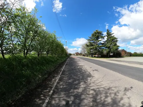
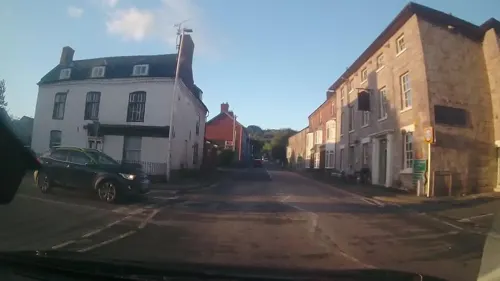
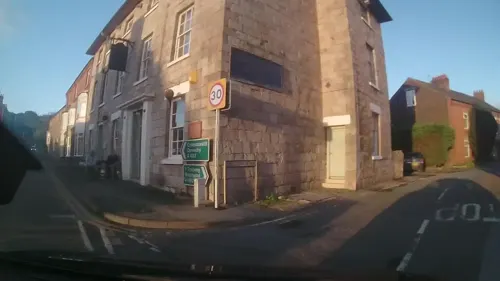

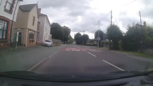
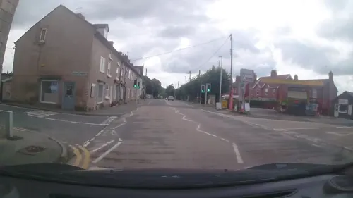
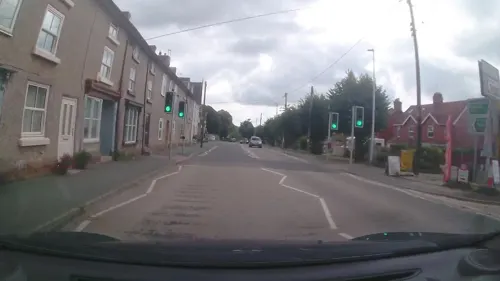
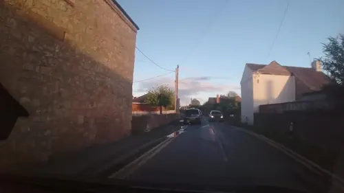
Where to stay1

History
In 2010 or shortly before that year, thirteen 2nd-4th century BC (Middle Iron Age) copper smelting furnaces were found in Domgay Lane. These were clay-lined pits equipped with block tuyeres, the latter indicating the use of bellows. Further associated remnants pointed at the smelting of a zinc-rich copper carbonate ore, with very little slag by-product. This ore was likely extracted in Llanymynech Hill (see Llanymynech Heritage Area), which had shallow mine galleries from the Iron Age similar to those of Great Orme.
Historically, the village was a centre for milk collection. The Four Crosses Creamery produced prize winning ice cream which was distributed over a large area of mid/north Wales and adjoining counties.
From the History section of Four Crosses, Llandysilio on Wikipedia, under CC BY-SA 4.0.
Churches and places of worship5
Gas and EV charging2
Schools, colleges and libraries2
Map of Four Crosses
21 places. The map loads OpenStreetMap tiles when you open it.
Getting there and nearby towns
Hawarden Airport (CEG) is the nearest airport with scheduled flights listed in OpenStreetMap, 29 miles away.
- Pant 2 mi north, about 3 min by car
- Guilsfield 5 mi southwest, about 9 min by car
- Oswestry 7 mi north, about 12 min by car
- Welshpool 7 mi south, about 12 min by car
- Ruyton-XI-Towns 8 mi east, about 13 min by car
- Llanfyllin 8 mi west, about 13 min by car
- Whittington 9 mi north, about 14 min by car
- Gobowen 10 mi north, about 15 min by car
- Baschurch 10 mi east, about 16 min by car
- Shrewsbury 14 mi east, about 23 min by car
Drive times are estimates from straight-line distance, not routes.
Towns near Four Crosses


Keep exploring
Local news
Headlines from INDB.
Reviews, tips and questions
Loading what members have shared...
Sources and licences
- GeoNames (CC BY 4.0): population, coordinates, regions and time zone
- Mapillary (see each image): photos
- OpenStreetMap contributors (ODbL 1.0): places, airports, map data
- Wikidata (CC0 1.0): elevation, founding date, time zone, website, landmarks and historic places
- Wikimedia Commons (see each image): photos
- Wikipedia (CC BY-SA 4.0): overview and history text
Photo credits
- Old Milk Factory, Four Crosses, Dave.Dunford, CC BY-SA 4.0
- Greenfield House, Four Crosses, Dave.Dunford, CC BY-SA 4.0
- Domgay House, Four Crosses, Dave.Dunford, CC BY-SA 4.0
- Street House, Four Crosses, Dave.Dunford, CC BY-SA 4.0
- The Golden Lion, Four Crosses, Dave.Dunford, CC BY-SA 4.0
- Breiddin02LB, Lesbardd at Welsh Wikipedia, CC BY-SA 3.0
- St Michael the Archangel, Llanyblodwel 38, Oosoom at English Wikipedia, CC BY-SA 3.0
- Church Of St Agatha, Ralf Tenbrink, CC BY-SA 4.0
- Domgay Congregational Chapel, Dave.Dunford, CC BY-SA 4.0
- Llandrinio Bridge, Ralf Tenbrink, CC BY-SA 4.0
- Cross Keys, Llanymynech, Dave.Dunford, CC BY-SA 4.0
- Church of St.Tysilio Ralf-Tenbrink 2, Ralf Tenbrink, CC BY-SA 4.0
- Street-level photo, trigpoint, CC BY-SA 4.0
- Street-level photo, dankarran, CC BY-SA 4.0
- Street-level photo, trigpoint, CC BY-SA 4.0
- Street-level photo, dankarran, CC BY-SA 4.0
- Street-level photo, trigpoint, CC BY-SA 4.0
- Street-level photo, trigpoint, CC BY-SA 4.0
- Street-level photo, trigpoint, CC BY-SA 4.0
- Street-level photo, trigpoint, CC BY-SA 4.0


Page built November 10, 2026. Spotted a mistake? Tell us or suggest a place.