


Why visit Niton
Townapedia lists 6 museums and landmarks, 7 parks and trails, 8 places to eat, 7 places to stay and 6 attractions in and around town.
Highlights include St Catherine's Oratory, St. Catherine's Lighthouse, Hoy Memorial and Blackgang Chine Theme Park.
Weather in Niton
Forecast from MET Norway (CC BY 4.0). Full forecast
About Niton
Niton is a village and former civil parish, now in the parish of Niton and Whitwell, on the Isle of Wight, England. It is west of Ventnor, with a population of 2,082. It has two pubs, several churches, a pottery workshop and shop, a pharmacy, a busy volunteer-run library, a medical centre and two local shops including a post office. The post office includes a pub and café that serves as a local meeting place.
From the Wikipedia article Niton (this version), under CC BY-SA 4.0.
Photos of Niton

Things to do6

St Catherine's Oratory
Lighthouse · 0.9 mi
Medieval lighthouse on the Isle of Wight, England, UK

St. Catherine's Lighthouse
Lighthouse · 1.0 mi
Lighthouse on the southernmost point of the Isle of Wight, England, UK



Museums and landmarks6

Parks, trails and playgrounds7



Restaurants and cafes8

The Buddle Smuggler's Inn
Bar and pub · 0.6 mi
St Catherines Road, Ventnor
We,Th 12:00-21:00; Fr,Sa 12:00-22:00; Su 12:00-18:00


History
Prehistoric lithic implements dating to the lower Palaeolithic constitute the oldest evidence of occupation of the area by hominids at some point in the early to mid Pleistocene. These are namely Acheulean handaxes, that have been discovered on the Undercliff coastline beneath the village. Later prehistoric findspots show evidence of Mesolithic and Neolithic activity.
Bronze Age round barrows are situated at several points on St Catherine's Down. These were used as burial monuments and perhaps territorial markers by Bronze Age communities. The historical parish boundary with Chale to the north follows these barrows, tentatively suggesting this is an ancient boundary between neighbouring communities that has persisted. Further Bronze Age evidence has been found at St Catherine's Point.
Close to Niton is the sheltered and remote Puckaster Cove, which was once proposed to have been used by Greek and Phoenician traders during the Bronze Age. Although this is not widely accepted and little evidence exists to support the claim.
Evidence of Roman and Iron Age occupation has been found at St Catherine's Point, which may have been the site of a Roman military outpost, most likely a beacon or signal station. Some of these finds include middens, with one containing the skeletal remains of a young girl.
Read more of the history
On 1 April 1933 the parish of Whitwell was merged with Niton. On 1 December 1980, the new parish was renamed to "Niton & Whitwell". In 1931 the civil parish of Niton (prior to the merge) had a population of 868.
From the History section of Niton on Wikipedia, under CC BY-SA 4.0.
More about Niton
Geography
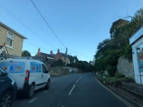
Niton village is split in half by a break in the inner cliff of the Undercliff, through which passes the main road. Upper Niton lies in a hollow and is set around a crossroads.
The lower part of the village, below the inner cliff and above Reeth Bay, is known as Niton Undercliff, and was a small fishing hamlet up until the 19th century. This part of Niton then flourished in Victorian times due to the popularity of Ventnor as a health resort, and many mansions and holiday cottages were built there.
Mount Cleves House was originally constructed in the late 1700s, and substantially remodelled in the early 1800s. Its residents included a Mr Kirkpatrick who owned the Isle of Wight Bank at the time and the owner of the Mortimer Foundry in Newport.
The road along the Undercliff continues east towards Ventnor, but a major landslip in February 2014 has closed it to vehicular traffic between Niton and Ventnor, although it remains open for walkers and riders. The Undercliff at Niton includes the most southerly point of the Isle of Wight, St. Catherine's Point and St. Catherine's Lighthouse. That is also where the Navtex transmitting station is located.
The source of the Eastern Yar is in the parish, just north of the village.
From the Wikipedia article Niton, under CC BY-SA 4.0.
Where to stay7
Churches and places of worship9
Shopping2
Gas and EV charging1
Schools, colleges and libraries2
Healthcare1
Map of Niton
49 places. The map loads OpenStreetMap tiles when you open it.
Getting there and nearby towns
Bembridge Airport (BBP) is the nearest airport with scheduled flights listed in OpenStreetMap, 10 miles away.
- Wroxall 3 mi northeast, about 5 min by car
- Sandown 7 mi northeast, about 11 min by car
- Newport 8 mi north, about 13 min by car
- Ryde 11 mi northeast, about 18 min by car
- St. Helens 11 mi northeast, about 17 min by car
- Cowes 12 mi north, about 20 min by car
- Gosport 16 mi northeast, about 26 min by car
- Lymington 16 mi northwest, about 26 min by car
- Portsmouth 17 mi northeast, about 27 min by car
- Fareham 19 mi north, about 30 min by car
Drive times are estimates from straight-line distance, not routes.
Towns near Niton


Keep exploring
Local news
Headlines from INDB.
Reviews, tips and questions
Loading what members have shared...
Sources and licences
- GeoNames (CC BY 4.0): population, coordinates, regions and time zone
- Mapillary (see each image): photos
- OpenStreetMap contributors (ODbL 1.0): places, airports, map data
- Wikidata (CC0 1.0): elevation, founding date, time zone, website, landmarks and historic places
- Wikimedia Commons (see each image): photos
- Wikipedia (CC BY-SA 4.0): overview and history text
Photo credits
- Niton, IW, UK, Mypix, CC BY-SA 4.0
- Stcatherineoratory3Ja10, Antony McCallum, CC BY 3.0
- St catherines lighthouse 2010, Jaapkievit, CC BY 3.0
- Chale Church, lostajy, CC BY 2.0
- St John the Evangelist's Church, High Street, Wroxall (May 2016) (2), Hassocks5489, CC0
- St Lawrence St Lawrence's Church, Editor5807, CC BY 3.0
- Blackgang Chine, IW, UK, Mypix, CC BY-SA 4.0
- Entrance to Church of St. John the Baptist in Niton, Editor5807, Public domain
- Whitwell Church, Editor5807 ( talk ) 11:18, 15 July 2008 (UTC), Public domain
- St Catherine's Chapel (Niton Baptist Church), Institute Hill, Niton (May 2016) (14), Hassocks5489, CC0
- The Buddle Inn. - panoramio, grumpylumixuser, CC BY 3.0
- Church of St John the Baptist, Niton, Isle of Wight, UK, Mypix, CC BY-SA 4.0
- West Wight from Blackgang viewpoint, Editor5807, CC BY-SA 4.0
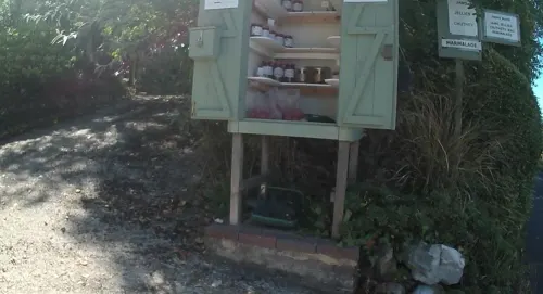
- Street-level photo, oferreira, CC BY-SA 4.0
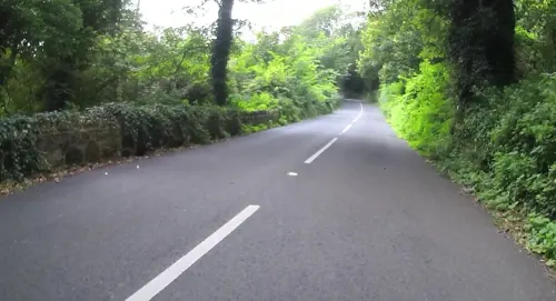
- Street-level photo, jpennycook, CC BY-SA 4.0
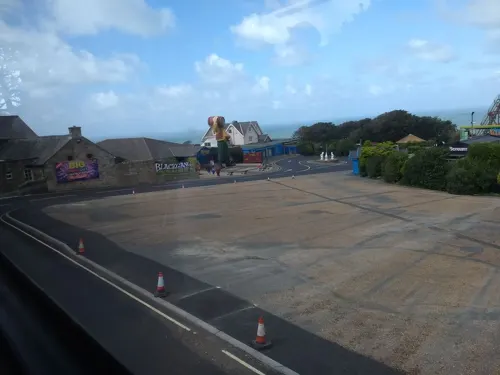
- Street-level photo, jpennycook, CC BY-SA 4.0
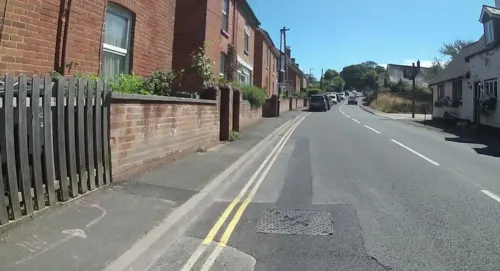
- Street-level photo, jpennycook, CC BY-SA 4.0
- Street-level photo, oferreira, CC BY-SA 4.0
- Street-level photo, oferreira, CC BY-SA 4.0
- Street-level photo, jpennycook, CC BY-SA 4.0
- Street-level photo, jpennycook, CC BY-SA 4.0
- Street-level photo, mappernerd, CC BY-SA 4.0
- Street-level photo, jpennycook, CC BY-SA 4.0
- Street-level photo, jpennycook, CC BY-SA 4.0
- Street-level photo, jpennycook, CC BY-SA 4.0
- Street-level photo, mappernerd, CC BY-SA 4.0
- Street-level photo, jpennycook, CC BY-SA 4.0


Page built November 10, 2026. Spotted a mistake? Tell us or suggest a place.