


Why visit Golspie
Townapedia lists 16 museums and landmarks, 3 parks and trails, 8 places to eat, 2 places to stay and 1 attraction in and around town.
Highlights include Ben Bhraggie, Carn Liath and Dunrobin Castle.
Weather in Golspie
Forecast from MET Norway (CC BY 4.0). Full forecast
About Golspie
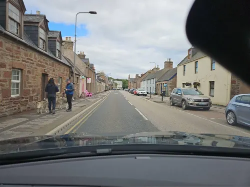
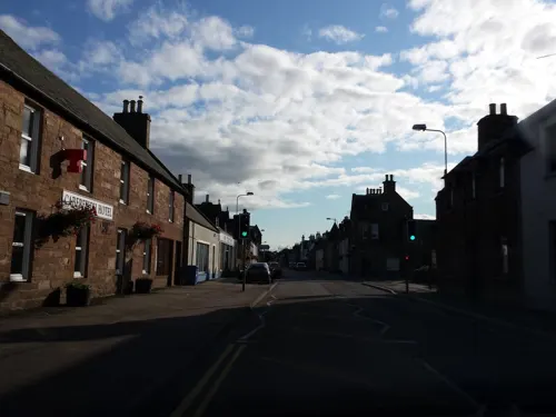
Golspie ( GOL-spee, Scottish Gaelic: Goillspidh) is a village and parish in Sutherland, Highland, Scotland, which lies on the North Sea coast in the shadow of Ben Bhraggie. It has a population of around 1,350.
From the Wikipedia article Golspie (this version), under CC BY-SA 4.0.
Photos of Golspie


Things to do1

Museums and landmarks16

Carn Liath
Monument and historic site · 2.6 mi
Tower in Highland, Scotland, UK

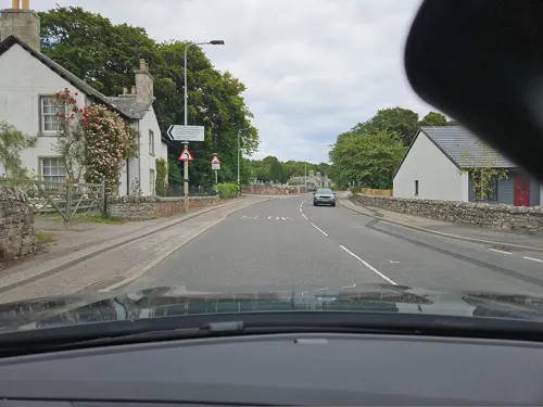
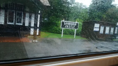
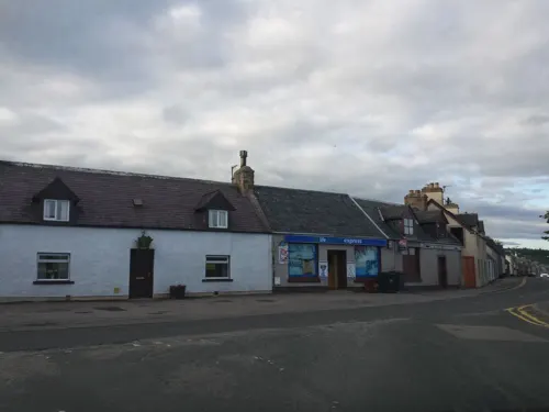


Monument to First Duke of Sutherland, Beinn A' Bhragaidh
Monument and historic site · 1.2 mi
Monument in Highland, Scotland, UK
4 more on the map.
Parks, trails and playgrounds3


Restaurants and cafes8
History
The parish of Golspie was anciently called Kilmaly or Kilmalie, with its parish church at Kirkton, 2 miles (3.2 km) west of the modern village. A chapel dedicated to St Andrew existed at Golspie from at least 1330, and in 1619 the chapel at Golspie was made the parish church, after which the parish became known instead as Golspie and the old church at Kirkton was abandoned. St Andrew's Church was largely rebuilt in 1738.. North of Golspie is an Iron Age broch called Backies Broch.
Read more of the history
Much of the modern village of Golspie was laid out in the nineteenth century as a planned village. During a series of visits from the Right Honourable Elizabeth Countess of Sutherland plans were drawn up for the regulations that were written in to future leases, imposing restrictions on the 'tacksmen' with regard to sub-setting and overstocking, and requiring them to adopt improving farming techniques. Consideration was also given to possible development of fishing villages on the east coast, the absence of any safe harbour being the greatest hindrance. Local fishermen used only small, light boats which could be drawn up onto the beach when not in use and this confined them to line fishing close to the shore. The herring fishing in the North Sea (at that time known as the German Ocean) was in the hands of the Dutch, who had a good fleet of decked vessels - the 'Holland Busses' - and it was hoped that some means could be found of developing a similar trade for the benefit of the people of Sutherland.
In one visit (between July and August 1805) the first plans were laid for Golspie village. It was to be based on "the street of the Fishertown of Golspie" and was to consist of houses 50 by 20 feet (15.2 by 6.1 m), each with a croft of 3⁄4 acre (3,000 m2). The people were to get a 99-year lease for their houses, which they were to build themselves, but the croft ground was to be re-let annually, thus permitting changes in the layout of the village from time to time. In addition to the individual crofts, it was intended to provide common cow pasture.
One improvement was quickly made and that was the building of a little pier or jetty to provide a safe landing place for boats serving Dunrobin. In a letter to her husband the Countess described how she had caused intimation to be given at the Church door that forty men were wanted for the next week at the rate of 1/- a day, to build this jetty, using stones from the beach. The work was supervised by William Pope, who was being considered as a possible person to take charge of the proposed development of the harbours at Culgour and Helmsdale.
In April 1805 the Colonel Campbell submitted for Presbytery's approval a plan for a new schoolhouse in Golspie, the old one having been classed as ruinous the previous year. The plan for the new one was as follows: the school was to be 40 ft (12 m) in length, a kitchen 12 ft (3.7 m) and the master's room 14 ft (4.3 m); the width all through to be 14 ft (4.3 m); the side walls 7.5 ft (2.3 m) high, a roof of grey slate and to be furnished with windows, locks and doors, desks and seats, the total cost being £127:12/-.
The Ordnance Survey Six-inch Second Edition Map of Golspie shows its very modest harbour. Fishing ports like this fared badly at the start of the 20th Century, and the development of steam-powered vessels enabled fishermen to travel far from home. In the annual report for 1906, we learn that local "fishermen prosecute the Scottish herring fishing, and this year two crews took part in the herring fishing at Yarmouth".. It is interesting to note that the catch did improve in the years preceding the war.
From the History section of Golspie on Wikipedia, under CC BY-SA 4.0.
More about Golspie
Economy
Centred on Loch Fleet, 3 miles (5 km) south of Golspie, is a national nature reserve with wading birds, wildfowl and seals. Osprey, terns and swallows frequent the loch in summer. Rare wild flowers and plants can be seen in nearby Balblair Wood.
There are four hotels, several guesthouses and bed and breakfast premises as well as self-catering cottages. Dunrobin Castle, the seat of Clan Sutherland, is nearby and has falconry displays. There is a static caravan site. The Old Bank Road drill hall was completed in 1892.
The village has a Choral Group, Rotary Club, and dancing classes. At the start of August Golspie Gala Week is held. Among the 100 events staged throughout the week are a car-banger derby, a fancy dress parade, a wheelbarrow race and a parade of massed pipe bands as a finale. Golspie Heritage Society has a permanent home in the former Fisherman's Welcome on Station Road. The IT-equipped public library, open for limited periods four days weekly, is in the Community Centre complex adjoining the High School.
From the Wikipedia article Golspie, under CC BY-SA 4.0.
Notable people from Golspie
 Donald MennieScottish businessman and photographer (1875–1944)Photo: Donald Mennie, Public domain
 Hope GordonBritish Paralympic competitorPhoto: Gail Leenstra, CC BY-SA 4.0
- Adam GunnBritish-American decathlete
- Jimmy YuillScottish actor
Born in Golspie, according to Wikidata (CC0). Each name links to its Wikipedia article.
Where to stay2
Churches and places of worship2
Shopping4
Schools, colleges and libraries2
Healthcare2
Map of Golspie
40 places. The map loads OpenStreetMap tiles when you open it.
Getting there and nearby towns
Inverness Airport (INV) is the nearest airport with scheduled flights listed in OpenStreetMap, 30 miles away.
- Brora 5 mi northeast, about 9 min by car
- Dornoch 7 mi south, about 11 min by car
- Tain 11 mi south, about 18 min by car
- Nairn 27 mi south, about 44 min by car
- Elgin 33 mi southeast, about 53 min by car
- Strathpeffer 34 mi southwest, about 55 min by car
- North Kessock 34 mi south, about 55 min by car
- Inverness 35 mi south, about 57 min by car
- Rothes 42 mi southeast, about 1 h 15 min by car
- Ullapool 44 mi west, about 1 h 15 min by car
Drive times are estimates from straight-line distance, not routes.
Towns near Golspie


Keep exploring
Local news
Headlines from INDB.
Reviews, tips and questions
Loading what members have shared...
Sources and licences
- GeoNames (CC BY 4.0): population, coordinates, regions and time zone
- Mapillary (see each image): photos
- OpenStreetMap contributors (ODbL 1.0): places, airports, map data
- Wikidata (CC0 1.0): elevation, founding date, time zone, website, landmarks and historic places
- Wikimedia Commons (see each image): photos
- Wikipedia (CC BY-SA 4.0): overview and history text
Photo credits
- Golspie, Main Streed - panoramio, Piotr_Grzegorz, CC BY-SA 3.0
- Northern Constabulary Pipe Band at Golspie Gala Massed Bands at Golspie Sutherland Scotland (28719506712), Dave Conner from Inverness, Scotland, CC BY 2.0
- Northern Constabulary Pipe Band at Golspie Gala Massed Bands at Golspie Sutherland Scotland (28824446055), Dave Conner from Inverness, Scotland, CC BY 2.0
- Northern Constabulary Pipe Band at Massed Bands in Golspie Gala, Sutherland, Scotland (14627215139), Dave Conner from Inverness, Scotland, CC BY 2.0
- Northern Constabulary Pipe Band at Massed Bands at Golspie in Sutherland Scotland (20230957202), Dave Conner from Inverness, Scotland, CC BY 2.0
- Broch Carn Liath 02, Bubobubo2, CC BY-SA 3.0
- DunrobinCastle1, No machine-readable author provided. Imamon~commonswiki assumed (based on copyright claims)., CC BY-SA 3.0
- Dunrobin Castle -Sutherland -Scotland-26May2008 (2), Dunrobin_Castle_-Sutherland_-Scotland-26May2008.jpg : jack_spellingbacon derivative work: Snowmanradio ( talk ), CC BY 2.0
- Street-level photo, rudolfmayer, CC BY-SA 4.0
- Street-level photo, xdTAGCLAN, CC BY-SA 4.0
- Street-level photo, hobgoblin, CC BY-SA 4.0
- Street-level photo, toho, CC BY-SA 4.0
- Street-level photo, jurkis, CC BY-SA 4.0
- Street-level photo, toho, CC BY-SA 4.0
- Street-level photo, rudolfmayer, CC BY-SA 4.0
- Street-level photo, rudolfmayer, CC BY-SA 4.0
- Street-level photo, toho, CC BY-SA 4.0
- Street-level photo, hobgoblin, CC BY-SA 4.0
- Street-level photo, rudolfmayer, CC BY-SA 4.0
- Street-level photo, xdTAGCLAN, CC BY-SA 4.0
- Street-level photo, toho, CC BY-SA 4.0
- Street-level photo, tallguy, CC BY-SA 4.0
- Street-level photo, rudolfmayer, CC BY-SA 4.0
- Street-level photo, rudolfmayer, CC BY-SA 4.0
- Street-level photo, rudolfmayer, CC BY-SA 4.0
- Street-level photo, toho, CC BY-SA 4.0
- Street-level photo, tallguy, CC BY-SA 4.0
- Street-level photo, ugz, CC BY-SA 4.0
- Street-level photo, ugz, CC BY-SA 4.0
Page built November 10, 2026. Spotted a mistake? Tell us or suggest a place.