


Greenford, United Kingdom
Greenford is a town of 38,000 people in England, United Kingdom.
Why visit Greenford
Townapedia lists 12 museums and landmarks, 62 parks and trails, 110 places to eat, 4 places to stay and 6 attractions in and around town.
Highlights include Beck Theatre, Grosvenor Theatre, Ancient Church of St Mary The Virgin and Boston Manor.
Weather in Greenford
Forecast from MET Norway (CC BY 4.0). Full forecast
About Greenford
Greenford () is a large town in the London Borough of Ealing in West London, London, England, lying 11 miles (18 km) west from Charing Cross. It has a population of 46,787 inhabitants.
From the Wikipedia article Greenford (this version), under CC BY-SA 4.0.
Photos of Greenford


Things to do6

Beck Theatre
Cinema and theater · 3.0 mi
Theatre in Hayes, London, England

Grosvenor Theatre
Cinema and theater · 3.2 mi
Former cinema and theatre in Harrow, London, now a Zoroastrian Centre


Windmill Bridge
Bridge · 1.7 mi
Also known as 'The Three Bridges'. Designed by Isambard K Brunel. Road, rail and canal intersect at this bridge.

Hanwell Zoo
Zoo and aquarium · 1.2 mi
Church Rd, London
Apr 01-Sep 11 10:00-17:00; Sep 12-Mar 31 10:00-16:00; Dec 25 off

Open Air Theatre, Barra Hall Park
Cinema and theater · 3.0 mi
Open-air theatre in Barra Hall Park, Hayes, London, England
Museums and landmarks12


Boston Manor
Museum · 3.0 mi
Historic house museum in Brentford, London, UK

Down Barns Moated Site
Monument and historic site · 2.2 mi
Moated site in Northolt, London Borough of Ealing, England, UK


Pitzhanger Manor
Museum · 2.4 mi
Grade I listed historic house museum in the London Borough of Ealing, United Kingdom


Polish Air Force Memorial
Monument and historic site · 2.4 mi
War memorial in South Ruislip, London Borough of Hillingdon, United Kingdom
Parks, trails and playgrounds62

Pear Tree Park
Park · 0.7 mi
Park in Perivale, London, England
Stockdove Way, Greenford
Mo-Su 07:30-18:00


Grove Farm
Park · 1.9 mi
Local Nature Reserve in the London Borough of Ealing, England, UK


Hanger Hill Wood
Park · 2.8 mi
Nature reserve in the London Borough of Ealing, England, UK



Northala Fields
Park · 1.2 mi
Park located in Northolt, in the London Borough of Ealing
Kensington Road, Northolt
Barra Hall Park
Park · 3.0 mi
Park in the London Borough of Hillingdon, UK
50 more on the map.
Restaurants and cafes110
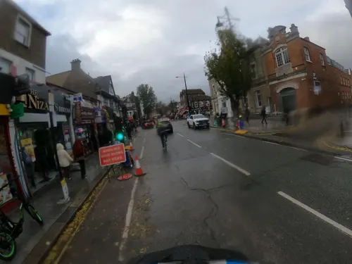
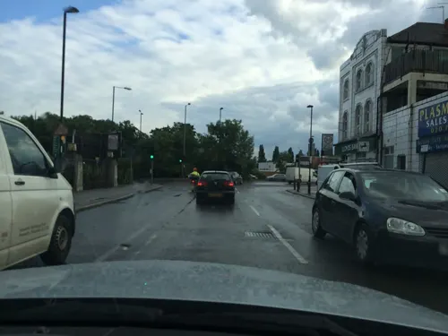
Royal Nawaab London
Restaurant · Indian · 1.5 mi
Western Avenue, Greenford
Mo-Fr 17:00-23:00; Sa-Su 13:00-23:00
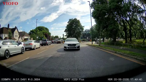
The Mandeville Arms
Diner · American · 1.5 mi
57-59 Mandeville Road, Northolt
Fr-Sa 09:00-23:00; Su-Th 09:00-22:00
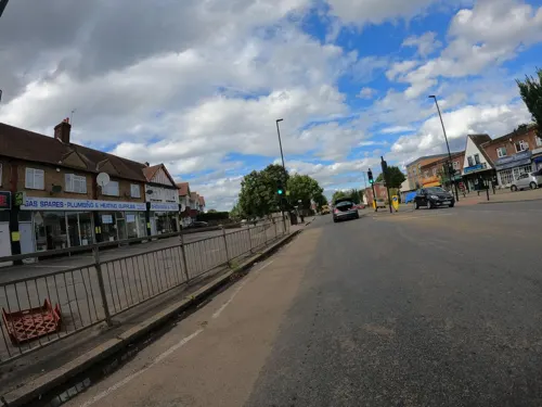
Big Boys Cafe
Cafe · Breakfast
329 Greenford Road, Greenford
Mo-Sa 07:00-16:00; Su 09:00-14:30



Starbucks
Cafe · Coffee Shop · 1.5 mi
Tillermans Court, Grenan Square, Greenford
Mo-Sa 07:00-20:00; Su 08:00-19:00

Almahmud Restaurant
Restaurant · Lebanese
584 Greenford Road, Greenford
98 more on the map.
History
Greenford was an ancient parish in the historic Elthorne Hundred, county of Middlesex.
Greenford is considered to be birthplace of the modern organic chemical industry, as it was at William Perkin's chemical factory in North Greenford, by the Grand Union Canal, that the world's first aniline dye was discovered in March 1856. Perkin called his amazing discovery 'mauveine'. Today there is a blue plaque marking the spot in Oldfield Lane North, just south of the Black Horse public house. Local anecdote says that Queen Elizabeth I would only eat bread made from wheat grown in Greenford, and until 2013/14 Greenford was the home to the Hovis factory. The former Rockware glassworks on the canal is commemorated by Rockware Avenue. Greenford formed part of Greenford Urban District from 1894 to 1926 and was then absorbed by the Municipal Borough of Ealing. On 1 October 1926 the civil parish was abolished and merged with Ealing. At the 1921 census (the last before the abolition of the parish), Greenford had a population of 1199.
Read more of the history
Post First World War, tea blender and food manufacturer J. Lyons and Co. were looking for a secondary site on which to expand production beyond Cadby Hall, Hammersmith. In 1921 they bought the first piece of an eventual 63 acres (25 ha) site, due to its location close to good transport links from both the Grand Union Canal and the Great Western Railway's Great Western Main Line, and the West Coast Main Line and onwards to the Midlands at Willesden Junction.
The factory opened in July 1921, with the first single-storey buildings known as "Zig-Zag" due to their northern light-aligned windows allowing maximum light into the production area. There were steam and electrical power plants on site, which powered both the plant as well as the staff canteen and medical facilities, accessible to all plant employees and their dependents. Transport docks and a canal basin had been developed, allowing shipment of tea and coffee directly from London Docks into HM Customs excise controlled bonded warehouses. The extensive onsite railway infrastructure allowed precise positioning of heavy raw goods into the factory, as well as the extraction of finished product. Lyons bought their own steam shunters to move wagons between the GWR exchange sidings and the factory system.
Lyons quickly became Greenford's biggest employer. A later pioneer in electronic machines and computing, Lyons deployed the latest factory automation technology, making Greenford a showplace that was regularly visited by the media, academics, competitors and royalty, with more than one visit by King George V and Queen Mary. In the 1950s, the site developed the breakfast cereal Ready Brek. Areas of the site not initially developed for factory use were landscaped, with many trees planted. As the factory developed these diminished, particularly after the development of the Lyons Maid Bridge Park factory in the 1950s, and the new administration block in 1971.
After the merger of Lyons with Allied Bakeries in the 1980s, and the focus of the new Allied Domecq business to focus on spirits, with the sell-off of the businesses associated with the factory, the need for the facility dwindled. Redeveloped from 1998, today it is known as Lyon Way Industrial Estate.
Five hundred yards north east from William Perkin's dye factory was a triangular field in which he kept horses. On this ground was built the Oldfield Tavern public house, which became a popular venue for a rock group called the Detours, who met a drummer there called Keith Moon. On Thursday 20 February 1964 they were introduced to the audience of the Oldfield Tavern as the Who. (The tavern has not survived, however, and has since been replaced by a small block of flats and a Texaco petrol station).
Andy Locke, Dave Kerr-Clemenson and Wal Scott were all in Edison Lighthouse, and with chart-topping Love Grows all came from Greenford.
From the History section of Greenford on Wikipedia, under CC BY-SA 4.0.
More about Greenford
Geography
The town lies between about 33 feet (10 m) and 98 feet (30 m) above sea level.
The grounds of the former Ravenor Farm has become Greenford's largest park; Ravenor Park is the venue for the annual Greenford Carnival, which is held every July.
Until 1910, the land that formed Ravenor Farm/Ravenor Park was a detached part of Northolt parish, with the tithes to the land going to St. Mary's Church, Northolt and not the Greenford parish of Holy Cross, Greenford.
There are also Perivale Wood, the Horsenden Hill, and Northala Fields near Northolt, Marnham Fields, and Brent Valley Park.
Economy
Significant local businesses include: British Bakeries, Brompton Bicycle, IBM, Aurora (TV Lighting), Panavision, Panalux, Wincanton (Distribution Centre) and Royal Mail (Regional distribution centre). KBR has an office in Greenford.
The Westway Cross Shopping Park is in Greenford Green. This retail park has stores including Next, Smyths Toys and Sports Direct.
From the Wikipedia article Greenford, under CC BY-SA 4.0.
Notable people from Greenford
- Blanche BingleyEnglish tennis player (1863–1946)
- Doug SandomBritish musician (1930-2019)
- Jack GoodBritish producer (1931-2017)
- Tony BiggsEnglish footballer (born 1936)
- Robbie CarrollFootballer (born 1968)
- Adrian ForbesEnglish footballer (born 1979)
- C. J. AllenBritish artist
- Ryan WattsEnglish professional footballer (born 1988)
- Michael MeakerWelsh footballer (born 1971)
- Nirpal Singh DhaliwalBritish writer and journalist
- Jon-Paul GatesBritish actor
- Gary SmithEnglish professional footballer (born 1955)
Born in Greenford, according to Wikidata (CC0). Each name links to its Wikipedia article.
Where to stay4
Churches and places of worship54
The Parish Church of St Mary, Hanwell
Church · Anglican · 1.1 mi
Church Road, London
Shopping33
Gas and EV charging9
Schools, colleges and libraries43
The Edward Betham Church of England Primary School
School · Anglican · 0.4 mi
Oldfield Lane South, Greenford
William Perkin Church of England High School
School · Anglican · 0.7 mi
Oldfield Lane North, Greenford
Healthcare17
Greenford Pharmacy And Opticians
Clinic and pharmacy · 0.8 mi
340 Greenford Avenue
Moorfield At Ealing Hospital
Clinic and pharmacy · 1.5 mi
Uxbridge Road, Southall
Map of Greenford
250 places. The map loads OpenStreetMap tiles when you open it.
Getting there and nearby towns
RAF Northolt (NHT) is the nearest airport with scheduled flights listed in OpenStreetMap, 3 miles away.
- Northolt 1 mi north, about 2 min by car
- Southall 2 mi southwest, about 2 min by car
- West Ealing 2 mi southeast, about 3 min by car
- Sudbury 2 mi northeast, about 4 min by car
- Wembley 3 mi northeast, about 5 min by car
- Hayes 3 mi west, about 5 min by car
- Heston 3 mi south, about 5 min by car
- Harrow on the Hill 3 mi north, about 5 min by car
- Osterley 3 mi south, about 5 min by car
- Harrow 4 mi north, about 6 min by car
Drive times are estimates from straight-line distance, not routes.
Towns near Greenford


Keep exploring
Local news
Headlines from INDB.
Reviews, tips and questions
Loading what members have shared...
Sources and licences
- GeoNames (CC BY 4.0): population, coordinates, regions and time zone
- Mapillary (see each image): photos
- OpenStreetMap contributors (ODbL 1.0): places, airports, map data
- Wikidata (CC0 1.0): elevation, founding date, time zone, website, landmarks and historic places
- Wikimedia Commons (see each image): photos
- Wikipedia (CC BY-SA 4.0): overview and history text
Photo credits
- Greenford Ruislip-Road, Romazur, CC BY-SA 4.0
- Greenford Heritage Centre 3668, P.g.champion, CC BY-SA 2.0 uk
- Hayes, The Beck Theatre, Nigel Cox, CC BY-SA 2.0
- Ace Cinema, Rayners Lane, Bernard Burns, CC BY-SA 3.0
- Questors Theatre, Ealing, Roger Green, CC BY-SA 4.0
- Brunel's road, canal and rail bridge (Three Bridges), Smeashy, CC BY-SA 4.0
- Boston manor front 2943, P.g.champion, CC BY-SA 2.0 uk
- Down Barns Moated Site 2, Dudley Miles, CC BY-SA 3.0
- Osterley Park House, London-25June2009-rc, Osterley Park House, London-25June2009.jpg : Jim Linwood derivative work: Snowmanradio ( talk ), CC BY 2.0
- Pitzhanger, Peter Jordan, CC BY-SA 2.0
- Blondin Park nature reserve 6, Dudley Miles, CC BY-SA 3.0
- Flickr - law keven - On a Cold ^ Frosty Morning...., Keven Law from Los Angeles, USA, CC BY-SA 2.0
- Grove Farm, Ealing 1, Dudley Miles, CC BY-SA 3.0
- Litten Local Nature Reserve, Dudley Miles, CC BY-SA 3.0
- Hayes (Hillingdon) St Mary from ENE GeoUK 1686342, John Salmon, CC BY-SA 2.0
- St Thomas Hanwell 3311, P.g.champion, CC BY-SA 2.0 uk
- St mary hanwell 38, P.g.champion, CC BY 2.0 uk
- Three Horseshoes, Southall, UB1 (3140291441), Ewan Munro from London, UK, CC BY-SA 2.0
- Red Lion, Southall, UB1 (3141122654), Ewan Munro from London, UK, CC BY-SA 2.0
- St Mary's Church, Perivale, view with porch, AndyScott, CC BY-SA 4.0
- Fox Wood, Ealing 1, Dudley Miles, CC BY-SA 3.0
- Islip Manor Meadows 6, Dudley Miles, CC BY-SA 3.0
- Gutteridge Wood 5, Dudley Miles, CC BY-SA 3.0
- Old Oak with hollows in Hanger Hill Wood (London Borough of Ealing)20180527 164853, Nalsenai, CC BY-SA 4.0
- PearTreeParkJune2026, Asteuartw, CC BY 4.0
- BSA Fury 350 motorcycle, meriden.triumph, CC BY 2.0
- Prototype BSA Fury motorcycle, meriden.triumph, CC BY 2.0
- Queen Elizabeth 2 Royal Cypher, Romazur, CC BY-SA 3.0
- Northolt Manor House site, Dudley Miles, CC BY-SA 3.0
- Ealing-Common-old-drinking-fountain-DMS-01, DMS, CC BY-SA 3.0
- Street-level photo, RyanBush, CC BY-SA 4.0
- Street-level photo, milhouse, CC BY-SA 4.0
- Street-level photo, julianlb, CC BY-SA 4.0
- Street-level photo, milhouse, CC BY-SA 4.0
- Street-level photo, milhouse, CC BY-SA 4.0
- Street-level photo, milhouse, CC BY-SA 4.0
- Street-level photo, RyanBush, CC BY-SA 4.0
- Street-level photo, milhouse, CC BY-SA 4.0
- Street-level photo, milhouse, CC BY-SA 4.0
- Street-level photo, firefishy, CC BY-SA 4.0
- Street-level photo, milhouse, CC BY-SA 4.0
- Street-level photo, southglos, CC BY-SA 4.0
- Street-level photo, geoengtechel, CC BY-SA 4.0
- Street-level photo, milhouse, CC BY-SA 4.0


Page built November 10, 2026. Spotted a mistake? Tell us or suggest a place.