


Hackleton, United Kingdom
Hackleton is a town of 1,408 people in England, United Kingdom.
Why visit Hackleton
Townapedia lists 10 museums and landmarks, 14 parks and trails, 28 places to eat, 2 places to stay and 5 attractions in and around town.
Highlights include Blisworth Arch, The Deco, 78 Derngate - The Charles Rennie Mackintosh House and Northampton Medieval Synagogue.
Weather in Hackleton
Forecast from MET Norway (CC BY 4.0). Full forecast
About Hackleton
Hackleton is a village and civil parish in the West Northamptonshire district, in Northamptonshire, England, just north of Buckinghamshire. It is 5 miles (8.0 km) south of Northampton town centre, and 2 miles (3.2 km) by road to the M1 London to Yorkshire motorway junction 15 and 11 miles (18 km) north of junction 14. London is 62 miles (100 km) south via junction 14 and 47 miles (76 km) southeast of Birmingham via junction 15. It lies on the busy B526 road (former A50) from Northampton to Newport Pagnell, between Horton and Wootton.
From the Wikipedia article Hackleton (this version), under CC BY-SA 4.0.
Things to do5

Blisworth Arch
Bridge · 4.8 mi
Railway bridge in Blisworth, South Northamptonshire, England, UK

The Deco
Cinema and theater · 4.6 mi
Former cinema in Northampton, England, now a religious centre and multi-purpose venue

Museums and landmarks10

78 Derngate - The Charles Rennie Mackintosh House
Museum · 4.3 mi
UK historic house museum
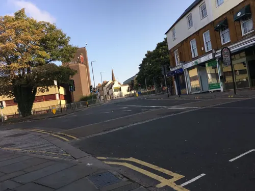
Northampton Medieval Synagogue
Monument and historic site · 4.7 mi
Synagogue in Northampton, England, UK

Northampton Museum and Art Gallery
Museum · 4.5 mi
Museum in Northampton, England, UK



Northampton War Memorial
Monument and historic site · 4.6 mi
First World War memorial on Wood Hill in the centre of Northampton, England

Ravenstone Priory
Monument and historic site · 3.8 mi
Priory in Ravenstone, Milton Keynes, Buckinghamshire, England, UK
Parks, trails and playgrounds14



Billing Aquadrome
Park · 4.0 mi
Leisure park in Great Billing, Northamptonshire

2 more on the map.
Restaurants and cafes28
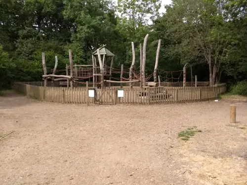
Salcey Forest Cafe
Cafe · Coffee Shop, Sandwich · 2.2 mi
Wootton Road, Northampton
Feb-Oct Mo-Fr 09:30-17:00, Sa-Su 09:00-17:30, Nov-Jan Mo-Fr...

Pizza Hut
Restaurant · Pizza · 2.8 mi
Caswell Road, Northampton
Mo-We 11:30-22:30; Th 11:30-23:00; Fr 11:00-23:00; Sa 11:30-23:00;...



16 more on the map.
Notable people from Hackleton
- Sydney Bennettcricketer (1905-1969)
Born in Hackleton, according to Wikidata (CC0). Each name links to its Wikipedia article.
Where to stay2
Churches and places of worship17
Shopping2
Gas and EV charging3
Ramco Filling Station And Convenience Store
Gas station · 2.5 mi
3 Bedford Road, Northampton
Schools, colleges and libraries9
Healthcare5
Map of Hackleton
95 places. The map loads OpenStreetMap tiles when you open it.
Getting there and nearby towns
Sywell Aerodrome (ORM) is the nearest airport with scheduled flights listed in OpenStreetMap, 8 miles away.
- Hartwell 3 mi southwest, about 5 min by car
- Northampton 5 mi northwest, about 8 min by car
- Lavendon 7 mi east, about 11 min by car
- Kislingbury 7 mi northwest, about 12 min by car
- Newport Pagnell 8 mi southeast, about 13 min by car
- Potterspury 8 mi southwest, about 13 min by car
- Harpole 8 mi northwest, about 13 min by car
- Harrold 9 mi east, about 15 min by car
- Wellingborough 10 mi northeast, about 15 min by car
- Milton Keynes 11 mi south, about 17 min by car
Drive times are estimates from straight-line distance, not routes.
Towns near Hackleton


Keep exploring
Local news
Headlines from INDB.
Reviews, tips and questions
Loading what members have shared...
Sources and licences
- GeoNames (CC BY 4.0): population, coordinates, regions and time zone
- Mapillary (see each image): photos
- OpenStreetMap contributors (ODbL 1.0): places, airports, map data
- Wikidata (CC0 1.0): elevation, founding date, time zone, website, landmarks and historic places
- Wikimedia Commons (see each image): photos
- Wikipedia (CC BY-SA 4.0): overview and history text
Photo credits
- Stephenson Bridge Blisworth England, Cj1340 at English Wikipedia, CC BY-SA 3.0
- 78 Derngate (5550355757), Tony Hisgett from Birmingham, UK, CC BY 2.0
- Northampton Museum front, StJaBe, CC BY-SA 4.0
- Abington Meadows 3, Dudley Miles, CC BY-SA 4.0
- Abington-Park, Tonp1, CC BY 3.0
- River Nene in Barnes Meadow 6, Dudley Miles, CC BY-SA 4.0
- All Saints Church, Northampton, Original uploader was G-Man at en.wikipedia, Public domain
- St Peter and St Paul (7003394897), Peter Broster, CC BY 2.0
- Church of St Peter and St Paul, Preston Deanery 12, Simon Burchell, CC BY-SA 4.0
- Piddington Roman Villa, Cj1340 ( talk ), Public domain
- Wootton Church 2185639, Ian Rob, CC BY-SA 2.0
- Piddington Church of St John the Baptist, Cj1340 ( talk ), Public domain
- 1911Watling Street, LlywelynII, CC BY-SA 4.0
- Street-level photo, photomaps, CC BY-SA 4.0
- Street-level photo, gness, CC BY-SA 4.0
- Street-level photo, adam2, CC BY-SA 4.0
- Street-level photo, southglos, CC BY-SA 4.0
- Street-level photo, southglos, CC BY-SA 4.0
- Street-level photo, southglos, CC BY-SA 4.0


Page built November 10, 2026. Spotted a mistake? Tell us or suggest a place.