


Why visit Hallow
Townapedia lists 6 museums and landmarks, 3 parks and trails, 12 places to eat, 1 place to stay and 2 attractions in and around town.
Highlights include Holt Fleet Bridge, Museum of Royal Worcester, The Commandery and Gheluvelt Park.
Weather in Hallow
Forecast from MET Norway (CC BY 4.0). Full forecast
About Hallow
Hallow is a village and civil parish in the Malvern Hills district, in the county of Worcestershire, England. The village is on the A443 road that links Worcester with Holt Heath and is beside the River Severn, about 2 miles (3.2 km) north-west of Worcester. Hallow has a public house, a post office and a Church of England primary school. In 2021 the parish had a population of 1,428.
From the Wikipedia article Hallow, Worcestershire (this version), under CC BY-SA 4.0.
Things to do2
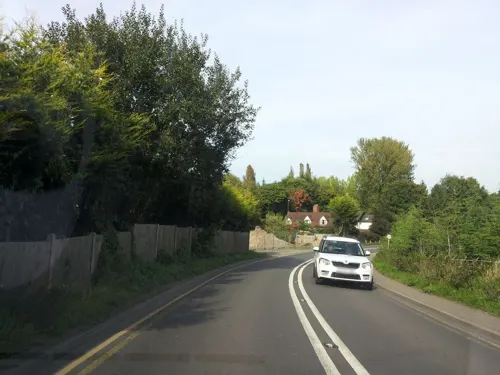
Holt Fleet Bridge
Bridge · 3.1 mi
Bridge in Worcestershire, England, UK

Museums and landmarks6

Museum of Royal Worcester
Museum · 2.9 mi
Ceramics museum in Worcester, England

The Commandery
Museum · 2.9 mi
Grade I listed building and museum in Worcester, United Kingdom

Worcester Boer War Memorial
Monument and historic site · 2.8 mi
War memorial in Worcester, England
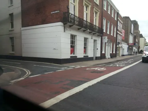
Worcester City Art Gallery and Museum
Museum · 2.3 mi
Art gallery and local museum in Worcester, England, United Kingdom
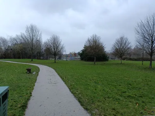

Elgar Birthplace Museum
Museum · 1.9 mi
Birthplace of Edward Elgar and museum in Lower Broadheath, Worcestershire, England
Parks, trails and playgrounds3



Restaurants and cafes12



History
There is evidence of human presence from the Paleolithic period, roughly 700,000-500,000 years ago. Flint axe heads were found near Hallow in the 1970s.
The name Hallow derives from the Old English halhhaga meaning 'nook of land by a hedge'.
In the 9th century the toponym was recorded as Halhegan, Heallingan and Halnegan. In the 11th century it was recorded as Halhegan and Hallhagan, while in the 13th century it was Hallawe, Hallaye or Hallag.
On 30 September 1885 the civil parish of "Hallow" was abolished and split with the rural part forming "North Hallow" and the part in the County Borough of Worcester forming "South Hallow". On 28 July 1952 "North Hallow" was renamed "Hallow".
The earliest record of the manor of Hallow is from AD 816, during the reign of Coenwulf of Mercia, when Hallow evidently belonged to Worcester Cathedral, and by the 10th century Hallow belonged to the Benedictine priory attached to the cathedral. After the Dissolution of the Monasteries around 1540 the cathedral retained Hallow, and in 1913 the manor was vested in the Ecclesiastical Commissioners.
By the middle of the 11th century, Worcester Priory had fishponds at Hallow and in 1256 permission was granted for a warren as well. Both were still in use in 1346.
Read more of the history
The Domesday Book of 1086 records that Hallow had two mills for grinding grain; presumably watermills on the River Severn. Hallow Mill was still in use in 1913.
Queen Elizabeth I came to hunt deer with bow and arrow at Hallow Park on 18 August 1575. She was said to have praised the "dainty situation" of the manor house, on high ground and perfumed by mint. In October 1576, she granted John Habington of Hindlip and his wife Dorothy a lease of the manor of Hallow in return for supplying flour to bake manchet bread whenever she returned to Worcestershire.
Following the Poor Law Amendment Act 1834 Grimley Parish, of which Hallow was then part, ceased to be responsible for maintaining the poor in its parish. This responsibility was transferred to Martley Poor Law Union.
Until 1876 Hallow was a chapelry of Grimley. Hallow's original chapel of ease was demolished in 1830 and replaced by a modest Georgian chapel on a new site about 300 yards (270 m) south-east of the old one.
In 1867 the second chapel was demolished and building began of the present Church of England parish church of Saint Philip and Saint James. It was designed by W. J. Hopkins and completed in 1869. Hallow was made a separate parish in 1876. The bell tower with its 150 feet (46 m) high broach spire were added in 1879.
The church is W. J. Hopkins' most notable work. The nave and clerestory are of four bays and are flanked by north and south aisles. The clerestory is supported by flying buttresses and, like a number of Hopkins' works, has round windows. The chancel and its arch are impressively high. 17th- and 18th-century memorial tablets from the old chapel were preserved and are mounted in the new church.
The old chapel had three bells in 1552 and five in 1740. A 16th-century bell from the old chapel hung in the new church until 1900, when a new peal of eight bells cast by John Taylor & Co of Loughborough was hung in the tower.
From the History section of Hallow, Worcestershire on Wikipedia, under CC BY-SA 4.0.
Notable people from Hallow
- Herbert IsaacEnglish cricketer (1899-1962)
Born in Hallow, according to Wikidata (CC0). Each name links to its Wikipedia article.
Where to stay1
Churches and places of worship11
Church of St Michael and All Angels, Martin Hussingtree
Church · 3.2 mi
Shopping3
Gas and EV charging1
Schools, colleges and libraries6
Map of Hallow
45 places. The map loads OpenStreetMap tiles when you open it.
Getting there and nearby towns
Gloucestershire Airport (GLO) is the nearest airport with scheduled flights listed in OpenStreetMap, 23 miles away.
- Worcester 3 mi southeast, about 4 min by car
- Droitwich 5 mi northeast, about 9 min by car
- Great Malvern 8 mi south, about 13 min by car
- Stourport-on-Severn 8 mi north, about 13 min by car
- Hartlebury 8 mi north, about 12 min by car
- Stoke Prior 9 mi northeast, about 15 min by car
- Kidderminster 11 mi north, about 18 min by car
- Bromsgrove 11 mi northeast, about 18 min by car
- Upton upon Severn 11 mi south, about 18 min by car
- Redditch 14 mi northeast, about 23 min by car
Drive times are estimates from straight-line distance, not routes.
Towns near Hallow


Keep exploring
Local news
Headlines from INDB.
Reviews, tips and questions
Loading what members have shared...
Sources and licences
- GeoNames (CC BY 4.0): population, coordinates, regions and time zone
- Mapillary (see each image): photos
- OpenStreetMap contributors (ODbL 1.0): places, airports, map data
- Wikidata (CC0 1.0): elevation, founding date, time zone, website, landmarks and historic places
- Wikimedia Commons (see each image): photos
- Wikipedia (CC BY-SA 4.0): overview and history text
Photo credits
- Hallow post office, Peter Whatley, CC BY-SA 2.0
- Hallow Post box with coronation crown (52882327427), Mike Finn from Worcester, United Kingdom, CC BY 2.0
- Hallow Post box with coronation crown (52882327342), Mike Finn from Worcester, United Kingdom, CC BY 2.0
- William Colton, South African War Memorial Worcester, David James, CC BY-SA 4.0
- St. Leonard's Church, Cotheridge, Bob Embleton, CC BY-SA 2.0
- The Hive - Worcester (27415265175), Esther Westerveld from Haarlemmermeer, Nederland, CC BY 2.0
- Mug house, Newton2, CC BY 2.5
- St John the Baptist Church at Claines, Angela Jones, CC BY-SA 2.0
- Collections of the Museum of Royal Worcester (3), Seth Whales, CC BY-SA 4.0
- Cart in "The Commandery" - panoramio, ingawh, CC BY-SA 3.0
- Street-level photo, endszbrxns, CC BY-SA 4.0
- Street-level photo, southglos, CC BY-SA 4.0
- Street-level photo, daniturn3, CC BY-SA 4.0
- Street-level photo, southglos, CC BY-SA 4.0
- Street-level photo, southglos, CC BY-SA 4.0
- Street-level photo, southglos, CC BY-SA 4.0
- Street-level photo, southglos, CC BY-SA 4.0
- Street-level photo, daniturn3, CC BY-SA 4.0
- Street-level photo, daniturn3, CC BY-SA 4.0
- Street-level photo, rct36, CC BY-SA 4.0
- Street-level photo, southglos, CC BY-SA 4.0
- Street-level photo, southglos, CC BY-SA 4.0
- Street-level photo, southglos, CC BY-SA 4.0
- Street-level photo, southglos, CC BY-SA 4.0
- Street-level photo, daniturn3, CC BY-SA 4.0
- Street-level photo, rct36, CC BY-SA 4.0

Page built November 10, 2026. Spotted a mistake? Tell us or suggest a place.