


Hartlebury, United Kingdom
Hartlebury is a town of 1,525 people in England, United Kingdom.
Why visit Hartlebury
Townapedia lists 12 museums and landmarks, 36 parks and trails, 53 places to eat, 9 places to stay and 2 attractions in and around town.
Highlights include Stourport Civic Centre, Hartlebury Castle, Harvington Hall and West Midland Safari Park.
Weather in Hartlebury
Forecast from MET Norway (CC BY 4.0). Full forecast
About Hartlebury
Hartlebury is a village and civil parish in the Wychavon district of Worcestershire, England. It is 4 miles (6.4 km) south of Kidderminster. The village had a population of 3,083 in the 2021 Census.
From the Wikipedia article Hartlebury (this version), under CC BY-SA 4.0.
Things to do2
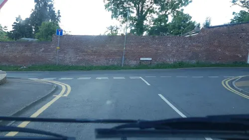
Stourport Civic Centre
Cinema and theater · 2.1 mi
Theatre and public hall in Stourport on Severn, England

Museums and landmarks12

Hartlebury Castle
Monument and historic site · 0.5 mi
Grade I listed house in Hartlebury, Wychavon, Worcestershire, England, UK

Harvington Hall
Museum · 3.3 mi
Grade I listed historic house museum in Wyre Forest, United Kingdom
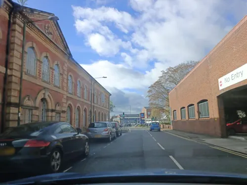
Museum of Carpet
Museum · 3.6 mi
Textiles museum in Worcestershire, England, United Kingdom

Worcestershire County Museum
Museum · 0.5 mi
Museum in Hartlebury Castle, near KIdderminster, England, United Kingdom
Military Wireless Museum in the Midlands
Museum · 3.7 mi
Museum in Kidderminster,Worcestershire, England, UK

Parks, trails and playgrounds36

West Midland Safari Park
Park · 3.7 mi
Safari park in Worcestershire, England




24 more on the map.
Restaurants and cafes53
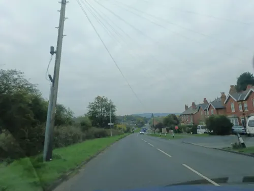
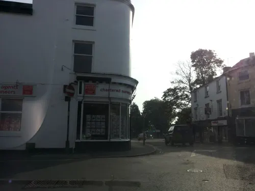




41 more on the map.
History
The name Hartlebury derives from the Old English Heortlaburh meaning 'Heortla's fortification'.
Hartlebury Castle was built in the mid-13th century as a fortified manor house. Until 2007 it was the residence of the Bishop of Worcester, with two-thirds of the building leased out to Worcestershire County Council as the Worcestershire County Museum. Hartlebury Castle is a Grade I listed building. It is about a mile to the west of the village and half a mile to the west of the church.
Queen Elizabeth (I) Grammar School (the regnal number was added in 1952 on the accession of Elizabeth II) was in Hartlebury until 1977. The earliest record of the precursor to the school is in the Domesday Book, compiled in 1086. Other early accounts date to 1400, well before Harrow and Rugby were founded. The school was granted a Royal Charter by Queen Elizabeth I in 1557. Originally a private boys school, it was taken over by the State, and was closed when it was merged in 1977 with King Charles I Grammar School, Kidderminster, and The Kidderminster Girls High School to form King Charles I School. The oldest building standing was converted to a house. Its magnificent New Building has commanding views over fields and woodland, and was rescued from demolition by its alumni association.
Read more of the history
A very small independent school unconnected educationally with Hartlebury School opened in 2008: the fee-paying New Elizabethan School was set up to cater for children "who have found learning and school attendance difficult" on part of the Hartlebury School site. A private school, for young boys and girls, operated there 1979–2007, Bowbrook School — renamed Hartlebury Independent School in 1999, then Hartlebury School in 2000. In 2007, it became a charitable organisation. Then in 2008 it was re-launched in its new form.
From the History section of Hartlebury on Wikipedia, under CC BY-SA 4.0.
Notable people from Hartlebury
 Elizabeth ClarkEnglish writer (1875-1972)Photo: Unknown author Unknown author, CC BY-SA 4.0
- Raymond MorrisEnglish cricketer (born 1929)
Born in Hartlebury, according to Wikidata (CC0). Each name links to its Wikipedia article.
Where to stay9
Churches and places of worship20
Shopping7
Gas and EV charging4
Schools, colleges and libraries12
Healthcare1
Map of Hartlebury
156 places. The map loads OpenStreetMap tiles when you open it.
Getting there and nearby towns
Birmingham Airport (BHX) is the nearest airport with scheduled flights listed in OpenStreetMap, 22 miles away.
- Stourport-on-Severn 2 mi west, about 3 min by car
- Kidderminster 4 mi north, about 6 min by car
- Droitwich 6 mi southeast, about 9 min by car
- Bromsgrove 7 mi east, about 12 min by car
- Stoke Prior 7 mi east, about 11 min by car
- Stourbridge 9 mi northeast, about 15 min by car
- Worcester 10 mi south, about 16 min by car
- Halesowen 11 mi northeast, about 18 min by car
- Brierley Hill 11 mi northeast, about 18 min by car
- Redditch 12 mi east, about 20 min by car
Drive times are estimates from straight-line distance, not routes.
Towns near Hartlebury


Keep exploring
Local news
Headlines from INDB.
Reviews, tips and questions
Loading what members have shared...
Sources and licences
- GeoNames (CC BY 4.0): population, coordinates, regions and time zone
- Mapillary (see each image): photos
- OpenStreetMap contributors (ODbL 1.0): places, airports, map data
- Wikidata (CC0 1.0): elevation, founding date, time zone, website, landmarks and historic places
- Wikimedia Commons (see each image): photos
- Wikipedia (CC BY-SA 4.0): overview and history text
Photo credits
- Inn Lane, Hartlebury, P L Chadwick, CC BY-SA 2.0
- Exterior of Harvington Hall, Dave606 at English Wikipedia, CC BY 3.0
- Giraffes at west midlands safari park, Robek, CC BY 2.5
- Church of Saint George Kidderminster by Architect Francis Goodwin, Aspdin, CC BY-SA 3.0
- Hartlebury Castle by ICW, IanChristopherWeston, CC BY-SA 4.0
- Street-level photo, trigpoint, CC BY-SA 4.0
- Street-level photo, southglos, CC BY-SA 4.0
- Street-level photo, uk360, CC BY-SA 4.0
- Street-level photo, trigpoint, CC BY-SA 4.0
- Street-level photo, richardc, CC BY-SA 4.0
- Street-level photo, daniturn3, CC BY-SA 4.0
- Street-level photo, southglos, CC BY-SA 4.0
- Street-level photo, richardc, CC BY-SA 4.0
- Street-level photo, southglos, CC BY-SA 4.0
- Street-level photo, daniturn3, CC BY-SA 4.0
- Street-level photo, uk360, CC BY-SA 4.0
- Street-level photo, richardc, CC BY-SA 4.0
- Street-level photo, uk360, CC BY-SA 4.0
- Street-level photo, daniturn3, CC BY-SA 4.0
- Street-level photo, trigpoint, CC BY-SA 4.0
- Street-level photo, richardc, CC BY-SA 4.0
- Street-level photo, endszbrxns, CC BY-SA 4.0
Page built November 10, 2026. Spotted a mistake? Tell us or suggest a place.