


Harlington, United Kingdom
Harlington is a town of 2,297 people in England, United Kingdom.
Why visit Harlington
Townapedia lists 4 parks and trails, 13 places to eat and 1 place to stay in and around town.
Highlights include Dropshort Marsh and Fancott Woods and Meadows.
Weather in Harlington
Forecast from MET Norway (CC BY 4.0). Full forecast
About Harlington
Harlington is a village and civil parish located in Bedfordshire, England, near the M1 motorway. The nearest town is Flitwick about 3 miles (4.8 km) to the north.
From the Wikipedia article Harlington, Bedfordshire (this version), under CC BY-SA 4.0.
Photos of Harlington

Parks, trails and playgrounds4


Fancott Woods and Meadows
Park · 1.9 mi
Nature reserve in the United Kingdom


Barton Hills, Bedfordshire
Park · 3.3 mi
Nature reserve and Site of Special Scientific Interest near Barton-le-Clay, Bedfordshire
Restaurants and cafes13

The Bell Inn
Restaurant · Thai · 1.4 mi
Pub and a thai resteraunt in the bell
High Street, Bedford
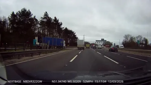
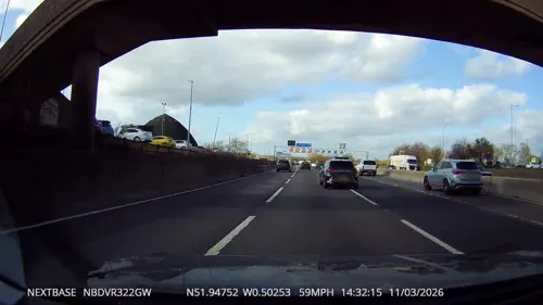
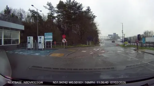
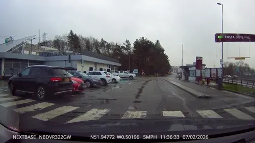
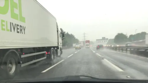


Costa
Cafe · Coffee Shop · 1.2 mi
Moto Toddington Services (Northbound), Dunstable
1 more on the map.
Where to stay1
Churches and places of worship13

Church of Saint Mary the Virgin, Harlington, Bedfordshire
Church
Church in Harlington, Bedfordshire, England, UK
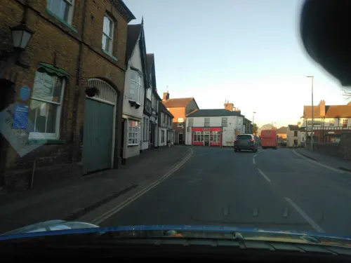
Church of St George, Toddington
Church · 1.9 mi
Church in Toddington, Bedfordshire, England, UK

Church of All Saints, Chalgrave
Church · 2.6 mi
Church in Chalgrave, Bedfordshire, England, UK
Church of St Margaret, Streatley, Bedfordshire
Church · 2.4 mi
Church in Streatley, Bedfordshire, England, UK
Church of St Mary, Sundon
Church · 2.3 mi
Church in Sundon, Bedfordshire, England, UK
Church of St Nicholas, Barton le Clay
Church · 3.0 mi
Church in Barton-le-Clay, Bedfordshire, England, UK
Church of St Nicholas, Tingrith
Church · 2.2 mi
Church in Tingrith, Bedfordshire, England, UK
Church of St Peter & St Paul, Flitwick
Church · 2.4 mi
Church in Flitwick, Bedfordshire, England, UK
1 more on the map.
History
1086: The Domesday Book calls the village Herlingdone and lists Nigel D'Albini as Lord of the Manor; he took over from four Saxon thegns who lost their lands at the time of the Norman Conquest in 1066.
1300–1350: The Church of St Mary the Virgin was built, replacing what was probably a wooden church with a thatched roof. The church tower was not added until the 15th century.
1660: John Bunyan led an unauthorised religious meeting at a farmhouse near Harlington, for which he was arrested and taken to Harlington House (now known as Harlington Manor – the only currently occupied residential house connected with Bunyan). After being questioned he was imprisoned for 12 years in Bedford county gaol. While serving his sentence he began writing his most famous work, The Pilgrim's Progress.
1830: the first English National Steeplechase on record was run from Bury Orchard to Wrest Park Obelisk.
1920: Harlington War Memorial dedicated to the memory of 27 Harlington men killed in the First World War.
1937: Sir Albert Richardson designs a new North range of Harlington Manor
From the History section of Harlington, Bedfordshire on Wikipedia, under CC BY-SA 4.0.
Notable people from Harlington
 Roger HammondBritish cyclistPhoto: Cs-wolves, CC BY-SA 4.0
- Jon GeeAustralian politician (born 1959)
Born in Harlington, according to Wikidata (CC0). Each name links to its Wikipedia article.
Gas and EV charging3
Schools, colleges and libraries3
Map of Harlington
37 places. The map loads OpenStreetMap tiles when you open it.
Getting there and nearby towns
London Luton Airport (LTN) is the nearest airport with scheduled flights listed in OpenStreetMap, 8 miles away.
- Westoning 1 mi north, about 2 min by car
- Flitwick 3 mi north, about 5 min by car
- Greenfield 3 mi north, about 5 min by car
- Ampthill 4 mi north, about 7 min by car
- Silsoe 4 mi northeast, about 7 min by car
- Dunstable 5 mi south, about 9 min by car
- Maulden 5 mi north, about 8 min by car
- Stanbridge 6 mi southwest, about 9 min by car
- Shillington 6 mi east, about 10 min by car
- Luton 7 mi southeast, about 11 min by car
Drive times are estimates from straight-line distance, not routes.
Towns near Harlington


Keep exploring
Local news
Headlines from INDB.
Reviews, tips and questions
Loading what members have shared...
Sources and licences
- GeoNames (CC BY 4.0): population, coordinates, regions and time zone
- Mapillary (see each image): photos
- OpenStreetMap contributors (ODbL 1.0): places, airports, map data
- Wikidata (CC0 1.0): elevation, founding date, time zone, website, landmarks and historic places
- Wikimedia Commons (see each image): photos
- Wikipedia (CC BY-SA 4.0): overview and history text
Photo credits
- HarlingtonCrossroads(Peter Roberts)Mar2005, Peter Roberts, CC BY-SA 2.0
- St Marys C of E Church Harlington, Alex, CC BY-SA 4.0
- Harlington Manor from the west, Prurpnit, CC BY-SA 3.0
- Dropshort Marsh 7, Dudley Miles, CC BY-SA 4.0
- Cows in Fancott Woods and Meadows, Dudley Miles, CC BY-SA 4.0
- River Flit in Flitwick Moor 3, Dudley Miles, CC BY-SA 4.0
- Bell-Westoning, Nigel Cox, CC BY-SA 2.0
- Railways are about arrivals- and departures. - panoramio, Roger Carvell, CC BY 3.0
- Street-level photo, tallguy, CC BY-SA 4.0
- Street-level photo, tallguy, CC BY-SA 4.0
- Street-level photo, zymurgic, CC BY-SA 4.0
- Street-level photo, tallguy, CC BY-SA 4.0
- Street-level photo, tallguy, CC BY-SA 4.0
- Street-level photo, lvl5, CC BY-SA 4.0
- Street-level photo, tallguy, CC BY-SA 4.0
- Street-level photo, tallguy, CC BY-SA 4.0
- Street-level photo, sk53, CC BY-SA 4.0
- Street-level photo, tallguy, CC BY-SA 4.0
- Street-level photo, southglos, CC BY-SA 4.0
Page built November 10, 2026. Spotted a mistake? Tell us or suggest a place.