


Why visit Hopton
Townapedia lists 3 museums and landmarks, 8 parks and trails, 11 places to eat, 4 places to stay and 5 attractions in and around town.
Highlights include Gorleston Lighthouse, Gorleston Pavilion, Lowestoft Maritime Museum and Somerleyton Hall.
Weather in Hopton
Forecast from MET Norway (CC BY 4.0). Full forecast
About Hopton
Hopton-on-Sea is a village, civil parish and seaside resort on the coast of East Anglia, in the Great Yarmouth district, in the county of Norfolk, England. It is located 4 miles (6 km) south of Great Yarmouth and 5 miles (8 km) north-west of Lowestoft.
From the Wikipedia article Hopton-on-Sea (this version), under CC BY-SA 4.0.
Things to do5
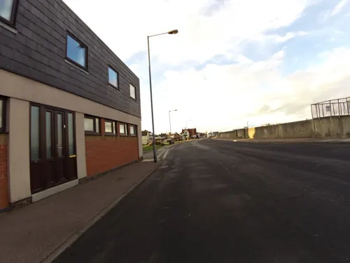
Gorleston Lighthouse
Lighthouse · 2.7 mi
Lighthouse in Great Yarmouth, Norfolk, England, UK
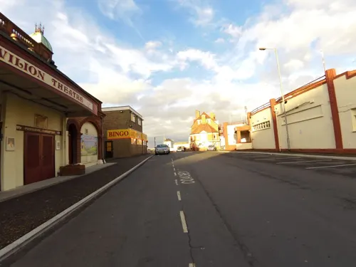
Gorleston Pavilion
Cinema and theater · 2.6 mi
Theatre in Gorleston-on-Sea, Great Yarmouth, England

Pleasurewood Hills
Monument and historic site · 1.9 mi
Amusement park in Lowestoft, eastern UK

Gorleston South Pier Lighthouse
Lighthouse · 2.7 mi
Lighthouse in Norfolk, England
Lowestoft Lighthouse
Lighthouse · 3.4 mi
Lighthouse in Waveney, Suffolk, England, UK
Museums and landmarks3

Lowestoft Maritime Museum
Museum · 3.3 mi
Maritime museum in Lowestoft, United Kingdom

Somerleyton Hall
Museum · 2.7 mi
Grade II* listed house in Suffolk, England, UK
Parks, trails and playgrounds8


Gunton Warren and Corton Woods
Park · 2.4 mi
Suffolk Wildlife Trust nature reserve



Restaurants and cafes11

The Plough
Bar and pub · 1.5 mi
Market Lane, Lowestoft
Mo,Tu 12:00-17:00; We-Sa 12:00-22:00; Su 12:00-18:00
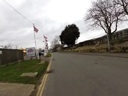
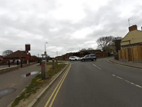
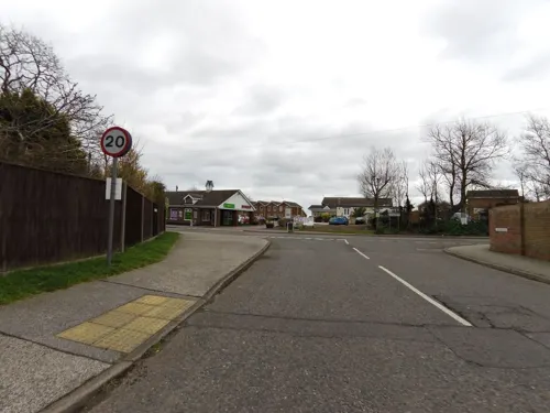
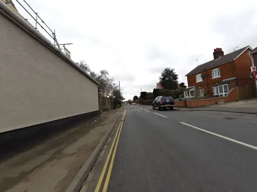
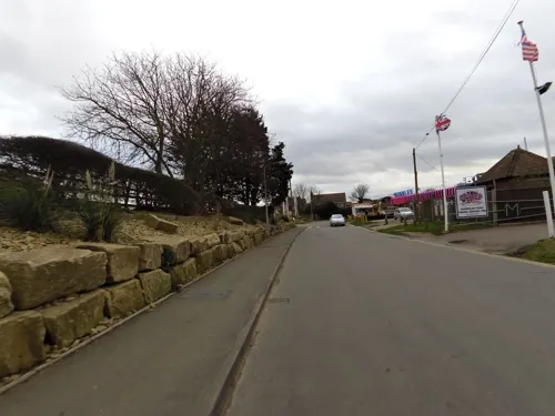
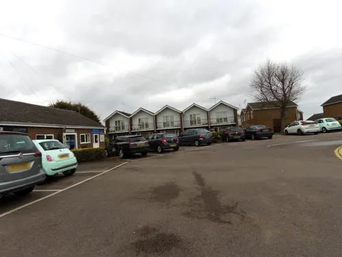
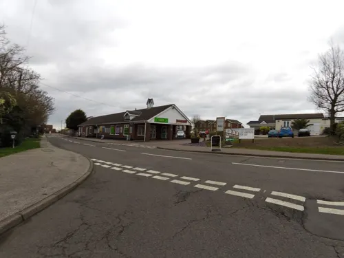
New China
Fast food · Chinese · 1.3 mi
49 The Street, Lowestoft
Tu-Sa 16:30-22:30; Su 16:30-22:00

History
The village's name means "Farm/settlement in enclosed spot"; it is perhaps referring to the promontory jutting into marsh.
The earliest human activity in the parish dates to the Palaeolithic era, with the discovery of flint tools. There have also been artefacts found from the Bronze Age and Roman era in the area.
The oldest building in the parish is the ruin of St Margaret's church, built in the 14th century; it burned down in 1865. The ruins of the old church are being restored to form a cultural centre for the village. As part of the £140,000 restoration project by the Great Yarmouth Preservation Trust, gargoyles were found on the site from the previous 11th century church.
A new church of the same name was built the following year in Early English style on a new site, which is still in use today. Designed by Samuel Sanders Teulon, it contains stained glass by William Morris and Edward Burne-Jones.
During World War II, a dense network of military defences were built in the area due to Hopton's close proximity to Great Yarmouth. These included anti-tank defences, pillboxes, air-raid shelters and a coastal battery. Constructed in 1940, this battery had a pair of large gun houses, four six-inch guns and search-lights. The site was armed during and after the war, until August 1947, due to its prime location for an invasion.
From the History section of Hopton-on-Sea on Wikipedia, under CC BY-SA 4.0.
More about Hopton
Geography
The village is sited on the East Anglia coast, beside the North Sea; it has a wide sandy beach, Hopton-on-Sea Beach, which runs by grassy cliffs. The beach suffers from coastal erosion and, as of 2016, sand levels have dropped by 10 ft in the last five years. The erosion has led to a project to replace the old wooden groynes, with ones made of rock and the construction of a seawall. These defences are estimated to protect the area for up to a century.
The civil parish was, until 1974, in the county of East Suffolk. It has an area of 2.17 square miles (5.6 km2) and, in the 2011 census, it had a population of 2,970 in 1,325 households. For local government, the parish falls within the district of Great Yarmouth.
From the Wikipedia article Hopton-on-Sea, under CC BY-SA 4.0.
Notable people from Hopton
- James Hanway PlumridgeBritish naval officer (1787-1863)
Born in Hopton, according to Wikidata (CC0). Each name links to its Wikipedia article.
Where to stay4
Churches and places of worship6
Gas and EV charging1
Schools, colleges and libraries3
Corton Church of England Voluntary Aided Primary School
School · Anglican · 1.4 mi
The Street, Lowestoft
Eastern Civil Engineering and Construction Campus (East Coast College)
School · 1.3 mi
Church Lane, Lowestoft
Healthcare1
Map of Hopton
42 places. The map loads OpenStreetMap tiles when you open it.
Getting there and nearby towns
Norwich Airport (NWI) is the nearest airport with scheduled flights listed in OpenStreetMap, 21 miles away.
- Bradwell 3 mi northwest, about 5 min by car
- Lowestoft 4 mi south, about 7 min by car
- Great Yarmouth 5 mi north, about 8 min by car
- Reedham 7 mi west, about 11 min by car
- Thurlton 7 mi west, about 12 min by car
- Beccles 9 mi southwest, about 14 min by car
- Ormesby St Margaret 10 mi north, about 16 min by car
- Loddon 11 mi west, about 17 min by car
- Acle 11 mi northwest, about 17 min by car
- Lingwood 12 mi northwest, about 19 min by car
Drive times are estimates from straight-line distance, not routes.
Towns near Hopton


Keep exploring
Local news
Headlines from INDB.
Reviews, tips and questions
Loading what members have shared...
Sources and licences
- GeoNames (CC BY 4.0): population, coordinates, regions and time zone
- Mapillary (see each image): photos
- OpenStreetMap contributors (ODbL 1.0): places, airports, map data
- Wikidata (CC0 1.0): elevation, founding date, time zone, website, landmarks and historic places
- Wikimedia Commons (see each image): photos
- Wikipedia (CC BY-SA 4.0): overview and history text
Photo credits
- Lowestoft Maritime Museum 2016, Jack1956, CC0
- Somerleyton chateau 3, Velvet, CC BY-SA 3.0
- Gunton Meadow 4, Dudley Miles, CC BY-SA 4.0
- Gunton Warren 9, Dudley Miles, CC BY-SA 4.0
- Gunton Wood 1, Dudley Miles, CC BY-SA 4.0
- Blundeston - Church of St Mary, Bob Crook, CC BY-SA 2.0
- Lowestoft - Church of St Margaret, Geoff Pick, CC BY-SA 2.0
- Pleasurewood Hills aerial image - Suffolk UK - 05 (14788781765), John Fielding from Norwich, UK, CC BY 2.0
- -2022-05-03 The Plough public house, Blundeston, Suffolk, Adrian S Pye, CC BY-SA 2.0
- Street-level photo, smsm1, CC BY-SA 4.0
- Street-level photo, smsm1, CC BY-SA 4.0
- Street-level photo, smsm1, CC BY-SA 4.0
- Street-level photo, smsm1, CC BY-SA 4.0
- Street-level photo, smsm1, CC BY-SA 4.0
- Street-level photo, smsm1, CC BY-SA 4.0
- Street-level photo, smsm1, CC BY-SA 4.0
- Street-level photo, smsm1, CC BY-SA 4.0
- Street-level photo, smsm1, CC BY-SA 4.0
- Street-level photo, smsm1, CC BY-SA 4.0
- Street-level photo, smsm1, CC BY-SA 4.0
- Street-level photo, smsm1, CC BY-SA 4.0
- Street-level photo, smsm1, CC BY-SA 4.0
- Street-level photo, smsm1, CC BY-SA 4.0

Page built November 10, 2026. Spotted a mistake? Tell us or suggest a place.