
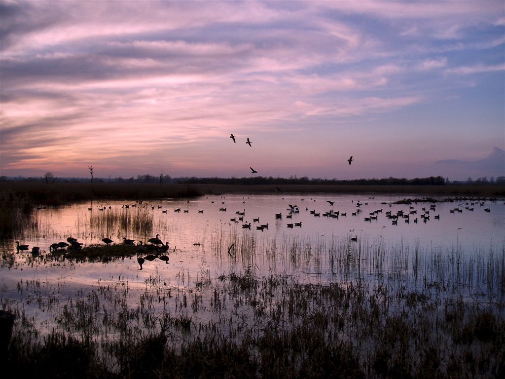


Why visit Lingwood
Townapedia lists 8 museums and landmarks, 4 parks and trails, 5 places to eat, 3 places to stay and 2 attractions in and around town.
Highlights include Strumpshaw Steam Museum, Strumpshaw Hall Steam Museum, Strumpshaw Fen RSPB reserve and The Broads.
Weather in Lingwood
Forecast from MET Norway (CC BY 4.0). Full forecast
About Lingwood
Lingwood is a village and former civil parish, now in the parish of Lingwood and Burlingham, in the Broadland district, in the English county of Norfolk. In 2011 the built-up area had a population of 2,719 and the built-up area sub division had a population of 2,493.
From the Wikipedia article Lingwood (this version), under CC BY-SA 4.0.
Things to do2


Museums and landmarks8

Strumpshaw Hall Steam Museum
Museum · 1.4 mi
Museum in Strumpshaw, Norfolk, United Kingdom

War Memorial
Monument and historic site · 1.5 mi
Stone cross on engraved pedestal by church yard path.
Parks, trails and playgrounds4

Strumpshaw Fen RSPB reserve
Park · 1.6 mi
RSPB nature reserve in the English county of Norfolk

The Broads
Park · 3.2 mi
Network of rivers and lakes in the English counties of Norfolk and Suffolk

Buckenham Marshes RSPB reserve
Park · 1.8 mi
RSPB nature reserve in the United Kingdom
Restaurants and cafes5
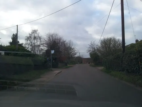
The Huntsman
Bar and pub · 0.4 mi
Free house
41 Norwich Road, Norwich
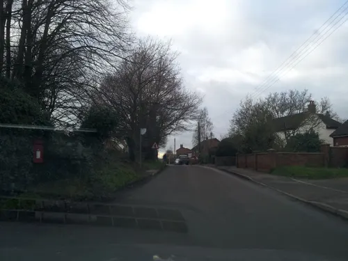
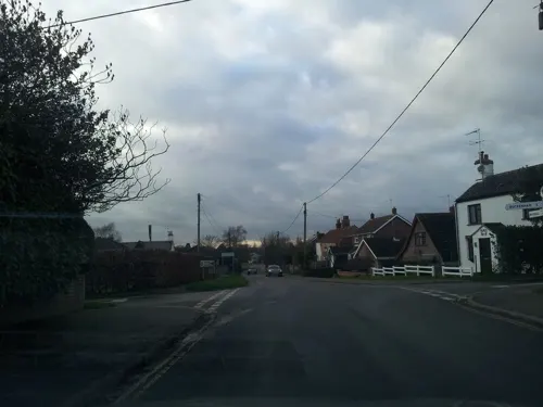

Kings Head
Bar and pub
24 Station Road, Norwich
Mo,We,Sa 12:00-14:00,17:00-20:00; Tu,Th 12:00-14:00,17:00-19:00;...

History
Lingwood's name is of Anglo-Saxon origin and derives from the Old English for bank wood.
In 1931 the parish had a population of 568. On 1 April 1935 the parish was abolished and merged with Burlingham.
Lingwood Railway Station opened in 1882 on the Great Eastern Railway and remains open as a stop on the Wherry Line for services between Norwich and Great Yarmouth.
During a heatwave on 26 June 2026, a temperature of 38.0 °C (100.4 °F) was recorded at a Met Office station in Lingwood, breaking the all-time United Kingdom temperature record for the month of June. This comprehensively beat the previous record of 35.6 °C (96.1 °F), set in the 1976 heatwave.
From the History section of Lingwood on Wikipedia, under CC BY-SA 4.0.
Where to stay3
Churches and places of worship10
Schools, colleges and libraries1
Map of Lingwood
33 places. The map loads OpenStreetMap tiles when you open it.
Getting there and nearby towns
Norwich Airport (NWI) is the nearest airport with scheduled flights listed in OpenStreetMap, 9 miles away.
- Acle 3 mi northeast, about 5 min by car
- Rackheath 5 mi northwest, about 9 min by car
- Reedham 5 mi southeast, about 9 min by car
- Loddon 6 mi south, about 10 min by car
- Horning 6 mi north, about 9 min by car
- Thurlton 7 mi southeast, about 11 min by car
- Brooke 7 mi southwest, about 12 min by car
- Norwich 8 mi west, about 13 min by car
- Spixworth 8 mi northwest, about 13 min by car
- Martham 9 mi northeast, about 14 min by car
Drive times are estimates from straight-line distance, not routes.
Towns near Lingwood


Keep exploring
Local news
Headlines from INDB.
Reviews, tips and questions
Loading what members have shared...
Sources and licences
- GeoNames (CC BY 4.0): population, coordinates, regions and time zone
- Mapillary (see each image): photos
- OpenStreetMap contributors (ODbL 1.0): places, airports, map data
- Wikidata (CC0 1.0): elevation, founding date, time zone, website, landmarks and historic places
- Wikimedia Commons (see each image): photos
- Wikipedia (CC BY-SA 4.0): overview and history text
Photo credits
- RSPB Strumpshaw Fen Norfolk Brick Hide view, LittleHow, CC BY-SA 3.0
- Ricking the reed, Peter Henry Emerson, Public domain
- Moulton-g1, Bernd Jatzwauk Pommes104, CC BY-SA 3.0
- Street-level photo, adam2, CC BY-SA 4.0
- Street-level photo, railorama, CC BY-SA 4.0
- Street-level photo, adam2, CC BY-SA 4.0
- Street-level photo, adam2, CC BY-SA 4.0
- Street-level photo, adam2, CC BY-SA 4.0
Page built November 10, 2026. Spotted a mistake? Tell us or suggest a place.