


Why visit Hoveton
Townapedia lists 6 museums and landmarks, 6 parks and trails, 27 places to eat and 7 places to stay in and around town.
Highlights include Barton House Railway, RAF Air Defence Radar Museum, BeWILDerwood and Ranworth Broad.
Weather in Hoveton
Forecast from MET Norway (CC BY 4.0). Full forecast
About Hoveton
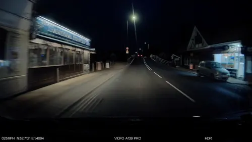
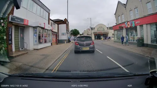
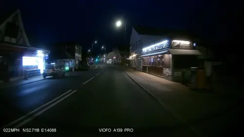
Hoveton (pronounced , "Hofton") is a village and civil parish in the English county of Norfolk, within the Norfolk Broads.
From the Wikipedia article Hoveton (this version), under CC BY-SA 4.0.
Photos of Hoveton


Museums and landmarks6

RAF Air Defence Radar Museum
Museum · 2.5 mi
Military museum in Norfolk, United Kingdom

Trafford Mausoleum, St Mary's Churchyard
Monument and historic site · 0.8 mi
Mausoleum in Wroxham, Broadland, Norfolk, England, UK
Wroxham Barns
Monument and historic site · 1.3 mi
Tunstead Road, Norwich
Mo-Su 10:00-17:00
Parks, trails and playgrounds6

BeWILDerwood
Sports field and stadium · 1.7 mi
Family adventure park in Norfolk, UK
Horning Road, Norwich


Restaurants and cafes27

The Horse and Groom
Restaurant · Pub · 2.0 mi
Friendly countryside pub offering homecooked meals. Food served 12 - 14:30 and 18:00 - 21:00 Sunday 12:00 - 15:00
Market Street, Norwich
Mo-Su 11:00-23:00


15 more on the map.
Where to stay7


History
Hoveton's name is of Anglo-Saxon origin and derives from the Old English for Hofa's farmstead.
In the Domesday Book, Hoveton is listed as a settlement of 58 households in the hundred of Tunstead. In 1086, the village was divided between the East Anglian estates of St. Benet's Abbey and Roger of Poitou.
Hoveton & Wroxham Railway Station opened in the village in 1874 and still operates as a stop on the Bittern Line, between Norwich and Sheringham.
From the History section of Hoveton on Wikipedia, under CC BY-SA 4.0.
More about Hoveton
Geography
According to the 2021 census, Hoveton has a population of 2,127 people which shows an increase from the 1,759 people recorded in the 2011 census.
Hoveton is located within the Norfolk Broads close to Hoveton Great Broad and Hoveton Little Broad.
From the Wikipedia article Hoveton, under CC BY-SA 4.0.
Notable people from Hoveton
- Henry BlofeldEnglish sports journalist
Born in Hoveton, according to Wikidata (CC0). Each name links to its Wikipedia article.
Churches and places of worship9
Wroxham and Hoveton United Reformed Church
Church · United Reformed · 0.7 mi
114 Church Lane, Norwich
Shopping8
Gas and EV charging1
Schools, colleges and libraries3
Healthcare2
Map of Hoveton
69 places. The map loads OpenStreetMap tiles when you open it.
Getting there and nearby towns
Norwich Airport (NWI) is the nearest airport with scheduled flights listed in OpenStreetMap, 6 miles away.
- Coltishall 2 mi northwest, about 3 min by car
- Horning 2 mi east, about 4 min by car
- Rackheath 4 mi south, about 6 min by car
- Spixworth 4 mi southwest, about 7 min by car
- Buxton 5 mi northwest, about 9 min by car
- North Walsham 7 mi north, about 12 min by car
- Lingwood 7 mi southeast, about 12 min by car
- Norwich 8 mi southwest, about 12 min by car
- Acle 8 mi southeast, about 13 min by car
- Bowthorpe 10 mi southwest, about 15 min by car
Drive times are estimates from straight-line distance, not routes.
Towns near Hoveton


Keep exploring
Local news
Headlines from INDB.
Reviews, tips and questions
Loading what members have shared...
Sources and licences
- GeoNames (CC BY 4.0): population, coordinates, regions and time zone
- Mapillary (see each image): photos
- OpenStreetMap contributors (ODbL 1.0): places, airports, map data
- Wikidata (CC0 1.0): elevation, founding date, time zone, website, landmarks and historic places
- Wikimedia Commons (see each image): photos
- Wikipedia (CC BY-SA 4.0): overview and history text
Photo credits
- Wroxham Church, Charlesdrakew, Public domain
- Belaugh church, Tecoates at English Wikipedia, Public domain
- Fred Roy, Northmetpit, Public domain
- Vintage contactless machine Wroxham Miniature Worlds, Matt Brown, CC BY 2.0
- Japanese layout at Wroxham Miniature Worlds Museum, Matt Brown, CC BY 2.0
- Laughing sailor Wroxham Miniature Worlds, Matt Brown, CC BY 2.0
- Vintage amusement machines Wroxham Miniature Worlds, Matt Brown, CC BY 2.0
- Pacman Wroxham Miniature Worlds, Matt Brown, CC BY 2.0
- Super scary arcade dummy Wroxham Miniature Worlds, Matt Brown, CC BY 2.0
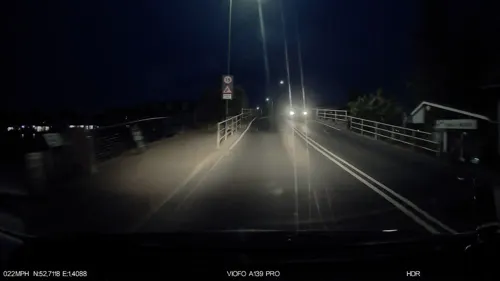
- Street-level photo, IpswichEdits, CC BY-SA 4.0
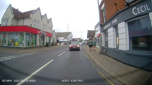
- Street-level photo, IpswichEdits, CC BY-SA 4.0
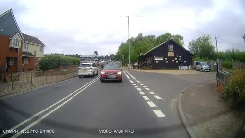
- Street-level photo, IpswichEdits, CC BY-SA 4.0
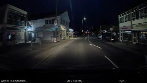
- Street-level photo, smsm1, CC BY-SA 4.0
- Street-level photo, IpswichEdits, CC BY-SA 4.0
- Street-level photo, IpswichEdits, CC BY-SA 4.0
- Street-level photo, IpswichEdits, CC BY-SA 4.0
- Street-level photo, smsm1, CC BY-SA 4.0
- Street-level photo, IpswichEdits, CC BY-SA 4.0
- Street-level photo, IpswichEdits, CC BY-SA 4.0
- Street-level photo, IpswichEdits, CC BY-SA 4.0
- Street-level photo, IpswichEdits, CC BY-SA 4.0
- Street-level photo, IpswichEdits, CC BY-SA 4.0
- Street-level photo, IpswichEdits, CC BY-SA 4.0
- Street-level photo, IpswichEdits, CC BY-SA 4.0
- Street-level photo, IpswichEdits, CC BY-SA 4.0
Page built November 10, 2026. Spotted a mistake? Tell us or suggest a place.