


Spixworth, United Kingdom
Spixworth is a town of 3,598 people in England, United Kingdom.
Why visit Spixworth
Townapedia lists 4 parks and trails, 3 places to eat, 3 places to stay and 2 attractions in and around town.
Highlights include Sewell Barn Theatre, Beeston Farm Shop, Catton Park and Waterloo Park.
Weather in Spixworth
Forecast from MET Norway (CC BY 4.0). Full forecast
About Spixworth
Spixworth is a village and civil parish in the English county of Norfolk. The village lies close to the B1150 road and is 5 miles (8.0 km) north of Norwich and some 10 miles (16.1 km) south of North Walsham.
From the Wikipedia article Spixworth (this version), under CC BY-SA 4.0.
Things to do2

Sewell Barn Theatre
Cinema and theater · 2.7 mi
Theatre in Norwich, England

Parks, trails and playgrounds4



Restaurants and cafes3
The Longe Arms
Bar and pub
1 Crostwick Lane, Norwich
Mo-Th 10:30-23:00; Fr 10:30-01:00; Sa 12:00-01:00; Su 12:00-00:00

Where to stay3

History
From Saxon times the village has been part of the Taverham Hundred. Prior to the Norman Conquest of 1066 much of the land was held by a Saxon freeman known as Suart. After the conquest, Spixworth and other surrounding villages were given to Roger of Poictiers. In 1199, Peter Bardoph became Lord of the manor, a position the family held to 1485. The estate was eventually sold to William Peck in 1602. Peck, Sheriff of Norwich in 1561 and Mayor of the city in 1573 and 1586, built Spixworth Hall in 1607. The house and estate was subsequently purchased by the Longe family in 1693 and remained in the family until 1950 when the hall was sold. The hall subsequently fell into disrepair and was demolished in 1952. The title, Lord of the manor is still owned by Longe family as well as the surrounding lands.
From the History section of Spixworth on Wikipedia, under CC BY-SA 4.0.
Churches and places of worship5
Shopping3
Schools, colleges and libraries4
Healthcare1
Map of Spixworth
25 places. The map loads OpenStreetMap tiles when you open it.
Getting there and nearby towns
Norwich Airport (NWI) is the nearest airport with scheduled flights listed in OpenStreetMap, 2 miles away.
- Rackheath 3 mi southeast, about 5 min by car
- Norwich 4 mi south, about 7 min by car
- Coltishall 4 mi northeast, about 6 min by car
- Bowthorpe 5 mi southwest, about 9 min by car
- Buxton 5 mi north, about 8 min by car
- Costessey 5 mi west, about 8 min by car
- Horning 6 mi east, about 10 min by car
- Cringleford 6 mi southwest, about 10 min by car
- Cawston 9 mi northwest, about 14 min by car
- North Walsham 10 mi north, about 16 min by car
Drive times are estimates from straight-line distance, not routes.
Towns near Spixworth


Keep exploring
Local news
Headlines from INDB.
Reviews, tips and questions
Loading what members have shared...
Sources and licences
- GeoNames (CC BY 4.0): population, coordinates, regions and time zone
- Mapillary (see each image): photos
- OpenStreetMap contributors (ODbL 1.0): places, airports, map data
- Wikidata (CC0 1.0): elevation, founding date, time zone, website, landmarks and historic places
- Wikimedia Commons (see each image): photos
- Wikipedia (CC BY-SA 4.0): overview and history text
Photo credits
- SewellBarn, Cameron Self, CC BY 2.5
- Catton Park, Northmetpit, Public domain
- Waterloo Park Norwich Bandstand & Pavilion, Northmetpit, CC0
- St Mary & St Margaret's Church, Nhojjohn, Public domain
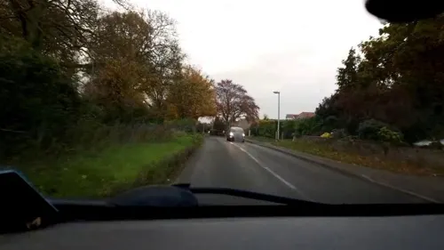
- Street-level photo, roadroid, CC BY-SA 4.0
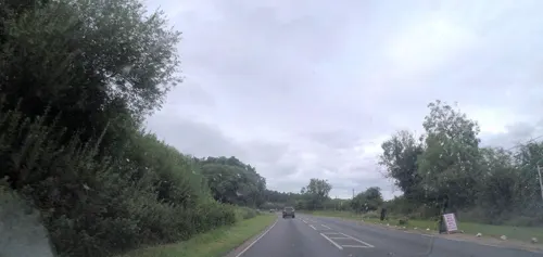
- Street-level photo, 4004, CC BY-SA 4.0
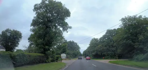
- Street-level photo, roadroid, CC BY-SA 4.0
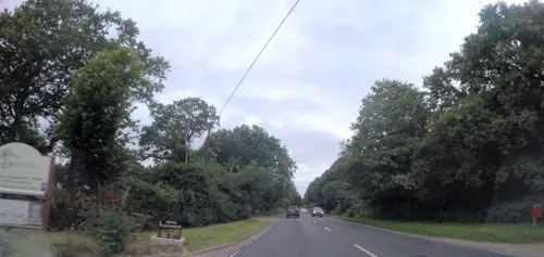
- Street-level photo, 4004, CC BY-SA 4.0
- Street-level photo, 4004, CC BY-SA 4.0
Page built November 10, 2026. Spotted a mistake? Tell us or suggest a place.