


Why visit Ivinghoe
Townapedia lists 6 museums and landmarks, 6 parks and trails, 8 places to eat, 2 places to stay and 9 attractions in and around town.
Highlights include British Rail Midland Region London Rugby Line Bridge Number 114 (Parkhill Bridge), Court Theatre, Bridgewater Monument and Natural History Museum at Tring.
Weather in Ivinghoe
Forecast from MET Norway (CC BY 4.0). Full forecast
About Ivinghoe
Ivinghoe is a historic market town and civil parish in east Buckinghamshire, England, close to the borders with Hertfordshire and Bedfordshire. It is 33 miles (53 kilometres) northwest of London, 4 mi (6 km) north of Tring and 6 mi (10 km) south of Leighton Buzzard, close to the village of Pitstone.
From the Wikipedia article Ivinghoe (this version), under CC BY-SA 4.0.
Things to do9

British Rail Midland Region London Rugby Line Bridge Number 114 (Parkhill Bridge)
Bridge · 1.8 mi
Bridge in Tring, Dacorum, Hertfordshire, England, UK
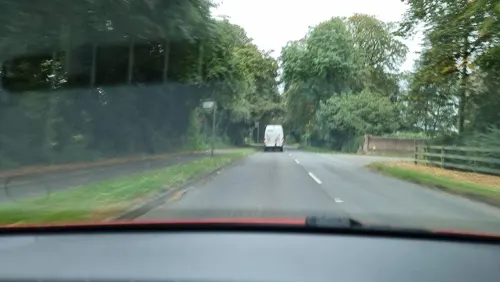
Court Theatre
Cinema and theater · 2.6 mi
Theatre in the former stables of Pendley Manor in the UK

British Rail Midland Region London Rugby Line Bridge Number 113
Bridge · 2.2 mi
Bridge in Aldbury, Dacorum, Hertfordshire, England, UK
British Rail Midland Region London Rugby Line Bridge Number 115 (Folly Bridge)
Bridge · 1.4 mi
Road bridge in Tring, Dacorum, Hertfordshire, England, UK

Museums and landmarks6

Bridgewater Monument
Monument and historic site · 2.4 mi
Grade II* scheduled monument in England

Natural History Museum at Tring
Museum · 3.4 mi
Museum under the control of the Natural History Museum in the UK




Parks, trails and playgrounds6

College Lake Nature Reserve
Hiking and trails · 1.4 mi
Nature reserve in Marsworth, Buckinghamshire, England, UK
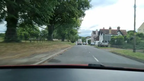
Upper Icknield Way, Tring
09:30-17:00



Restaurants and cafes8



Delicious Meals
Restaurant · Chinese · 0.5 mi
17 - 19 Marsworth Road, Leighton Buzzard
Where to stay2
Churches and places of worship5
Schools, colleges and libraries2
Map of Ivinghoe
38 places. The map loads OpenStreetMap tiles when you open it.
Getting there and nearby towns
London Luton Airport (LTN) is the nearest airport with scheduled flights listed in OpenStreetMap, 11 miles away.
- Cheddington 2 mi northwest, about 3 min by car
- Tring 3 mi southwest, about 5 min by car
- Northchurch 5 mi southeast, about 8 min by car
- Stanbridge 5 mi north, about 8 min by car
- Kensworth 5 mi east, about 9 min by car
- Dunstable 6 mi northeast, about 9 min by car
- Leighton Buzzard 6 mi north, about 9 min by car
- Berkhamsted 6 mi southeast, about 10 min by car
- Wing 6 mi northwest, about 9 min by car
- Weston Turville 6 mi southwest, about 10 min by car
Drive times are estimates from straight-line distance, not routes.
Towns near Ivinghoe


Keep exploring
Local news
Headlines from INDB.
Reviews, tips and questions
Loading what members have shared...
Sources and licences
- GeoNames (CC BY 4.0): population, coordinates, regions and time zone
- Mapillary (see each image): photos
- OpenStreetMap contributors (ODbL 1.0): places, airports, map data
- Wikidata (CC0 1.0): elevation, founding date, time zone, website, landmarks and historic places
- Wikimedia Commons (see each image): photos
- Wikipedia (CC BY-SA 4.0): overview and history text
Photo credits
- St Mary the Virgin, Ivinghoe 14 59 58 894000, Cnbrb, CC BY-SA 4.0
- St Mary the Virgin, Ivinghoe 14 59 19 792000, Cnbrb, CC BY-SA 4.0
- West-Coast-Main-Line-20060629-003, Gary Houston, CC0
- UK Ashridge Bridgewater monument, Pointillist, CC BY-SA 3.0
- Rothschild Museum Tring, Rob Farrow . Rob Farrow, CC BY-SA 2.0
- Interior of St Peter and St Paul, Tring, September 2019 01, No Swan So Fine, CC BY-SA 4.0
- St Mary the Virgin, Ivinghoe, Cnbrb, CC BY-SA 4.0
- Ivinghoe Beacon seen from The Ridgeway, Pointillist, CC BY-SA 3.0
- College Lake 8, Dudley Miles, CC BY-SA 4.0
- Pitstone Windmill, Steve Johnson from High Wycombe, UK, CC BY-SA 2.0
- Street-level photo, alexanderar, CC BY-SA 4.0
- Street-level photo, alexanderar, CC BY-SA 4.0

Page built November 10, 2026. Spotted a mistake? Tell us or suggest a place.