


Why visit Melrose
Townapedia lists 18 museums and landmarks, 5 parks and trails, 24 places to eat, 10 places to stay and 10 attractions in and around town.
Highlights include Dryburgh Abbey Bridge, Old Bridge, Drygrange, Trimontium Museum and Melrose Abbey.
Weather in Melrose
Forecast from MET Norway (CC BY 4.0). Full forecast
About Melrose
Melrose (Scottish Gaelic: Maolros, "bald moor") is a historic market town and civil parish in the Scottish Borders, Scotland. Historically part of the historic county of Roxburghshire, it lies near the River Tweed, approximately 30 miles (48 km) southeast of Edinburgh, 62 miles (100 km) east-southeast of Glasgow, 63 miles (101 km) southeast of Perth, and 3 miles (5 km) west-northwest of Galashiels. It had a population of 2,473 in 2022.
From the Wikipedia article Melrose, Scottish Borders (this version), under CC BY-SA 4.0.
Travel tips from other travellers: Melrose on Wikivoyage (CC BY-SA 4.0).
Photos of Melrose


Things to do10

Dryburgh Abbey Bridge
Bridge · 3.2 mi
1817-1818 footbridge in Scottish Borders, Scotland, UK, carries a footpath across River Tweed
Old Bridge, Drygrange
Bridge · 2.1 mi
Road bridge in Scottish Borders

Scott's View
Monument and historic site · 3.1 mi
Scenic viewpoint in Scottish Borders, Scotland, UK


Dryburgh Bridge
Bridge · 3.2 mi
Refers to two different footbridges erected near Dryburgh Abbey, Scottish Borders, Scotland, UK, across River Tweed


Museums and landmarks18

Melrose Abbey
Monument and historic site · 0.4 mi
Partly ruined monastery in Melrose, Scotland

Burgh Chambers and War Memorial, Cornhill Square, Galashiels
Monument and historic site · 3.2 mi
War memorial in Scottish Borders, Scotland, UK

Old Gala House
Museum · 3.3 mi
Museum in Scottish Borders, Scotland, UK

Trimontium
Monument and historic site · 1.6 mi
Archaeological site in Scottish Borders, Scotland, UK



6 more on the map.
Parks, trails and playgrounds5




Restaurants and cafes24


Tempest Brewery Taproom
Bar and pub · 0.9 mi
Unit 8A Tweedside Park, Galashiels
Th-Fr 15:00-22:00; Sa 12:30-22:00; Su 12:30-20:00
12 more on the map.
History
The original Melrose was Mailros, meaning "the bare peninsula" in Old Welsh or Brythonic. This referred to a neck of land by the River Tweed several miles east of the present town, where in the 6th century a monastery was founded associated with St Cuthbert. It was recorded by Bede, and also in the Anglo-Saxon Chronicle with the name Magilros. This monastery and settlement, later known as "Old Melrose", were long abandoned by the 12th century.
King David I of Scotland took the throne in 1124, and sought to create a new Cistercian monastery at the site; however the monks preferred a site further west called "Fordel". In 1136, he founded the new monastery at the new site; the monks came from Rievaulx Abbey in Yorkshire, and the settlement that developed around the new monastery became the present town of Melrose.
So the monastery now known as Melrose Abbey was founded there in 1136, and the town of Melrose grew up on its present site around it.
Read more of the history
In the late Middle Ages, its name was represented by a mell (a mason's hammer) and a rose (for the Virgin Mary, to whom all Cistercian abbeys were dedicated). Following the Reformation, the abbey ceased to function as a monastery, although monks remained there for several decades; the last monk, John Watson, died around 1590. Several Scottish nobles are buried there, and a casket has been found which is believed to contain the heart of King Robert the Bruce. The casket has been re-buried in the Abbey. The Abbey ruins are cared for by Historic Environment Scotland (open all year; entrance charge).
James IV came to Melrose for Christmas in 1496. He rewarded "gysaris" or guisers who performed at Melrose on 27 December 1496.
Nearby is the Roman fort of Trimontium, Abbotsford House (the home of Sir Walter Scott), and Dryburgh Abbey (where he was buried in 1832). The Corn Exchange, which was designed by David Cousin, was completed in 1863.
The war memorial, erected in 1920, was designed by Sir Robert Lorimer.
The railway reached Melrose in 1849, when the North British Railway opened a station, which subsequently formed part of the route between Edinburgh and Carlisle. The station remained in passenger use until the closure of the line in 1969; the former station building and part of the platform survive.
From the History section of Melrose, Scottish Borders on Wikipedia, under CC BY-SA 4.0.
Notable people from Melrose
 Stuart HoggRetired Scottish rugby union playerPhoto: Stefano Delfrate, CC BY-SA 2.0
 Catherine SpenceScottish-born Australian author, teacher, journalist, politician and suffragist (1825–1910)Photo: Unknown author Unknown author, Public domain
 J. R. HendersonBritish zoologistPhoto: Unknown author Unknown author, Public domain
 Ellie FalconerAustralian cricketerPhoto: Bahnfrend, CC BY-SA 4.0
 Alexander Ormiston CurleScottish archaeologist and museum leader (1866–1955)Photo: Stephencdickson, CC BY 4.0
 Robert LeeBritish obstetricianPhoto: Frederick James Smyth (active..., Public domain
 Thomas Trotter (physician)Scottish doctorPhoto: Daniel Orme, Public domain
 William Alexander KerrScottish military officer (1831–1919); recipient of the Victoria CrossPhoto: Lowestoft Broughton, Public domain
 William BrownBritish Army officer (1922-1984)Photo: stboswellsvillagehall, CC0
- Sarah RobertsonBritish field hockey player (1993-)
- Mark RobertsonScottish rugby union footballer and coach
- Lucy HopeScottish swimmer
Born in Melrose, according to Wikidata (CC0). Each name links to its Wikipedia article.
Where to stay10
Churches and places of worship3
Shopping15
Gas and EV charging1
Schools, colleges and libraries3
Healthcare8
Margaret Kerr Unit
Clinic and pharmacy · 0.7 mi
Borders General Hospital, Melrose
Map of Melrose
97 places. The map loads OpenStreetMap tiles when you open it.
Getting there and nearby towns
Edinburgh Airport (EDI) is the nearest airport with scheduled flights listed in OpenStreetMap, 35 miles away.
- Newtown St Boswells 3 mi southeast, about 4 min by car
- Galashiels 3 mi west, about 5 min by car
- Saint Boswells 4 mi southeast, about 6 min by car
- Selkirk 6 mi southwest, about 9 min by car
- Hawick 12 mi south, about 20 min by car
- Peebles 18 mi west, about 30 min by car
- Mayfield 22 mi northwest, about 36 min by car
- Bonnyrigg 24 mi northwest, about 39 min by car
- Dalkeith 24 mi northwest, about 39 min by car
- Penicuik 25 mi northwest, about 40 min by car
Drive times are estimates from straight-line distance, not routes.
Towns near Melrose


Keep exploring
Local news
Headlines from INDB.
Reviews, tips and questions
Loading what members have shared...
Sources and licences
- GeoNames (CC BY 4.0): population, coordinates, regions and time zone
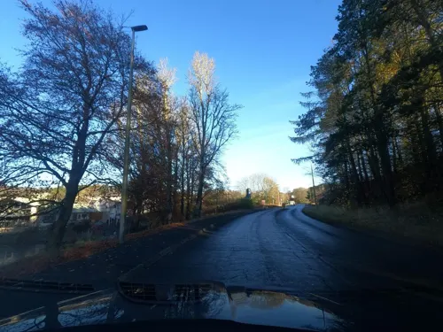
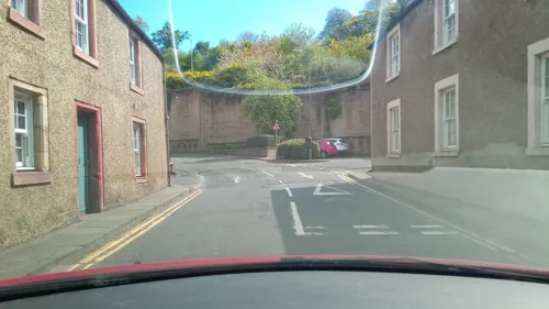
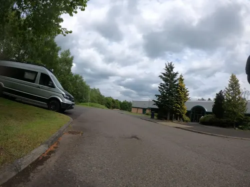
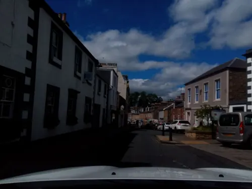
- Mapillary (see each image): photos
- OpenStreetMap contributors (ODbL 1.0): places, airports, map data
- Wikidata (CC0 1.0): elevation, founding date, time zone, website, landmarks and historic places
- Wikimedia Commons (see each image): photos
- Wikipedia (CC BY-SA 4.0): overview and history text
Photo credits
- 07397 Melrose Church of Scotland, Melrose 007, WeeHolly, CC BY-SA 4.0
- 07397 Melrose Church of Scotland, Melrose 004, WeeHolly, CC BY-SA 4.0
- 07397 Melrose Church of Scotland, Melrose 014, WeeHolly, CC BY-SA 4.0
- 07397 Melrose Church of Scotland, Melrose 001, WeeHolly, CC BY-SA 4.0
- 07397 Melrose Church of Scotland, Melrose 022, WeeHolly, CC BY-SA 4.0
- 07397 Melrose Church of Scotland, Melrose 019, WeeHolly, CC BY-SA 4.0
- 07397 Melrose Church of Scotland, Melrose 011, WeeHolly, CC BY-SA 4.0
- 07397 Melrose Church of Scotland, Melrose 013, WeeHolly, CC BY-SA 4.0
- 07397 Melrose Church of Scotland, Melrose 015, WeeHolly, CC BY-SA 4.0
- 07397 Melrose Church of Scotland, Melrose 020, WeeHolly, CC BY-SA 4.0
- 07397 Melrose Church of Scotland, Melrose 005, WeeHolly, CC BY-SA 4.0
- 07397 Melrose Church of Scotland, Melrose 012, WeeHolly, CC BY-SA 4.0
- 07397 Melrose Church of Scotland, Melrose 021, WeeHolly, CC BY-SA 4.0
- 07397 Melrose Church of Scotland, Melrose 008, WeeHolly, CC BY-SA 4.0
- 07397 Melrose Church of Scotland, Melrose 006, WeeHolly, CC BY-SA 4.0
- 07397 Melrose Church of Scotland, Melrose 018, WeeHolly, CC BY-SA 4.0
- 07397 Melrose Church of Scotland, Melrose 017, WeeHolly, CC BY-SA 4.0
- 07397 Melrose Church of Scotland, Melrose 010, WeeHolly, CC BY-SA 4.0
- 07397 Melrose Church of Scotland, Melrose 009, WeeHolly, CC BY-SA 4.0
- 07397 Melrose Church of Scotland, Melrose 023, WeeHolly, CC BY-SA 4.0
- 07397 Melrose Church of Scotland, Melrose 016, WeeHolly, CC BY-SA 4.0
- Scottsview3.1, Ruy Lestrade (www.flickr.com/semi-detached), CC BY-SA 3.0
- +1136 wurde Das Zisterienserkloster Melrose gegründet. 03, Holger Uwe Schmitt, CC BY-SA 4.0
- War memorial, Galashiels, Mainlymazza, CC BY-SA 4.0
- Trimontium, Unknown author, CC BY-SA 2.0 de
- Priorwood Garden, Melrose (48890440463), Tom Parnell from Scottish Borders, Scotland, CC BY-SA 2.0
- Melrose, High Street, George And Abbotsford Hotel, Victuallers, CC BY-SA 4.0
- Melrose, High Street, The Kings Arms Hotel, Victuallers, CC BY-SA 4.0
- Melrose, 2, 4, 6, 8 Market Square, Burt's Hotel, Victuallers, CC BY-SA 4.0
- Melrose, 3 Market Square, Bon Accord Hotel, Victuallers, CC BY-SA 4.0
- Station Hotel, 26 Market Square, Melrose, Victuallers, CC BY-SA 4.0
- Library And Flat, 18-20 Market Square, Melrose, Victuallers, CC BY-SA 4.0
- Dryburgh Abbey Bridge 1817-1818, Charles Knight 1791-1873, Public domain
- Harmony Garden and house, Victuallers, CC BY-SA 4.0
- Scottish Borders - Eildon Hill North - 20230728140405, LornaMCampbell, CC BY-SA 4.0
- Old-gala-house-by-night, James Denham, Public domain
- Commendator’s House Museum, Melrose Abbey (48890899301), Tom Parnell from Scottish Borders, Scotland, CC BY-SA 2.0
- Street-level photo, victuallers, CC BY-SA 4.0
- Street-level photo, victuallers, CC BY-SA 4.0
- Street-level photo, victuallers, CC BY-SA 4.0
- Street-level photo, victuallers, CC BY-SA 4.0
- Street-level photo, floatingboater, CC BY-SA 4.0
- Street-level photo, victuallers, CC BY-SA 4.0
- Street-level photo, floatingboater, CC BY-SA 4.0
- Street-level photo, victuallers, CC BY-SA 4.0
- Street-level photo, victuallers, CC BY-SA 4.0
- Street-level photo, floatingboater, CC BY-SA 4.0
- Street-level photo, victuallers, CC BY-SA 4.0
- Street-level photo, plexi32, CC BY-SA 4.0
- Street-level photo, floatingboater, CC BY-SA 4.0
- Street-level photo, floatingboater, CC BY-SA 4.0
- Street-level photo, floatingboater, CC BY-SA 4.0
- Street-level photo, floatingboater, CC BY-SA 4.0
- Street-level photo, victuallers, CC BY-SA 4.0
- Street-level photo, floatingboater, CC BY-SA 4.0
- Street-level photo, rudolfmayer, CC BY-SA 4.0
- Street-level photo, floatingboater, CC BY-SA 4.0
- Street-level photo, floatingboater, CC BY-SA 4.0
- Street-level photo, toho, CC BY-SA 4.0
- Street-level photo, martinl, CC BY-SA 4.0
- Street-level photo, plexi32, CC BY-SA 4.0
- Street-level photo, victuallers, CC BY-SA 4.0
- Street-level photo, floatingboater, CC BY-SA 4.0
- Street-level photo, floatingboater, CC BY-SA 4.0
- Street-level photo, victuallers, CC BY-SA 4.0


Page built November 10, 2026. Spotted a mistake? Tell us or suggest a place.