


Kilwinning, United Kingdom
Kilwinning is a town of 16,100 people in Scotland, United Kingdom.
Why visit Kilwinning
Townapedia lists 16 museums and landmarks, 6 parks and trails, 7 places to eat, 3 places to stay and 2 attractions in and around town.
Highlights include Eglinton Tournament Bridge, Lynn Spout, Dalgarven Mill Museum of Country Life and Costume and Scottish Maritime Museum.
Weather in Kilwinning
Forecast from MET Norway (CC BY 4.0). Full forecast
About Kilwinning
Kilwinning (, Scots: Kilwinnin; Scottish Gaelic: Cill D’Fhinnein) is a town in North Ayrshire, Scotland, located on the banks of the River Garnock in Ayrshire, about 21 miles (34 km) southwest of Glasgow. Kilwinning's neighbours are the coastal towns of Stevenston to the west and Irvine to the south, while inland lies Dalry to the north. It is known as "The Crossroads of Ayrshire". Kilwinning was also a Civil Parish.
From the Wikipedia article Kilwinning (this version), under CC BY-SA 4.0.
Travel tips from other travellers: Kilwinning on Wikivoyage (CC BY-SA 4.0).
Photos of Kilwinning


Things to do2

Eglinton Tournament Bridge
Bridge · 1.5 mi
Footbridge in North Ayrshire, Scotland, UK, across Lugton Water

Lynn Spout
Waterfall · 3.3 mi
Waterfall in North Ayrshire, Scotland, UK
Museums and landmarks16

Dalgarven Mill Museum of Country Life and Costume
Museum · 1.6 mi
Museum in Kilwinning, North Ayrshire, Scotland, United Kingdom

Scottish Maritime Museum
Museum · 3.2 mi
Maritime museum in Irvine and Dumbarton, Scotland, United Kingdom


4 more on the map.
Parks, trails and playgrounds6

Eglinton Country Park
Park · 1.6 mi
Country park in North Ayrshire, Scotland, UK


Restaurants and cafes7



History
Kilwinning dates back to the 8th century. The Kilwinning Community Archaeology Project carried out a dig in Kilwinning Abbey in 2010, which revealed much about the life of the people in the area during the medieval period.
According to John Hay, once the headmaster of the parish school in Kilwinning, "North Ayrshire has a history of religion stretching back to the very beginning of missionary enterprise in Scotland. The Celtic Christians or Culdees of the period of St Columba and St Mungo found here, in this part of Scotland, a fertile field for the propagation of the faith. Kilmarnock, Kilbride, Kilbirnie, are all, like Kilwinning, verbal evidence of the existence of 'Cillean' or cells of the Culdee or Celtic Church."
The original town was situated at the Bridgend and Corsehill while the other bank of the river was the site of the abbey, its outbuildings, orchards, doocot, etc.
The parish was in the ownership of Kelso Abbey from about 1140. Abbot Adam's Bridge, was constructed in mediaeval times with much of the original structure standing today. The bridge was widened in 1859.
After the dissolution of the monasteries, Kilwinning passed to the Earl of Eglinton. The Abbey church had been partly destroyed during the Reformation and a new parish church built in 1775. Lord Eglinton restored the Abbey church tower in 1789 and then replaced it in 1814.
From the History section of Kilwinning on Wikipedia, under CC BY-SA 4.0.
More about Kilwinning
Education
Kilwinning Academy is the only secondary school in Kilwinning. It was also served by St Michael's Academy, a catholic school, from 1921 until its demolition in 2007 when it was merged with St Andrew's Academy in nearby Saltcoats to create St Matthew's Academy.
Kilwinning is served by seven primary schools: Corsehill Primary School, Abbey Primary School, Blacklands Primary School, St Winning's Primary School, Pennyburn Primary School, Whitehirst Park Primary School and St Luke's Primary School.
James Watt College was built in Kilwinning in 1998 and opened in August of 2000. This brought some benefits to the town with increased revenue from the students supporting local businesses. In 2013, the campus became one of three Ayrshire College campuses, having merged with Kilmarnock College and Ayr College.
As of 2012, 37% of Kilwinning residents aged 16–74 had no formal qualifications; the national average was 33%.
There are a number of Community Halls in Kilwinning: Nethermains Community Centre, Cranberry Moss Community Centre, Whitehurst Community Centre, Pryde, The Woodwynd Hall and the Love Memorial Hall.
From the Wikipedia article Kilwinning, under CC BY-SA 4.0.
Notable people from Kilwinning
 James MacMillanScottish composer and conductor (born 1959)Photo: CTV Santa Cruz County, CC BY 3.0
 Des Browne, Baron Browne of LadytonBritish politician (born 1952)Photo: © House of Lords / photography by..., CC BY 3.0
 Colin FrielsAustralian actorPhoto: Titan View Pty Ltd, CC BY-SA 2.0
 Quintin CraufurdBritish authorPhoto: Pierre-Yves Beaudouin, CC BY-SA 3.0
 John LamontScottish Conservative politicianPhoto: ©House of Commons / photography by..., CC BY 3.0
 Henry EckfordScottish/American shipbuilder (1775-1832)Photo: Attributed to Naval Historical Center, Public domain
- Gordon McQueenScottish association football player and manager (1952–2023)
- Colin HayAustralian musician
- Jim StewartScottish footballer (born 1954)
- Hal DuncanScottish writer
- Julie FleetingScottish footballer (born 1980)
- Katy ClarkBritish politician (born 1967)
Born in Kilwinning, according to Wikidata (CC0). Each name links to its Wikipedia article.
Where to stay3
Churches and places of worship3
Shopping2
Gas and EV charging2
Schools, colleges and libraries11
St Winning's Primary School
School · Roman Catholic
St Winning's Road, Kilwinning
Map of Kilwinning
52 places. The map loads OpenStreetMap tiles when you open it.
Getting there and nearby towns
Glasgow Prestwick Airport (PIK) is the nearest airport with scheduled flights listed in OpenStreetMap, 11 miles away.
- Saltcoats 3 mi west, about 5 min by car
- Troon 8 mi south, about 13 min by car
- Largs 12 mi northwest, about 19 min by car
- Prestwick 12 mi south, about 20 min by car
- Paisley 16 mi northeast, about 26 min by car
- Newton Mearns 17 mi northeast, about 27 min by car
- Renfrew 19 mi northeast, about 31 min by car
- Port Glasgow 19 mi north, about 31 min by car
- Glasgow 23 mi northeast, about 37 min by car
- Rutherglen 23 mi northeast, about 37 min by car
Drive times are estimates from straight-line distance, not routes.
Towns near Kilwinning


Keep exploring
Local news
Headlines from INDB.
Reviews, tips and questions
Loading what members have shared...
Sources and licences
- GeoNames (CC BY 4.0): population, coordinates, regions and time zone
- Mapillary (see each image): photos
- OpenStreetMap contributors (ODbL 1.0): places, airports, map data
- Wikidata (CC0 1.0): elevation, founding date, time zone, website, landmarks and historic places
- Wikimedia Commons (see each image): photos
- Wikipedia (CC BY-SA 4.0): overview and history text
Photo credits
- 11185 Bridge Church, Kilwinning 003, WeeHolly, CC BY-SA 4.0
- 11185 Bridge Church, Kilwinning 002, WeeHolly, CC BY-SA 4.0
- 11185 Bridge Church, Kilwinning 001, WeeHolly, CC BY-SA 4.0
- 06937 St Wining's Roman Catholic Church. Kilwinning 003, WeeHolly, CC BY-SA 4.0
- 06937 St Wining's Roman Catholic Church. Kilwinning 013, WeeHolly, CC BY-SA 4.0
- 06937 St Wining's Roman Catholic Church. Kilwinning 015, WeeHolly, CC BY-SA 4.0
- 06937 St Wining's Roman Catholic Church. Kilwinning 016, WeeHolly, CC BY-SA 4.0
- 06937 St Wining's Roman Catholic Church. Kilwinning 019, WeeHolly, CC BY-SA 4.0
- 06937 St Wining's Roman Catholic Church. Kilwinning 018, WeeHolly, CC BY-SA 4.0
- 06937 St Wining's Roman Catholic Church. Kilwinning 006, WeeHolly, CC BY-SA 4.0
- 06937 St Wining's Roman Catholic Church. Kilwinning 005, WeeHolly, CC BY-SA 4.0
- 06937 St Wining's Roman Catholic Church. Kilwinning 007, WeeHolly, CC BY-SA 4.0
- 06937 St Wining's Roman Catholic Church. Kilwinning 017, WeeHolly, CC BY-SA 4.0
- 06937 St Wining's Roman Catholic Church. Kilwinning 008, WeeHolly, CC BY-SA 4.0
- 06937 St Wining's Roman Catholic Church. Kilwinning 009, WeeHolly, CC BY-SA 4.0
- 06937 St Wining's Roman Catholic Church. Kilwinning 014, WeeHolly, CC BY-SA 4.0
- 06937 St Wining's Roman Catholic Church. Kilwinning 001, WeeHolly, CC BY-SA 4.0
- 06937 St Wining's Roman Catholic Church. Kilwinning 012, WeeHolly, CC BY-SA 4.0
- 06937 St Wining's Roman Catholic Church. Kilwinning 004, WeeHolly, CC BY-SA 4.0
- Restored Tournament Bridge 1980, Rosser ( talk ), Public domain
- Lynn Spout Detail Dalry, Rosser ( talk ), Public domain
- Dalgarvenoldmill2, Rosser1954 at English Wikipedia, Public domain
- Linthousebuilding2, Rosser1954 at English Wikipedia, Public domain
- TheBigIdeaIrvine, Leslie Barrie, CC BY-SA 2.0
- Aerial view of Eglinton, Ayrshire, Scotland., Rosser ( talk ), Public domain
- Kilwinning abbey tower, Rosser1954 Roger Griffith, Public domain
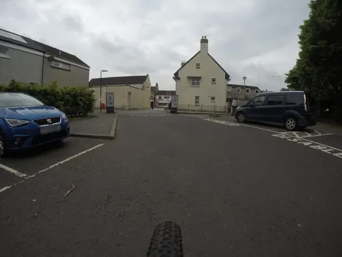
- Street-level photo, hobgoblin, CC BY-SA 4.0
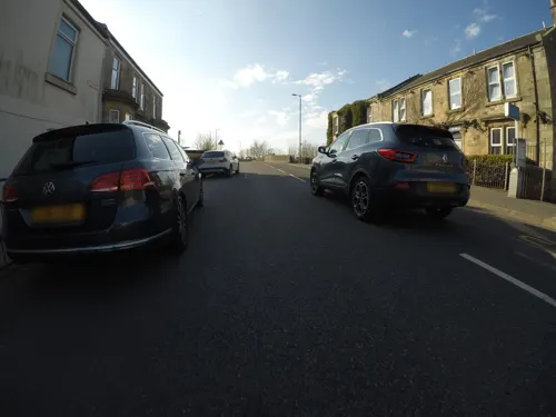
- Street-level photo, mfk, CC BY-SA 4.0
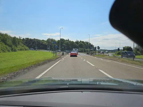
- Street-level photo, mfk, CC BY-SA 4.0
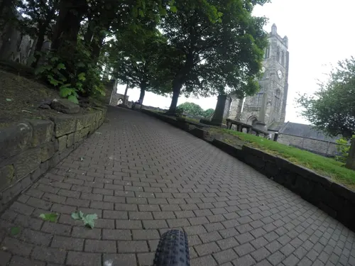
- Street-level photo, toho, CC BY-SA 4.0
- Street-level photo, mfk, CC BY-SA 4.0
- Street-level photo, mfk, CC BY-SA 4.0
- Street-level photo, mfk, CC BY-SA 4.0
- Street-level photo, mfk, CC BY-SA 4.0


Page built November 10, 2026. Spotted a mistake? Tell us or suggest a place.