


Why visit Kineton
Townapedia lists 4 museums and landmarks, 2 parks and trails and 7 places to eat in and around town.
Highlights include Compton Verney Art Gallery, Compton Verney and Burton Dassett Hills.
Weather in Kineton
Forecast from MET Norway (CC BY 4.0). Full forecast
About Kineton
Kineton is a village and civil parish on the River Dene in south-east Warwickshire, England. The village is part of Stratford-on-Avon district, and in the 2001 census it had a population of 2,278, increasing to 2,337 at the 2011 Census.
From the Wikipedia article Kineton (this version), under CC BY-SA 4.0.
Museums and landmarks4

Compton Verney Art Gallery
Museum · 1.9 mi
Art gallery at Compton Verney, England in a restored Grade I listed 18th century mansion
Tu-Su 11:00-17:00; Mo off

Compton Verney
Museum · 1.9 mi
Grade I listed country house museum in Warwickshire, England, United Kingdom

British Motor Museum
Museum · 2.6 mi
Transport museum in Gaydon, United Kingdom

Parks, trails and playgrounds2

Restaurants and cafes7
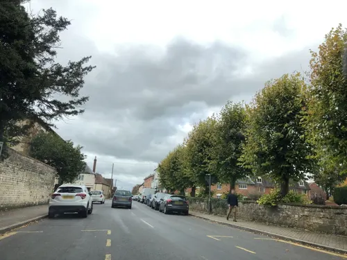
El Cafe @ The White Swan
Restaurant · Tapas
Banbury Street, Kineton
Mo-Su 11:00-23:00
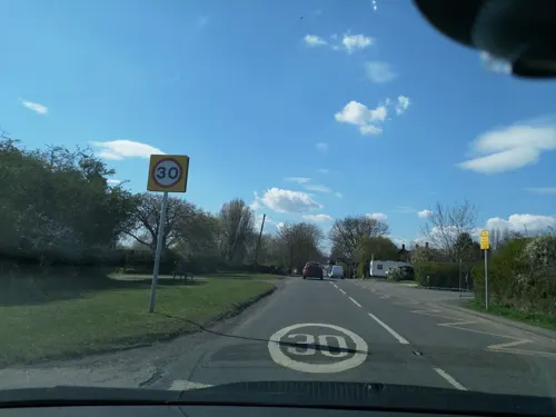
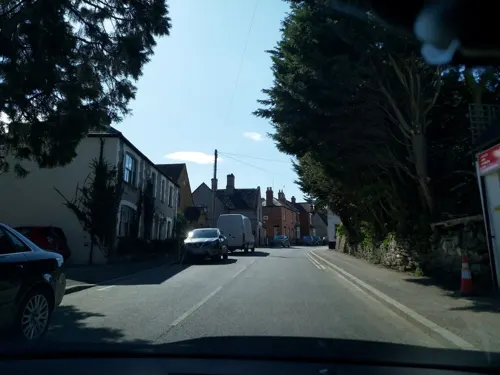
Fish & Chip Shop
Fast food · Fish And Chips
Banbury Street, Kineton


Churches and places of worship8

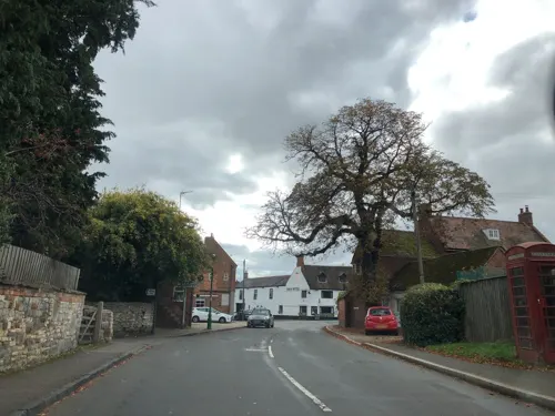
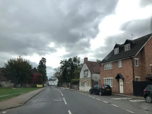

All Saints Church, Chadshunt
Church · 1.5 mi
Church in Chadshunt, Warwickshire, England, UK
Church of St Lawrence
Church · 3.6 mi
Grade I listed church in Oxhill, Warwickshire, United Kingdom
History
The first recorded reference to Kineton was in 969, when Saxon King Edgar granted some land here to a trusted counsellor.
The village is mentioned in the Domesday Book as Kington. On the outskirts of the village, at the foot of Pittern Hill, are the remains of the earthworks of a motte-and-bailey castle, known as King John's Castle, so called because it is believed that King John held a Court Leet there. Kineton gave its name to the area of south-east Warwickshire known as Kineton Hundred.
Early in the 13th century, Stephen de Segrave had a Tuesday market in his manor of Kineton, and a fair on the eve and day of St Peter and St Paul. The market died out by 1840, when the market house was pulled down and a school built on its site, but the fair on 5 February continued until recently.
For a period of the English Civil War, Kineton was looted by Prince Rupert with part of the Royalist army. This was after he had defeated Sir James Ramsay, from the Parliamentarians, and by doing this he failed to aid the rest of his army, thus leading to a neutral ending to the Battle of Edgehill on 23 October 1642. A year later, in July 1643, King Charles met with Queen Henrietta Maria at Kineton.
Read more of the history
John Newton who lived from 1725 to 1807 and for a while lived in the village of Kineton where he is rumoured to have written the words to "Amazing Grace" in 1772 but there is no contemporary evidence for this.
William Kendall, co-builder of Birmingham Town Hall and subsequent Warwick County Surveyor and Steward to the Earl of Warwick, lived in Little Kineton in 1841.
From the History section of Kineton on Wikipedia, under CC BY-SA 4.0.
Shopping1
Gas and EV charging2
Schools, colleges and libraries2
Healthcare1
Map of Kineton
27 places. The map loads OpenStreetMap tiles when you open it.
Getting there and nearby towns
Birmingham Airport (BHX) is the nearest airport with scheduled flights listed in OpenStreetMap, 23 miles away.
- Ettington 4 mi west, about 7 min by car
- Lower Brailes 7 mi south, about 12 min by car
- Royal Leamington Spa 9 mi north, about 14 min by car
- Stratford-upon-Avon 9 mi west, about 14 min by car
- Warwick 9 mi north, about 15 min by car
- Banbury 10 mi southeast, about 16 min by car
- Long Itchington 10 mi northeast, about 16 min by car
- Stockton 10 mi northeast, about 16 min by car
- Byfield 11 mi east, about 18 min by car
- Kenilworth 14 mi north, about 22 min by car
Drive times are estimates from straight-line distance, not routes.
Towns near Kineton


Keep exploring
Local news
Headlines from INDB.
Reviews, tips and questions
Loading what members have shared...
Sources and licences
- GeoNames (CC BY 4.0): population, coordinates, regions and time zone
- Mapillary (see each image): photos
- OpenStreetMap contributors (ODbL 1.0): places, airports, map data
- Wikidata (CC0 1.0): elevation, founding date, time zone, website, landmarks and historic places
- Wikimedia Commons (see each image): photos
- Wikipedia (CC BY-SA 4.0): overview and history text
Photo credits
- Kineton Village Centre, Arlo715, CC BY-SA 3.0
- New (ish) meets old in the village of Kineton, paulburr73, CC BY-SA 2.0
- Compton Verney House 1, Darius Khan, CC BY-SA 2.0
- Compton Verney 2 (7622670256), Tony Hisgett from Birmingham, UK, CC BY 2.0
- GaydonMHC, Andy C at English Wikipedia, Public domain
- Burton Hills, G-Man at English Wikipedia, Public domain
- Kineton StPeter south, Motacilla, CC BY-SA 4.0
- Street-level photo, laye, CC BY-SA 4.0
- Street-level photo, laye, CC BY-SA 4.0
- Street-level photo, laye, CC BY-SA 4.0
- Street-level photo, laye, CC BY-SA 4.0
- Street-level photo, laye, CC BY-SA 4.0
- Street-level photo, laye, CC BY-SA 4.0
- Street-level photo, laye, CC BY-SA 4.0
- Street-level photo, laye, CC BY-SA 4.0
- Street-level photo, laye, CC BY-SA 4.0
Page built November 10, 2026. Spotted a mistake? Tell us or suggest a place.