

Why visit Kington
Townapedia lists 2 museums and landmarks, 1 park or trail and 5 places to eat in and around town.
Highlights include Inkberrow Castle and Grafton Wood.
Weather in Kington
Forecast from MET Norway (CC BY 4.0). Full forecast
About Kington
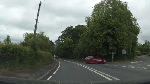
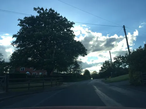
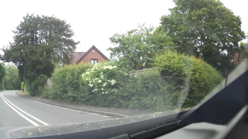
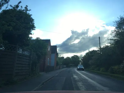
Kington is a village in Worcestershire, England, situated near to Flyford Flavell.
From the Wikipedia article Kington, Worcestershire (this version), under CC BY-SA 4.0.
Museums and landmarks2

Inkberrow Castle
Monument and historic site · 2.0 mi
Castle in Inkberrow, Worcestershire, England, UK
Derelict Royal Observer Corps Monitoring Post - Inkberrow
Monument and historic site · 1.5 mi
Parks, trails and playgrounds1

Restaurants and cafes5
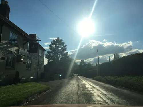
Churches and places of worship5
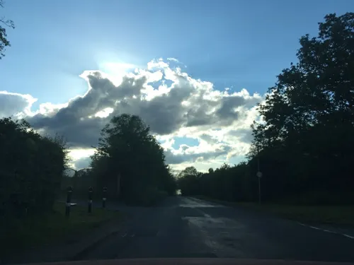

History
The earliest known recording of Kington in the Domesday Book under "cyne-turne" – the "King's farmstead".
Kington had two Anabaptist congregations in 1669, as with some other parts of eastern Worcestershire, where they had strongest support among poorer people.
In 1714 Mr and Mrs Woolmere sold the Manor of Kington to Thomas Vernon (1654–1721). As he had no children the estate passed to his second cousin Bowater Vernon and then in turn to Thomas Vernon (1724–1771).
From the History section of Kington, Worcestershire on Wikipedia, under CC BY-SA 4.0.
Gas and EV charging1
Schools, colleges and libraries1
Map of Kington
15 places. The map loads OpenStreetMap tiles when you open it.
Getting there and nearby towns
Birmingham Airport (BHX) is the nearest airport with scheduled flights listed in OpenStreetMap, 21 miles away.
- Inkberrow 2 mi northeast, about 3 min by car
- Harvington 6 mi southeast, about 9 min by car
- Droitwich 7 mi northwest, about 12 min by car
- Stoke Prior 7 mi north, about 12 min by car
- Redditch 8 mi north, about 13 min by car
- Evesham 8 mi south, about 13 min by car
- Wychbold 8 mi northwest, about 12 min by car
- South Littleton 8 mi southeast, about 13 min by car
- Worcester 9 mi west, about 14 min by car
- Bromsgrove 10 mi north, about 15 min by car
Drive times are estimates from straight-line distance, not routes.
Towns near Kington


Keep exploring
Local news
Headlines from INDB.
Reviews, tips and questions
Loading what members have shared...
Sources and licences
- GeoNames (CC BY 4.0): population, coordinates, regions and time zone
- Mapillary (see each image): photos
- OpenStreetMap contributors (ODbL 1.0): places, airports, map data
- Wikidata (CC0 1.0): elevation, founding date, time zone, website, landmarks and historic places
- Wikimedia Commons (see each image): photos
- Wikipedia (CC BY-SA 4.0): overview and history text
Photo credits
- Thecla betulae . topside - Flickr - gailhampshire, gailhampshire from Cradley, Malvern, U.K, CC BY 2.0
- Street-level photo, southglos, CC BY-SA 4.0
- Street-level photo, southglos, CC BY-SA 4.0
- Street-level photo, southglos, CC BY-SA 4.0
- Street-level photo, southglos, CC BY-SA 4.0
- Street-level photo, southglos, CC BY-SA 4.0
- Street-level photo, southglos, CC BY-SA 4.0
- Street-level photo, southglos, CC BY-SA 4.0
Page built November 10, 2026. Spotted a mistake? Tell us or suggest a place.