


Why visit Wychbold
Townapedia lists 3 museums and landmarks, 7 parks and trails, 12 places to eat, 4 places to stay and 3 attractions in and around town.
Highlights include Norbury House, Three Counties Produce, Avoncroft Museum of Historic Buildings and Hanbury Hall.
Weather in Wychbold
Forecast from MET Norway (CC BY 4.0). Full forecast
About Wychbold
Wychbold is a village in the Wychavon district of Worcestershire. The village is situated on the A38 between Droitwich Spa and Bromsgrove, and by Junction 5 of the M5 motorway. Its population was 2,001 in 2021.
From the Wikipedia article Wychbold (this version), under CC BY-SA 4.0.
Things to do3

Norbury House
Cinema and theater · 2.1 mi
Municipal building in England


Museums and landmarks3

Avoncroft Museum of Historic Buildings
Museum · 2.5 mi
Local independent museum in Bromsgrove, England, United Kingdom

Hanbury Hall
Museum · 1.9 mi
Grade I listed historic house museum in Wychavon, United Kingdom

Parks, trails and playgrounds7

Christopher Cadbury Wetland Reserve
Park · 1.1 mi
Nature reserve in Worcestershire, UK




The Christopher Cadbury Wetland Reserve (The Flash Pools)
Hiking and trails · 0.9 mi
Restaurants and cafes12
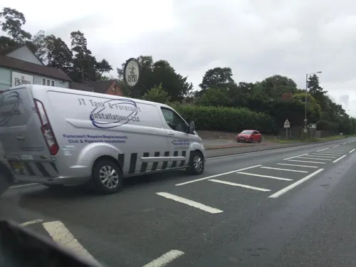
Robin Hood Inn
Bar and pub · 0.6 mi
Rashwood, Droitwich
Mo-Tu 11:30-22:00; We-Th 11:30-22:30; Fr 11:30-23:00; Sa...
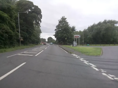
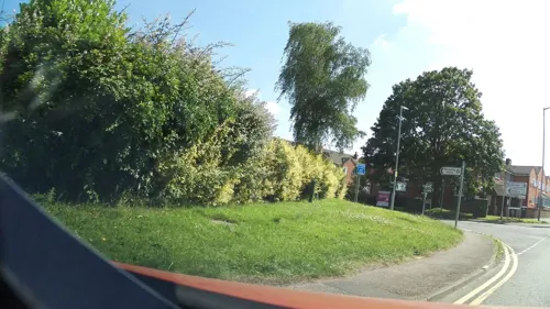

Webbs - The Restaurant
Restaurant · Regional · 0.9 mi
Worcester Road, Droitwich
Mo-Sa 09:00-17:00; Su 10:00-16:00




History
Evidence has been found of human settlement in Wychbold from the Iron Age and Roman times.
Various pits, ditches and postholes have been found in sites throughout the village, indicating the presence of roundhouses and a permanent Iron Age settlement. Archaeologists have also found various significant items from the Iron Age, such as broken vessels and a salt container from the Malvern Hills and Droitwich Spa. The presence of pottery from Malvern suggests that Wychbold had strong trade links outside of its immediate area, even in the Iron Age.
Wychbold is located on an old Roman road and salt road, now the A38. Romans are believed to have settled in the Wychbold area between the 1st and 4th century, shown by the presence of Severn Valley and samian pottery.
Read more of the history
The earliest known record of Wychbold is in a charter of 692 (where it is known as Uuicbold), describing how Æthelred of Mercia "granted ten hides of land there to his thegn Oslaf". The charter is generally considered to be fabricated, but describes the village as being "distinguished", suggesting that the village belonged to royalty at the time. The next known record of Wychbold is in a charter issued by Coenwulf of Mercia in 815. In this, and a later charter issued by Wiglaf of Mercia in 831, Wychbold is referred to as a royal vill, suggesting its importance as a royal base or even residence. Documents point to the existence of the Anglo–Saxon estate within Wychbold, but its location is currently unknown.
During the 11th century, possession of Wychbold passed from Earl Godwine to Osbern fitzRichard, who held it at the time of the Domesday Book. There were 11 hides (4 of which were exempt from tax), 5 mills and 26 salt–pans in the village. The population was around 50 people.
In 1204, William de Cantilupe, Sheriff of Worcestershire and steward to King John, came into possession of properties within the village.
During the Middle Ages, a manor house was built in Wychbold, north of Church Lane. Now known as Wychbold Court, the current timber-frame house dates back to the 16th or 17th century. Minor alterations have been made to the house, during the 19th and 20th centuries. Excavation near the Grade II listed house revealed pottery dating to the 13th or 14th century and evidence of farming in the area at the time.
There also once stood a manor house called Wychbold Hall within the village, the residence of the Amphlett family, described as being "modern" in 1911. It was in "perfect preservation" when it stood. The stone-flagged floor of the house was moved to Greyfriars, Worcester.
During the Second World War, communal air raid shelters were built on either end of Wychbold, along with a concrete blast shelter near the main road. The village's Home Guard worked out of the Crown Inn.
From the History section of Wychbold on Wikipedia, under CC BY-SA 4.0.
More about Wychbold
Geography
Wychbold is located between the towns of Droitwich Spa and Bromsgrove. The River Salwarpe runs around the outside of the village.
Nearby villages include Upton Warren and Stoke Prior to the north-east, and Rashwood to the south-west.
The Droitwich transmitting station is located just outside the village, near Upton Warren.
At the 2021 UK census, Wychbold had a population of 2,001. The White ethnic group made up 93.5% of the population, whilst Christianity was the largest religion, at 54%.
In recent years, Wychbold has seen the development of multiple housing estates, such as the Elmbridge Gardens site built in 2014. The increase in population put pressure on the village's school, with rising demand for admissions places forcing the school to expand. Plans for further housing developments have been criticised, citing pressures on local infrastructure.
Economy
Wychbold has several restaurants and pubs, including a Harvester and a McDonald's. Holiday Inn runs a hotel within the village, next to the motorway junction. There are also multiple petrol stations within the village, along the A38.
Webbs of Wychbold, a garden centre, is located just outside of Wychbold, and hires large numbers of staff from the local area. It is known for the number of events it puts on throughout the year, such as their Christmas ice rink, which bring visitors to the village. There is also a Hobbycraft and Cotswold Outdoor within the garden centre.
From the Wikipedia article Wychbold, under CC BY-SA 4.0.
Where to stay4
Churches and places of worship3
Shopping1
Gas and EV charging2
Schools, colleges and libraries1
Map of Wychbold
36 places. The map loads OpenStreetMap tiles when you open it.
Getting there and nearby towns
Birmingham Airport (BHX) is the nearest airport with scheduled flights listed in OpenStreetMap, 19 miles away.
- Stoke Prior 2 mi northeast, about 3 min by car
- Droitwich 2 mi southwest, about 4 min by car
- Bromsgrove 4 mi northeast, about 6 min by car
- Hartlebury 6 mi northwest, about 9 min by car
- Redditch 7 mi east, about 12 min by car
- Belbroughton 7 mi north, about 11 min by car
- Hallow 7 mi southwest, about 12 min by car
- Worcester 8 mi southwest, about 13 min by car
- Stourport-on-Severn 8 mi northwest, about 12 min by car
- Kidderminster 9 mi northwest, about 14 min by car
Drive times are estimates from straight-line distance, not routes.
Towns near Wychbold


Keep exploring
Local news
Headlines from INDB.
Reviews, tips and questions
Loading what members have shared...
Sources and licences
- GeoNames (CC BY 4.0): population, coordinates, regions and time zone
- Mapillary (see each image): photos
- OpenStreetMap contributors (ODbL 1.0): places, airports, map data
- Wikidata (CC0 1.0): elevation, founding date, time zone, website, landmarks and historic places
- Wikimedia Commons (see each image): photos
- Wikipedia (CC BY-SA 4.0): overview and history text
Photo credits
- Avoncroft Windmill, Mike Goodwin, CC BY-SA 2.0
- Hanbury Hall front, Sjwells53, CC BY-SA 3.0
- Hanbury Church from North-East, Hjheath1, CC BY-SA 3.0
- 2015-12-29 Chateau Impney, Bs0u10e01, CC BY-SA 4.0
- Christopher Cadbury Wetland - Upton Warren - Andy Mabbett, Andy Mabbett, CC BY-SA 3.0
- Street-level photo, southglos, CC BY-SA 4.0
- Street-level photo, southglos, CC BY-SA 4.0
- Street-level photo, southglos, CC BY-SA 4.0
- Street-level photo, southglos, CC BY-SA 4.0
- Street-level photo, southglos, CC BY-SA 4.0
- Street-level photo, southglos, CC BY-SA 4.0
- Street-level photo, southglos, CC BY-SA 4.0
Page built November 10, 2026. Spotted a mistake? Tell us or suggest a place.