


Kirkby Stephen, United Kingdom
Kirkby Stephen is a town of 1,522 people in England, United Kingdom.
Why visit Kirkby Stephen
Townapedia lists 7 museums and landmarks, 1 park or trail, 19 places to eat, 8 places to stay and 7 attractions in and around town.
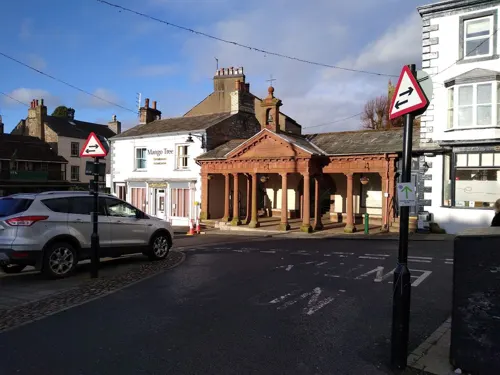
Highlights include Kirkby Stephen War Memorial, Lesley Rowe and The HIVE.
Weather in Kirkby Stephen
Forecast from MET Norway (CC BY 4.0). Full forecast
About Kirkby Stephen
Kirkby Stephen () is a market town and civil parish in Westmorland and Furness, Cumbria, England. It lies on the A685 and is surrounded by sparsely populated hill country, about 25 miles (40 km) from the nearest larger towns, Kendal and Penrith. The River Eden rises 6 miles (10 km) away in the peat bogs below Hugh Seat and passes the eastern edge of the town. At the 2021 census, the parish had a population of 1,895.
From the Wikipedia article Kirkby Stephen (this version), under CC BY-SA 4.0.
Things to do7

Museums and landmarks7


Parks, trails and playgrounds1

Restaurants and cafes19
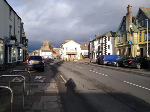
The White Hare Cafe
Cafe
40 Market Street, Kirkby Stephen
Th,Fr 10:00-16:00; Sa,Su 09:30-16:00; Mo,Tu,We off
Century
Restaurant · Chinese
5 Waltons Yard, Kirkby Stephen
Mo,Tu off; We-Su 17:00-22:00
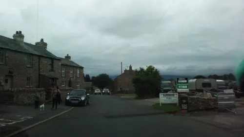
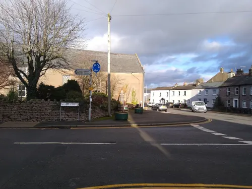
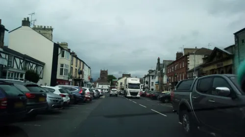
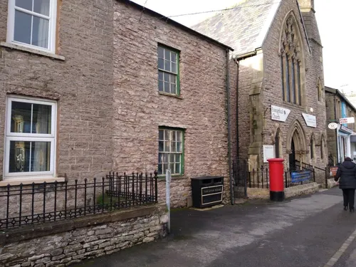
The La'l Nook
Bar and pub
1 Croft Street, Kirkby Stephen
Fr,Sa 16:00-23:00; Su 16:00-22:00
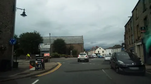

The Engine Shed
Bar and pub · 0.7 mi
Station Road
Mo-Sa 16:00-22:00; We off; Su 14:00-21:00

The Mulberry Bush
Cafe
35 Market Street, Kirkby Stephen
Mo-Th,Su 09:00-16:00; Fr,Sa 08:30-16:00
7 more on the map.
Notable people from Kirkby Stephen
- John LanghorneEnglish clergyman, poet, translator, editor and author (1735–1779)
- Ben ChapmanBritish politician (born 1940)
- Richard BurnBritish legal writer; (1709-1785)
- Carl TaylorEnglish footballer (born 1937)
- Jack McIntoshstrongman
Born in Kirkby Stephen, according to Wikidata (CC0). Each name links to its Wikipedia article.
Where to stay8
Churches and places of worship6
Shopping9
Gas and EV charging2
Schools, colleges and libraries3
Healthcare1
Map of Kirkby Stephen
63 places. The map loads OpenStreetMap tiles when you open it.
Getting there and nearby towns
Carlisle Lake District Airport (CAX) is the nearest airport with scheduled flights listed in OpenStreetMap, 37 miles away.
- Shap 14 mi west, about 22 min by car
- Kendal 19 mi southwest, about 30 min by car
- Burneside 19 mi southwest, about 30 min by car
- Staveley 20 mi west, about 32 min by car
- Penrith 21 mi northwest, about 34 min by car
- Kirkby Lonsdale 21 mi southwest, about 34 min by car
- Staindrop 23 mi east, about 37 min by car
- Stanhope 23 mi northeast, about 38 min by car
- Bishop Auckland 30 mi northeast, about 48 min by car
- Darlington 32 mi east, about 52 min by car
Drive times are estimates from straight-line distance, not routes.
Towns near Kirkby Stephen


Keep exploring
Local news
Headlines from INDB.
Reviews, tips and questions
Loading what members have shared...
Sources and licences
- GeoNames (CC BY 4.0): population, coordinates, regions and time zone
- Mapillary (see each image): photos
- OpenStreetMap contributors (ODbL 1.0): places, airports, map data
- Wikidata (CC0 1.0): elevation, founding date, time zone, website, landmarks and historic places
- Wikimedia Commons (see each image): photos
- Wikipedia (CC BY-SA 4.0): overview and history text
Photo credits
- Kirkby Stephen 7097, Clem Rutter, Rochester, Kent, CC BY 3.0
- Kirkby Stephen centre, Kreuzschnabel, CC BY-SA 3.0
- St Stephen's Kirkby Stephen, Jhsteel, CC BY-SA 3.0
- Kirkby Stephen Hostel, Smb1001, CC BY-SA 4.0
- Street-level photo, mainlymazza, CC BY-SA 4.0
- Street-level photo, jethro10, CC BY-SA 4.0
- Street-level photo, mainlymazza, CC BY-SA 4.0
- Street-level photo, jethro10, CC BY-SA 4.0
- Street-level photo, mainlymazza, CC BY-SA 4.0
- Street-level photo, jethro10, CC BY-SA 4.0
- Street-level photo, mainlymazza, CC BY-SA 4.0
- Street-level photo, mainlymazza, CC BY-SA 4.0
- Street-level photo, jethro10, CC BY-SA 4.0
- Street-level photo, mainlymazza, CC BY-SA 4.0
- Street-level photo, mainlymazza, CC BY-SA 4.0
- Street-level photo, mainlymazza, CC BY-SA 4.0
- Street-level photo, mainlymazza, CC BY-SA 4.0
- Street-level photo, mainlymazza, CC BY-SA 4.0
- Street-level photo, mainlymazza, CC BY-SA 4.0
- Street-level photo, jethro10, CC BY-SA 4.0
- Street-level photo, mainlymazza, CC BY-SA 4.0
- Street-level photo, jethro10, CC BY-SA 4.0
- Street-level photo, mainlymazza, CC BY-SA 4.0
- Street-level photo, mainlymazza, CC BY-SA 4.0
- Street-level photo, jethro10, CC BY-SA 4.0
- Street-level photo, mainlymazza, CC BY-SA 4.0
- Street-level photo, mainlymazza, CC BY-SA 4.0
- Street-level photo, mainlymazza, CC BY-SA 4.0
- Street-level photo, jethro10, CC BY-SA 4.0
Page built November 10, 2026. Spotted a mistake? Tell us or suggest a place.