


Why visit Stanhope
Townapedia lists 9 museums and landmarks, 1 park or trail, 10 places to eat and 6 places to stay in and around town.
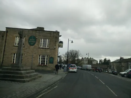
Highlights include Market Cross and Stanhope War Memorial.
Weather in Stanhope
Forecast from MET Norway (CC BY 4.0). Full forecast
About Stanhope
Stanhope is a market town and civil parish in the County Durham district, in the ceremonial county of Durham, England. It lies on the River Wear between Eastgate and Frosterley, in the north-east of Weardale. The main A689 road over the Pennines is crossed by the B6278 between Barnard Castle and Shotley Bridge near Consett. At the 2021 census, Stanhope had a population of 1,572, which in 2019, was previously estimated at 1,627.
From the Wikipedia article Stanhope, County Durham (this version), under CC BY-SA 4.0.
Travel tips from other travellers: Stanhope on Wikivoyage (CC BY-SA 4.0).
Museums and landmarks9
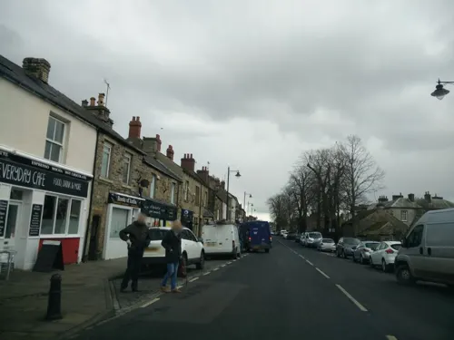

Weardale Railway
Monument and historic site · 0.7 mi
Bondisle Way, Bishop Auckland

Crawley Edge Cairns
Monument and historic site · 0.8 mi
Archaeological site in United Kingdom
Heathery Burn Cave
Monument and historic site · 1.1 mi
Cave and archaeological site in the United Kingdom
Parks, trails and playgrounds1

Restaurants and cafes10
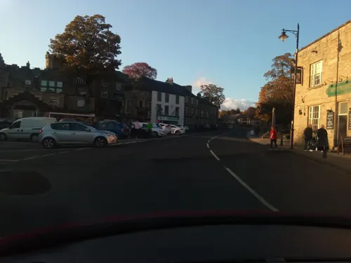

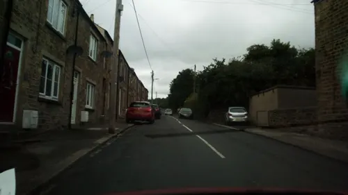
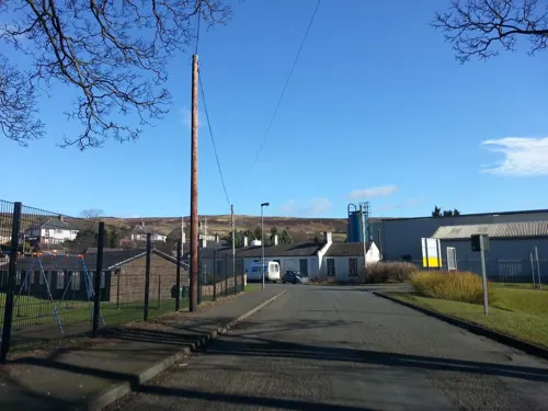
The Bonny Moorhen
Bar and pub · 0.4 mi
25 Front Street, Bishop Auckland
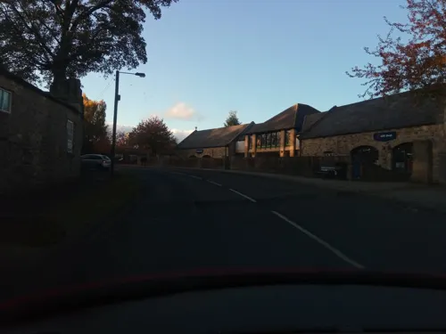
Fifteas Vintage Tea Room
Cafe · 0.7 mi
Bondisle Way, Bishop Auckland
We-Su 10:00-16:00
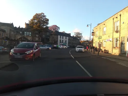
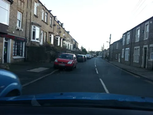
Sports & Social Club
Bar and pub · 0.6 mi
3-4 Dales Terrace, Bishop Auckland
Roots of India
Fast food · Indian · 0.5 mi
31 Front Street, Bishop Auckland
Su-Th 17:30-22:00; Fr,Sa 17:00-22:30
Where to stay6


Notable people from Stanhope
 Henry H. SlaterBritish ornithologist, entomologist and botanist (1851-1934)Photo: Henry H. Slater (1851–1934), Public domain
- William Percival CrozierBritish journalist and editor of the Manchester Guardian (1879-1944)
- Robert Alfred Humble
Born in Stanhope, according to Wikidata (CC0). Each name links to its Wikipedia article.
Churches and places of worship2
Shopping4
Gas and EV charging1
Schools, colleges and libraries1
Healthcare2
Map of Stanhope
36 places. The map loads OpenStreetMap tiles when you open it.
Getting there and nearby towns
Newcastle International Airport (NCL) is the nearest airport with scheduled flights listed in OpenStreetMap, 24 miles away.
- Consett 10 mi northeast, about 17 min by car
- Annfield Plain 13 mi northeast, about 21 min by car
- Stanley 15 mi northeast, about 24 min by car
- Bishop Auckland 15 mi southeast, about 24 min by car
- Hexham 16 mi north, about 25 min by car
- Prudhoe 16 mi northeast, about 26 min by car
- Tanfield 16 mi northeast, about 25 min by car
- Spennymoor 17 mi east, about 27 min by car
- Durham 18 mi east, about 28 min by car
- Chester-le-Street 19 mi northeast, about 31 min by car
Drive times are estimates from straight-line distance, not routes.
Towns near Stanhope


Keep exploring
Local news
Headlines from INDB.
Reviews, tips and questions
Loading what members have shared...
Sources and licences
- GeoNames (CC BY 4.0): population, coordinates, regions and time zone
- Mapillary (see each image): photos
- OpenStreetMap contributors (ODbL 1.0): places, airports, map data
- Wikidata (CC0 1.0): elevation, founding date, time zone, website, landmarks and historic places
- Wikimedia Commons (see each image): photos
- Wikipedia (CC BY-SA 4.0): overview and history text
Photo credits
- Methodist Chapel stanhope, Victuallers, CC BY-SA 4.0
- Phoenix Inn was, Victuallers, CC BY-SA 4.0
- Stanhope Station on the Weardale Railway, Dennis Lovett, CC BY-SA 2.0
- Street-level photo, victuallers, CC BY-SA 4.0
- Street-level photo, stevenhorner, CC BY-SA 4.0
- Street-level photo, mainlymazza, CC BY-SA 4.0
- Street-level photo, victuallers, CC BY-SA 4.0
- Street-level photo, victuallers, CC BY-SA 4.0
- Street-level photo, stevenhorner, CC BY-SA 4.0
- Street-level photo, stevenhorner, CC BY-SA 4.0
- Street-level photo, stevenhorner, CC BY-SA 4.0
- Street-level photo, stevenhorner, CC BY-SA 4.0
- Street-level photo, stevenhorner, CC BY-SA 4.0
- Street-level photo, victuallers, CC BY-SA 4.0
- Street-level photo, stevenhorner, CC BY-SA 4.0
- Street-level photo, stevenhorner, CC BY-SA 4.0
- Street-level photo, victuallers, CC BY-SA 4.0
- Street-level photo, victuallers, CC BY-SA 4.0
Page built November 10, 2026. Spotted a mistake? Tell us or suggest a place.