
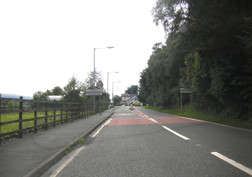


Kirkconnel, United Kingdom
Kirkconnel is a town of 2,070 people in Scotland, United Kingdom.
Why visit Kirkconnel
Townapedia lists 7 museums and landmarks, 1 place to eat and 2 attractions in and around town.
Highlights include Euchan Fall, Greymare's Tail and Tolbooth, High Street, Sanquhar.
Weather in Kirkconnel
Forecast from MET Norway (CC BY 4.0). Full forecast
About Kirkconnel
Kirkconnel (Gaelic: Cille Chonbhaill) is a small parish in Dumfries and Galloway, southwestern Scotland. It is located on the A76 near the head of Nithsdale. Principally it was a mining community thriving until the late 1960s when the local mine, Fauldhead colliery closed. It has strong ties to football.
From the Wikipedia article Kirkconnel (this version), under CC BY-SA 4.0.
Things to do2

Euchan Fall
Waterfall · 3.0 mi
Waterfall in Dumfries and Galloway, Scotland, UK
Greymare's Tail
Waterfall · 2.1 mi
Waterfall on Churn Burn, north of Kirkconnel in Dumfries and Galloway, Scotland, UK
Museums and landmarks7
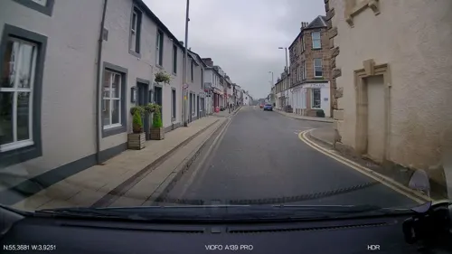
Tolbooth, High Street, Sanquhar
Museum · 3.1 mi
Municipal building in Sanquhar, Scotland

Restaurants and cafes1

Shopping1

History
The early church and settlement were situated at the foot of Kirkland Hill on the drove road from Ayrshire to Lanarkshire, which followed the steep incline beside the Glenaylmer Burn. Whether Saint Conal was a Culdee monk and missionary from Gaelic Ireland or the son of a local shepherd befriended and educated by Glasgow's Saint Mungo, Christianity came early to this part of Nithsdale. A Celtic cross, erected in 1880 by the Duke of Buccleuch at the instigation of the Church of Scotland minister, the Rev. John Donaldson, marks the reputed burial place of Saint Conal. From the neighbourhood of the cross, on a clear day, can be seen the churches at Kirkconnel, Sanquhar and Kirkbride, all associated with Saint Conal.
St Conal's Church is one of the oldest church sites in Southern Scotland with archaeological remains dating to the 9th century and the present foundations of a church dating back to the 12th and 13th centuries.
Life changed dramatically for this small town in the 1890s when a coal pit was opened at Fauldheld. Coal had always been mined in the district before, but never in large quantities. From then on coal dominated the life of the little town. The coal industry moved away in recent decades, and with it much of the population.
From the History section of Kirkconnel on Wikipedia, under CC BY-SA 4.0.
Notable people from Kirkconnel
- Alexander AndersonScottish poet (1845-1909)
- Bill TaylorBritish association football player (born 1938)
- Jim KerrScottish footballer (1942-2008)
- Alex Gibsonassociation football player (1939-2003)
Born in Kirkconnel, according to Wikidata (CC0). Each name links to its Wikipedia article.
Schools, colleges and libraries1
Healthcare1
Map of Kirkconnel
13 places. The map loads OpenStreetMap tiles when you open it.
Getting there and nearby towns
Glasgow Prestwick Airport (PIK) is the nearest airport with scheduled flights listed in OpenStreetMap, 25 miles away.
- Sanquhar 3 mi southeast, about 5 min by car
- New Cumnock 7 mi west, about 12 min by car
- Logan 10 mi northwest, about 17 min by car
- Thornhill 14 mi southeast, about 22 min by car
- Mauchline 17 mi northwest, about 28 min by car
- Strathaven 20 mi north, about 33 min by car
- Lanark 22 mi northeast, about 35 min by car
- Kilmarnock 25 mi northwest, about 40 min by car
- Meikle Earnock 25 mi north, about 41 min by car
- Ayr 25 mi west, about 41 min by car
Drive times are estimates from straight-line distance, not routes.
Towns near Kirkconnel


Keep exploring
Local news
Headlines from INDB.
Reviews, tips and questions
Loading what members have shared...
Sources and licences
- GeoNames (CC BY 4.0): population, coordinates, regions and time zone
- Mapillary (see each image): photos
- OpenStreetMap contributors (ODbL 1.0): places, airports, map data
- Wikidata (CC0 1.0): elevation, founding date, time zone, website, landmarks and historic places
- Wikimedia Commons (see each image): photos
- Wikipedia (CC BY-SA 4.0): overview and history text
Photo credits
- A 76 entering Kirkconnel, Peter Bond, CC BY-SA 2.0
- 06939 Former St Conal's Roman Catholic Church, Kirkconnel 001, WeeHolly, CC BY-SA 4.0
- 02780 Former Salvation Army Church, Kirkconnel 001, WeeHolly, CC BY-SA 4.0
- Kirkconnel Railway Station, Robertcampbell180, CC BY 3.0
- Kirkconnel6, Darrin Antrobus, CC BY-SA 2.0
- Street-level photo, IpswichEdits, CC BY-SA 4.0
- Street-level photo, trigpoint, CC BY-SA 4.0
- Street-level photo, southglos, CC BY-SA 4.0
- Street-level photo, southglos, CC BY-SA 4.0
Page built November 10, 2026. Spotted a mistake? Tell us or suggest a place.