


Mauchline, United Kingdom
Mauchline is a town of 4,130 people in Scotland, United Kingdom.
Why visit Mauchline
Townapedia lists 17 museums and landmarks, 1 park or trail, 4 places to eat, 1 place to stay and 2 attractions in and around town.
Highlights include Ballochmyle Viaduct, Burns House Museum, Burns Monument, Mauchline and Ballochmyle Golf Club.
Weather in Mauchline
Forecast from MET Norway (CC BY 4.0). Full forecast
About Mauchline
Mauchline (; Scottish Gaelic: Maghlinn) is a town and civil parish in East Ayrshire, Scotland. In the 2001 census Mauchline had a recorded population of 4,105. It is home to the National Burns Memorial.
From the Wikipedia article Mauchline (this version), under CC BY-SA 4.0.
Things to do2

Ballochmyle Viaduct
Bridge · 1.3 mi
Railway bridge in East Ayrshire, Scotland

Museums and landmarks17
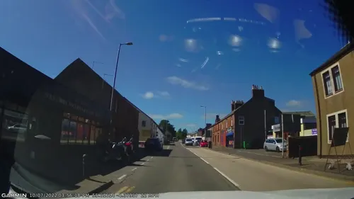
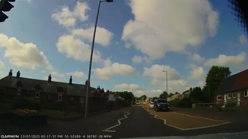
Burns Monument, Mauchline
Monument and historic site · 0.5 mi
Monument in East Ayrshire, Scotland, UK



Ballochmyle Cup & Ring Markings (Kingencleugh Panel)
Monument and historic site · 1.3 mi
5 more on the map.
Parks, trails and playgrounds1

Restaurants and cafes4
Woodys Ice Cream Parlour & Dessert Bar
Ice cream
57 Loudoun Street, Mauchline
Tu-Fr 13:00-21:00, Sa-Su 12:00-21:00
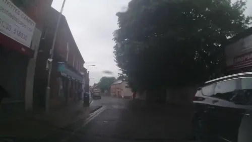
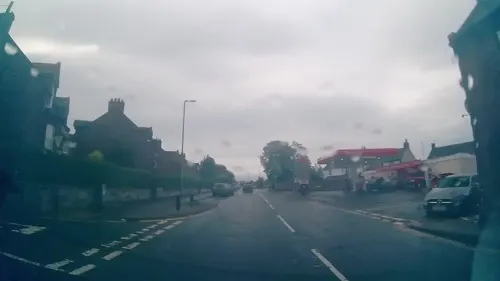
The Wee Chippy
Fast food · Fish And Chips
18 Earl Grey Street, Mauchline
Tu-Th 16:00-21:00; Fr-Sa 16:00-21:30; Su 16:00-21:00
Ninety Eight Cantonese Cuisine Take-Away
Fast food · Chinese
4 Loudoun Street, Mauchline
History
In 1165, Walter fitz Alan, Steward of Scotland, granted a charter giving land to the Cistercian monks of Melrose. In those days the parish extended to the border with Lanarkshire at Glenbuck. The monks built an abbey, the ruins of which still exist and are known as Hunters Tower or, more recently, as Mauchline Castle. Mauchline was created a burgh of barony by James IV in 1510 and was granted a further charter in 1610; both these charters however have been lost, believed to have perished in a fire at Register House, Edinburgh, in the 17th century. A ley tunnel is said to run from the castle of Mauchline to that of Kingencleugh.
Mauchline featured in the Scottish Reformation. After the reformation the lands of Mauchline passed into the hands of the Earl of Loudoun, and no further historical events are recorded in the parish.
The Holy Fair has been revived as an annual event in Mauchline. Formerly horse races were held on the road from the National Burns Memorial past Mossgiel as part of the annual Mauchline Fair.
Read more of the history
In 1544 George Wishart, an influential Protestant preacher, visited Mauchline to find the doors of St Michael's church barred against him. His reaction to this was to retreat to Mauchline Moor and to preach for over three hours to a large congregation, under the watchful eye of the Sheriff of Ayr and an armed force. John Knox also preached in Mauchline in 1599 after his return from exile in France and Switzerland. When the Scottish Parliament adopted the Scots Confession of 1560, the reformation was immediately accepted in Mauchline.
Later, Mauchline became something of a stronghold for the Covenanter movement. Mauchline Parish's minister at the time, Reverend George Young, signed the Covenant in Greyfriars Church in Edinburgh in 1633 and subscribed to the Solemn League and Covenant in 1643, and several battles and skirmishes took place in the area during the Wars of the Three Kingdoms. In 1684 the Covenanter James Smith was wounded during a skirmish at Burn of Ann in Kyle. He was taken to Mauchline where he died in prison. In 1685 five men from the town were dragged out of their homes and executed at the loan. A monument was placed over their grave (this was removed in 1861 and replaced by a plinth, with the original monument being built into the wall of the school shed where it stands to this day). The Battle of Mauchline Muir took place in 1648 between Covenanters and Royalist troops. A Covenanters' flag from this battle still hangs in the church. The flag was also carried at the battles of Drumclog and Bothwell Brig.
The village has at some point been a centre for quarrying sandstone, clock making, box-work, and the production of curling stones.
The sandstone quarry dates back to the 18th century. The peak of production and demand was at the turn of the 19th century when over 200 men were employed at the quarry. A railway siding was installed and as many as 60 wagons a day were transported from Mauchline. Many old buildings throughout the West of Scotland are built with Mauchline sandstone, and stone was being sent as far away as America. After 1918 the use of sandstone declined (houses were built with bricks instead) and this coupled with increased costs meant that eventually, in the 1950s, the last quarry closed.
In the 18th century, Mauchline was renowned for clock making – John "Clockie" Brown is buried in the Kirkyard. The industry declined in the 19th century.
The production of Scottish white-wood products, or Mauchline ware, was carried out from the 1820s until 1939 by the firm of W & A Smith, among other less long-lived manufacturers. The wood used was sycamore. These boxes were extremely collectable. They ranged from the basic transfer as on small vases, each piece having the view of the place of purchase. The transfer subjects ranged across Scotland and more of the British Isles to the rest of the world. Tartan ware was also extremely popular as a result of the Smiths inventing a machine for "weaving" tartan designs on paper. Fernware was introduced in the 1870s. This involved applying actual ferns to the wood which was then stippled in dark brown, the ferns removed and the wood varnished. These products were sent all over the world. A fire in 1933 stopped production, which was never restarted, and W & A Smith finally closed down in 1939.
The making of curling stones began in the 19th century and for many years experienced full production, however for various reasons, the industry began to decline. Forty people were employed in the 1960s compared to a dozen now. However, the Kays of Scotland curling stone factory is now the only one of its kind in the world, leading to an upsurge in trade.
From the History section of Mauchline on Wikipedia, under CC BY-SA 4.0.
Notable people from Mauchline
 John MurrayAustralian pastoralist and politicianPhoto: P.G. Poulsen, Public domain
 Gavin HamiltonScottish landownerPhoto: Rosser1954, CC BY-SA 4.0
 Mary MorisonMuse of Robert BurnsPhoto: Rosser1954, CC BY-SA 3.0
 Willie ClarkeScottish footballer (1878–1949)Photo: Taddy & Co. Cigarette Cards, Public domain
- John Smithassociation footballer from Scotland (1855-1937)
- Thomas McMillanScottish footballer (1866-1928)
- Sean McArdleScottish footballer
- Hughie WilsonScottish footballer (1869-1940)
- Frank ReidScottish footballer (1920-1970)
- Tommy HyslopScottish footballer (1874-1936)
- George AllanScottish footballer, born 1885
- James BellScottish footballer (1866-?)
Born in Mauchline, according to Wikidata (CC0). Each name links to its Wikipedia article.
Where to stay1
Churches and places of worship1
Shopping1
Gas and EV charging1
Schools, colleges and libraries1
Map of Mauchline
29 places. The map loads OpenStreetMap tiles when you open it.
Getting there and nearby towns
Glasgow Prestwick Airport (PIK) is the nearest airport with scheduled flights listed in OpenStreetMap, 9 miles away.
- Logan 7 mi southeast, about 11 min by car
- Kilmarnock 8 mi northwest, about 13 min by car
- Prestwick 10 mi west, about 15 min by car
- Ayr 11 mi west, about 17 min by car
- Troon 11 mi west, about 18 min by car
- New Cumnock 11 mi southeast, about 18 min by car
- Springside 11 mi northwest, about 17 min by car
- Stewarton 12 mi northwest, about 20 min by car
- Irvine 13 mi northwest, about 21 min by car
- Kilwinning 16 mi northwest, about 26 min by car
Drive times are estimates from straight-line distance, not routes.
Towns near Mauchline


Keep exploring
Local news
Headlines from INDB.
Reviews, tips and questions
Loading what members have shared...
Sources and licences
- GeoNames (CC BY 4.0): population, coordinates, regions and time zone
- Mapillary (see each image): photos
- OpenStreetMap contributors (ODbL 1.0): places, airports, map data
- Wikidata (CC0 1.0): elevation, founding date, time zone, website, landmarks and historic places
- Wikimedia Commons (see each image): photos
- Wikipedia (CC BY-SA 4.0): overview and history text
Photo credits
- National Burns Memorial, Rosser1954, CC BY-SA 3.0
- Kingencleugh House, Rosser1954, CC BY-SA 3.0
- Mauchline Castle 1790 - Ayrshire, Roger Griffith, Public domain
- Kingencleugh Castle - side of castle tower, Rosser1954, CC BY-SA 3.0
- Mauchline Castle - Abbot Hunter's Tower, Billy McCrorie, CC BY-SA 2.0
- Street-level photo, trigpoint, CC BY-SA 4.0
- Street-level photo, trigpoint, CC BY-SA 4.0
- Street-level photo, gmc, CC BY-SA 4.0
- Street-level photo, trigpoint, CC BY-SA 4.0
- Street-level photo, gmc, CC BY-SA 4.0
- Street-level photo, trigpoint, CC BY-SA 4.0
- Street-level photo, trigpoint, CC BY-SA 4.0
- Street-level photo, trigpoint, CC BY-SA 4.0
- Street-level photo, trigpoint, CC BY-SA 4.0
- Street-level photo, trigpoint, CC BY-SA 4.0
- Street-level photo, gmc, CC BY-SA 4.0
Page built November 10, 2026. Spotted a mistake? Tell us or suggest a place.