



Why visit Knowle
Townapedia lists 7 museums and landmarks, 16 parks and trails, 40 places to eat and 5 places to stay in and around town.
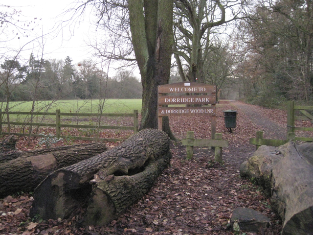
Highlights include Baddesley Clinton, Packwood House, Dorridge Wood and Copt Heath Golf Club.
Weather in Knowle
Forecast from MET Norway (CC BY 4.0). Full forecast
About Knowle
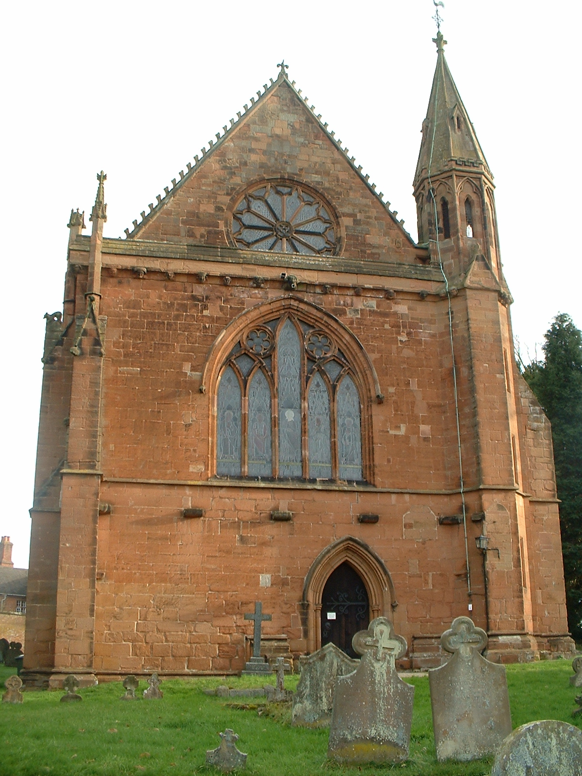
Knowle is a large village situated 3 miles (5 km) east-southeast of the town of Solihull, in the county of the West Midlands, England. Knowle lies within the Arden area of the historic county boundaries of Warwickshire, and since 1974 it has been part of the Metropolitan Borough of Solihull. It lies 2.5 miles from the Warwickshire border and had a recorded population of 10,678.
From the Wikipedia article Knowle, West Midlands (this version), under CC BY-SA 4.0.
Photos of Knowle

Museums and landmarks7

Baddesley Clinton
Museum · 3.1 mi
Manor house in Warwickshire, England, UK

Packwood House
Museum · 2.5 mi
Grade I listed historic house museum in Warwick, United Kingdom

Grimshaw Hall
Monument and historic site · 0.8 mi
Hampton Road, Solihull
Grave of Harry Williams writer of "It's aLong Way to Tipperary)
Monument and historic site · 1.4 mi
Parks, trails and playgrounds16





4 more on the map.
Restaurants and cafes40
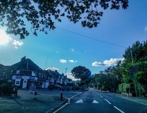
Dark Horse Espresso
Cafe · Coffee Shop · 1.0 mi
106 Widney Road, Solihull
Mo-Fr 07:00-17:00; Sa 08:00-17:00; Su 09:00-16:00
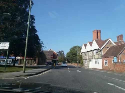
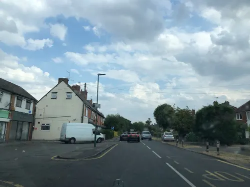
Aroma
Restaurant · Indian · 0.9 mi
100A Widney Road, Solihull
Mo-Fr 17:00-22:30; Sa 17:00-23:00; Su 17:00-21:30
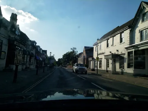


Costa
Cafe · Coffee Shop · 0.4 mi
1648 High Street, Solihull
Mo-Fr 07:00-18:00; Sa-Su 08:00-17:00
28 more on the map.
Where to stay5


History
Formerly a chapelry, in 1866 Knowle became a civil parish. On 1 April 1932, the parish was abolished to form Solihull Urban, part also went to Balsall and Lapworth. In 1931, the parish had a population of 2,982.
From the History section of Knowle, West Midlands on Wikipedia, under CC BY-SA 4.0.
Notable people from Knowle
- Diana MasonBritish equestrian
Born in Knowle, according to Wikidata (CC0). Each name links to its Wikipedia article.
Churches and places of worship10
Roman Catholic Church of Saint Augustine of Canterbury
Church · 2.9 mi
Shopping5
Gas and EV charging2
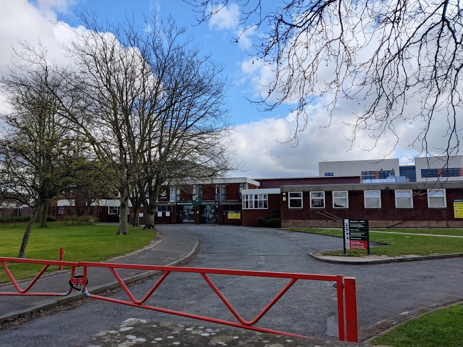
Schools, colleges and libraries8
Lady Katherine Leveson Church of England Primary School
School · Anglican · 1.5 mi
Healthcare3
Map of Knowle
96 places. The map loads OpenStreetMap tiles when you open it.
Getting there and nearby towns
Birmingham Airport (BHX) is the nearest airport with scheduled flights listed in OpenStreetMap, 5 miles away.
- Solihull 3 mi northwest, about 5 min by car
- Coventry 9 mi east, about 15 min by car
- Birmingham 10 mi northwest, about 16 min by car
- Sutton Coldfield 13 mi north, about 21 min by car
- Stratford-upon-Avon 13 mi south, about 21 min by car
- West Bromwich 14 mi northwest, about 23 min by car
- Oldbury 14 mi northwest, about 23 min by car
- Streetly 15 mi northwest, about 24 min by car
- Dudley 17 mi northwest, about 27 min by car
- Walsall 17 mi northwest, about 28 min by car
Drive times are estimates from straight-line distance, not routes.
Towns near Knowle


Keep exploring
Local news
Headlines from INDB.
Reviews, tips and questions
Loading what members have shared...
Sources and licences
- GeoNames (CC BY 4.0): population, coordinates, regions and time zone
- Mapillary (see each image): photos
- OpenStreetMap contributors (ODbL 1.0): places, airports, map data
- Wikidata (CC0 1.0): elevation, founding date, time zone, website, landmarks and historic places
- Wikimedia Commons (see each image): photos
- Wikipedia (CC BY-SA 4.0): overview and history text
Photo credits
- St John the Baptist, Knowle, W Midlands, Poliphilo, CC0
- Baddesley Clinton house north 2016, DeFacto, CC BY-SA 4.0
- Dorridge Park from Arden Drive, Robin Stott, CC BY-SA 2.0
- Knowle Church, Necrothesp at English Wikipedia, CC BY-SA 3.0
- Temple Balsall Church, Unknown author, CC BY-SA 3.0
- Arden-Academy-Front-Gate, EvanM2015, CC BY-SA 4.0
- Barclay's Iron Eagle (5172412806), Andrew Smith from Seattle, WA, USA, CC BY-SA 2.0
- Packwood House - south side, DeFacto, CC BY-SA 4.0
- Street-level photo, laye, CC BY-SA 4.0
- Street-level photo, laye, CC BY-SA 4.0
- Street-level photo, laye, CC BY-SA 4.0
- Street-level photo, laye, CC BY-SA 4.0
- Street-level photo, laye, CC BY-SA 4.0
- Street-level photo, laye, CC BY-SA 4.0
- Street-level photo, laye, CC BY-SA 4.0
- Street-level photo, laye, CC BY-SA 4.0
- Street-level photo, laye, CC BY-SA 4.0
- Street-level photo, laye, CC BY-SA 4.0
- Street-level photo, laye, CC BY-SA 4.0
- Street-level photo, endszbrxns, CC BY-SA 4.0
- Street-level photo, laye, CC BY-SA 4.0
- Street-level photo, laye, CC BY-SA 4.0
Page built November 10, 2026. Spotted a mistake? Tell us or suggest a place.