


Why visit Lenham
Townapedia lists 6 museums and landmarks, 7 parks and trails, 16 places to eat, 6 places to stay and 1 attraction in and around town.
Highlights include 'The Cross': a hill-figure war memorial at Lenham, Leeds Castle, Kiln Wood and Spuckles and Kennelling Woods.
Weather in Lenham
Forecast from MET Norway (CC BY 4.0). Full forecast
About Lenham
Lenham is a market village and civil parish in the Maidstone district, in Kent, England, situated on the southern edge of the North Downs, 9 miles (14 km) east of Maidstone. The picturesque square in the village has two public houses (one of which is a hotel), a couple of restaurants, and a tea-room. The parish has a population of 3,370 according to the 2011 Census.
From the Wikipedia article Lenham (this version), under CC BY-SA 4.0.
Photos of Lenham


Things to do1

Museums and landmarks6

'The Cross': a hill-figure war memorial at Lenham
Monument and historic site · 0.6 mi
War memorial in Lenham, Kent, England, UK

Parks, trails and playgrounds7




Restaurants and cafes16
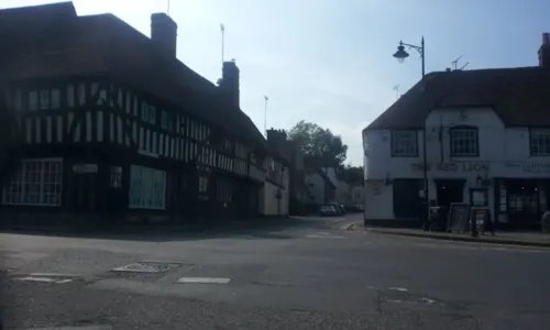
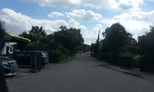
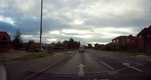
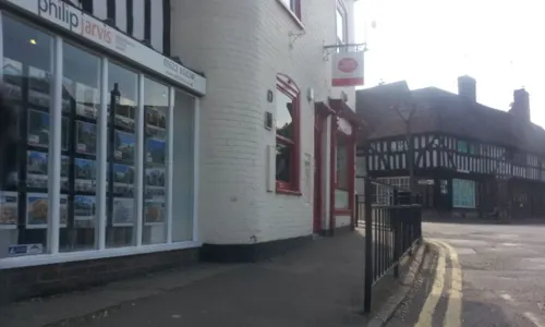
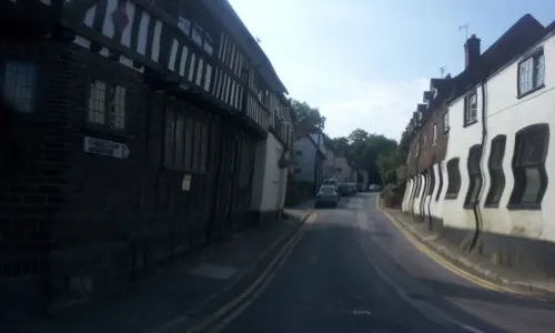
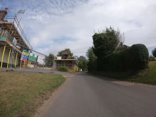
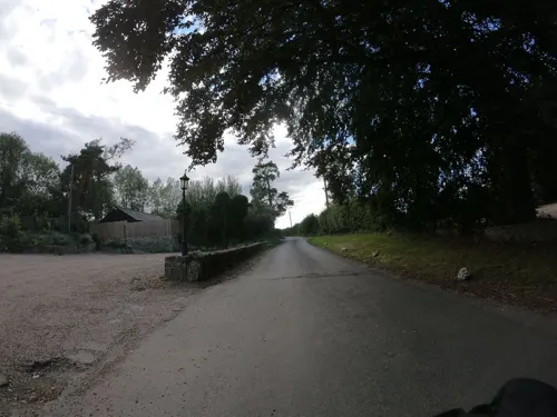
The Ringlestone Inn
Bar and pub · 2.5 mi
Ringlestone Road, Harrietsham
Mo-Tu off; We-Th 12:00-22:30; Fr-Sa 12:00-23:00; Su 12:00-17:00
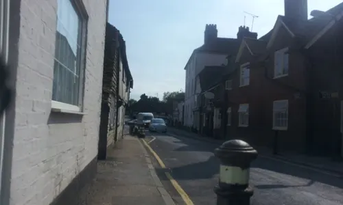


4 more on the map.
History
In 850, Æthelwulf, King of Wessex, granted Ealhhere, ealdorman of Kent, a large estate of forty hides at Lenham.
Mentioned in the Domesday Book of 1086, Lenham market dates back to 1088, when the village was an important crossroad settlement. The manor of Lenham belonged to St Augustine's Abbey, Canterbury, until the dissolution of the monasteries when it reverted to the Crown. Queen Elizabeth I awarded the manor to her chief courtier, William Cecil, Lord Burleigh. It then passed through ownership of the Wilford, Montagu, Hamilton and Best families.
Technically the fact that Lenham is allowed a market, makes it a town but the community have always desired to maintain its village status.
Mary Honywood was born in Lenham. When she died in Essex at the age of 93, she had 367 living descendants.
The Pilgrims' Way/North Downs Way passes along the downland ridge to the north of Lenham. Between this ridge and the village lies a 200-foot (61 m) chalk cross carved into the scarp slope. First constructed in 1922, to remember those who fell in the Great War, and fully restored in 1994, the Lenham Cross now commemorates the dead of both world wars. To avoid its use as a navigation aid by the Luftwaffe, the cross was filled in between 1939 and May 1945.
Read more of the history
On 27 August 1950, Lenham, along with the village of Harvel, was one of the signal relay points (between Calais and London) of the first-ever live television pictures from the continent.
In 2020, Co-op staff member, Jo Bate, won Sales Assistant of the Year for her excellent service during the COVID-19 pandemic.
From the History section of Lenham on Wikipedia, under CC BY-SA 4.0.
Notable people from Lenham
 William Brett, 1st Viscount EsherBritish lawyer, judge and politician (1815-1899)Photo: Unknown author Unknown author, Public domain
- H. Christopher Longuet-HigginsBritish chemist and cognitive scientist (1923-2004)
- Michael S. Longuet-HigginsBritish mathematician (1925-2016)
- Gordon AppsBritish-born World War I flying ace credited with 10 aerial victories (1899-1931)
- Nigel DouglasBritish opera singer (1929-2022)
- Mary HonywoodEnglish matriarch
Born in Lenham, according to Wikidata (CC0). Each name links to its Wikipedia article.
Where to stay6
Churches and places of worship15
Shopping1
Gas and EV charging1
Schools, colleges and libraries8
Healthcare1
Map of Lenham
62 places. The map loads OpenStreetMap tiles when you open it.
Getting there and nearby towns
Rochester Airport (RCS) is the nearest airport with scheduled flights listed in OpenStreetMap, 12 miles away.
- Harrietsham 2 mi west, about 3 min by car
- Charing 4 mi southeast, about 6 min by car
- Sittingbourne 7 mi north, about 12 min by car
- Newington 8 mi north, about 13 min by car
- Maidstone 9 mi west, about 14 min by car
- Ashford 9 mi southeast, about 15 min by car
- Faversham 9 mi northeast, about 15 min by car
- Biddenden 9 mi southwest, about 15 min by car
- High Halden 9 mi south, about 15 min by car
- Lower Halstow 10 mi north, about 16 min by car
Drive times are estimates from straight-line distance, not routes.
Towns near Lenham


Keep exploring
Local news
Headlines from INDB.
Reviews, tips and questions
Loading what members have shared...
Sources and licences
- GeoNames (CC BY 4.0): population, coordinates, regions and time zone
- Mapillary (see each image): photos
- OpenStreetMap contributors (ODbL 1.0): places, airports, map data
- Wikidata (CC0 1.0): elevation, founding date, time zone, website, landmarks and historic places
- Wikimedia Commons (see each image): photos
- Wikipedia (CC BY-SA 4.0): overview and history text
Photo credits
- St. Mary's Church, Lenham 03, Simon Burchell, CC BY-SA 3.0
- St. Mary's Church, Lenham 10, Simon Burchell, CC BY-SA 3.0
- St. Mary's Church, Lenham 07, Simon Burchell, CC BY-SA 3.0
- St. Mary's Church, Lenham 05, Simon Burchell, CC BY-SA 3.0
- St. Mary's Church, Lenham 04, Simon Burchell, CC BY-SA 3.0
- St. Mary's Church, Lenham 06, Simon Burchell, CC BY-SA 3.0
- St. Mary's Church, Lenham 11, Simon Burchell, CC BY-SA 3.0
- St. Mary's Church, Lenham 09, Simon Burchell, CC BY-SA 3.0
- St. Mary's Church, Lenham 08, Simon Burchell, CC BY-SA 3.0
- St. Mary's Church, Lenham 01, Simon Burchell, CC BY-SA 3.0
- St. Mary's Church, Lenham 12, Simon Burchell, CC BY-SA 3.0
- St. Mary's Church, Lenham 02, Simon Burchell, CC BY-SA 3.0
- Lenham library (34798873231), JuliaC2006 from Rochester, UK, CC BY 2.0
- Castle Leeds1 cz, Misterzee, CC BY 3.0
- Kiln Wood 2, Dudley Miles, CC BY-SA 4.0
- Spuckles Wood 1, Dudley Miles, CC BY-SA 4.0
- All Saints Church, Hollingbourne 2, Dave Kelly, CC BY-SA 2.0
- St Nicholas, Pluckley, Poliphilo, CC0
- StGilesWormshill, User:Rjgibb, CC BY-SA 2.0
- St Peter's and St Paul's Church, East Sutton 3, Roger Smith, CC BY-SA 2.0
- Lenham Cross, North Downs Way, Lenham, Kent - April 2025, Mertbiol, CC0
- Chilston Park, Maidstone, Stephen Richards, CC BY-SA 2.0
- Street-level photo, paulbiv, CC BY-SA 4.0
- Street-level photo, paulbiv, CC BY-SA 4.0
- Street-level photo, tallguy, CC BY-SA 4.0
- Street-level photo, paulbiv, CC BY-SA 4.0
- Street-level photo, tallguy, CC BY-SA 4.0
- Street-level photo, paulbiv, CC BY-SA 4.0
- Street-level photo, paulbiv, CC BY-SA 4.0
- Street-level photo, tallguy, CC BY-SA 4.0
- Street-level photo, paulbiv, CC BY-SA 4.0
- Street-level photo, paulbiv, CC BY-SA 4.0
- Street-level photo, paulbiv, CC BY-SA 4.0
- Street-level photo, paulbiv, CC BY-SA 4.0
- Street-level photo, paulbiv, CC BY-SA 4.0
- Street-level photo, paulbiv, CC BY-SA 4.0
- Street-level photo, southglos, CC BY-SA 4.0
- Street-level photo, paulbiv, CC BY-SA 4.0
- Street-level photo, paulbiv, CC BY-SA 4.0
- Street-level photo, paulbiv, CC BY-SA 4.0
- Street-level photo, paulbiv, CC BY-SA 4.0
- Street-level photo, paulbiv, CC BY-SA 4.0
- Street-level photo, paulbiv, CC BY-SA 4.0
- Street-level photo, paulbiv, CC BY-SA 4.0
- Street-level photo, domdomegg, CC BY-SA 4.0
- Street-level photo, tallguy, CC BY-SA 4.0


Page built November 10, 2026. Spotted a mistake? Tell us or suggest a place.